Melbourne & Port Phillip Choose a base first; let the tram grid connect the days.
Melbourne is easiest to plan as a compact CBD core, one deliberate Yarra crossing and a separate bay-side outing. Flinders Street and Southern Cross are useful but different arrival anchors; Southbank trades a quieter river edge for an extra crossing, while St Kilda adds a real cross-city trip. This four-stop plan keeps the free-tram boundary, museum opening checks and an exposed foreshore visible before you book.
- Useful stay
- For a short first visit, sleep near Flinders Street or Melbourne Central for walkable CBD blocks and rail connections.
- Transfer logic
- Use Flinders Street Station for the CBD and Federation Square; use Transport Victoria’s live planner and maps to check tram…
Choose the operating system, then the place.
Every card opens a full route with transport, access, weak points, official sources and visible image provenance.
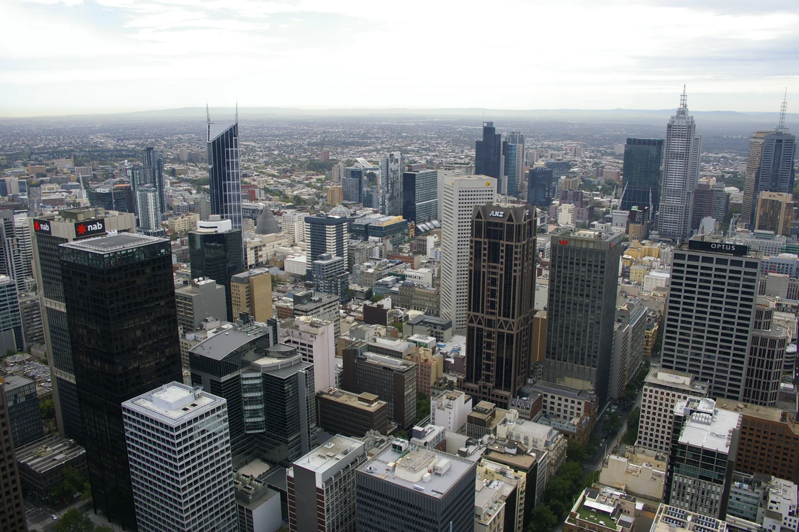
CBD Laneways & Tram Grid
A walkable CBD sequence from Flinders Street Station through Degraves Street, Centre Place and the historic arcades to Bourke Street Mall, with a mapped tram fallback when rain, crowds or tired feet shorten the day.
Open the field guide →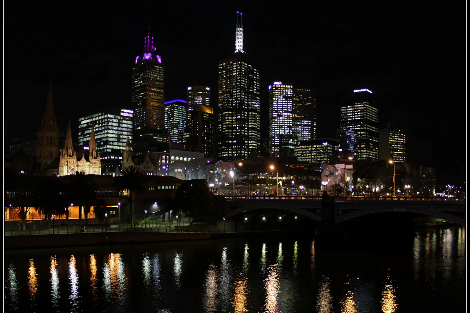
Federation Square & Southbank
A museum-led day that distinguishes ACMI and NGV Australia at Federation Square from NGV International across the Yarra, then follows one purposeful river crossing to a known tram or station.
Open the field guide →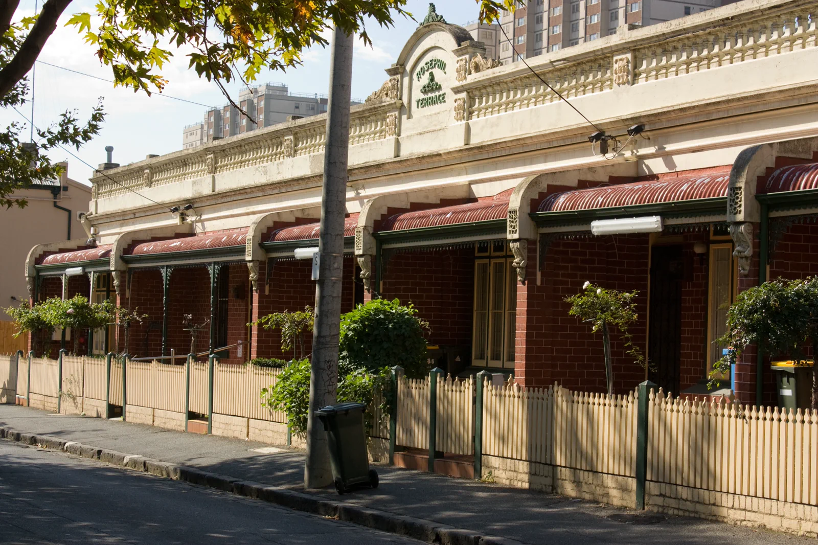
Fitzroy, Carlton & Collingwood
An inner-north neighborhood route connecting one museum or garden, one high street and a meal without treating residential lanes as public exhibitions.
Open the field guide →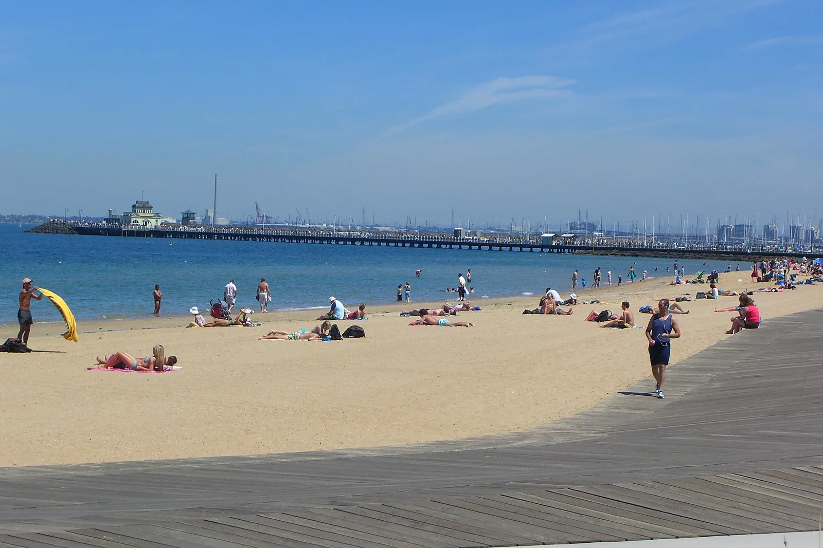
St Kilda & Foreshore
A tram-to-foreshore outing with a daylight beach walk, an optional booked penguin viewing and a return journey checked before the evening gets late.
Open the field guide →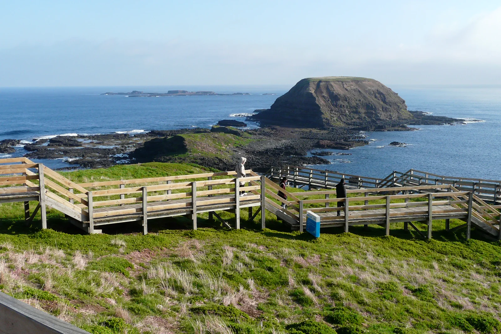
Phillip Island
A long regional day or overnight centered on booked wildlife viewing, coastal weather and a safe drive rather than a late dash from Melbourne.
Open the field guide →Distance is part of the content.
Australia punishes invisible transfer time. These five contracts keep the route honest.
Sleep near the first decision.
For a short first visit, sleep near Flinders Street or Melbourne Central for walkable CBD blocks and rail connections. Choose Southern Cross when a confirmed coach or regional-rail service uses that station as your practical arrival door. Southbank suits an arts-led stay but needs a river crossing for the CBD; St Kilda is a slower, bay-side base with a tram journey back to central sights. Compare the actual hotel address, step-free route, late arrival and cancellation terms before paying.
Name the road, rail, ferry or operator.
Use Flinders Street Station for the CBD and Federation Square; use Transport Victoria’s live planner and maps to check tram routes, disruptions and the exact Free Tram Zone boundary. A trip that leaves that zone, including the ride to St Kilda, needs the current ticketing rules. Check airport-transfer options against your flight and accommodation instead of assuming a city tram covers the airport leg.
Permission and guidance come first.
Use recognised Traditional Owner language and visitor guidance. Do not infer access to cultural places, communities or Country from an online pin.
One national forecast is not enough.
Check the local fire, flood, surf, marine, alpine, heat or cyclone condition that actually governs the selected chapter.
Protect the last safe movement.
Every field guide declares a return, turnaround or overnight before adding optional distance.
Do not clear the map in one day.
CBD Laneways & Tram Grid
Walk south to north: Flinders Street Station → Degraves Street → Centre Place → Collins Street arcades…
Field 02Federation Square & Southbank
Begin at Flinders Street Station and choose ACMI or the Ian Potter Centre at Fed Square.
Field 03Fitzroy, Carlton & Collingwood
Start with a cultural or garden interior, walk one commercial street, pause for food and end at a lit…
Field 04St Kilda & Foreshore
Start from the confirmed tram stop, use Acland Street or the foreshore for food and orientation, then…
Field 05Phillip Island
Arrive early enough for one daylight landscape, use official visitor guidance and reserve the evening…
A useful route depends on the number of days and the operating system.
These examples group real places and protect the return. Check live services, openings, access and weather before fixing the order.
Keep the core compact
Base near Flinders Street or Melbourne Central. Use the arrival window for one short laneway loop; give one full day to the CBD and Federation Square. On departure day, add Southbank only if luggage storage and the onward connection leave a real margin. Skip St Kilda on this short version.
Add one clear contrast
Keep the CBD as your base. Spend one day on the lane-and-arcade sequence, one on either Fed Square and the NGV river crossing or St Kilda, then use the third day for the other choice only if weather and venue hours suit. Book an indoor anchor before arranging the outdoor leg.
Give the bay its own day
Stay central for three nights of city access, then choose whether the final night is still central or in St Kilda for an early foreshore start. Keep one full block each for the CBD, the cultural precinct and St Kilda; do not compress the pier, galleries and laneways into one day. Recheck the last tram before choosing a bayside evening.
Melbourne & Port Phillip FAQ
How long should I give Melbourne & Port Phillip?
Use at least three focused days for one coherent route. Add nights whenever remote roads, vessels, parks or weather gates are involved.
Can every chapter be combined in one stay?
No. Choose the base and transport system that serves the first planning problem; distant chapters often need their own overnight and weather window.
What changes fastest?
Road, park, fire, flood, surf, marine, ferry and operator status. Recheck the linked official source before leaving, even when the booking was made earlier.
Official sources and photo credits
Planning facts and image licenses were reviewed on 12 October 2026. Recheck transport, park, fire, weather, marine and operator conditions before travel.
- Tourism Australia — Melbourne.
- Visit Victoria — Melbourne.
- Transport Victoria — Melbourne public transport and Free Tram Zone maps.
- City of Melbourne — public transport and free tram zone.
- NGV — visit information for NGV International and the Ian Potter Centre.
- ACMI — visit, access and transport information.
- Phillip Island Nature Parks — managed St Kilda penguin viewing.
- City of Port Phillip — current beach report.
- Bureau of Meteorology — Melbourne forecast.
- Melbourne CBD 2008.jpg — Bidgee, CC BY 3.0. Resized, display-cropped and converted to WebP; no other material edits.
- Night view of the Melbourne CBD, over the Yarra River, showing Princes Bridge, St Kilda Road, St Paul's Cathedral, and Federation Square. Peter Neaum. - panoramio.jpg — Peter Neaum, CC BY 3.0. Resized, display-cropped and converted to WebP; no other material edits.
- Rosephil Terrace, Fitzroy Street, Fitzroy, Victoria Australia (4541034919).jpg — Rexness, CC BY-SA 2.0. Resized, display-cropped and converted to WebP; no other material edits.
- Quiet before midday - St Kilda Beach and Pier (3166045772).jpg — Alpha from Melbourne, Australia, CC BY-SA 2.0. Resized, display-cropped and converted to WebP; no other material edits.
- Nobbies zz.JPG — Chensiyuan, CC BY-SA 4.0. Resized, display-cropped and converted to WebP; no other material edits.