Hohhot & Inner Mongolia keep the horizon honest
Hohhot is a useful cultural and transport base, but it is not a shortcut to every grassland, desert and Mongolian community in the autonomous region. Inner Mongolia stretches across immense east-west distance. Begin with museums and living religious sites in the capital, then choose one regional corridor with an accountable operator, current land access and consent-based encounters instead of buying a generic “nomadic day.”
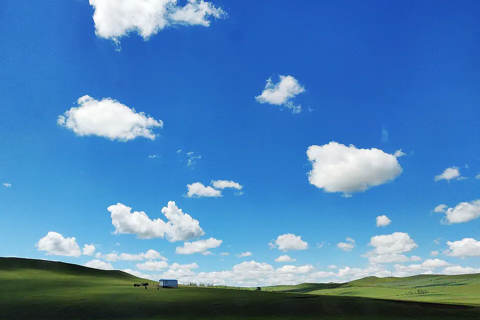
Measure the horizon before assigning it to Hohhot
The eight bands below begin with the regional capital and move outward by evidence: collection, living religion, city history, then one selected steppe, heritage or desert route. Hulun Buir, Xilin Gol and Ordos are not interchangeable scenery and do not sit just beyond the hotel ring road.
Inner Mongolia Museum establishes regional scale
Use the regional collection for archaeology, ecology and the histories of multiple communities before traveling outward. Verify current reservation and language support, read ethnographic displays critically and avoid treating a single costume or pastoral object as a complete account of contemporary life.
Dazhao and nearby monasteries are living spaces
Follow dress, voice, prayer and photography rules, distinguish different institutions and let worshippers move first. The old-city setting adds commercial texture, but a temple visit should not become a costume backdrop or a claim that one precinct represents all Mongolian Buddhism.
Hohhot’s museums reveal more than a gateway
City and administrative-history collections can explain Guihua, Suiyuan, frontier governance and modern urban growth. Choose one credible institution, check closures and pair it with a street sequence that keeps present-day Hohhot visible.
Markets and food need specific names and consent
Mongolian, Hui, Han and other communities contribute different food and neighborhood histories. Ask before portraits, avoid assigning ethnicity by appearance and describe the actual dish, institution or language rather than using “nomadic culture” as an all-purpose label.
Select one grassland with its real geography
Xilin Gol, Hulun Buir and closer tourism areas differ radically in distance, ecology and visitor infrastructure. Choose the ecosystem and season first, then verify road time, land permission, accommodation and whether the operator works with local rights-holders.
Xanadu is a protected cultural landscape, not a yurt stop
The UNESCO site on the southeastern Mongolian plateau combines archaeological remains and surrounding steppe history. It requires its own corridor, managed access and interpretation; do not tack it onto Hohhot without confirming the substantial travel chain.
Ordos and desert attractions form another branch
Desert roads, dunes and commercial resorts sit in a different direction from the main grassland routes. Check heat, wind, operator safety and environmental practice, and do not present captive-animal rides or damaging off-road access as necessary culture.
Hospitality is not unlimited permission
A family visit, meal, festival or livestock encounter should have clear local consent, fair compensation and photography boundaries. Reject operators that script residents as props, pressure alcohol consumption or drive off approved tracks for a more “authentic” image.
Make three decisions while the map is still quiet
Name one corridor, not the entire autonomous region
For a short trip, Hohhot plus a nearby researched branch is enough. Hulun Buir usually needs separate flights or rail and its own itinerary; Xilin Gol, Ordos and Xanadu also require distinct routes.
Demand a written road and consent plan
Ask for vehicle, insurance, driver hours, exact accommodation, included activities, land access, cancellation and community-payment details. A generic photo gallery and the word “grassland” do not establish responsible operations.
Weather decides color, access and comfort
Green grass, autumn color, winter cold and desert conditions occur on different calendars across a huge region. Use current local forecasts and operator reports, pack for wind and large temperature swings and accept that a marketing image may belong to another month.
A regional route with the kilometers left visible
The example uses Hohhot for two days and reserves the remaining time for one selected corridor. Do not combine the grassland, desert and Hulun Buir branches into the same week.
Museum, living religion and contemporary city
Build regional context in one major collection, visit one or two active religious sites respectfully and use a named neighborhood or food tradition for the evening.
Weather, vehicle and community agreement
Confirm the exact regional route, current land and road access, driver hours and consent rules before departure. Use a city day if those details remain vague.
One steppe, heritage or desert branch
Travel the chosen direction slowly enough to understand ecology and settlement, keep off-road movement managed and leave unscripted time without demanding staged hospitality.
Buffer the long road and close the context
Return to Hohhot with margin for weather and road delays. Use a final museum, meal or market to connect the regional branch back to the capital before onward rail or flight.
Distance and consent are infrastructure
Carry the route beyond mobile coverage
Save Chinese and Mongolian place names where available, accommodation contacts, driver identity and return plan offline. Do not let a single app or guide phone become the only safety layer.
Stay on approved tracks and protect water
Steppe and desert surfaces can be fragile despite their scale. Follow reserve and landholder rules, pack out waste, avoid disturbing livestock or wildlife and reject unauthorized off-road shortcuts.
Ask before portraits, homes and ceremonies
Permission for an operator to enter does not automatically permit photography. Learn the specific host or community name, accept refusal and never publish private religious or domestic moments without informed consent.
Hohhot & Inner Mongolia planning FAQ
Can I see Inner Mongolia on a day trip from Hohhot?
A nearby managed outing may fit a long day, but it cannot represent the region. Meaningful grassland, desert or heritage routes need explicit geography, road time and usually several nights.
Is Hulun Buir near Hohhot?
No. Hulun Buir is far to the northeast and normally requires a separate long-distance transport and itinerary. The page image identifies that regional scale rather than implying it is outside Hohhot.
How do I choose a responsible grassland operator?
Request exact locations, vehicle and insurance details, land access, host compensation, photography consent and environmental rules in writing. Avoid packages built mainly around staged costumes, forced drinking or uncontrolled off-road driving.
How many days should I allow?
Two Hohhot days plus three to five days for one selected regional branch is a realistic first route. Longer-distance corridors such as Hulun Buir deserve a separate trip.
Official sources and photo credit
Planning facts and licenses were reviewed on 28 August 2026. Transport, reservations, protected-area access, border rules and local operating arrangements change; verify the current authority or operator close to travel. The image was resized and converted to WebP; its display crop may vary by screen, with no other material changes.
- Hohhot Culture, Tourism, Radio and Television Bureau — current city and visitor notices.
- UNESCO Man and the Biosphere Programme — Xilin Gol steppe ecology and conservation context.
- UNESCO World Heritage Centre — Site of Xanadu and its protected grassland setting.
- China Railway 12306 — official ticket and identity-document guidance.
- Hulun Buir grassland — Emmazzye, CC BY-SA 4.0.