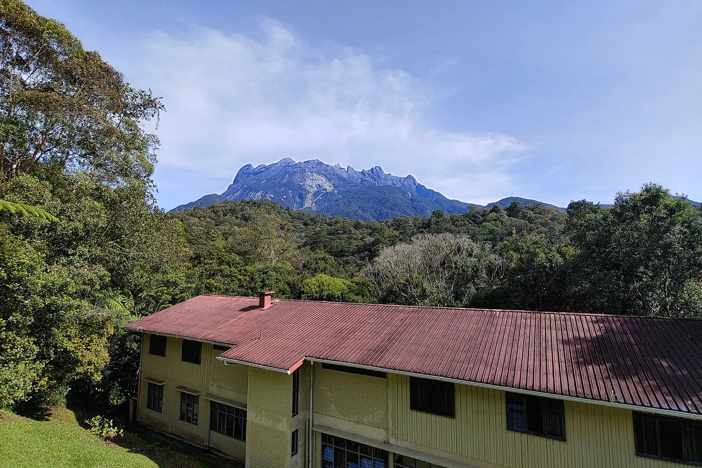
Kinabalu Park the summit is one route, not the whole mountain.
First decide whether this is a World Heritage park-and-highland visit or a regulated summit expedition. They use the same mountain horizon but very different booking, fitness, timing and recovery systems.
Go beyond the regional overview.
Separate the accessible World Heritage highlands from the regulated summit expedition, then give Kundasang and Poring their own road and weather decisions.
01Park Headquarters & Botanical Garden
Experience Kinabalu Park without a summit climb through headquarters trails, botanical interpretation and a weather-aware highland base.
Open the field guide →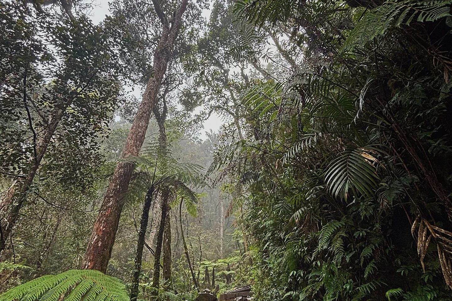 02
02Mount Kinabalu Summit
Treat the Mount Kinabalu summit as a regulated expedition with advance capacity, registered guide, altitude judgment and recovery time.
Open the field guide →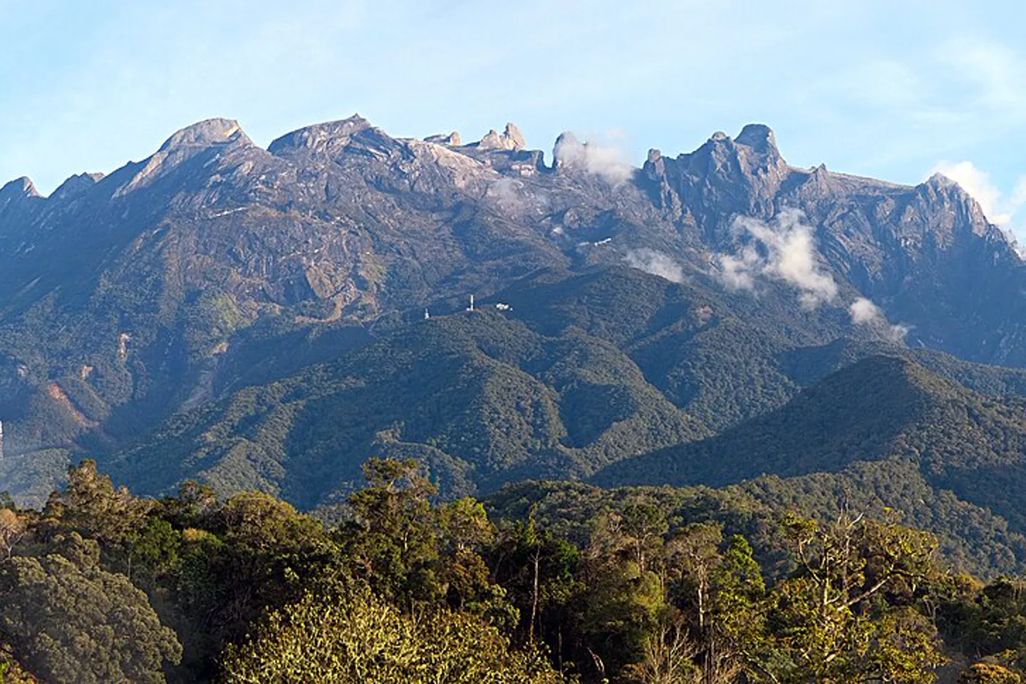 03
03Kundasang & Ranau
Use Kundasang and Ranau as a highland road base with working farms, memorial context, changing views and named transport stops.
Open the field guide →04Poring Hot Springs & Lowland Trails
Plan Poring as a lower-elevation forest and recreation branch with road time, trail choices, weather and realistic hot-spring expectations.
Open the field guide →The road rises faster than the itinerary should.
Sabah Parks places Park Headquarters around 1,520 metres above sea level. Cooler air does not remove ultraviolet exposure, rain, road fatigue or the need to acclimatize to a demanding climb.
Kota Kinabalu
Use the capital for flight recovery, supplies and the protected road transfer. A late arrival is not a good pre-climb night.
Nabalu + Kundasang
Viewpoints, farms and memorial or market stops sit along working roads. Do not stop unsafely for a cloud opening.
Park Headquarters
Conservation centre, garden, interpreted walks, accommodation and climb briefing form the operational hub.
Controlled ascent
Guide, registration, accommodation, weather and personal fitness determine access. A view is never guaranteed.
A non-climber is not on a lesser itinerary.
The protected park supports botanical and forest interpretation at a range of abilities. The summit route is a separately regulated expedition and should never be treated as an automatic add-on.
Stay low enough to look closely.
Build around Park Headquarters, the botanical garden, an interpreted nature trail and one carefully chosen highland chapter.
- Check current park hours and guided activities.
- Allow rain to shorten a trail without ruining the day.
- Use a driver or planned transport for dispersed Kundasang stops.
- Support working farms or communities only through transparent, respectful visits.
Permit first. Training before pride.
The official Mount Kinabalu climb requires registration and a registered mountain guide. Current availability, route conditions and required package elements must be confirmed before flights.
- Assess health, fitness and altitude response honestly.
- Use the official or recognized booking chain.
- Carry required layers, rain protection, light and footwear.
- Accept a guide or park decision to turn back.
Every rung must exist before the first step.
Do not buy a flight because a social post says permits “usually open.” Ask the current authority or recognized operator to name the complete regulated chain and cancellation consequences.
Official availability
Confirm a controlled climb slot for the exact traveler names and dates.
Registered coverage
Clarify guide assignment, group ratio and meeting or briefing point.
Mountain night
Know the accommodation, meals and what the package actually includes.
Health + equipment
Train, disclose relevant conditions and follow the current kit requirements.
Authority decides
Conditions can stop the ascent. Build financial and emotional room to turn back.
Plan the highland, not a guaranteed reveal.
Visibility can change quickly. Start important outdoor time early, but treat every viewpoint as weather-dependent. Rain also affects road grip, trail surfaces and the safe duration of a walk.
The forest is not scenery below the summit.
Kinabalu Park's global value includes exceptional plant diversity across elevation zones. Use marked routes and interpretation, keep plants and animals undisturbed, and clean footwear or equipment as instructed to reduce biological transfer.
Stay on the trail, keep sound low, do not lure or feed animals, and let guides decide distance. Good interpretation remains valuable even when the animal list stays blank.
Park proximity and Kundasang flexibility solve different problems.
The district is road-based and spread out. A property that looks nearby on a map may sit on a steep local road with limited meals, reception or transport after dark.
Choose access over panorama.
Useful for early park activities, climb briefing or a quiet forest-focused stay. Verify meals, current accommodation management and the exact distance to the entrance you need.
Choose a road plan, not just a view.
A wider set of stays can support farms, memorials and mountain views, but transport and weather shape every stop. Confirm the access road and backup meals before arrival.
Build a complete park route, then substitute the climb only if booked.
This default route does not assume a summit permit. Climbers should replace the central days with the official ascent sequence and keep recovery before the next fixed travel day.
Protected road ascent
Leave Kota Kinabalu with daylight, stop selectively and arrive early enough to learn the base, meals and next day's park plan.
Park Headquarters
Use official interpretation, botanical or nature-trail options that match current opening and rain. Keep the afternoon flexible.
Kundasang context
Choose one farm, memorial, community or landscape argument. Avoid a windshield checklist and respect working land.
Cloud reserve + descend
Use an early clear window if it appears, then descend conservatively. Do not place a tight flight after a mountain road or climb.
Kinabalu planning FAQ
Can I enjoy the park without climbing?
Yes. Park Headquarters, interpreted trails, the botanical garden and Kundasang form a complete non-climbing visit. The summit is a separate regulated expedition.
Can I arrange a summit climb after arrival?
Do not depend on it. The official climb requires registration, a mountain guide and a controlled booking chain. Confirm current availability and inclusions before building flights around it.
Where should I stay?
Choose Park Headquarters for trail and briefing proximity; choose Kundasang for a wider highland base. Confirm the exact road, meals and transport because the area is not one walkable village.
Is a day trip from Kota Kinabalu enough?
It can provide a brief park introduction, but much of the day becomes road time and cloud may hide the mountain. An overnight stay protects the park from being only a viewpoint stop.
When is the mountain most visible?
Early windows are often useful, but no hour or month guarantees visibility. Treat cloud and rain as normal highland conditions and follow current forecasts.
Can I continue to an immediate flight after the climb?
Build recovery and road delay into the itinerary. Fatigue, weather and operational changes make a tight same-day connection a poor plan.
Official sources and photo credits
Planning facts and licenses were reviewed on 30 August 2026. Park access, climb availability, fees, briefings and conditions change; verify directly before travel. Photographs were resized, center-cropped to 1440 × 960 and converted to WebP; no other material edits were made.
- Sabah Parks — Kinabalu Park, activities and facilities.
- Sabah Parks — Mount Kinabalu climb and registered-guide requirement.
- Sabah Parks — Kinabalu World Heritage Site public database.
- UNESCO World Heritage Centre — Kinabalu Park.
- METMalaysia — official district weather forecast.
- Mount Kinabalu from Park Headquarters — Tecrc, CC BY-SA 4.0.
- Mount Kinabalu from Kampong Kundasang — kallerna, CC BY-SA 4.0.
- Mount Kinabalu forest trail — kallerna, CC BY-SA 4.0.