Cairns & Wet Tropics Build separate days for reef departures, rainforest crossings and tropical coast roads.
Cairns is a practical gateway rather than the whole tropical experience. Treat it as the base for a city Lagoon day, a booked reef vessel, the Cairns–Kuranda rail and cableway crossing, and a Palm Cove beach visit. Port Douglas and the Daintree use separate transport and weather decisions. Start with nights and the return connection, then choose the chapters that fit; do not turn one Cairns base into a promise that every northern road is a day trip.
- Useful stay
- Use Cairns for a reef departure and city or Kuranda days; move to Port Douglas when the northern coast is the focus.
- Transfer logic
- Cairns is the rail and flight gateway, but each chapter has a different last mile: the booked reef operator sets its…
Choose the operating system, then the place.
Every card opens a full route with transport, access, weak points, official sources and visible image provenance.
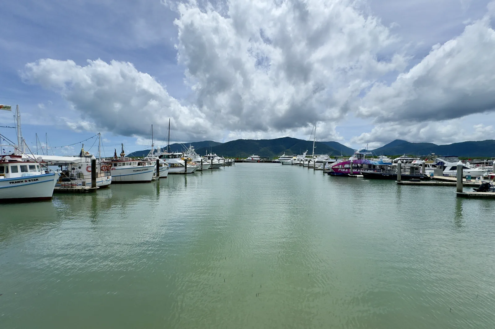
Cairns Esplanade & Reef Terminal
A Cairns waterfront plan that separates a managed city swim from a reef departure whose check-in location and time depend on the booked operator.
Open the field guide →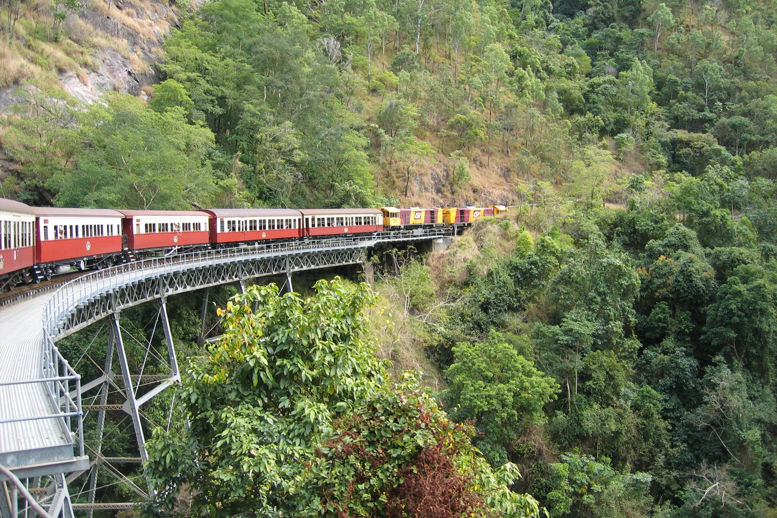
Kuranda Rail & Rainforest Cableway
A full-day one-way rail and cableway crossing between Cairns and Kuranda, with station transfers and weather notices checked against the exact ticket.
Open the field guide →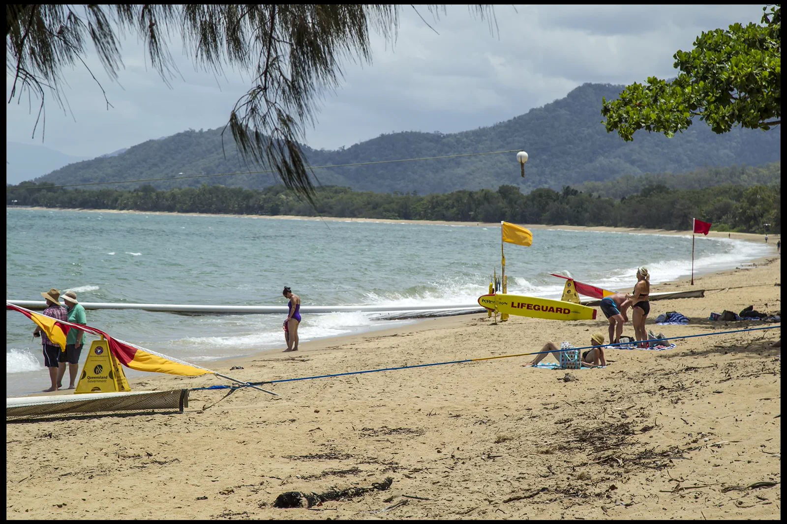
Northern Beaches & Palm Cove
A tropical beach day selected by patrol, marine stinger advice, crocodile warnings and bus or road return rather than postcard calm.
Open the field guide →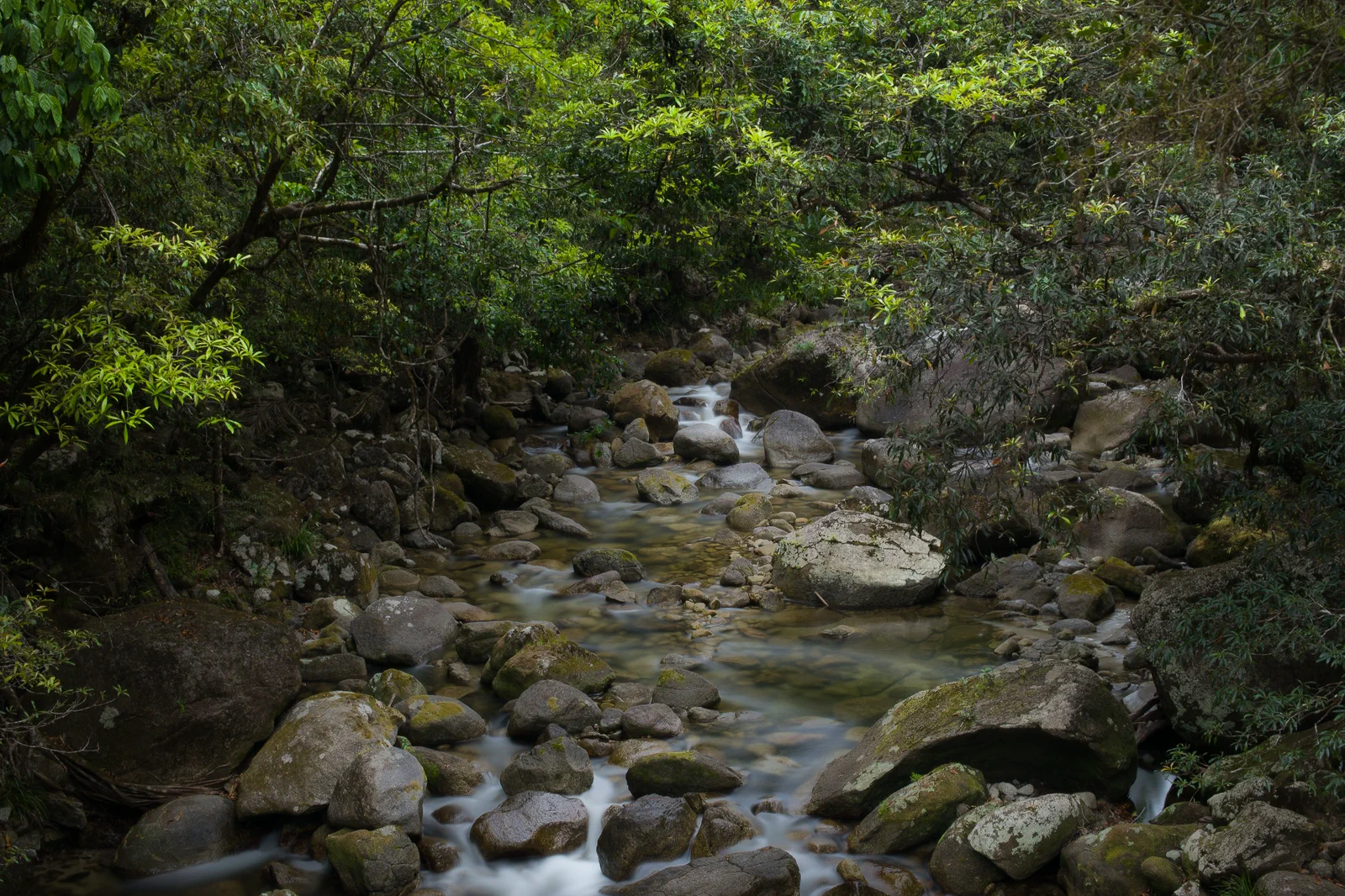
Port Douglas & Mossman Gorge
A practical Port Douglas base for a separate Mossman Gorge visit, using the Centre shuttle and choosing a walk that fits current track, river and mobility conditions.
Open the field guide →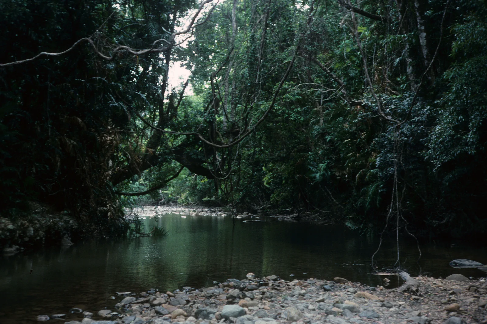
Daintree & Cape Tribulation
A remote rainforest and coast drive north of the Daintree River, planned around the ferry, current road access, limited services and an overnight buffer.
Open the field guide →Distance is part of the content.
Australia punishes invisible transfer time. These five contracts keep the route honest.
Sleep near the first decision.
Use Cairns for a reef departure and city or Kuranda days; move to Port Douglas when the northern coast is the focus. Stay north of the Daintree only when the ferry, road status, daylight, meals, fuel and accommodation are confirmed. Keep the final night near the flight or rail departure rather than relying on a long same-day transfer.
Name the road, rail, ferry or operator.
Cairns is the rail and flight gateway, but each chapter has a different last mile: the booked reef operator sets its check-in, the Kuranda package connects Cairns or Freshwater with Skyrail at Smithfield, and a Palm Cove return depends on the date-specific Translink plan or a booked transfer. For the Daintree, check the ferry and road directly. Do not assume one bus, ticket or operating day covers the region.
Permission and guidance come first.
Use recognised Traditional Owner language and visitor guidance. Do not infer access to cultural places, communities or Country from an online pin.
One national forecast is not enough.
Check the local fire, flood, surf, marine, alpine, heat or cyclone condition that actually governs the selected chapter.
Protect the last safe movement.
Every field guide declares a return, turnaround or overnight before adding optional distance.
Do not clear the map in one day.
Cairns Esplanade & Reef Terminal
On a non-boat day, walk the Esplanade when the heat suits, use the Lagoon only if the council lists it…
Field 02Kuranda Rail & Rainforest Cableway
Start from the exact Cairns or Freshwater boarding point, make the rail or Skyrail crossing in the…
Field 03Northern Beaches & Palm Cove
Arrive in daylight, use the public beachfront and shaded streets at a comfortable pace, and choose a…
Field 04Port Douglas & Mossman Gorge
Reach the Centre early enough to use the shuttle and complete one suitable walk, then return to Port…
Field 05Daintree & Cape Tribulation
Cross in daylight, select a small number of open managed stops such as Dubuji Boardwalk, and reach…
A useful route depends on the number of days and the operating system.
These examples group real places and protect the return. Check live services, openings, access and weather before fixing the order.
Cairns base
Keep arrival day in the city. Choose one full reef day and one other chapter—either Kuranda or a northern beach—then leave a buffer before an onward flight. This is a focused Cairns stay, not time to add Port Douglas, Mossman Gorge and Cape Tribulation as extra day trips.
reef and one land day
Use Cairns for a city arrival, one reef departure, one Kuranda crossing and one flexible day for Palm Cove or a weather recovery. Choose the beach only after checking the return service for your date. If Port Douglas matters more than Cairns evenings, transfer there for a separate two-night base instead of commuting north repeatedly.
two bases, one long north day
Give Cairns several nights for the reef and rail or cableway, then move to Port Douglas for the coast and Mossman Gorge. Treat Cape Tribulation as its own road plan, preferably with a northern overnight when access and accommodation suit. Return to Cairns the day before an important flight; do not make a ferry queue the final connection.
Cairns & Wet Tropics FAQ
How many nights should I give Cairns?
Three nights can fit arrival and departure logistics plus one reef day and one other full chapter such as Kuranda or a northern beach, if your flights leave those days usable. Add a night when you want both land chapters or a weather buffer. Move to a second base when the northern coast is a real priority.
Can I visit the Daintree as a quick Cairns day trip?
It is a long, road-dependent day with the Daintree River ferry, limited services and a separate return. Check current ferry, road, daylight and tour conditions; an overnight north of the river is often more coherent than stacking it with Cairns activities.
Should I rent a car for all five chapters?
Not automatically. A car helps with a self-directed coast or rainforest route, while reef vessels, Kuranda packages and the Cairns city day have their own transport systems. Compare the exact parking, transfer, ferry and fatigue costs before keeping a car throughout.
What should I verify just before travel?
The booked reef operator’s check-in and sea notice, current rail and Skyrail status, the Translink journey for a Palm Cove return, road and ferry conditions north of Cairns, and the local heat, storm or marine warnings for the next day.
Official sources and photo credits
Planning facts and image licenses were reviewed on 12 October 2026. Recheck transport, park, fire, weather, marine and operator conditions before travel.
- Tourism Australia — Cairns.
- Tourism Tropical North Queensland — official visitor guide.
- Wet Tropics Management Authority.
- Queensland Parks — Daintree National Park.
- Great Barrier Reef Marine Park Authority — visiting the reef.
- Cairns Marlin Marina, 2025.jpg — Chris Olszewski, CC BY-SA 4.0. Resized, display-cropped and converted to WebP; no other material edits.
- Cairns Kuranda Scenic Railway in Barron Gorge National Park - panoramio.jpg — Qwesy, CC BY 3.0. Resized, display-cropped and converted to WebP; no other material edits.
- Cairns Palm Cove Beach-1 (23535535775).jpg — Sheba_Also 43,000 photos, CC BY-SA 2.0. Resized, display-cropped and converted to WebP; no other material edits.
- Mossman Gorge, Far North Queensland.jpg — Runningboffin, CC BY-SA 4.0. Resized, display-cropped and converted to WebP; no other material edits.
- Emmagen Creek, Daintree National Park, Cape Tribulation, 1989 QUT-502.jpg — Iraphne R. Childs, CC BY 4.0. Resized, display-cropped and converted to WebP; no other material edits.