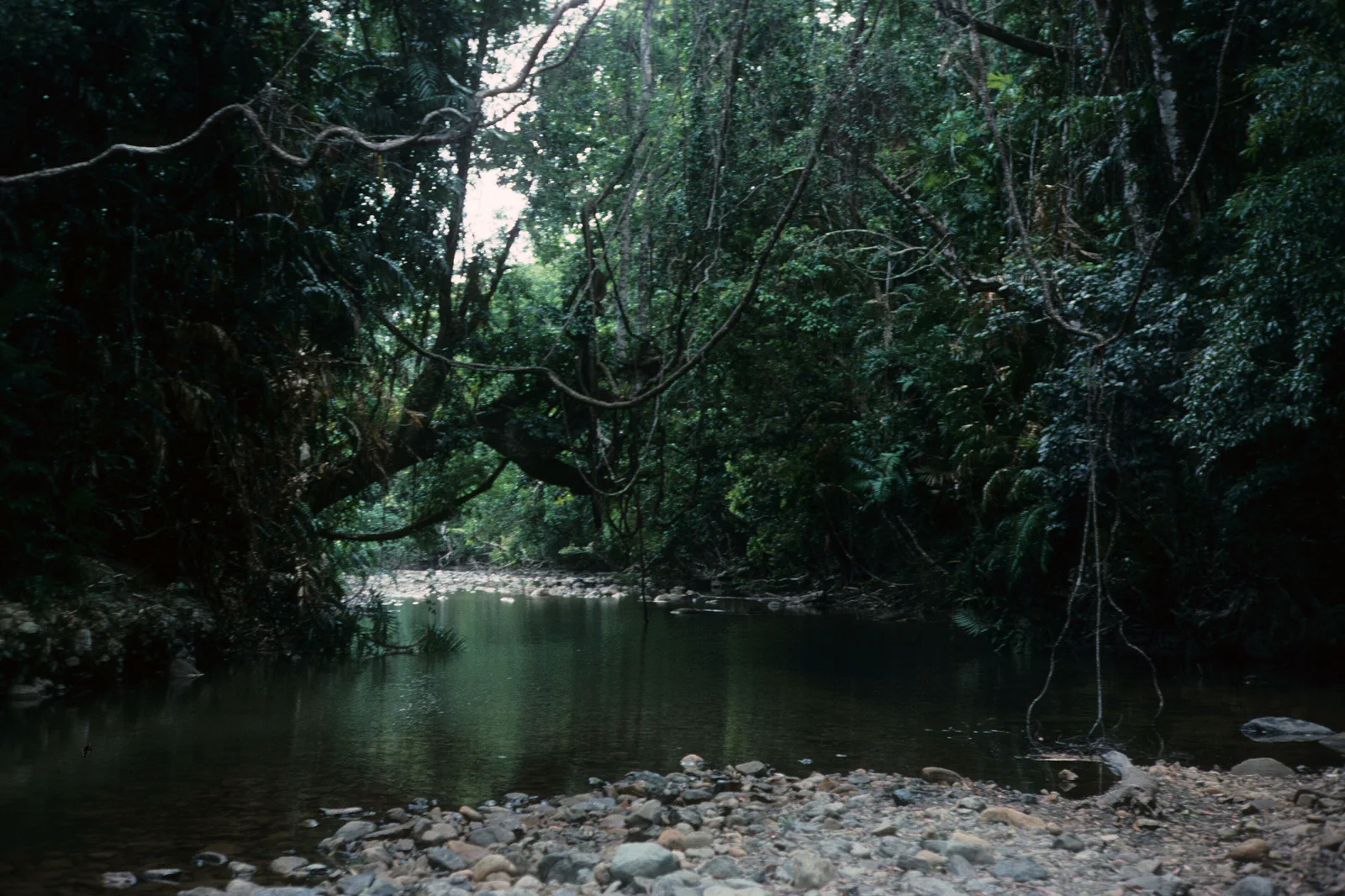
Daintree & Cape Tribulation river-crossing rainforest road.
A remote rainforest and coast drive north of the Daintree River, planned around the ferry, current road access, limited services and an overnight buffer.
A self-drive or booked tour with a full daylight window, flexible plans and at least one night north of the river. Two nights give more room for rain or access changes.
A Cairns return to Cape Tribulation in one day leaves little margin for ferry queues, stops or delays. Base in Port Douglas or stay north of the river.
During the wetter months, especially January to March around Cairns, check live warnings rather than relying on seasonal averages. If ferry, road or track access is affected, stay south of the river or at confirmed accommodation; use Mossman Gorge only if it is open and reachable.
Make the decision before the distance.
The route runs from Mossman north to the Daintree River ferry, then along the narrow, winding road to Cape Tribulation. Ferry status, the road north and each boardwalk or beach access are separate checks. Standard 2WD access is possible on the main route when open, but road notices and vehicle conditions govern the day.
A route with an exit built in.
Check before the ferry
Review service and queue updates, operating window, weather and park alerts before committing north.
Cross and drive carefully
Use the ferry, obey road signs and allow for a narrow, winding road and wildlife.
Choose open rainforest access
Use signed boardwalks such as Dubuji only when the current park notice confirms access.
Finish at a confirmed base
Reach accommodation before dark, or turn back south while the ferry and road remain available.
Three reasons to change the plan.
Ferry queue or service change
Operating window, river conditions and status updates can change; school holiday queues add uncertainty.
Flooding and isolation
Heavy rain can close roads and tracks or interrupt the crossing. Follow official alerts and do not cross barriers.
Wildlife and water
Slow for cassowaries and never enter beaches, creeks or rivers based on appearance or past conditions.
Access is never implied by proximity.
This is Eastern Kuku Yalanji Country and World Heritage rainforest. Follow Traditional Owner and park guidance, remain on open tracks, drive cautiously for cassowaries and keep clear of beaches, rivers and creeks where crocodiles may be present. Flooding can isolate the route and disrupt ferry service.
Four related field chapters.
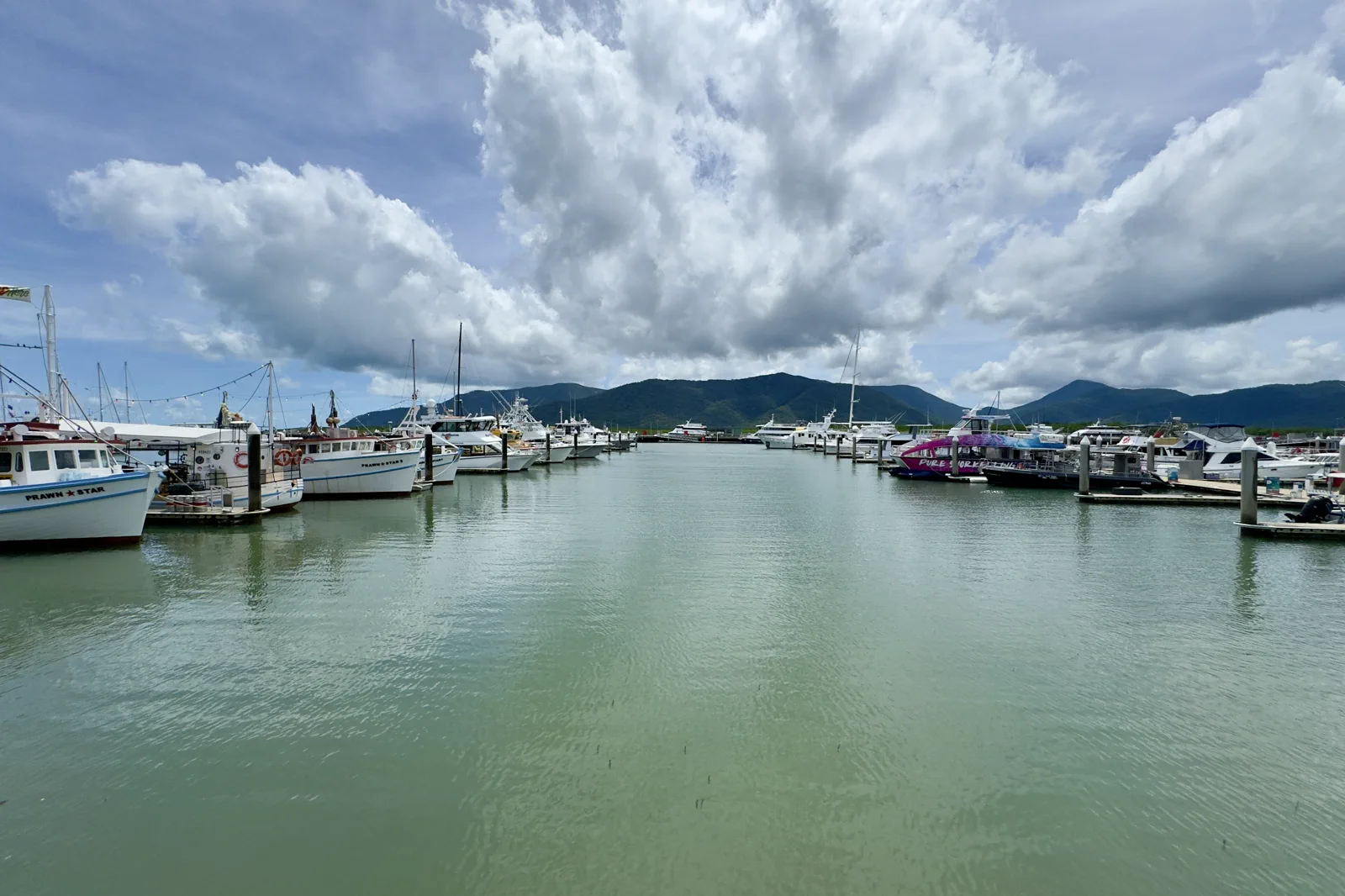
Cairns Esplanade & Reef Terminal
A Cairns waterfront plan that separates a managed city swim from a reef departure whose check-in location and…
Open the field guide →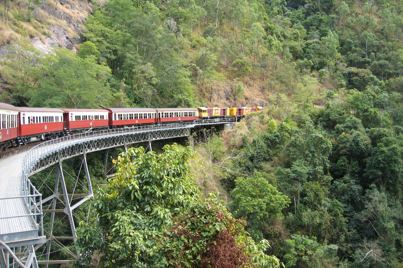
Kuranda Rail & Rainforest Cableway
A full-day one-way rail and cableway crossing between Cairns and Kuranda, with station transfers and weather…
Open the field guide →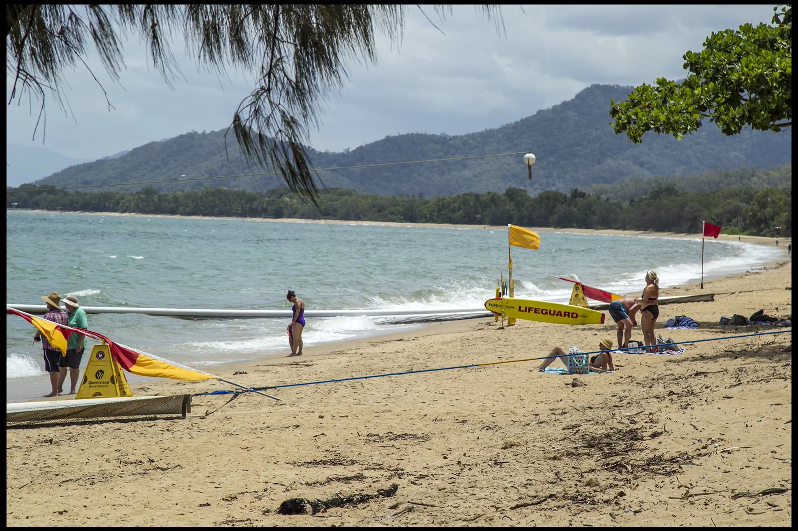
Northern Beaches & Palm Cove
A tropical beach day selected by patrol, marine stinger advice, crocodile warnings and bus or road return…
Open the field guide →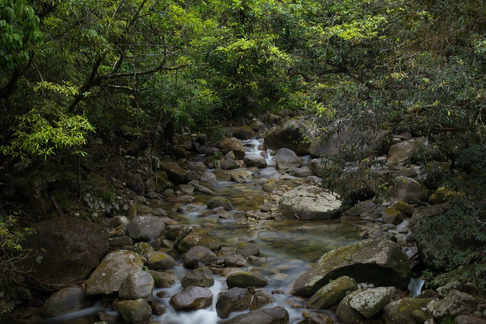
Port Douglas & Mossman Gorge
A practical Port Douglas base for a separate Mossman Gorge visit, using the Centre shuttle and choosing a walk…
Open the field guide →Daintree & Cape Tribulation FAQ
Can a regular 2WD reach Cape Tribulation?
Queensland Parks describes standard 2WD access on the main route when conditions allow, but the road is narrow and winding. Check current park and road notices for your date and vehicle.
What should I do if the ferry is delayed or closed?
Use the ferry status and road alerts before setting out. If service is suspended, do not cross; if a road closes after you are north, follow current authority instructions and use confirmed local accommodation. Do not plan around an assumed crossing time.
Should I swim at Cape Tribulation?
Treat beaches, rivers and creeks as wildlife habitat and follow current crocodile warnings. Do not swim unless official local advice specifically identifies a safe, open place.
Official sources and photo credits
Planning facts and image licenses were reviewed on 9 October 2026. Access, weather, transport, fire, marine and operator conditions change; verify directly before travel.
- Daintree Ferry — service information.
- Daintree Ferry — status updates.
- Queensland Parks — Daintree National Park.
- Queensland Parks — visiting Daintree safely.
- Queensland Parks — Dubuji Boardwalk.
- Bureau of Meteorology — Cairns climate.
- Cairns Marlin Marina, 2025.jpg — Chris Olszewski, CC BY-SA 4.0. Resized, display-cropped and converted to WebP; no other material edits.
- Cairns Kuranda Scenic Railway in Barron Gorge National Park - panoramio.jpg — Qwesy, CC BY 3.0. Resized, display-cropped and converted to WebP; no other material edits.
- Cairns Palm Cove Beach-1 (23535535775).jpg — Sheba_Also 43,000 photos, CC BY-SA 2.0. Resized, display-cropped and converted to WebP; no other material edits.
- Mossman Gorge, Far North Queensland.jpg — Runningboffin, CC BY-SA 4.0. Resized, display-cropped and converted to WebP; no other material edits.
- Emmagen Creek, Daintree National Park, Cape Tribulation, 1989 QUT-502.jpg — Iraphne R. Childs, CC BY 4.0. Resized, display-cropped and converted to WebP; no other material edits.