Australia distance is the first itinerary.
Build the trip from operating regions, not a bucket list. Sixteen complete hubs separate city transport, remote road, reef vessel, alpine weather, fire, flood and Country-specific access before they become an unsafe national blur.
Name Country and permission.
Use recognised Traditional Owner names and guidance. A road, track or map pin never proves cultural or community access.
Make distance visible.
Flights, fuel, ferries, regional bases and driver recovery are itinerary content—not a small line between attractions.
Check the governing condition.
Fire, flood, cyclone, heat, surf, marine, alpine and park status can close different regions on the same day.
Harbours, escarpments, river bends and surf corridors.
Sydney, the Blue Mountains, Brisbane and the Gold Coast use public transport well—until the park, island or headland changes the contract.
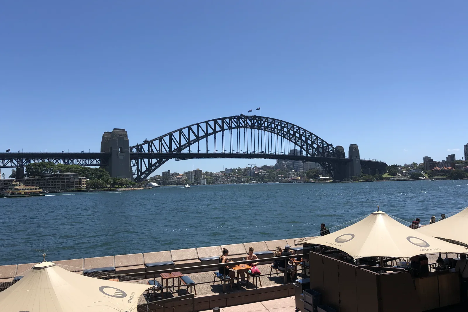
Sydney, Harbour & Coast
Sydney works best as several linked transport-and-weather days, not one central checklist.
Open the regional atlas →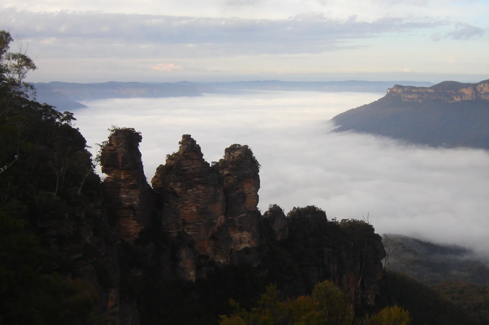
Blue Mountains & NSW Coast
Blue Mountains & NSW Coast is a family of distinct trips, not a single day-trip circuit.
Open the regional atlas →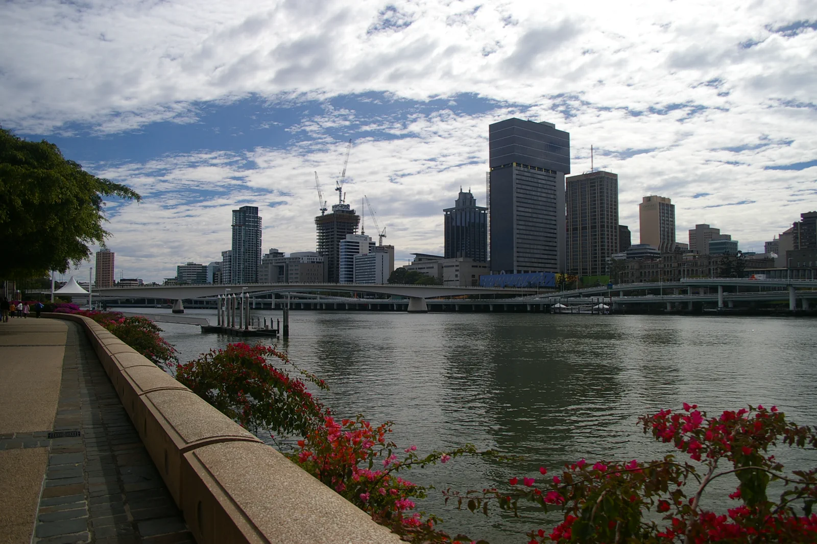
Brisbane & Moreton Bay
Brisbane turns around the bends of the river, while the bay begins a different travel system of ferries, sand tracks and island weather.
Open the regional atlas →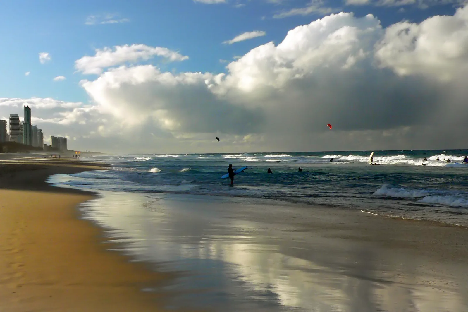
Gold Coast & Scenic Rim
The Gold Coast is not one beach with five nearby add-ons.
Open the regional atlas →Tram grids, cliff roads, parklands and alpine axes.
Melbourne, the Great Ocean Road, Adelaide and Canberra reward cultural attention, sober driving and weather-specific regional bases.
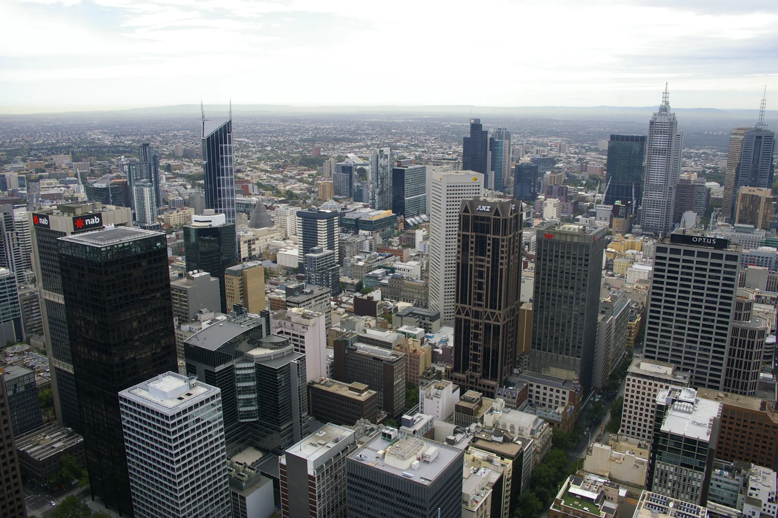
Melbourne & Port Phillip
Melbourne is easiest to plan as a compact CBD core, one deliberate Yarra crossing and a separate bay-side outing.
Open the regional atlas →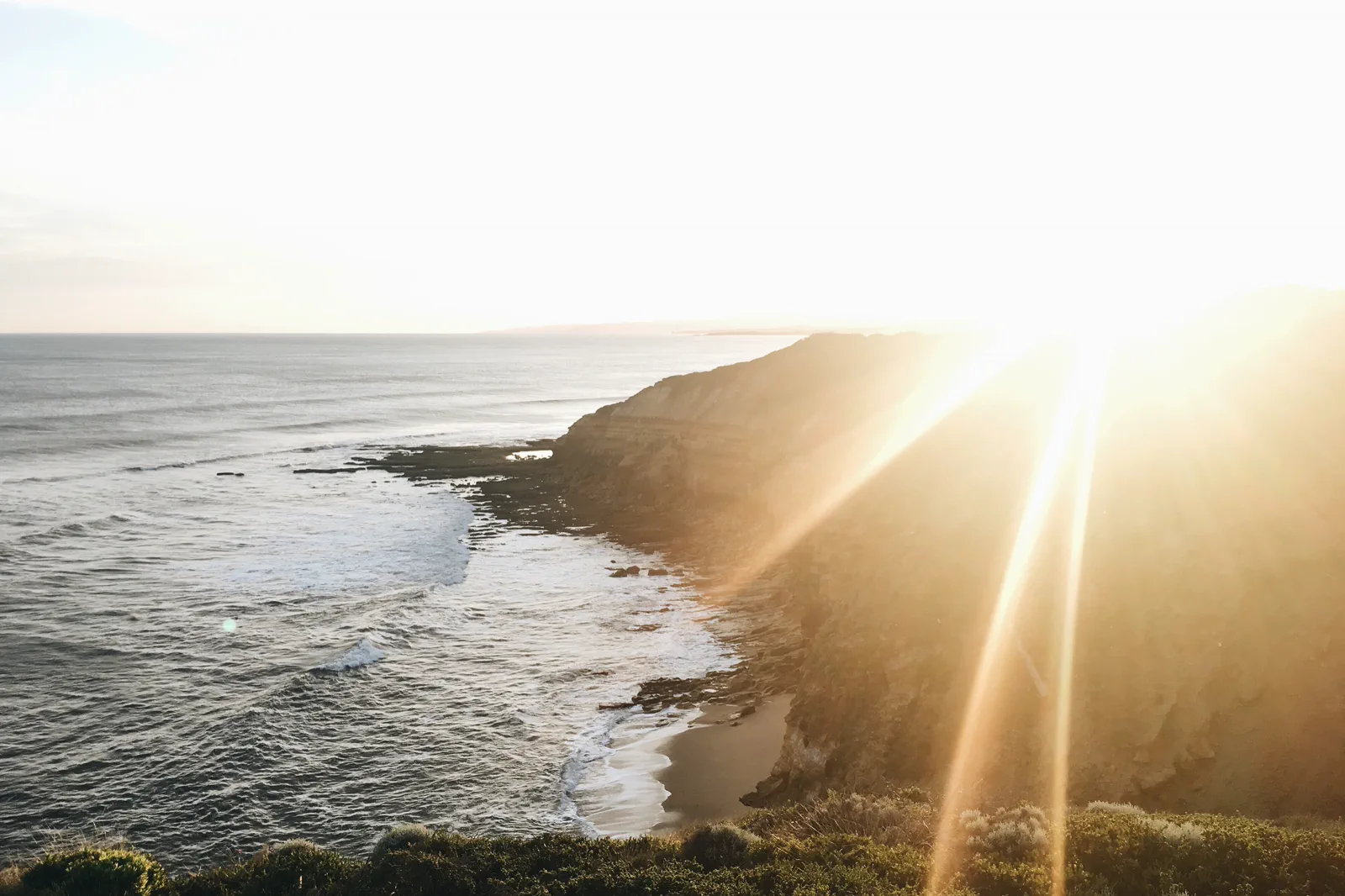
Great Ocean Road & Gariwerd
Victoria’s southwest changes character in stages: Torquay’s surf coast, the bends and forest turns around Lorne, Apollo Bay’s harbour-and-Otways…
Open the regional atlas →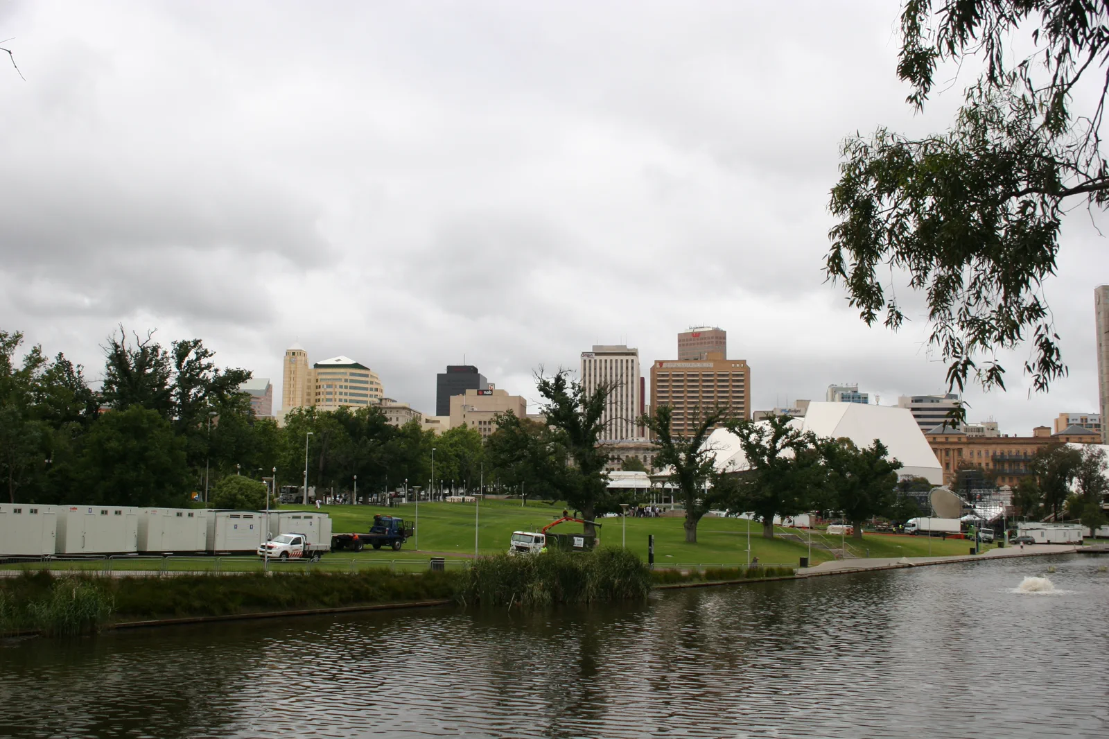
Adelaide, Wine Country & Kangaroo Island
South Australia’s capital works as a compact city base, but the wine regions are separate rural corridors.
Open the regional atlas →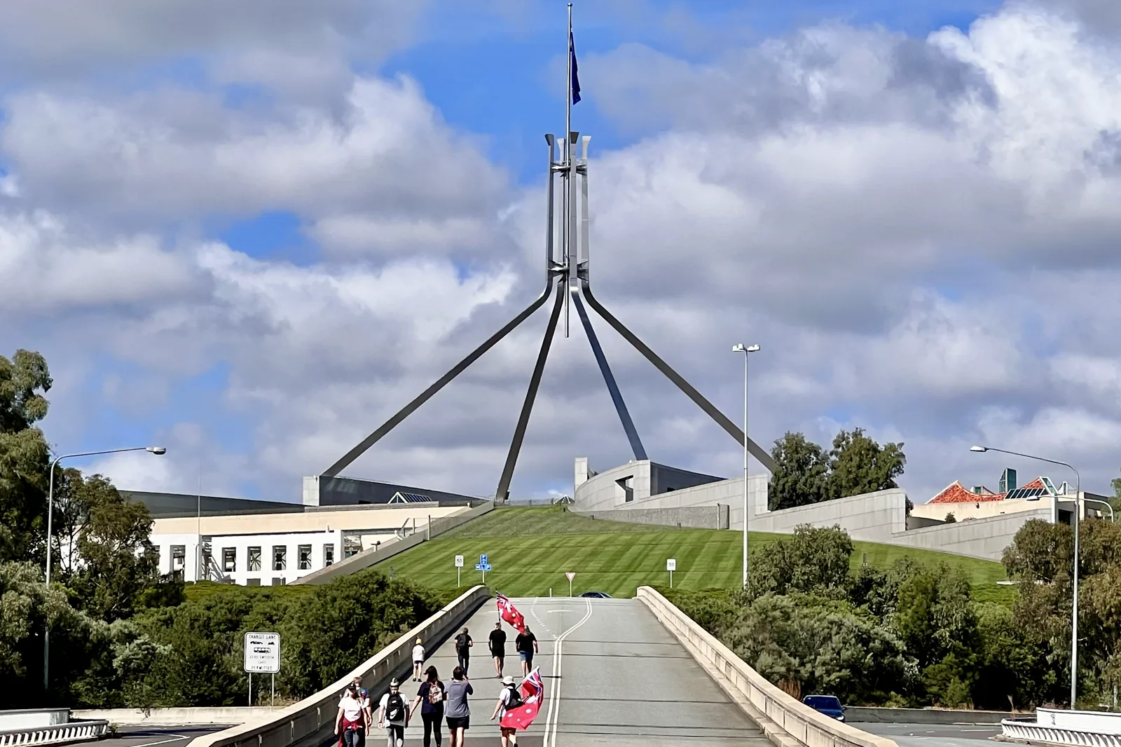
Canberra & Australian Alps
Canberra’s civic districts and the Snowy Mountains are separate operating trips, not one city excursion.
Open the regional atlas →Reef forecast, wet–dry gates and desert distance.
Cairns, the Whitsundays, Darwin and the Red Centre must be separated by operator identity, heat, season, cultural guidance and real flight or road time.
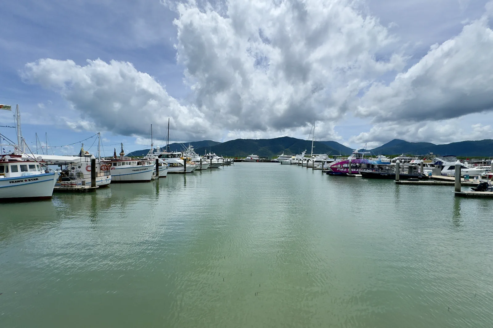
Cairns & Wet Tropics
Cairns is a practical gateway rather than the whole tropical experience.
Open the regional atlas →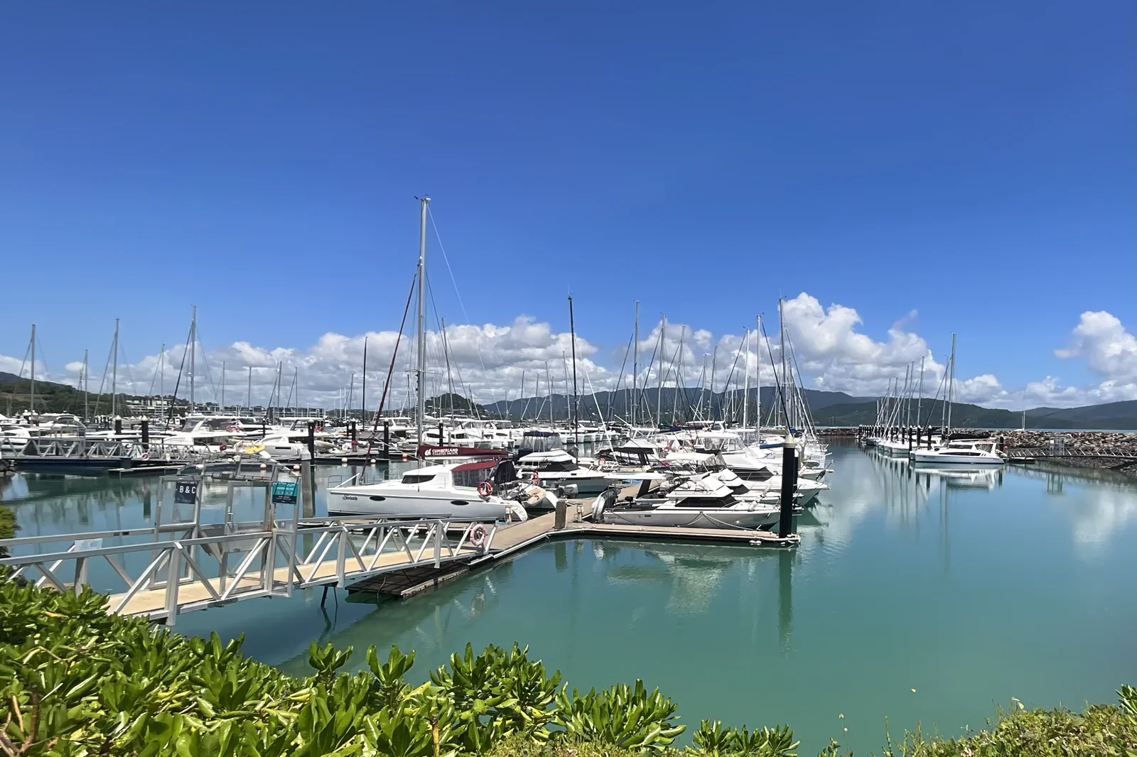
Whitsundays & Great Barrier Reef
Choose the reef day by its departure base and crossing, then choose an island day separately.
Open the regional atlas →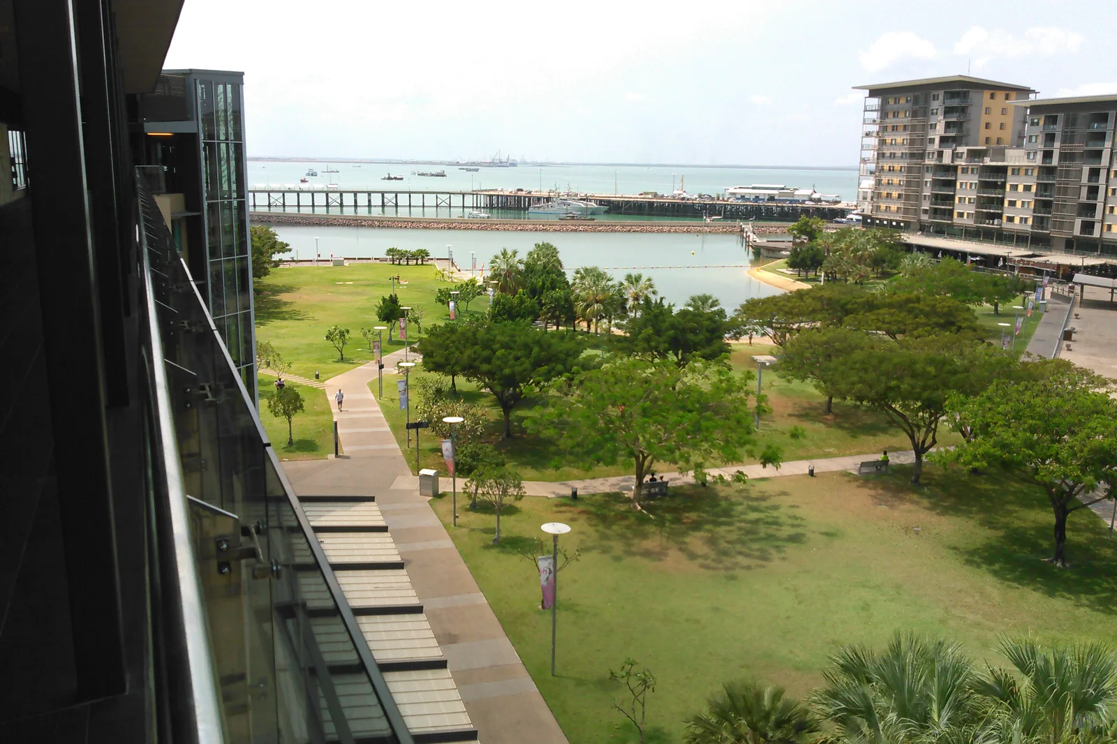
Darwin & the Top End
Choose one Top End operating region around your nights, not a pin for every day.
Open the regional atlas →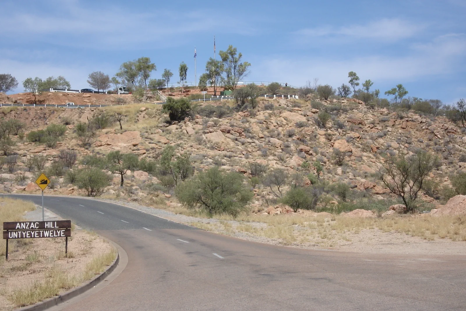
Red Centre
Use Yulara as the park base, Watarrka as a separate road-trip overnight and Mparntwe as the gateway to Tjoritja.
Open the regional atlas →Indian Ocean light, remote road and island weather.
Perth, the Southwest, the Kimberley and Tasmania turn ferry, fire, long-road and park access into the visible itinerary.
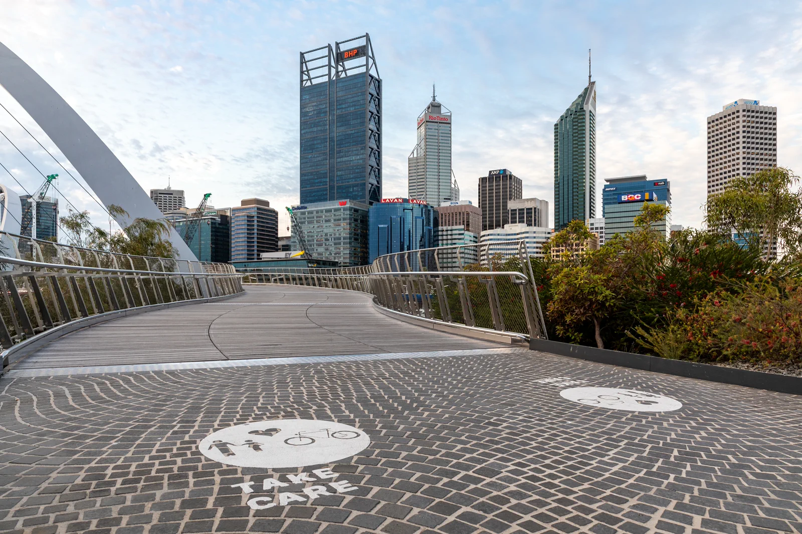
Perth, Fremantle & Rottnest
Perth / Boorloo, Fremantle / Walyalup and Wadjemup / Rottnest sit on one metropolitan map but make different days.
Open the regional atlas →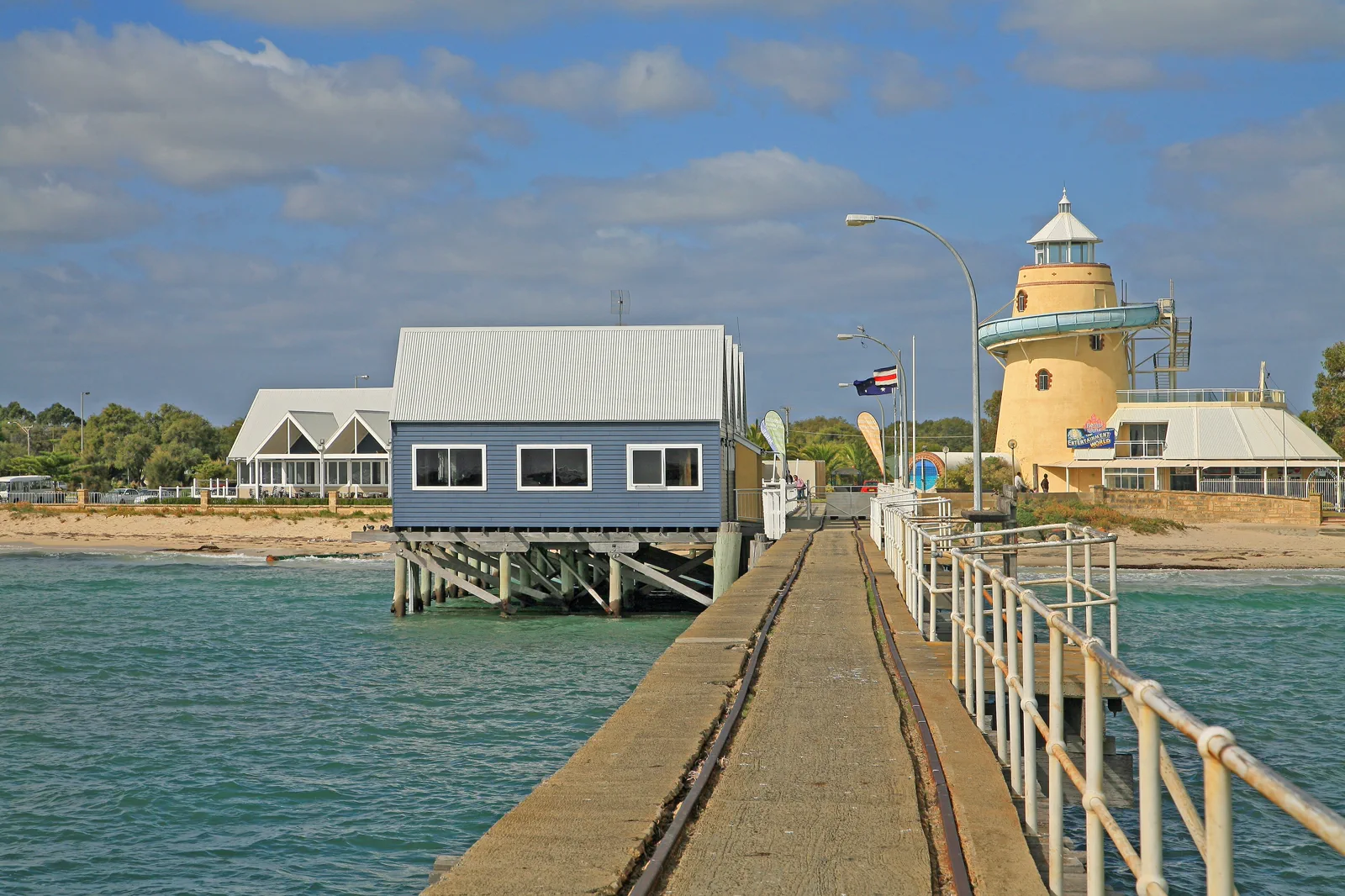
Margaret River & the Southwest
Western Australia’s southwest is a sequence of bases linked by long road legs, not one compact loop.
Open the regional atlas →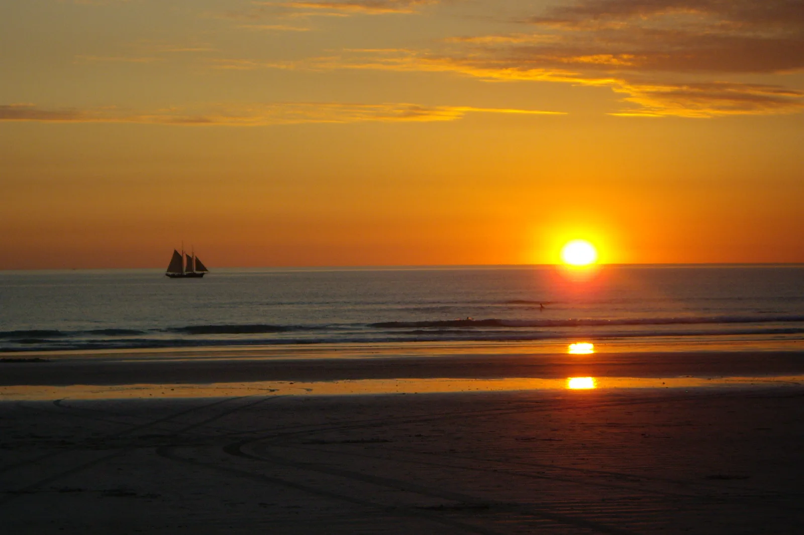
Broome & the Kimberley
Broome / Rubibi is a town-and-coast base; it is not a practical bed for every Kimberley excursion.
Open the regional atlas →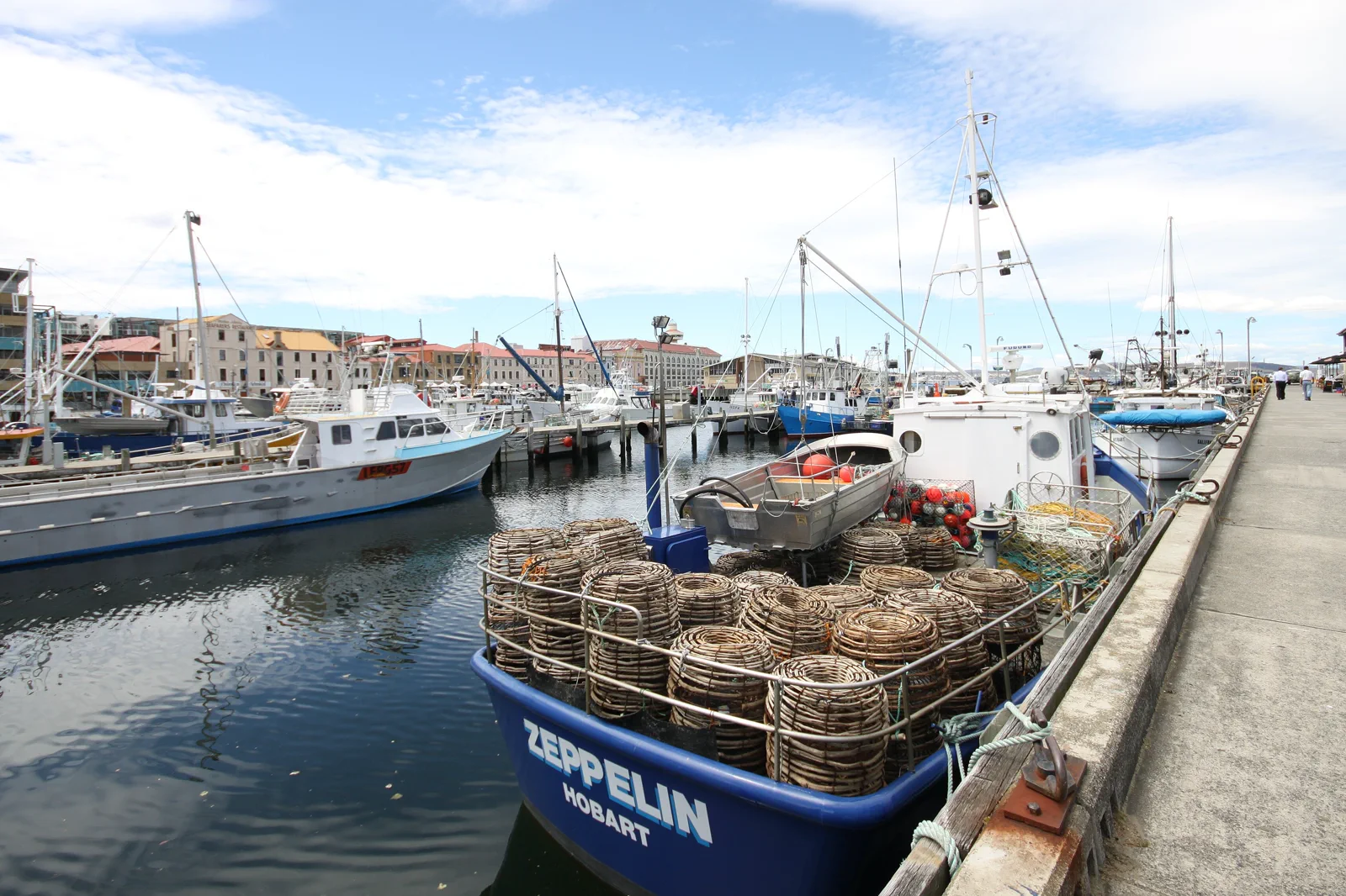
Tasmania
Lutruwita / Tasmania rewards a route drawn around nights and gateways, not a fast-looking island loop.
Open the regional atlas →Choose the vehicle only after the geography.
Exact operators, roads, terminals and seasonal limits must be checked directly. A national-scale line on a map is not a useful transfer.
Bridge the continent
Use domestic flights to protect regional attention. Airport, baggage, car-hire and first-night transfer remain part of the ticket. Leave a separate final-city night when an international connection is not protected on the same booking.
Use networks where they exist
Major cities reward rail, tram, bus and ferry planning. Regional parks often begin where the urban network ends. A city train to a regional town is not automatically a trailhead shuttle or the last return of the day.
Budget the driver
Fuel, wildlife, left-side practice, tyres, fire, flood and fatigue determine whether a road route is responsible. Confirm the named road authority, overnight base and daylight arrival; remove a region when that chain does not fit.
Name the terminal and vessel
Island ferries, reef vessels and harbour services use different terminals, check-ins, sea states and cancellation rules. Confirm the actual departure point, baggage and vehicle terms, weather decision and return before paying.
Choose a route that fits its nights.
These two complete examples state where to sleep and how the long links connect. Use them as a first filter, then confirm flight, road, ferry, activity and return availability for your own dates. Do not buy non-refundable regional nights before the gateway and last mile are confirmed.
Sydney → Melbourne → Cairns → Sydney
Nights 1–4 · Sydney: stay around Central or another verified rail-connected CBD base. Allow arrival day to reach the hotel and recover; use one separate Blue Mountains day only after checking the NSW TrainLink Blue Mountains Line, current service and last useful return. Keep city museums, harbour and rail districts within the other days.
Nights 5–8 · Melbourne: fly SYD–MEL after checking airport, baggage and hotel transfer. Use a central base near the tram / rail grid; plan the city on foot and transit. A Great Ocean Road excursion is a separate full-day operator or self-drive decision, not a quick extension. If that region is the priority, remove Cairns or add nights rather than promising both.
Nights 9–13 · Cairns: fly MEL–CNS and stay in Cairns city near the booked reef operator’s named marina departure. Put the reef crossing on a forecast-led day, keep another Cairns day flexible for weather or cancellation, and book any Kuranda rail / Skyrail combination only after confirming its pickup, station-to-station sequence and return. The reef vessel and the Kuranda services are separate operating chains.
Night 14 · Sydney: fly CNS–SYD and sleep near the airport or a chosen CBD transfer for a separate international departure. A same-day international connection is outside this sample unless it is a protected ticket with the airline and a realistic terminal/baggage transfer. This route trades long driving for three flight days and gives each region a recoverable base.
Best for: a first visit that prioritizes city culture and one reef region. Not for: a road-trip holiday or a promise to see all coastlines. If flights, reef service or return transport are disrupted, stay in the current gateway, use the flexible city day and drop an attraction; do not assume a replacement flight or vessel.
Compare the Sydney and Blue Mountains hub → · Compare Melbourne → · Compare Cairns and the reef →
Melbourne → Geelong → Devonport → Tasmania circuit → Geelong → Melbourne
Nights 1–3 · Melbourne: use a central transit-connected bed. Settle in and confirm the named Geelong terminal transfer and sailing before adding a car or luggage plan.
Night 4 · on the Spirit of Tasmania: travel from the Geelong terminal to Devonport only on the sailing you have booked. Confirm check-in time, terminal access, cabin, baggage and (if bringing a car) exact vehicle dimensions and fare. Do not infer a night sailing or terminal shuttle from a route map.
Night 5 · Devonport: stay near a confirmed arrival transfer and rest before the first regional drive. The ferry terminal is at East Devonport; choose an accommodation and pickup that name the actual terminal, not just “Devonport”.
Nights 6–7 · Cradle Valley: place two nights near the Cradle Mountain Visitor Centre so the park shuttle and a weather-led walk begin locally. Reserve a pass and shuttle; its in-park stops do not provide the Devonport-to-Cradle transfer.
Nights 8–9 · Launceston: use a central city base for the arrival reset, Cataract Gorge and a separately booked Tamar visit. Do not count an urban bus as the wetland or winery last mile.
Nights 10–11 · Coles Bay: stay near Freycinet for a park day and check the trailhead, pass, road and weather before leaving town.
Nights 12–15 · Hobart: use a central base for the city, then choose either kunanyi or a confirmed Port Arthur day on separate, weather-aware plans. Reserve a peninsula night by moving an existing night only if you also preserve the next transfer buffer.
Night 16 · Launceston: this is a deliberate return-to-north buffer before the sailing, not an assumption that Hobart is beside the ferry terminal. Confirm the drive, road status, fuel and next day’s check-in.
Night 17 · on the Spirit of Tasmania; night 18 · Melbourne: book the Devonport–Geelong sailing and a post-arrival Melbourne bed. Resolve the Geelong terminal-to-Melbourne last mile; protect a separate night before any international departure.
Vehicle decision: the ferry can carry a booked vehicle, but a rental agreement may prohibit ferry travel or require prior written approval. Verify it with the named rental company and Spirit before payment. If permission is absent, fly to Hobart or Launceston, rent a Tasmania-only car with an authorized pickup, or omit the island circuit. Foot passenger travel works only with separately confirmed port transfers, regional operators, park shuttles and accommodation pickups end to end.
Weather / closure decision: this circuit needs a spare day or a willingness to remove a region. If a park, road or sailing closes, stay at the booked gateway and contact the operator; choose a city-based day only when it is actually open and reachable. Do not drive around a closure, board an unconfirmed service or squeeze a missed leg into the night.
Open the Tasmania route hub → · Compare the two park gateways → · Plan Hobart →
A route is complete only when the last mile closes.
Before paying for the next bed, draw one continuous chain from arrival platform to overnight base, activity gate and return platform. Record who operates each segment, the booking or service window, luggage rules, cancellation contact and the final return. If any connector is missing, your route ends at the last confirmed base.
Keep an inland or city day at the same gateway, follow the operator’s cancellation terms and use the first confirmed replacement sailing. Do not substitute a different vessel, private dock or unverified crossing.
Follow the named authority’s notice, remain at a legal overnight base and contact the booked provider. Use another route only when the authority confirms it open; an alternative map line is not permission.
Confirm the exact pickup, destination, date and last return with the operator before booking the activity. If the service does not close the loop, choose a central-day plan or a licensed transfer that you have confirmed.
Use a separate gateway night when baggage, airport distance or an onward international ticket leaves no dependable connection. Do not rely on a same-day arrival buffer that the airline or operator has not accepted.
Australia does not share one best season.
Wet–dry access, cyclone, flood, heat, crocodile and marine-stinger guidance govern the route.
Cold fronts, wind, fire, alpine change and daylight can replace one another quickly.
Extreme heat, water, remote road, communications and cultural closure come before distance.
Swell, tide, ferry, marine park, wildlife and the safe return define every water day.
Australia FAQ
What can a 14-night first Australia trip realistically cover?
Use four nights in Sydney, four in Melbourne, five in Cairns and one final Sydney night. Fly between cities, solve each airport transfer, and keep the reef day and any weather buffer inside the Cairns stay. This is a sample to price and confirm against actual flights, not a fixed timetable.
How do I include Tasmania without losing the mainland connection?
A broader 18-night example gives Melbourne three nights, one booked Spirit of Tasmania crossing each way, and separate gateway beds for Devonport, Cradle Valley, Launceston, Coles Bay and Hobart before a final Melbourne night. Confirm the sailing, terminal transfer, vehicle contract and all lodging before treating the sequence as connected.
Should I drive across Australia in a two-week trip?
No national cross-country drive is implied by these short sample routes. Fly between operating regions or choose one road region; only add a road leg after checking the named route, services, daylight, closures and driver recovery. If the distance or final mile is unknown, remove that leg.
How should First Nations place names be used?
Use the form preferred by the relevant Traditional Owners or managing authority, keep dual names when appropriate and follow current cultural access and photography guidance.
Official sources and photo credits
Country planning and image licenses were reviewed on 13 October 2026. Immigration, transport, weather, park, cultural, marine and operator rules change; verify directly before travel.
- Tourism Australia — destinations, states and territories.
- Tourism Australia — getting around and continental distances.
- Tourism Australia — Tasmania flight gateways, Geelong–Devonport ferry and regional travel.
- Spirit of Tasmania — current terminals, sailings, check-in and vehicle conditions.
- Transport for NSW — regional train routes and current journey planning.
- Parks and Wildlife Service Tasmania — current park, track and visitor-site alerts.
- Australian Department of Home Affairs — visa finder.
- Australian Bureau of Meteorology — national weather and warnings.
- Parks Australia — Commonwealth national parks.
- Photo of the Sydney Harbour Bridge from Circular Quay.jpg — JCL888, CC BY-SA 4.0. Resized, display-cropped and converted to WebP; no other material edits.
- Three Sisters, Blue Mountains (1).jpg — Alicia Brogan ( Ali b at English Wikipedia ), CC BY-SA 3.0. Resized, display-cropped and converted to WebP; no other material edits.
- Melbourne CBD 2008.jpg — Bidgee, CC BY 3.0. Resized, display-cropped and converted to WebP; no other material edits.
- Bells Beach, Australia (Unsplash).jpg — Samantha Lynch samjaynee, CC0. Resized, display-cropped and converted to WebP; no other material edits.
- Brisbane River and skyline from South Bank Brisbane IMGP6207.jpg — John Robert McPherson, CC BY-SA 4.0. Resized, display-cropped and converted to WebP; no other material edits.
- Surfers Paradise Beach with skyline.jpg — Bernard Spragg. NZ from Christchurch, New Zealand, CC0. Resized, display-cropped and converted to WebP; no other material edits.
- Cairns Marlin Marina, 2025.jpg — Chris Olszewski, CC BY-SA 4.0. Resized, display-cropped and converted to WebP; no other material edits.
- Coral Sea Marina, Airlie Beach.jpg — Richard N Horne, CC BY 4.0. Resized, display-cropped and converted to WebP; no other material edits.
- View of the Waterfront in Darwin, Northern Territory, Australia.jpg — Lance Vanlewen, CC BY-SA 4.0. Resized, display-cropped and converted to WebP; no other material edits.
- Australia - Alice Springs - ANZAC Hill.jpg — Genet ( Diskussion ), CC BY-SA 4.0. Resized, display-cropped and converted to WebP; no other material edits.
- Perth (AU), Elizabeth Quay Bridge -- 2019 -- 0252.jpg — Dietmar Rabich, CC BY-SA 4.0. Resized, display-cropped and converted to WebP; no other material edits.
- 00 1701 Busselton Jetty - Western Australia.jpg — W. Bulach, CC BY-SA 4.0. Resized, display-cropped and converted to WebP; no other material edits.
- Cable Beach, Broome, Western Australia (7070613571).jpg — Travel & Shit from Brighton, UK, CC BY-SA 2.0. Resized, display-cropped and converted to WebP; no other material edits.
- Elder Park, the River Torrens and Adelaide skyline.jpg — Beau Giles, CC BY 2.0. Resized, display-cropped and converted to WebP; no other material edits.
- Hobart waterfront Nov 2011 - 2.jpg — Tony 1212, CC BY 4.0. Resized, display-cropped and converted to WebP; no other material edits.
- Exterior of Parliament House, Canberra, 2022, 01.jpg — Kgbo, CC BY-SA 4.0. Resized, display-cropped and converted to WebP; no other material edits.