Red Centre Give Uluṟu–Kata Tjuṯa, Watarrka, Tjoritja and Mparntwe separate bases; let Country, distance and heat set the order.
Use Yulara as the park base, Watarrka as a separate road-trip overnight and Mparntwe as the gateway to Tjoritja. These are not interchangeable day trips: Uluṟu and Kata Tjuṯa have long exposed walks and their own access conditions, while fuel, daylight and road closures govern every remote leg. Begin with Aṉangu or Arrernte visitor guidance, then build each day around the current park and road information.
Choose the road before choosing the vehicle. A standard 2WD route to Watarrka follows the sealed Stuart Highway, then the Lasseter Highway and Luritja Road via Erldunda; the Mereenie Loop via Larapinta Drive is a separate unsealed 4WD choice with a required pass. Tourism NT lists no fuel facilities on that loop, so refuel before entering it and check road status and fuel availability before leaving a base. Keep Mparntwe/Tjoritja, separate Uluṟu and Kata Tjuṯa days from Yulara, and a Watarrka canyon night as distinct blocks; do not trade the last daylight for a long post-walk transfer.
- Useful stay
- If both Uluṟu and Kata Tjuṯa are priorities, reserve at least two full days from Yulara and give each its own weather window.
- Transfer logic
- Flights serve Alice Springs and Yulara, but air arrival does not shorten the long road legs between the park, Watarrka and…
Choose the operating system, then the place.
Every card opens a full route with transport, access, weak points, official sources and visible image provenance.
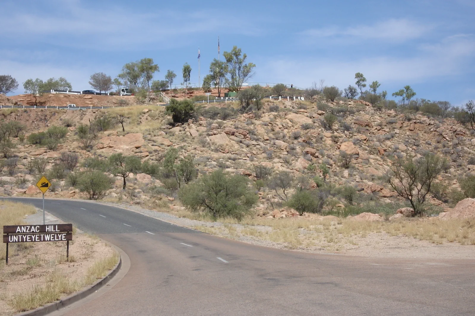
Mparntwe / Alice Springs
Make Alice Springs (Mparntwe) more than a fuel stop: pair the 1872 Telegraph Station precinct with the Desert Park's three habitats, then prepare for a separate day in Tjoritja.
Open the field guide →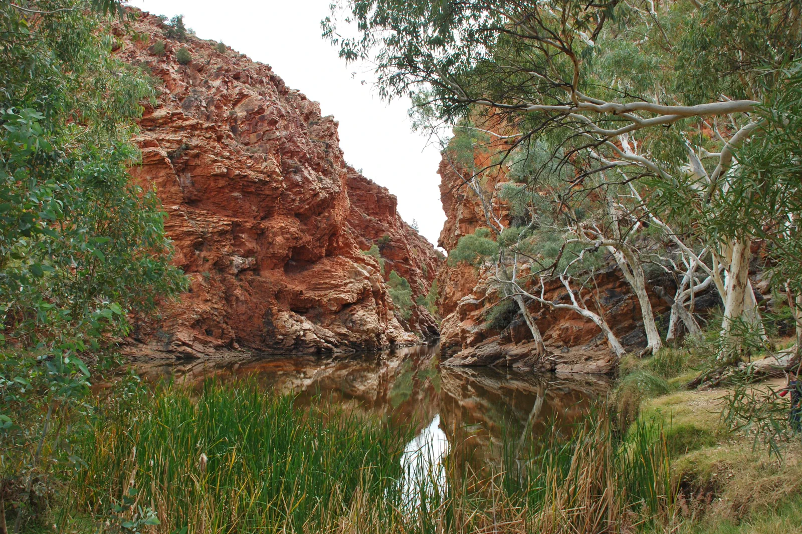
Tjoritja / West MacDonnell Ranges
Choose a near-town gorge or a full westward drive: Simpsons Gap is 20 minutes from Alice Springs, while Ormiston Gorge is 135 km away.
Open the field guide →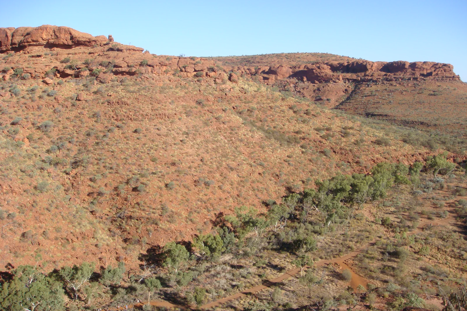
Watarrka / Kings Canyon
Stay near Watarrka and let the 36°C start limits choose between the six-kilometre Rim Walk and three shorter routes.
Open the field guide →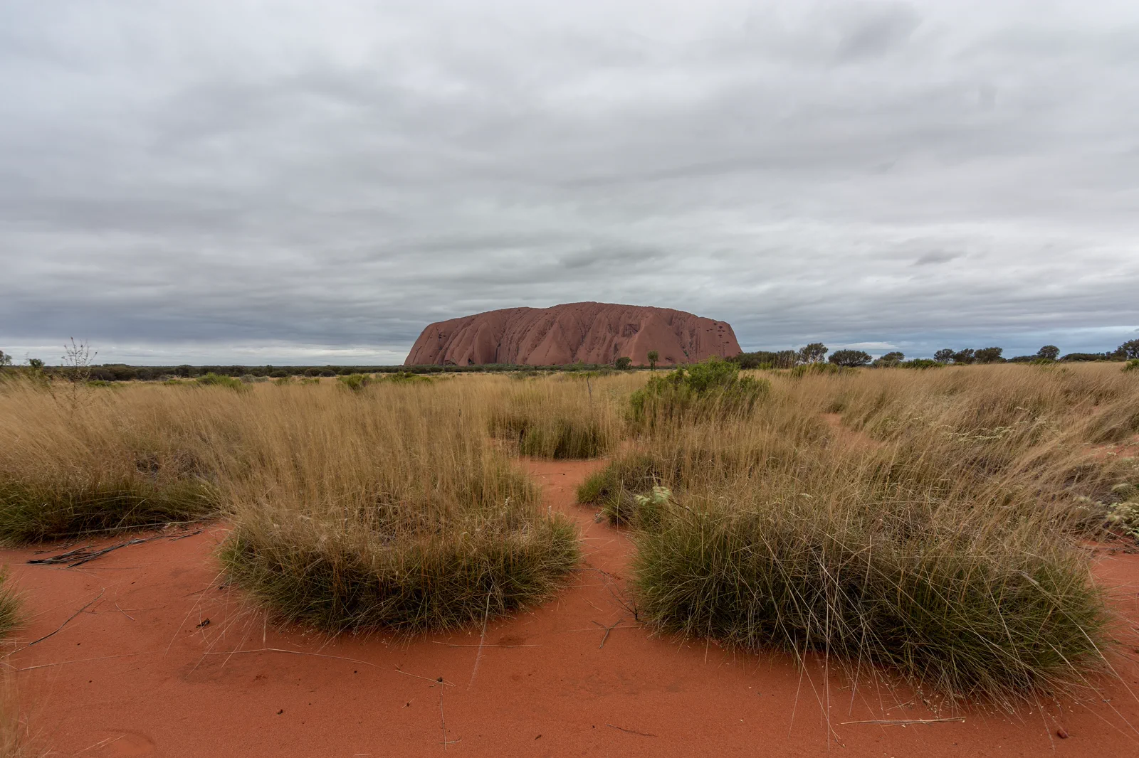
Uluṟu Cultural Landscape
Uluṟu is more than a red landmark: Aṉangu have cared for this living Country for generations, and the park is jointly managed with the Australian Government. Begin with the Cultural Centre, then read the exposed sandstone and water-shaped shade around Muṯitjulu Waterhole.
Open the field guide →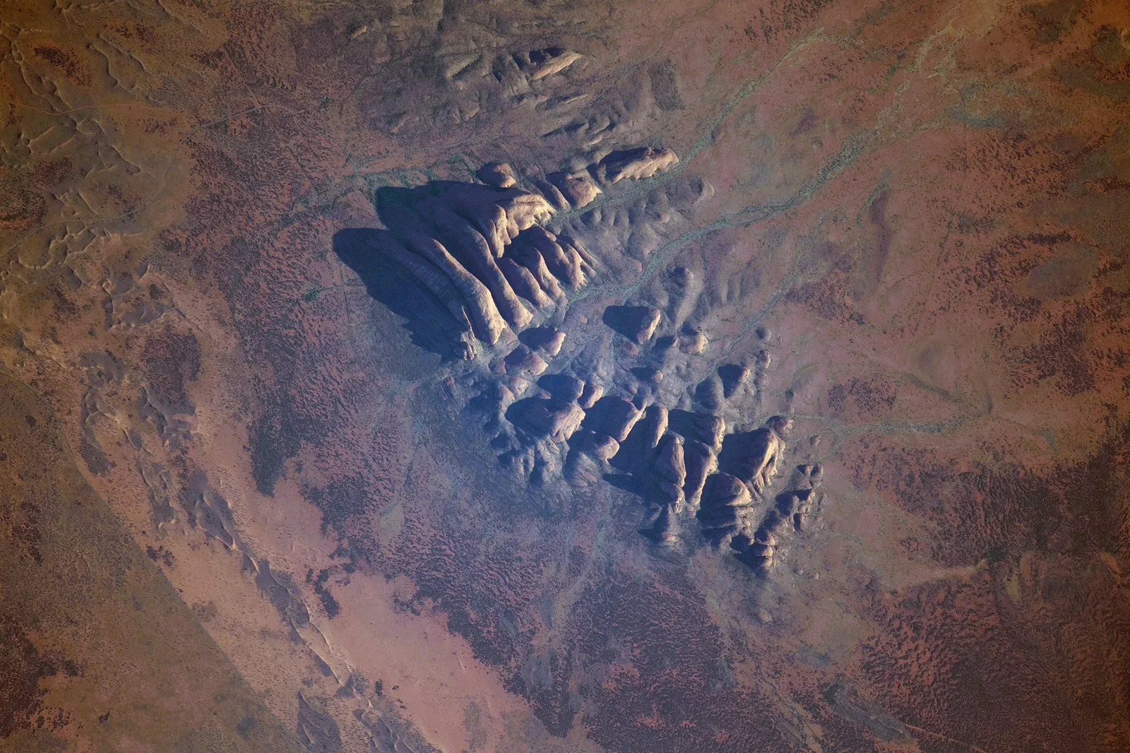
Kata Tjuṯa
Waḻpa Gorge is a one-hour return walk; the Valley of the Winds is a steep, 7.4 km loop with a heat cutoff and its own Aṉangu photography rules.
Open the field guide →Distance is part of the content.
Australia punishes invisible transfer time. These five contracts keep the route honest.
Sleep near the first decision.
If both Uluṟu and Kata Tjuṯa are priorities, reserve at least two full days from Yulara and give each its own weather window. Keep the Kings Canyon Rim Walk beside a Watarrka overnight; use Mparntwe for town services and a separate Tjoritja day. Moving bases is part of the itinerary, not spare time.
Name the road, rail, ferry or operator.
Flights serve Alice Springs and Yulara, but air arrival does not shorten the long road legs between the park, Watarrka and Tjoritja. Confirm vehicle suitability, fuel, communications and road notices before each departure; plan daylight and recovery rather than a night return.
Permission and guidance come first.
Use recognised Traditional Owner language and visitor guidance. Do not infer access to cultural places, communities or Country from an online pin.
One national forecast is not enough.
Check the local fire, flood, surf, marine, alpine, heat or cyclone condition that actually governs the selected chapter.
Protect the last safe movement.
Every field guide declares a return, turnaround or overnight before adding optional distance.
Do not clear the map in one day.
Mparntwe / Alice Springs
Give the Telegraph precinct and Desert Park separate blocks, allowing for their different locations and…
Field 02Tjoritja / West MacDonnell Ranges
For a short outing, choose Simpsons Gap and one of its named walks.
Field 03Watarrka / Kings Canyon
Sleep near the park, check the Watarrka forecast and walk status at first light, then choose one route.
Field 04Uluṟu Cultural Landscape
For a half-day from Yulara, use the cool morning for the designated Talinguṟu Nyakunytjaku sunrise…
Field 05Kata Tjuṯa
Decide between Waḻpa and the Valley before leaving Yulara, then check the forecast and access status.
Red Centre FAQ
How many days should I give the Red Centre?
Use at least two full days from Yulara if you want both Uluṟu and Kata Tjuṯa. Add separate nights for Watarrka and Mparntwe when those chapters are in the route; do not turn the drive between them into an evening transfer.
Can I drive from Uluṟu to Watarrka and return after one walk?
Keep those chapters on different days with an overnight near Watarrka. The long road leg plus an exposed canyon walk leaves too little daylight and recovery margin for a safe return.
What should I recheck before leaving a base?
Check current park and cultural closures, heat or wind advice, road conditions, fuel, water, communications and the vehicle requirements for the actual route.
Official sources and photo credits
Planning facts and image licenses were reviewed on 15 October 2026. Recheck transport, park, fire, weather, marine and operator conditions before travel.
- Tourism Australia — Alice Springs.
- Tourism NT — Alice Springs and surrounds.
- Northern Territory Parks — Tjoritja / West MacDonnell.
- Northern Territory Parks — Watarrka.
- Tourism NT — Mereenie Loop fuel and permit notes.
- Road Report NT — live road conditions.
- Parks Australia — Uluṟu–Kata Tjuṯa National Park.
- Australia - Alice Springs - ANZAC Hill.jpg — Genet ( Diskussion ), CC BY-SA 4.0. Resized, display-cropped and converted to WebP; no other material edits.
- Ellery Creek Big Hole - West Macdonnell Ranges NT.jpg — Iambexta, CC BY-SA 4.0. Resized, display-cropped and converted to WebP; no other material edits.
- Lascar View of Kings Canyon from one of its walls (Rim Walk) - Trees on the gorge, over 100m below (4563003708).jpg — Jorge Láscar from Australia, CC BY 2.0. Resized, display-cropped and converted to WebP; no other material edits.
- Uluru, Northern Territory.jpg — Philip Muir, CC BY-SA 4.0. Resized, display-cropped and converted to WebP; no other material edits.
- ISS-65 Kata Tjuta, Northern Territory.jpg — NASA, Public domain. Resized, display-cropped and converted to WebP; no other material edits.