Mparntwe / Alice Springs town, interpretation and preparation.
Make Alice Springs (Mparntwe) more than a fuel stop: pair the 1872 Telegraph Station precinct with the Desert Park's three habitats, then prepare for a separate day in Tjoritja.
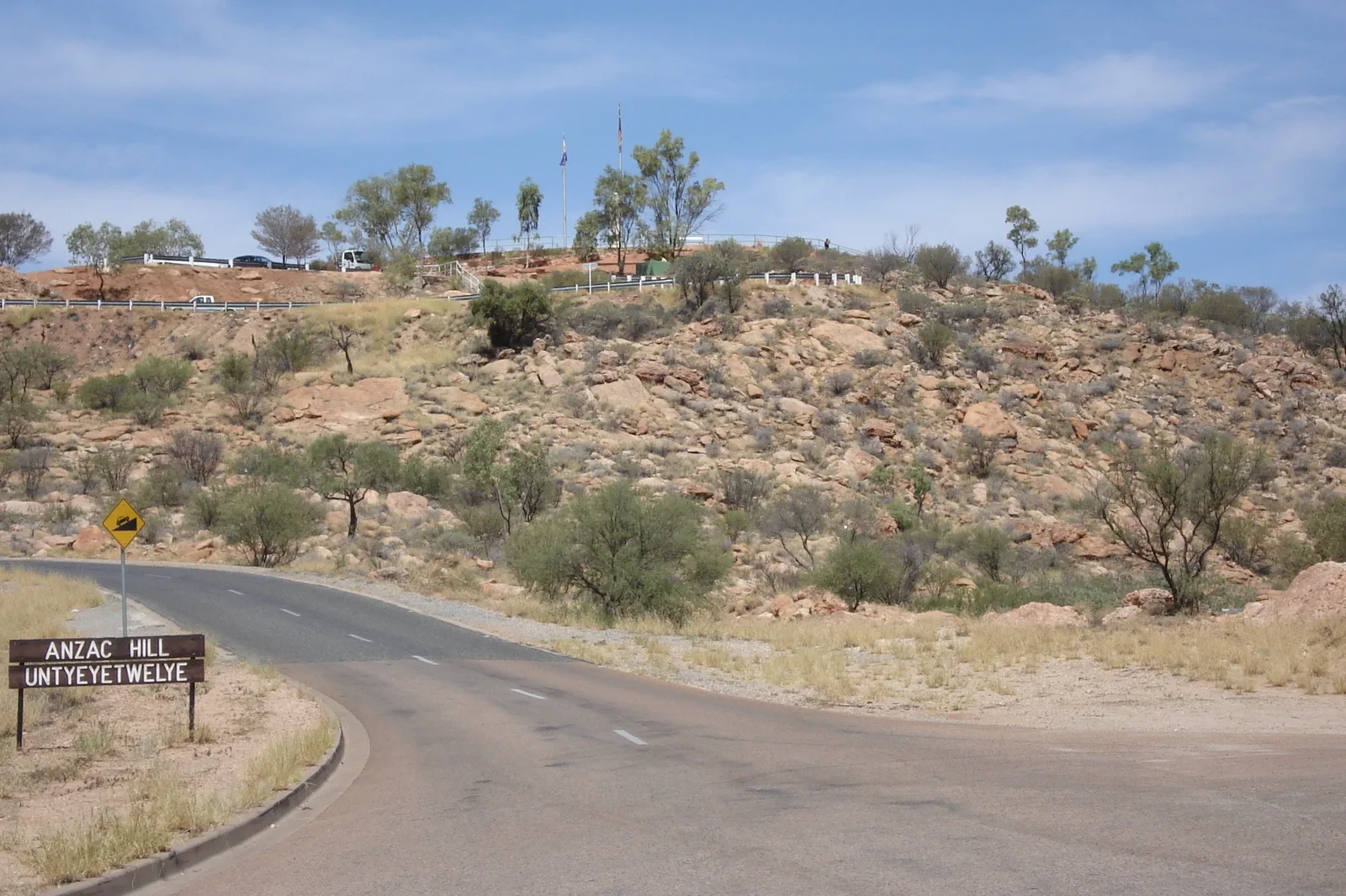
Four kilometres north of town, this is the best-preserved station on the Overland Telegraph Line. The short precinct visit is distinct from Larapinta Section 1: the walk to Simpsons Gap is 24.7 km, Grade 4 and about nine hours.
At 7 km west on Larapinta Drive, the park links sand country, desert river and woodland with public interpretation, a birds-of-prey Nature Theatre and a Nocturnal House. Last entry is 4:30 pm; verify the current presentation timetable.
Allow two nights before a regional loop when arrival, interpretation and vehicle preparation all matter. A town night gives you a separate daylight window for Tjoritja instead of turning the first park visit into an airport transfer.
Read the town in two different ways
Mparntwe is the Arrernte name for Alice Springs. The Telegraph Station preserves a dated Overland Telegraph chapter and begins Larapinta Section 1; 7 km west, the Desert Park moves through sand country, desert river and woodland. These are two distinct introductions to the region, not interchangeable photo stops.
Plan an Alice Springs town day
Set a town day
Leave a recovery and resupply block after arrival; keep the remote drive out of the same day as a long walk.
Visit the Telegraph precinct
Four kilometres north, the station interprets the 1872 Overland Telegraph. Check the historic precinct hours; Larapinta Section 1 begins here.
Choose the Desert Park lens
Seven kilometres west, walk through sand country, desert river and woodland. Check the Nature Theatre and cultural presentation schedule, or reserve the one-hour foothills tour.
Prepare the next leg
Confirm vehicle, fuel, water, park pass, communications and live road conditions before leaving town.
Three reasons to change the plan.
Heat and timing
Avoid strenuous outdoor activity in the heat of the day; both sites publish current hours and access notices.
Trail status
Flood damage can affect paths at the Telegraph Reserve. Check the live status instead of assuming every short route is open.
Remote-road gap
Town services do not continue along every outback road. Leave with the required fuel, water, vehicle plan and offline directions.
Access is never implied by proximity.
Mparntwe is Arrernte Country. Use public interpretation and names preferred by Traditional Owners; remain on marked tracks, and do not publish restricted places or stories.
Four related field chapters.
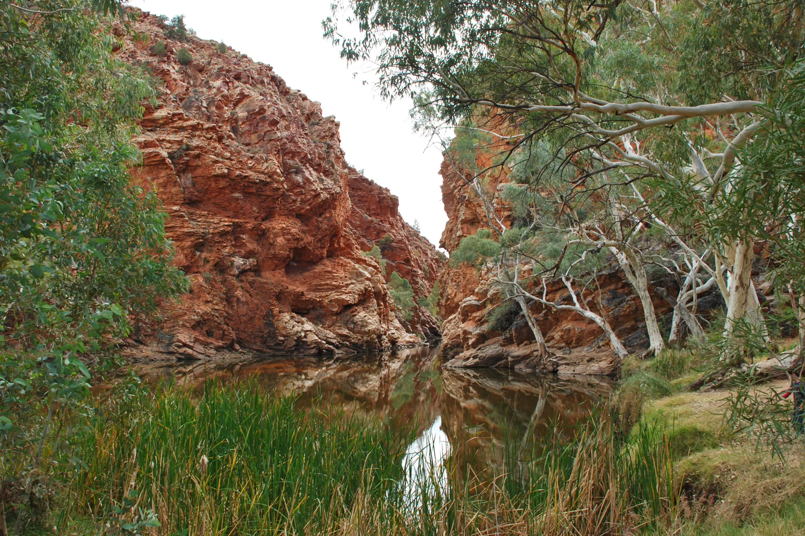
Tjoritja / West MacDonnell Ranges
Choose a near-town gorge or a full westward drive: Simpsons Gap is 20 minutes from Alice Springs, while…
Open the field guide →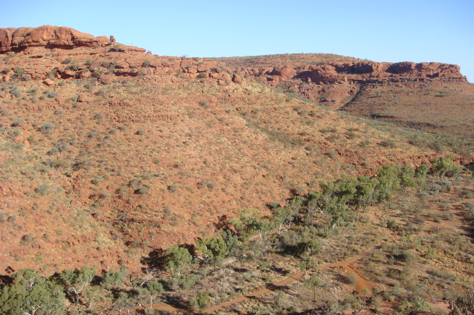
Watarrka / Kings Canyon
Stay near Watarrka and let the 36°C start limits choose between the six-kilometre Rim Walk and three shorter…
Open the field guide →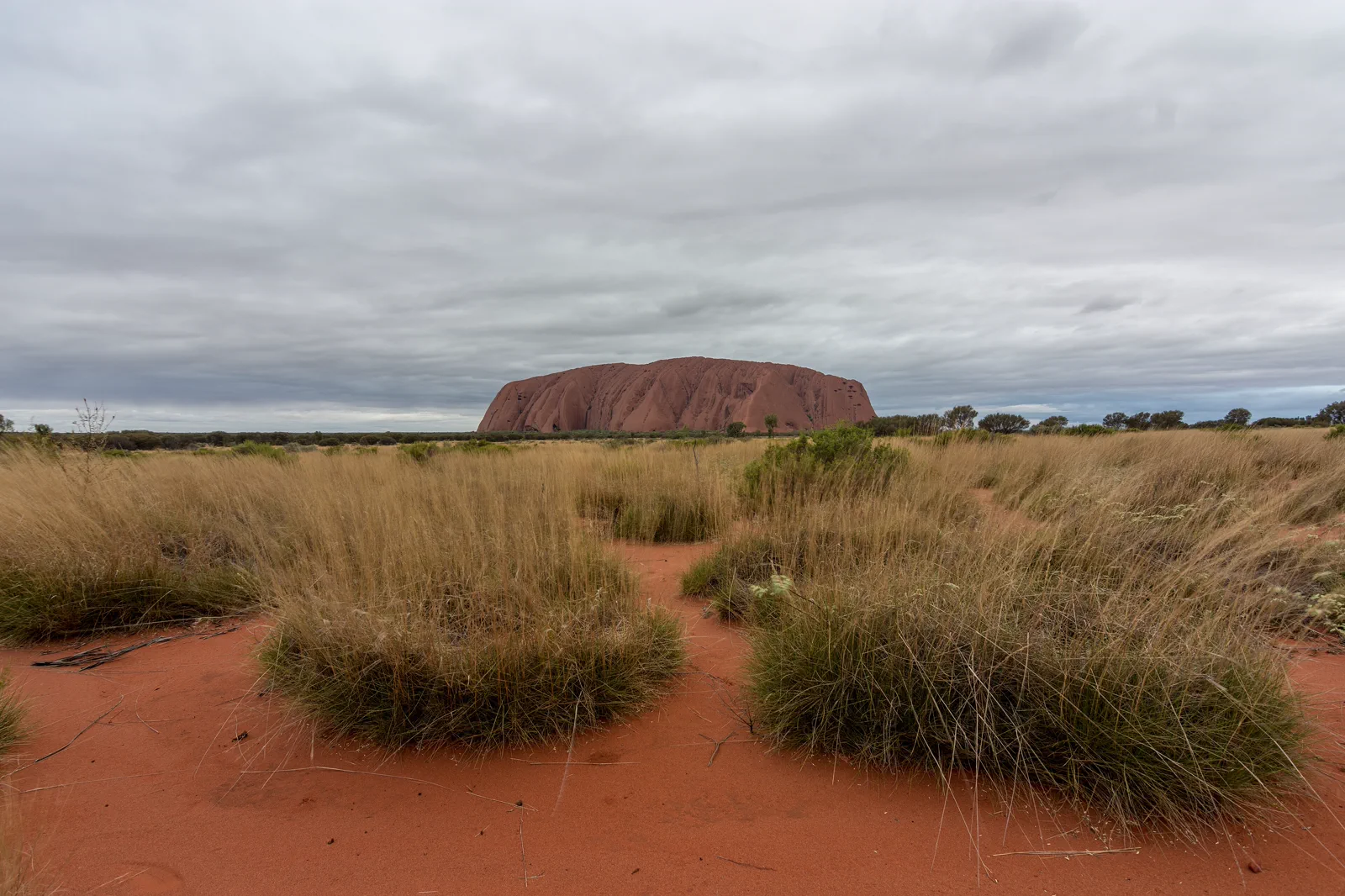
Uluṟu Cultural Landscape
Uluṟu is more than a red landmark: Aṉangu have cared for this living Country for generations, and the park is…
Open the field guide →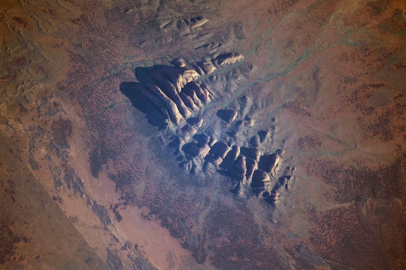
Kata Tjuṯa
Waḻpa Gorge is a one-hour return walk; the Valley of the Winds is a steep, 7.4 km loop with a heat cutoff and…
Open the field guide →Mparntwe / Alice Springs FAQ
Is Larapinta Section 1 a short walk from the Telegraph Station?
No. It runs 24.7 km to Simpsons Gap, is Grade 4 and takes about nine hours. Use one of the reserve short walks unless you have planned the full section as a hike.
Can I fit the Desert Park into a late afternoon?
Plan around last entry at 4:30 pm. The park is 7 km west of town and includes three habitat areas, scheduled presentations and a one-hour foothills tour; check the live timetable before choosing a short visit.
How long should I stay in Alice Springs before driving west?
Two nights leave room to recover, visit one or both interpretive sites and set up the next day with fuel, water, road information and a realistic departure time.
Official sources and photo credits
Planning facts and image licenses were reviewed on 4 October 2026. Access, weather, transport, fire, marine and operator conditions change; verify directly before travel.
- Australian Government Department of Education — Alice Springs (Mparntwe) Education Declaration.
- Northern Territory Parks — Alice Springs Telegraph Station.
- Northern Territory Parks — Alice Springs Desert Park.
- Northern Territory Parks — Larapinta Trail sections.
- Australia - Alice Springs - ANZAC Hill.jpg — Genet ( Diskussion ), CC BY-SA 4.0. Resized, display-cropped and converted to WebP; no other material edits.
- Ellery Creek Big Hole - West Macdonnell Ranges NT.jpg — Iambexta, CC BY-SA 4.0. Resized, display-cropped and converted to WebP; no other material edits.
- Lascar View of Kings Canyon from one of its walls (Rim Walk) - Trees on the gorge, over 100m below (4563003708).jpg — Jorge Láscar from Australia, CC BY 2.0. Resized, display-cropped and converted to WebP; no other material edits.
- Uluru, Northern Territory.jpg — Philip Muir, CC BY-SA 4.0. Resized, display-cropped and converted to WebP; no other material edits.
- ISS-65 Kata Tjuta, Northern Territory.jpg — NASA, Public domain. Resized, display-cropped and converted to WebP; no other material edits.