Watarrka / Kings Canyon canyon rim and heat gate.
Stay near Watarrka and let the 36°C start limits choose between the six-kilometre Rim Walk and three shorter routes.
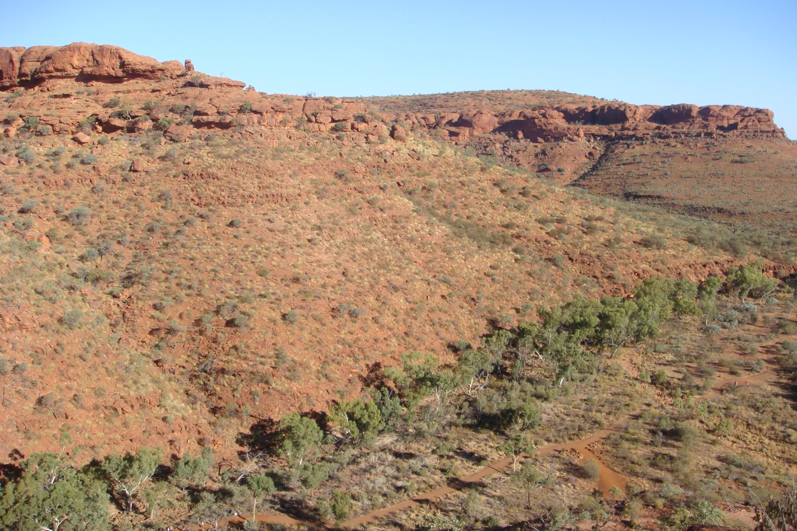
Grade 4, 3–4 hours, clockwise, with a difficult initial climb. The halfway Garden of Eden is a rockhole among rare plants and swimming is not allowed. At a forecast of 36°C or above, start before 9 am.
Grade 3, about two hours, with a steep climb to the south wall. At 36°C or above, start before 11 am. This route ends at a one-way gate and does not reach the Garden of Eden or the rest of the rim.
Kings Creek is 2.6 km return, about one hour, Grade 2. Kathleen Springs is 2.4 km return, about 1.5 hours, Grade 1, sealed and wheelchair accessible; it lies 21 km by road from the canyon. Do not swim at its culturally significant waterhole.
A rim walk is one of four different walks
Kings Canyon’s red walls rise about 100 m above Kings Creek to a plateau of rocky domes. The Rim Walk reaches that exposed rim after a difficult climb; the South Wall stops before the Garden of Eden, Kings Creek stays below the rim, and Kathleen Springs follows a paved, accessible path to a significant waterhole.
Choose a Watarrka walk by its heat cutoff
Base beside the park
Book the nearby resort or station: overnight camping is not permitted inside Watarrka National Park.
Apply the heat gate
Check the Watarrka forecast before sunrise. At 36°C or above, Rim Walk entry ends at 9 am and South Wall entry at 11 am.
Choose one track
Use the clockwise rim for the full canyon, South Wall for its separate return, Kings Creek for a shorter walk or Kathleen Springs for paved accessible access.
Recover before the drive
Carry water, rest after the walk and set the next road leg in daylight. If using Mereenie, confirm 4WD suitability and the current permit.
Three reasons to change the plan.
Heat cutoff
At 36°C or above, the Rim and South Wall start deadlines are mandatory. A later start means choosing another walk.
Exposed rim and steep ascent
The Rim Walk begins with a difficult climb and follows cliff edges. Follow the clockwise arrows, stairs and boardwalks; do not approach edges.
Route mistaken for access
A 2WD can use the sealed highway route. The Mereenie route is unsealed, needs a permit and is recommended for 4WD; check road status before committing.
Access is never implied by proximity.
Watarrka is culturally significant Luritja and Arrernte Country. Keep to marked paths and boardwalks, stay back from cliff edges, do not swim at Kathleen Springs and respect closures and public cultural guidance.
Four related field chapters.
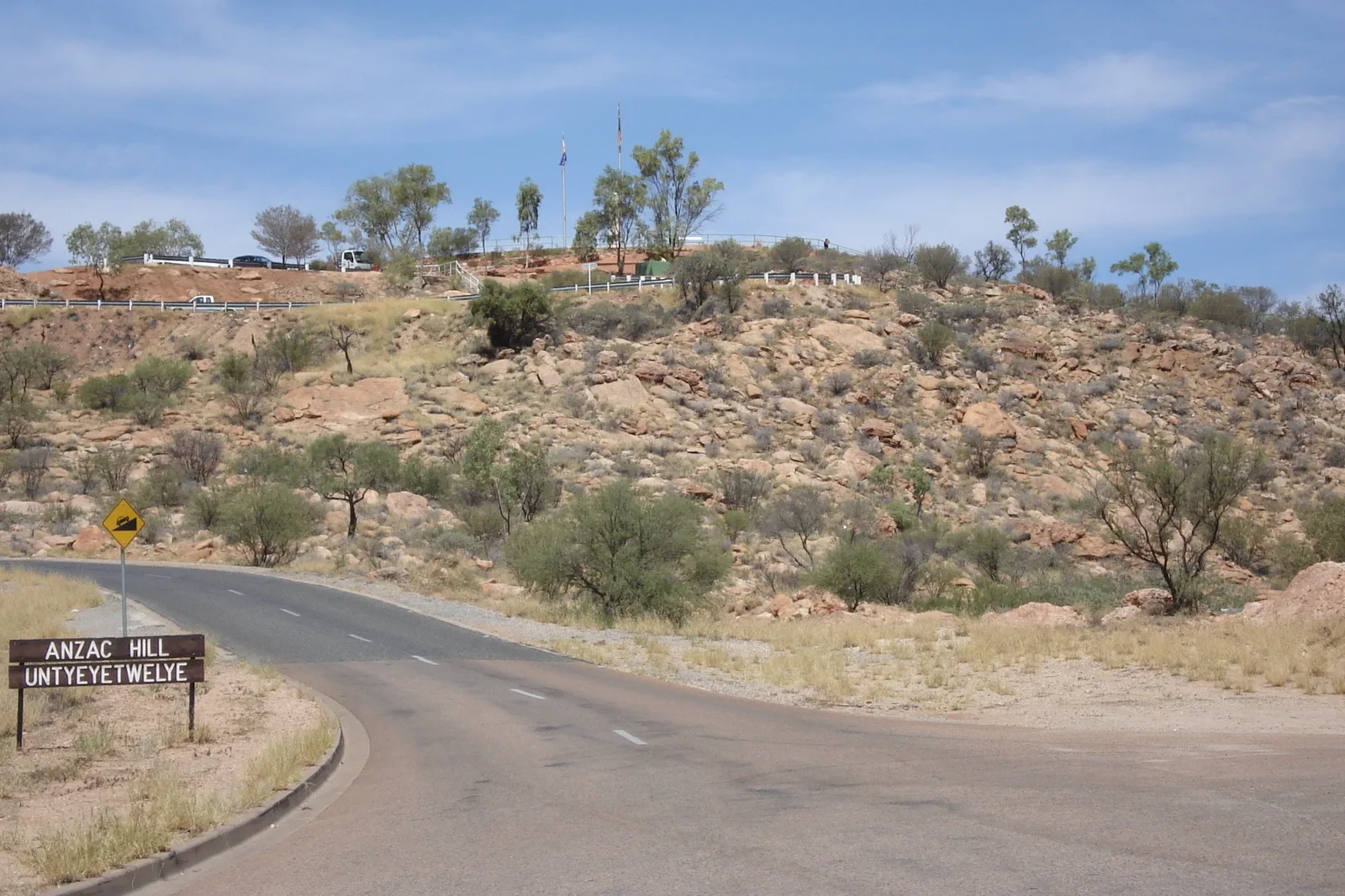
Mparntwe / Alice Springs
Make Alice Springs (Mparntwe) more than a fuel stop: pair the 1872 Telegraph Station precinct with the Desert…
Open the field guide →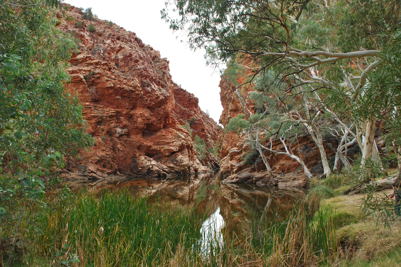
Tjoritja / West MacDonnell Ranges
Choose a near-town gorge or a full westward drive: Simpsons Gap is 20 minutes from Alice Springs, while…
Open the field guide →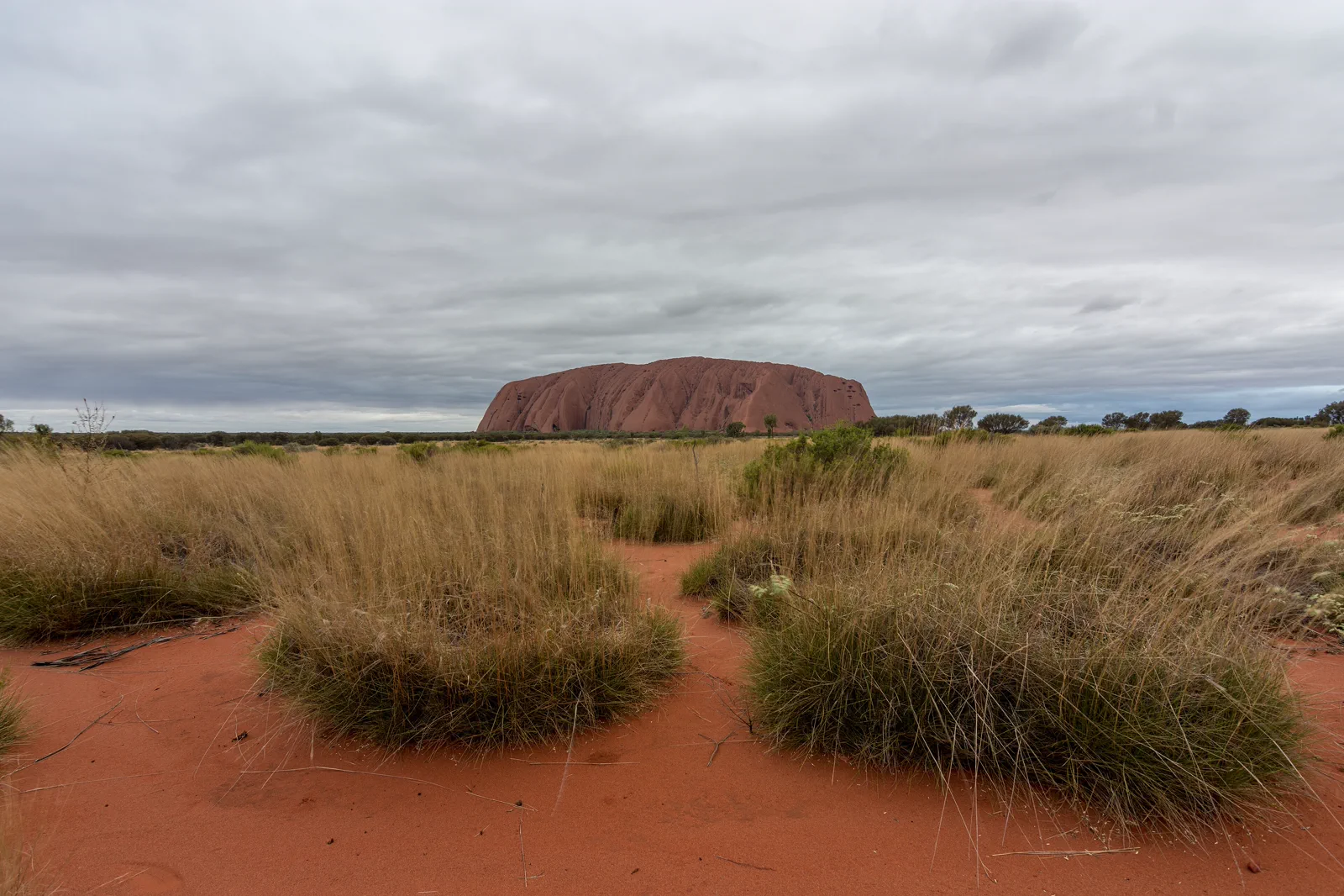
Uluṟu Cultural Landscape
Uluṟu is more than a red landmark: Aṉangu have cared for this living Country for generations, and the park is…
Open the field guide →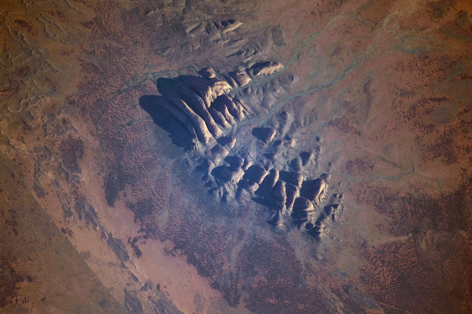
Kata Tjuṯa
Waḻpa Gorge is a one-hour return walk; the Valley of the Winds is a steep, 7.4 km loop with a heat cutoff and…
Open the field guide →Watarrka / Kings Canyon FAQ
Can South Wall Return be joined to the Rim Walk?
No. South Wall Return uses its own out-and-back path to a one-way gate; it does not access the Garden of Eden or the rest of the rim.
Can I reach Watarrka in a 2WD?
The sealed Stuart and Lasseter highways and Luritja Road are suitable for 2WD. The Red Centre Way / Mereenie Loop is unsealed, requires a permit and is recommended for 4WD; check current road advice.
Is Kathleen Springs a swimming stop?
No. The 2.4 km paved Grade 1 return path reaches a waterhole significant to local Aboriginal people and important to wildlife; swimming is prohibited.
Official sources and photo credits
Planning facts and image licenses were reviewed on 4 October 2026. Access, weather, transport, fire, marine and operator conditions change; verify directly before travel.
- Northern Territory Parks — Watarrka National Park.
- Northern Territory Parks — Watarrka short walks.
- Northern Territory Road Report.
- Australia - Alice Springs - ANZAC Hill.jpg — Genet ( Diskussion ), CC BY-SA 4.0. Resized, display-cropped and converted to WebP; no other material edits.
- Ellery Creek Big Hole - West Macdonnell Ranges NT.jpg — Iambexta, CC BY-SA 4.0. Resized, display-cropped and converted to WebP; no other material edits.
- Lascar View of Kings Canyon from one of its walls (Rim Walk) - Trees on the gorge, over 100m below (4563003708).jpg — Jorge Láscar from Australia, CC BY 2.0. Resized, display-cropped and converted to WebP; no other material edits.
- Uluru, Northern Territory.jpg — Philip Muir, CC BY-SA 4.0. Resized, display-cropped and converted to WebP; no other material edits.
- ISS-65 Kata Tjuta, Northern Territory.jpg — NASA, Public domain. Resized, display-cropped and converted to WebP; no other material edits.