Kata Tjuṯa gorge walk and valley loop.
Waḻpa Gorge is a one-hour return walk; the Valley of the Winds is a steep, 7.4 km loop with a heat cutoff and its own Aṉangu photography rules.
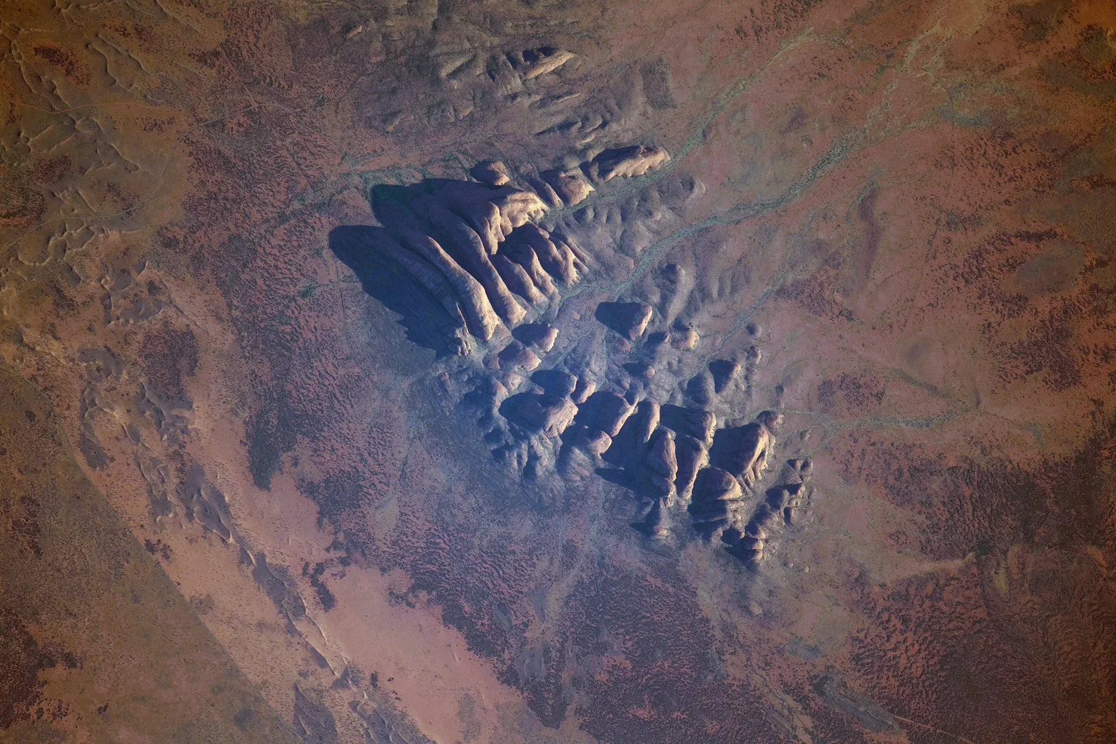
Grade 3, about one hour. The rocky track gently rises to a seasonal stream and spearwood grove; pink daisies may appear at the entrance in late winter. There is water but no toilet, and photography must keep both sides of the gorge in frame.
Grade 4, roughly 3–4 hours, with two lookouts and water halfway. Karu is 2.2 km return / about one hour; Karingana is 5.4 km return / about 2.5 hours. The full circuit can be easier than going out to Karingana and returning. At 36°C or above, Karu access closes from 11 am.
If heat, wind, fitness or a cultural closure rules out a walk, use a designated viewing area and keep time for the return to Yulara. Do not turn a closure into permission to leave the marked track or photograph a restricted face.
Choose a gorge or a full valley circuit
Waḻpa Gorge’s rocky track rises gently toward a seasonal stream and a grove of spearwood. The Valley of the Winds runs among the domes, with two lookouts and a more demanding grade. Its full loop can be easier than returning from the second lookout by the same route, so compare the whole circuit before choosing an out-and-back.
Choose Waḻpa Gorge or the Valley circuit
Check the walk status
Read Parks Australia alerts, the temperature forecast and the photography guidance before setting off.
Choose the commitment
Select Waḻpa for a 2.6 km, one-hour return, or the 7.4 km Valley circuit for a three-to-four-hour Grade 4 walk.
Start with the cutoff in mind
At 36°C or above, the Valley closes at Karu from 11 am. Carry water; there are no toilets on either walk.
Return without rushing
Stay on formed tracks, leave time for the drive back to Yulara and keep Uluṟu for a separate day.
Three reasons to change the plan.
Heat closure
The Valley of the Winds closes at its first lookout from 11 am when the forecast or actual temperature reaches 36°C.
Loose rock and grade
The Valley is steep and rocky; Waḻpa’s route still requires care on its uneven surface. Wear sturdy footwear and turn back if footing or heat is wrong.
Recording sensitive formations
The Valley’s no-photo/no-video guidance applies throughout the walk. Waḻpa requires both sides of the gorge to remain in frame.
Access is never implied by proximity.
Kata Tjuṯa is sacred Aṉangu Country. On the Valley of the Winds, do not photograph or film the rock formations anywhere on the walk. At Waḻpa Gorge, frame both sides of the gorge when recording it. Remain on marked paths and do not enter waterholes.
Four related field chapters.
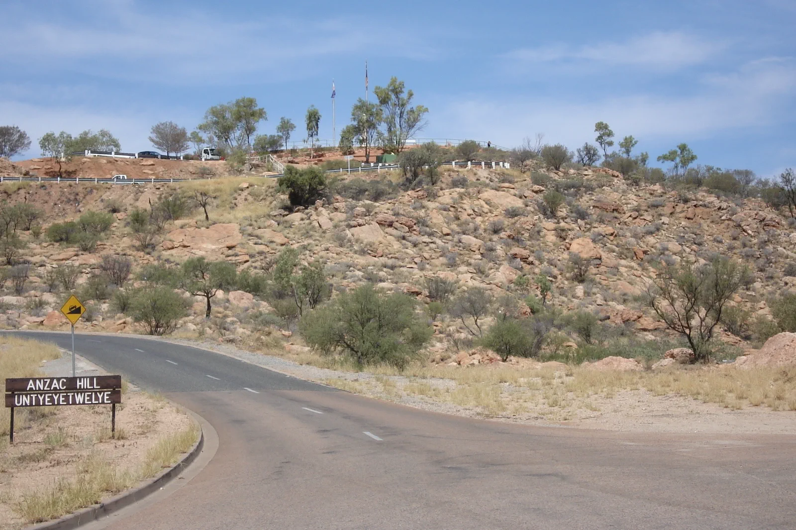
Mparntwe / Alice Springs
Make Alice Springs (Mparntwe) more than a fuel stop: pair the 1872 Telegraph Station precinct with the Desert…
Open the field guide →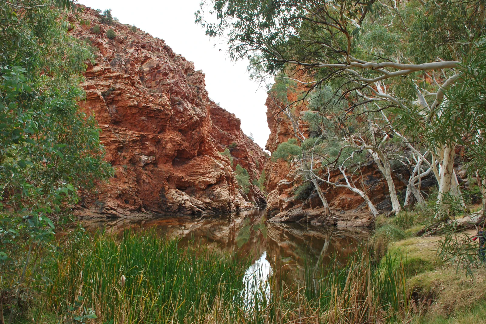
Tjoritja / West MacDonnell Ranges
Choose a near-town gorge or a full westward drive: Simpsons Gap is 20 minutes from Alice Springs, while…
Open the field guide →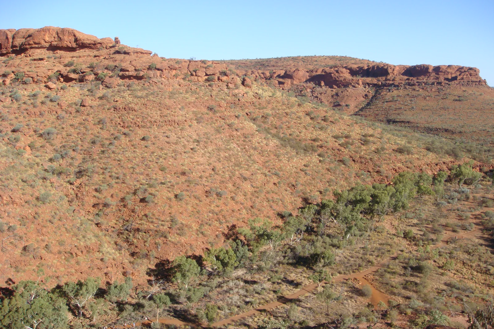
Watarrka / Kings Canyon
Stay near Watarrka and let the 36°C start limits choose between the six-kilometre Rim Walk and three shorter…
Open the field guide →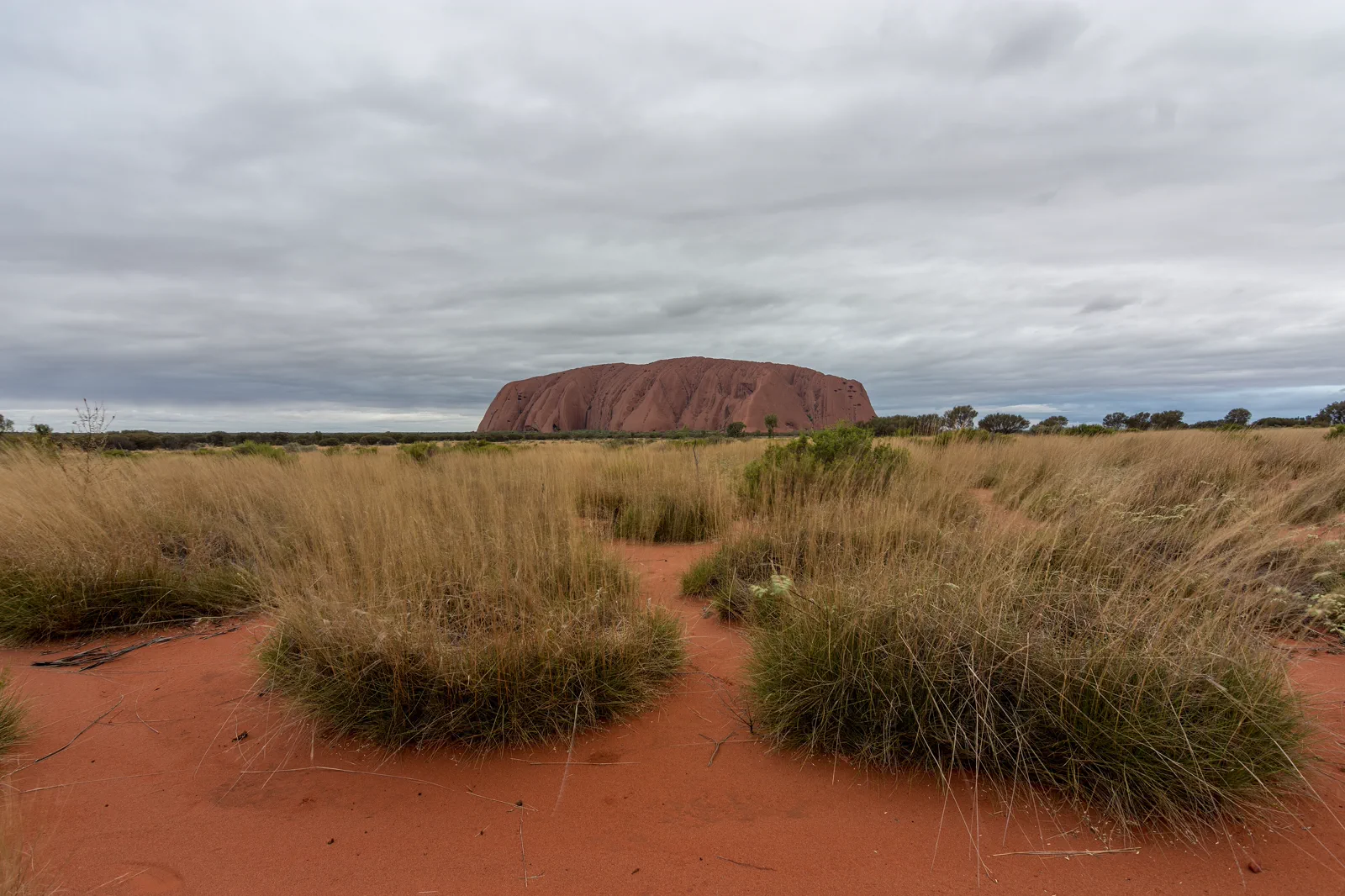
Uluṟu Cultural Landscape
Uluṟu is more than a red landmark: Aṉangu have cared for this living Country for generations, and the park is…
Open the field guide →Kata Tjuṯa FAQ
Is the first Valley of the Winds lookout a short option?
Karu Lookout is 2.2 km return and about one hour. The route is still rocky; from 11 am it closes when the forecast or actual temperature is 36°C or higher.
Can I photograph Kata Tjuṯa on the Valley walk?
No. Aṉangu ask visitors not to photograph or film the rock formations anywhere along the Valley of the Winds. At Waḻpa Gorge, keep both sides of the gorge in frame when recording it.
Can I visit Kata Tjuṯa after a long Uluṟu walk?
Give the walks separate days. The Valley loop takes three to four hours before the drive and recovery time; heat or a closure may also narrow the walking window.
Official sources and photo credits
Planning facts and image licenses were reviewed on 4 October 2026. Access, weather, transport, fire, marine and operator conditions change; verify directly before travel.
- Parks Australia — Kata Tjuṯa walks.
- Parks Australia — Waḻpa Gorge walk.
- Parks Australia — Valley of the Winds walks.
- Parks Australia — park entry.
- Australia - Alice Springs - ANZAC Hill.jpg — Genet ( Diskussion ), CC BY-SA 4.0. Resized, display-cropped and converted to WebP; no other material edits.
- Ellery Creek Big Hole - West Macdonnell Ranges NT.jpg — Iambexta, CC BY-SA 4.0. Resized, display-cropped and converted to WebP; no other material edits.
- Lascar View of Kings Canyon from one of its walls (Rim Walk) - Trees on the gorge, over 100m below (4563003708).jpg — Jorge Láscar from Australia, CC BY 2.0. Resized, display-cropped and converted to WebP; no other material edits.
- Uluru, Northern Territory.jpg — Philip Muir, CC BY-SA 4.0. Resized, display-cropped and converted to WebP; no other material edits.
- ISS-65 Kata Tjuta, Northern Territory.jpg — NASA, Public domain. Resized, display-cropped and converted to WebP; no other material edits.