Uluṟu Cultural Landscape surface, water and respect.
Uluṟu is more than a red landmark: Aṉangu have cared for this living Country for generations, and the park is jointly managed with the Australian Government. Begin with the Cultural Centre, then read the exposed sandstone and water-shaped shade around Muṯitjulu Waterhole.
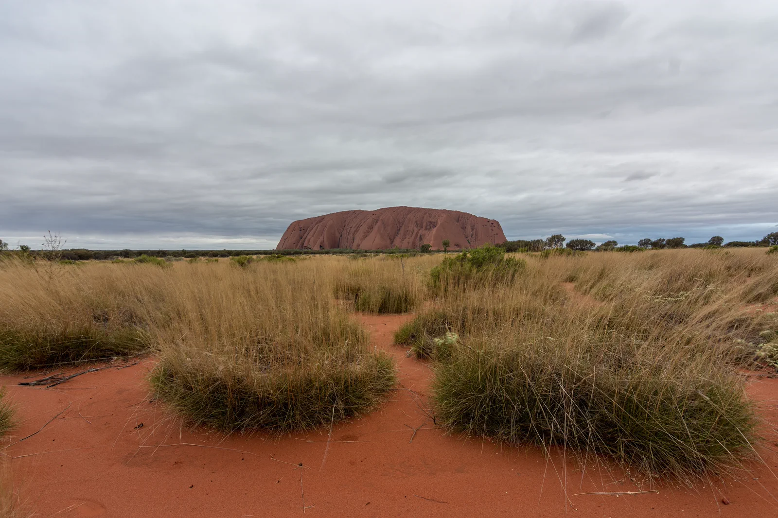
The return is 1 km, Grade 2 and 30–45 minutes. It reaches Muṯitjulu Waterhole, where permanent water supports a greener, shadier pocket of river red gums and tall grass. Keep this shorter walk for a limited morning or a day when the longer route is a poor fit.
The return from Mala carpark to Kaṉtju Gorge is 2 km, Grade 2 and about 90 minutes; water and toilets are available. It takes longer than Kuniya and adds publicly described campsites, a kitchen cave and the enclosed gorge.
The full loop is 10.6 km, Grade 3 and about 3.5 hours. Its sections alternate between greener pockets and exposed ground; start at Mala carpark while it is cool. Some tracks close in summer afternoons, and Parks Australia advises finishing before 11 am in hot weather.
Choose the right walk
Uluṟu and Kata Tjuṯa formed from ancient sediment fans that hardened into rock and later tilted as the land shifted. Uluṟu is mainly arkose sandstone; iron oxide gives its weathered surface the familiar red, while pale patches expose less-weathered rock. Geology is one layer of this place. Tjukurpa is Aṉangu law, knowledge and spiritual philosophy, and it guides the park's joint management. Start with the Tjukurpa Tunnel and multilingual displays at the Cultural Centre; let Aṉangu interpretation set the limits of what is shared.
Plan Uluṟu’s half-day for cool hours
Settle the arrival
Fly into AYQ at Yulara or make Alice Springs a separate road day. Reserve the park vehicle or tour in advance; the resort shuttle does not serve the park. Carry your park pass and check current alerts before leaving Yulara.
Start at the sunrise area
When the park access schedule permits, go to the designated Talinguṟu Nyakunytjaku viewing area at sunrise. Use the marked paths and follow the posted photography map; allow the quiet view to be the first stop rather than adding Kata Tjuṯa.
Walk Mala before the heat
From Mala carpark, follow the 2 km Grade 2 return path to Kaṉtju Gorge and back; allow about 90 minutes. Read the public signs from the track and check for closure notices. If Mala is closed, use Kuniya only when its route is open and the current heat advice allows it.
Finish at the Cultural Centre
Return for the Tjukurpa Tunnel, multilingual information displays, ranger desk and Aṉangu-owned galleries. Parks Australia recommends at least two hours; Ininti is the only park location selling food and drinks. Check current opening hours, then return to Yulara before adding another drive.
Three reasons to change the plan.
Heat can close the walk
Summer temperatures can exceed 40°C. Parks Australia recommends walking only in cooler periods, avoiding walks after 11 am in summer, carrying at least 1 litre of water per person per hour and obeying all closures. If the morning is already hot, replace the walk with the Cultural Centre and a designated viewing area.
Transport is not interchangeable
Ayers Rock Resort, the airport, the park entrance and the walking carparks are separate stops. There are no taxis or public transit inside the park; confirm the exact rental, tour or hop-on hop-off return before committing to a trail.
Photography has cultural boundaries
Use the current sensitive-site map and signs. Do not photograph restricted rock features, leave the path for a camera angle or photograph Aṉangu without permission; avoid detail on the north-east face as requested by Traditional Owners.
Four related field chapters.
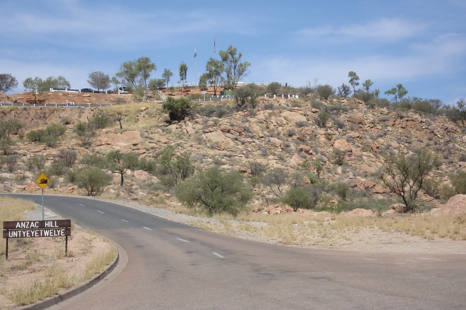
Mparntwe / Alice Springs
Make Alice Springs (Mparntwe) more than a fuel stop: pair the 1872 Telegraph Station precinct with the Desert…
Open the field guide →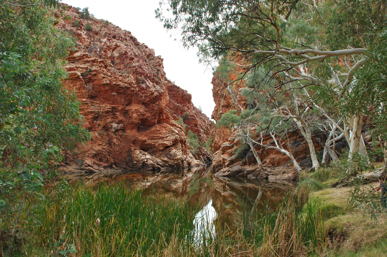
Tjoritja / West MacDonnell Ranges
Choose a near-town gorge or a full westward drive: Simpsons Gap is 20 minutes from Alice Springs, while…
Open the field guide →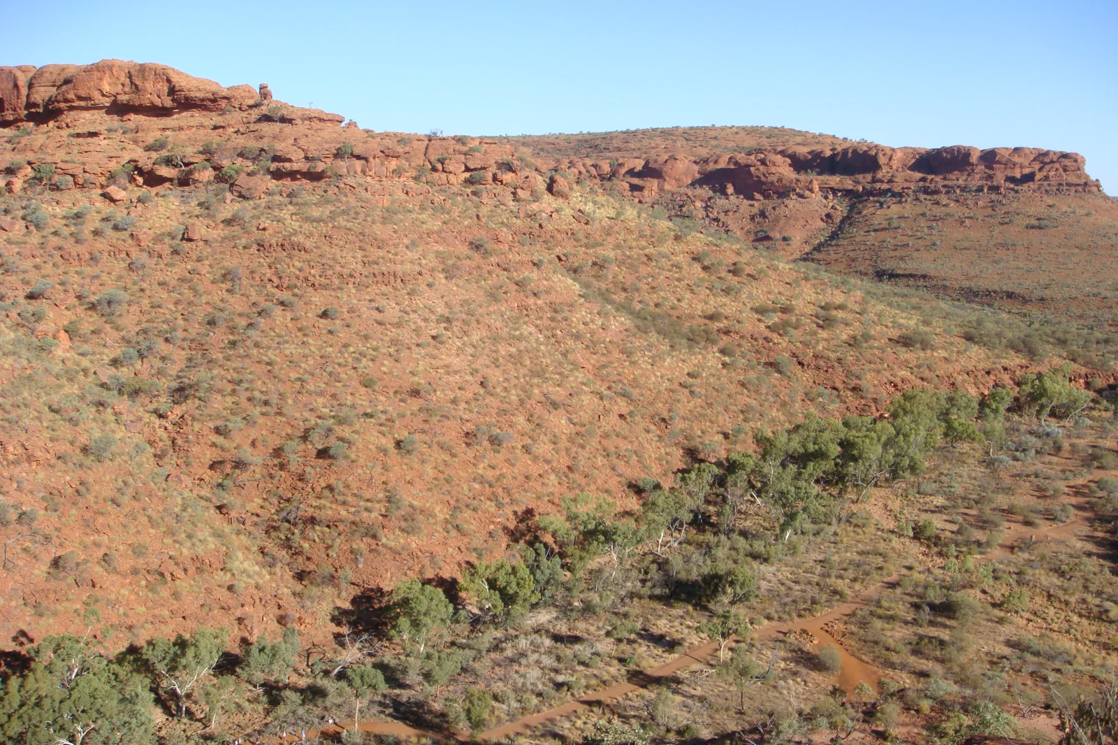
Watarrka / Kings Canyon
Stay near Watarrka and let the 36°C start limits choose between the six-kilometre Rim Walk and three shorter…
Open the field guide →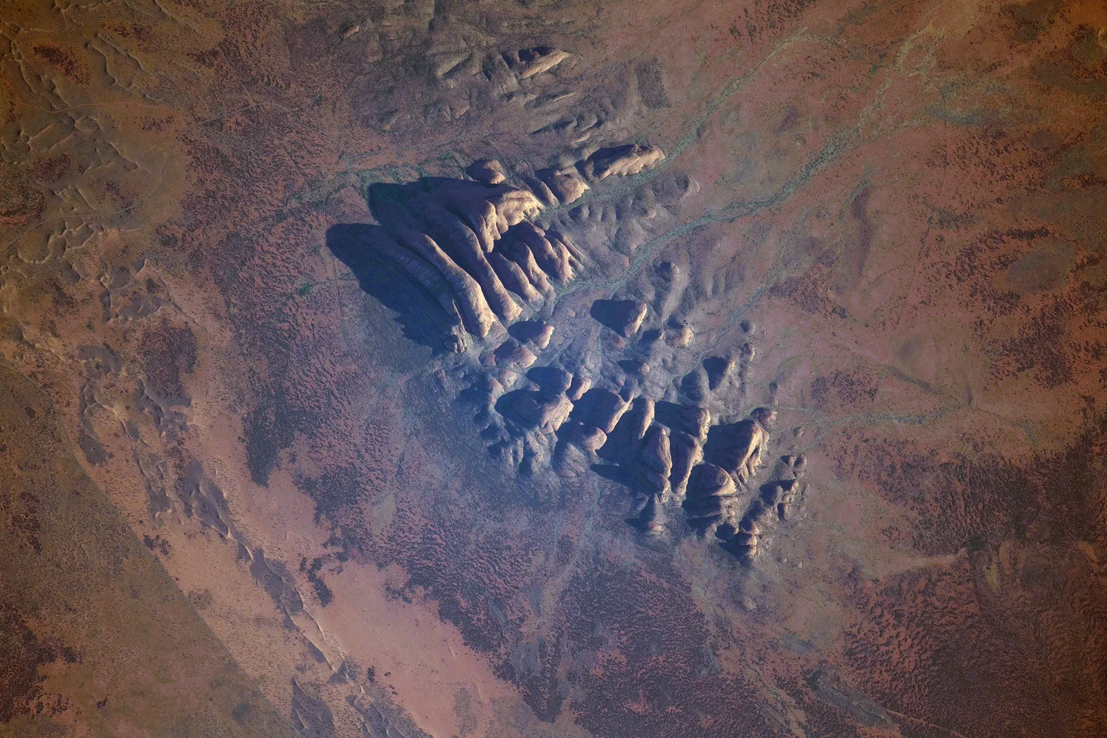
Kata Tjuṯa
Waḻpa Gorge is a one-hour return walk; the Valley of the Winds is a steep, 7.4 km loop with a heat cutoff and…
Open the field guide →Uluṟu Cultural Landscape FAQ
Why does this place matter beyond its geology?
Aṉangu Traditional Owners received Uluṟu-Kata Tjuṯa National Park back in 1985, and jointly manage it with the Australian Government. Parks Australia describes Tjukurpa as traditional law, knowledge and spiritual philosophy guiding care of Country. Begin with the park's public Aṉangu interpretation and do not assume restricted stories are for visitors to repeat.
Which Uluṟu walk fits a short visit?
Kuniya is the shorter 1 km return (30–45 minutes, Grade 2) to the waterhole. Mala is 2 km return (about 90 minutes, Grade 2) to Kaṉtju Gorge. The complete Uluṟu Base Walk is 10.6 km (about 3.5 hours, Grade 3) and needs a cool morning. Use the current official walk page for changes or closures.
What changes when it is hot?
Do not move an exposed walk to midday. In summer, Parks Australia advises finishing walking before 11 am; carry at least a litre of water per person per hour and obey closure signs. Use the Cultural Centre and a designated viewing area if the walk window is closed.
Where may I take photographs?
Follow the park photography map and every sign. Some sensitive sites prohibit photographs of the rock; elsewhere visitors should stay on marked tracks. On the north-east face, Aṉangu request wide, distant pictures without detail at the top-left. Ask before photographing people, and do not fly a drone.
Official sources and photo credits
Planning facts and image licenses were reviewed on 4 October 2026. Access, weather, transport, fire, marine and operator conditions change; verify directly before travel.
- Parks Australia – joint management.
- Parks Australia – geology of Uluṟu and Kata Tjuṯa.
- Parks Australia – Cultural Centre and visitor information.
- Parks Australia – half-day itineraries.
- Parks Australia – getting to the park.
- Parks Australia – getting around.
- Parks Australia – Mala walk.
- Parks Australia – Kuniya walk and Muṯitjulu Waterhole.
- Parks Australia – Uluṟu Base Walk.
- Parks Australia – photography and cultural protocols.
- Parks Australia – Aṉangu seasons.
- Parks Australia – heat and walking safety.
- Parks Australia – park passes.
- Parks Australia – Tjukurpa.
- Australia - Alice Springs - ANZAC Hill.jpg — Genet ( Diskussion ), CC BY-SA 4.0. Resized, display-cropped and converted to WebP; no other material edits.
- Ellery Creek Big Hole - West Macdonnell Ranges NT.jpg — Iambexta, CC BY-SA 4.0. Resized, display-cropped and converted to WebP; no other material edits.
- Lascar View of Kings Canyon from one of its walls (Rim Walk) - Trees on the gorge, over 100m below (4563003708).jpg — Jorge Láscar from Australia, CC BY 2.0. Resized, display-cropped and converted to WebP; no other material edits.
- Uluru, Northern Territory.jpg — Philip Muir, CC BY-SA 4.0. Resized, display-cropped and converted to WebP; no other material edits.
- ISS-65 Kata Tjuta, Northern Territory.jpg — NASA, Public domain. Resized, display-cropped and converted to WebP; no other material edits.