Tjoritja / West MacDonnell Ranges gorge road and water decisions.
Choose a near-town gorge or a full westward drive: Simpsons Gap is 20 minutes from Alice Springs, while Ormiston Gorge is 135 km away.
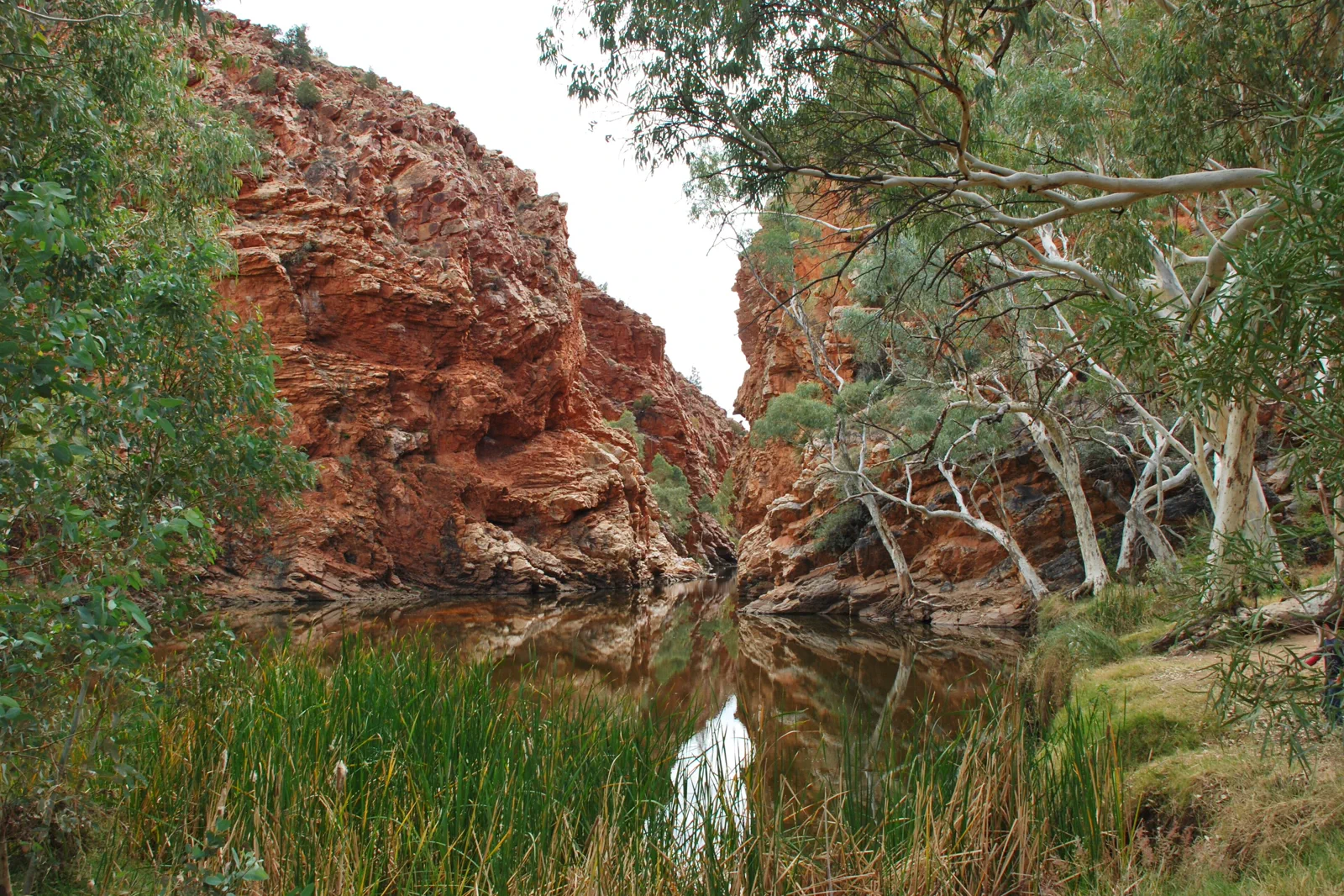
Twenty minutes from Alice Springs, Simpsons Gap has Ghost Gum Walk, Cassia Hill and Woodland Trail; swimming is prohibited. The sealed bicycle path runs 17 km one way from a start 7 km out of town, so treat it as its own ride with water and a return plan.
At 135 km west, Ormiston has short accessible routes, half-day circuits and overnight walks. Its permanent waterhole is 500 m from the visitor centre and may be up to 14 m deep. NT Parks currently warns that Ormiston Pound Walk requires a short swim through deep cold water.
This 12-section trail is a separate hiking plan: Simpsons Gap lies on Sections 1 and 2, while Ormiston Gorge is on Sections 9 and 10. Check section maps, water and closure notices before choosing an overnight itinerary.
Choose by distance, then by water
Tjoritja / West MacDonnell National Park stretches 161 km west of Alice Springs, with sites reached along Larapinta Drive and Namatjira Drive. Simpsons Gap offers short walks near town; Ormiston is a full-distance outing with a permanent waterhole, campground and longer trail options. A map pin is not a measure of the return drive.
Choose an Ormiston or Simpsons Gap day
Set the distance limit
Choose Simpsons Gap for a short town-side outing or Ormiston Gorge for a full westward day; do not plan every gorge as one loop.
Choose one walk
Match the named route, grade, heat and daylight to the site. Treat Larapinta sections as multi-hour or overnight hikes, not roadside add-ons.
Read the water notice
Check swimming rules, water temperature, depth and any crossing requirement at the exact site before entering or starting a loop.
Return in daylight
Carry water and offline directions, refuel in town and leave a margin for a long drive and wildlife on the road.
Three reasons to change the plan.
Distance mistaken for a day trip
Ormiston is 135 km west of Alice Springs; build the return and one main walk into the plan before adding another stop.
Cold or restricted water
Ormiston’s waterhole is very cold and can reach 14 m deep. Do not jump or dive; Simpsons Gap is closed to swimming.
Changing park status
Fire, flood, maintenance and road conditions can close sites. The Ormiston Pound crossing requirement is a live condition, so recheck on the day.
Access is never implied by proximity.
Tjoritja is Arrernte Country. Follow public park interpretation, stay on formed tracks, do not swim at Simpsons Gap and respect any cultural or waterhole closure. Boil water where park signs require it.
Four related field chapters.
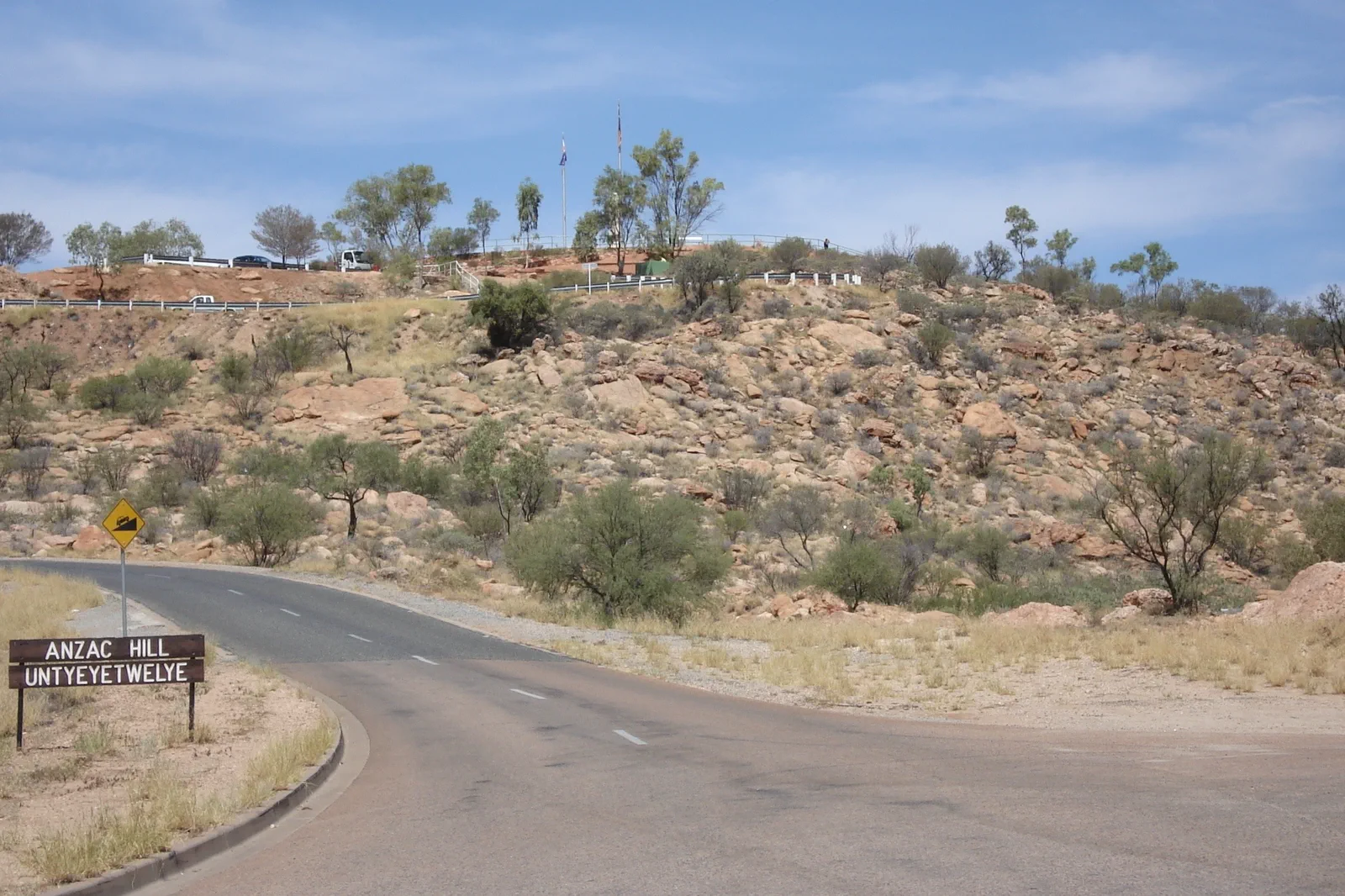
Mparntwe / Alice Springs
Make Alice Springs (Mparntwe) more than a fuel stop: pair the 1872 Telegraph Station precinct with the Desert…
Open the field guide →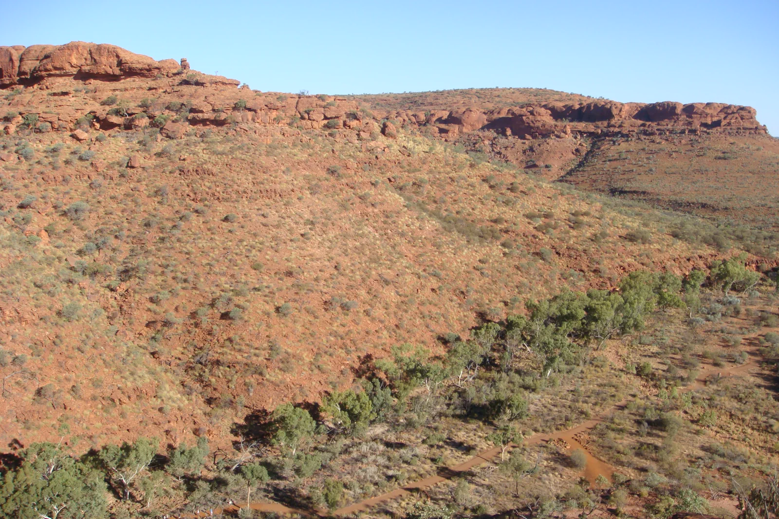
Watarrka / Kings Canyon
Stay near Watarrka and let the 36°C start limits choose between the six-kilometre Rim Walk and three shorter…
Open the field guide →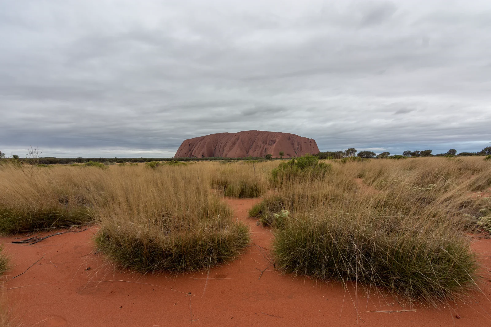
Uluṟu Cultural Landscape
Uluṟu is more than a red landmark: Aṉangu have cared for this living Country for generations, and the park is…
Open the field guide →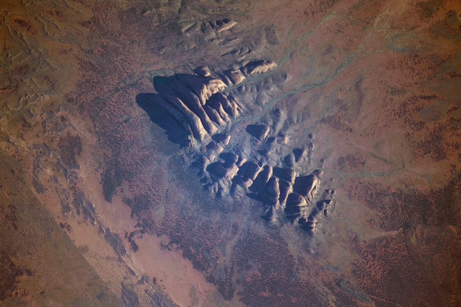
Kata Tjuṯa
Waḻpa Gorge is a one-hour return walk; the Valley of the Winds is a steep, 7.4 km loop with a heat cutoff and…
Open the field guide →Tjoritja / West MacDonnell Ranges FAQ
Can I visit Simpsons Gap and Ormiston Gorge in one day?
Ormiston lies 135 km west of Alice Springs and needs a full-day plan. Simpsons Gap is only 20 minutes from town; combine it with one other stop only when current daylight and road conditions leave a safe return.
Is the water safe for a swim?
Swimming is prohibited at Simpsons Gap. Ormiston has a permanent swimming waterhole, but the water is extremely cold, may be 14 m deep and contains submerged logs and rocks. Never jump or dive, and check current crossing notices.
Does the Red Centre Way need a special vehicle or permit?
NT Parks says the Mereenie Loop between the West Macs and Watarrka is unsealed, requires a permit and is recommended for 4WD. Check the road report and permit terms before selecting it.
Official sources and photo credits
Planning facts and image licenses were reviewed on 4 October 2026. Access, weather, transport, fire, marine and operator conditions change; verify directly before travel.
- Northern Territory Parks — Tjoritja / West MacDonnell National Park.
- Northern Territory Parks — Simpsons Gap.
- Northern Territory Parks — Ormiston Gorge.
- Northern Territory Parks — Larapinta Trail sections.
- Australia - Alice Springs - ANZAC Hill.jpg — Genet ( Diskussion ), CC BY-SA 4.0. Resized, display-cropped and converted to WebP; no other material edits.
- Ellery Creek Big Hole - West Macdonnell Ranges NT.jpg — Iambexta, CC BY-SA 4.0. Resized, display-cropped and converted to WebP; no other material edits.
- Lascar View of Kings Canyon from one of its walls (Rim Walk) - Trees on the gorge, over 100m below (4563003708).jpg — Jorge Láscar from Australia, CC BY 2.0. Resized, display-cropped and converted to WebP; no other material edits.
- Uluru, Northern Territory.jpg — Philip Muir, CC BY-SA 4.0. Resized, display-cropped and converted to WebP; no other material edits.
- ISS-65 Kata Tjuta, Northern Territory.jpg — NASA, Public domain. Resized, display-cropped and converted to WebP; no other material edits.