Sydney, Harbour & Coast Let ferries, headlands and weather divide the Harbour City.
Sydney works best as several linked transport-and-weather days, not one central checklist. The CBD and Circular Quay are the hinge; The Rocks and the Opera House sit on foot-linked harbour edges, while Bondi and Coogee need a separate coast day and Manly begins with a harbour crossing. Use this hub to choose a base, protect the return, and leave room for the living Country, civic uses and changing conditions that a map cannot schedule.
- Useful stay
- For a three-night first visit, stay near a rail interchange that also gives a practical start toward Circular Quay; compare…
- Transfer logic
- Rail, light rail, buses, ferries and walking connect the chapters, but they are different service plans.
Choose the operating system, then the place.
Every card opens a full route with transport, access, weak points, official sources and visible image provenance.
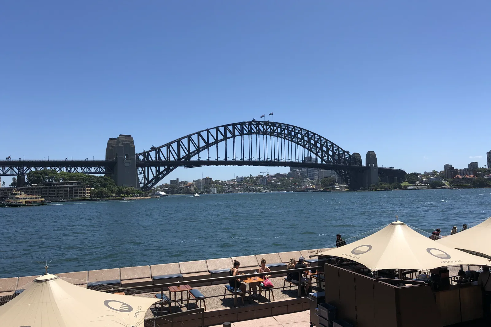
Circular Quay & The Rocks
A walkable Circular Quay–The Rocks circuit that turns ferry wharves, the harbour ridge and public foreshore into one legible half-day, with a named rail or wharf return and room for a museum only when its entry is confirmed.
Open the field guide →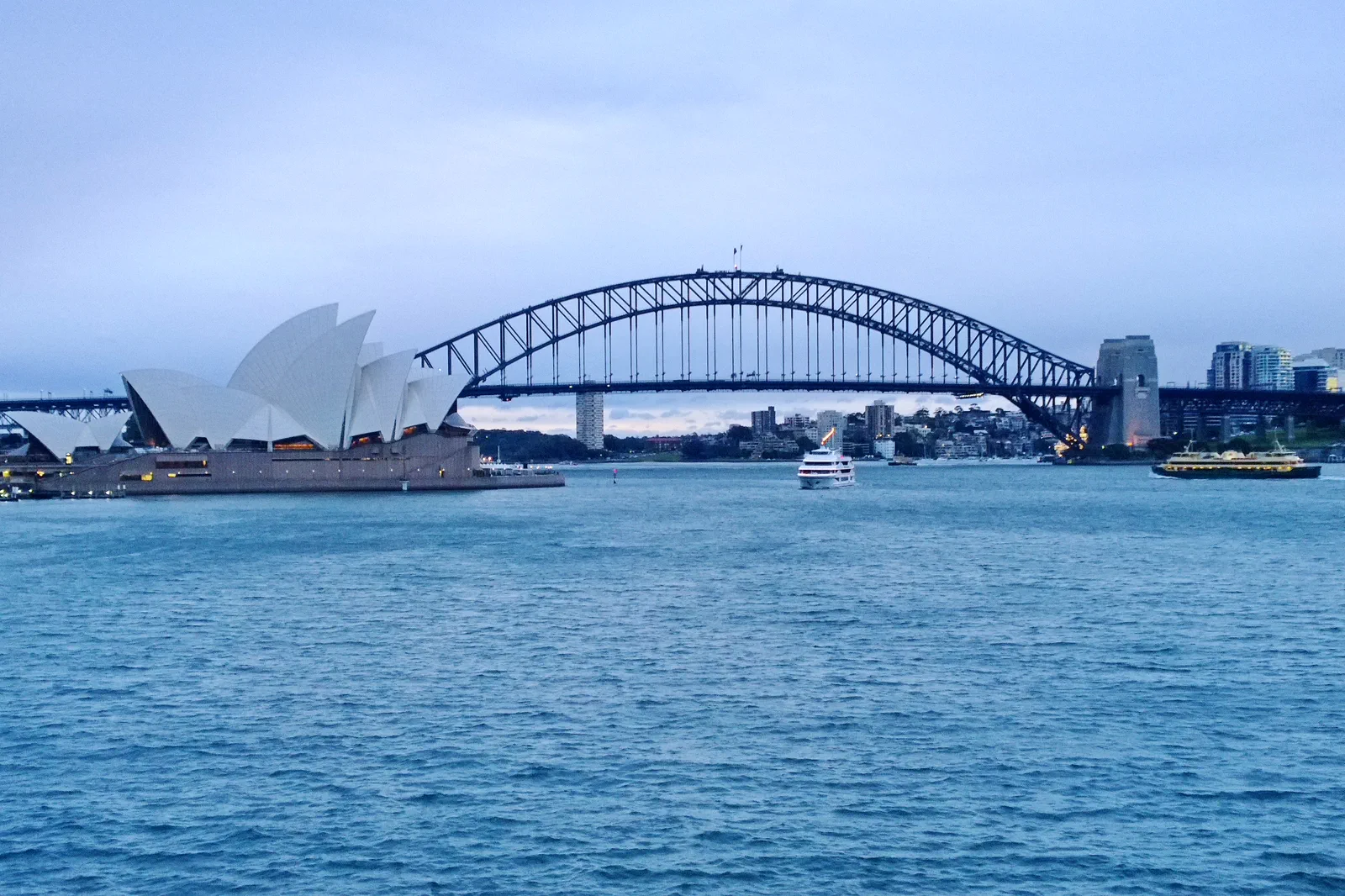
Opera House & Royal Botanic Garden
A half-day pairing of the Sydney Opera House precinct with one Royal Botanic Garden section, organized around the actual venue booking, garden gate, shade and return connection rather than an assumed all-access loop.
Open the field guide →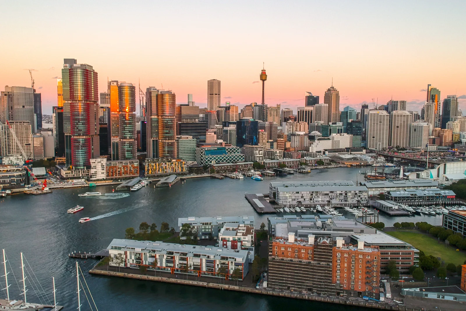
Barangaroo & Darling Harbour
A west-side foreshore walk through headland park, commercial waterfront and Darling Harbour without assuming every edge forms one continuous promenade.
Open the field guide →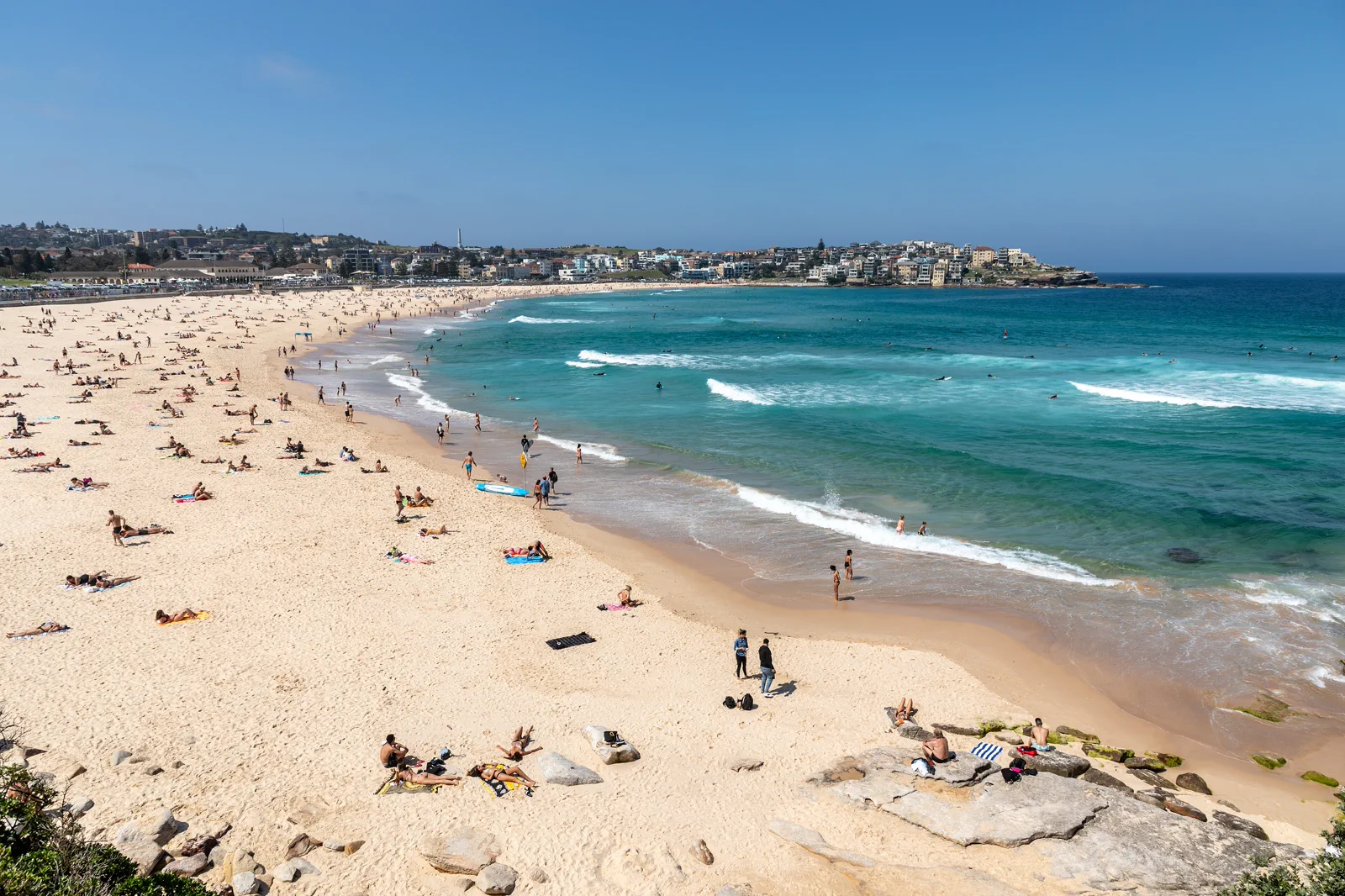
Bondi to Coogee Coastal Walk
The signed Bondi–Tamarama–Bronte–Clovelly–Coogee coastal walk is about 6 km; plan roughly three to five hours with stops, an early turnaround option and a checked bus return rather than treating the exposed headlands as a flat city stroll.
Open the field guide →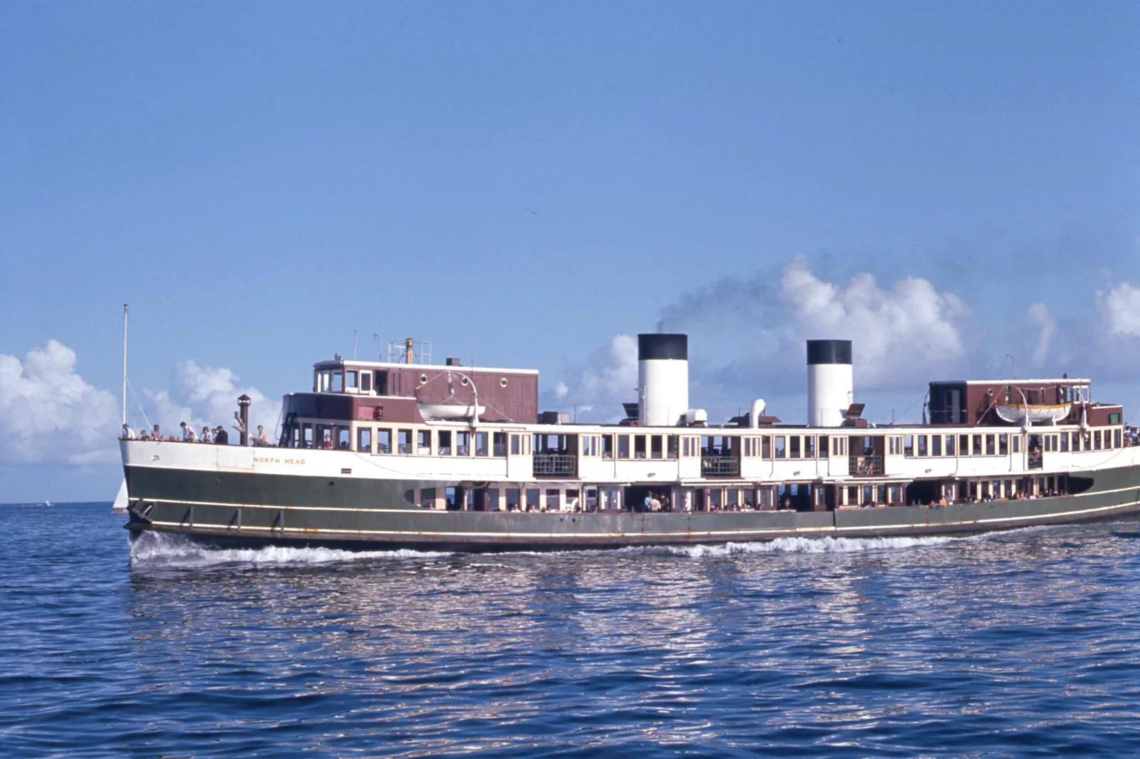
Manly & North Head
A ferry-led day linking Manly’s ocean and harbour sides to North Head, with cliff exposure and the last useful return kept visible.
Open the field guide →Distance is part of the content.
Australia punishes invisible transfer time. These five contracts keep the route honest.
Sleep near the first decision.
For a three-night first visit, stay near a rail interchange that also gives a practical start toward Circular Quay; compare CBD/Wynyard/Town Hall with Central by the actual first-day route, station exit, luggage access and late arrival. Central can simplify a rail-led arrival but adds a cross-city leg to some harbour starts. A beach base makes sense only when the coast is the main purpose; price the city return each day before booking. Check step-free paths with the station and accommodation rather than inferring them from a map.
Name the road, rail, ferry or operator.
Rail, light rail, buses, ferries and walking connect the chapters, but they are different service plans. Check each leg in Transport for NSW on the travel date, including wharf or stop changes, interchange walking, accessible boarding and disruption notices. Keep a route-independent buffer before a booked performance, airport departure or last planned return; no sample itinerary here guarantees a particular fare, headway or operating time.
Permission and guidance come first.
Use recognised Traditional Owner language and visitor guidance. Do not infer access to cultural places, communities or Country from an online pin.
One national forecast is not enough.
Check the local fire, flood, surf, marine, alpine, heat or cyclone condition that actually governs the selected chapter.
Protect the last safe movement.
Every field guide declares a return, turnaround or overnight before adding optional distance.
Do not clear the map in one day.
Circular Quay & The Rocks
Give this route a half-day without a timed interior, or most of a day if you add one museum or booked…
Field 02Opera House & Royal Botanic Garden
For an unbooked visit, use the public precinct, one garden section and a confirmed exit as a flexible…
Field 03Barangaroo & Darling Harbour
Begin in the cooler headland landscape, move through the working waterfront and finish at one defined…
Field 04Bondi to Coogee Coastal Walk
Start early enough to keep daylight and heat margin, but follow the day’s forecast and surf advice…
Field 05Manly & North Head
Cross by ferry, read both water edges, choose one headland circuit and return to the wharf before…
Separate the harbour crossing from the coast day.
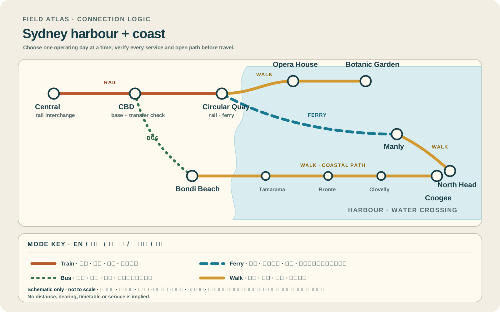
Use the schematic to choose a mode and an operating day. Check the live route, access and conditions with the responsible operator before leaving.
A useful route depends on the number of days and the operating system.
These examples group real places and protect the return. Check live services, openings, access and weather before fixing the order.
harbour first
Keep the arrival day close to the base. Give one full day to Circular Quay, The Rocks and the Opera House exterior or a confirmed visit, then reserve the third day for either a harbour crossing or one coast section. This is a choice, not a checklist: omit the distant chapter that would consume its own transfer day.
city plus one coast
Use two separate harbour/civic days, one Bondi–Coogee coast day, and one Manly/North Head day only if ferry and track conditions suit. Leave a flexible half-day for weather, a performance or a slower museum visit; do not make a timed ticket depend on a beach bus return.
weather margin
Add a genuine spare day and choose between a second eastern-beach section, a western foreshore chapter or a longer cultural visit. Keep harbour, ocean and venue days modular so a heat warning, rough surf, event closure or service change can move one chapter without unraveling every booking.
Sydney, Harbour & Coast FAQ
How many nights make Sydney useful?
Three nights support a focused harbour visit and one additional chapter. Five nights make room for both a coast day and a separate north-harbour day. Seven nights are useful when you want a weather reserve or deeper cultural visits; extra days are not a reason to combine incompatible transport legs.
Which area is the best base?
There is no universal winner. Compare a CBD/Wynyard/Town Hall base for central harbour access, Central for rail arrival and intercity connections, and an eastern-beach stay only when beach time outweighs repeated city transfers. Check the exact hotel entrance, station exits, late-night return and accessibility needs.
Can Bondi and Manly fit on one day?
They are separate ocean and harbour systems. Doing both turns the day into transfers and leaves little time to walk either place well. Choose the one that matches the day’s weather, interests and return plan.
What must be checked on the day?
Transport for NSW service and access notices, venue or garden status, Bureau of Meteorology warnings, Beachsafe patrol and hazard information, and any park or path closure. Check the authority that governs the next leg, not just a general city forecast.
Official sources and photo credits
Planning facts and image licenses were reviewed on 12 October 2026. Recheck transport, park, fire, weather, marine and operator conditions before travel.
- Tourism Australia — Sydney.
- Destination NSW — Sydney.
- Transport for NSW — trip planner.
- Australian Bureau of Meteorology — Sydney forecast.
- NSW National Parks — Sydney Harbour National Park.
- TripDistill original Sydney harbour and coast planning schematic — TripDistill Editorial Team, Project original; no separate reuse license declared. Planning schematic only; paths are indicative, not geographic, and do not show distance, bearing, timetable or service availability.
- Photo of the Sydney Harbour Bridge from Circular Quay.jpg — JCL888, CC BY-SA 4.0. Resized, display-cropped and converted to WebP; no other material edits.
- Royal Botanic Gardens, Mrs Macquaries Road, Sydney New South Wales 2000, Úc Nhà hát Opera Sydney - panoramio.jpg — trungydang, CC BY 3.0. Resized, display-cropped and converted to WebP; no other material edits.
- 2019-04-10 Sydney CBD view from Pyrmont at sunset.jpg — Maksym Kozlenko, CC BY-SA 4.0. Resized, display-cropped and converted to WebP; no other material edits.
- Sydney (AU), Bondi Beach -- 2019 -- 2354.jpg — Dietmar Rabich, CC BY-SA 4.0. Resized, display-cropped and converted to WebP; no other material edits.
- Sydney Ferry NORTH HEAD en route to Manly at the Heads on Sydney Harbour 20 January 1973.jpg — John Ward, CC BY 4.0. Resized, display-cropped and converted to WebP; no other material edits.