Circular Quay & The Rocks harbour arrival clock.
A walkable Circular Quay–The Rocks circuit that turns ferry wharves, the harbour ridge and public foreshore into one legible half-day, with a named rail or wharf return and room for a museum only when its entry is confirmed.
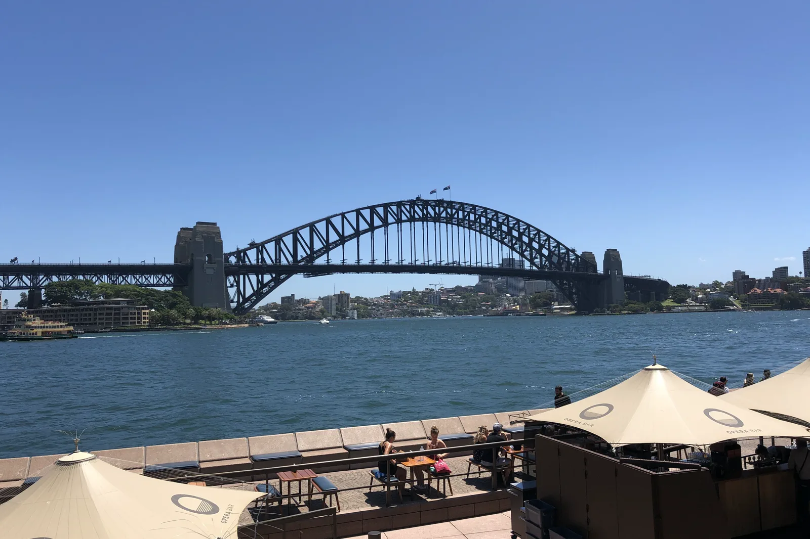
Lower quay and museum edge for a level shorter visit; add the ridge only if slopes and stairs suit the group.
Use the MCA or another confirmed venue as a deliberate reading stop, not an extra queue added after the walk.
Write down one rail/light-rail option and one wharf or alternate station before leaving the interchange.
Read the interchange before the postcard.
Start at Circular Quay Station or the ferry wharves and first identify the route home. A compact circuit can run from the quay along the public edge to the Museum of Contemporary Art, then west into The Rocks and uphill toward Observatory Hill before returning by a checked route. The order matters: the harbour edge is busy and level, while the historic lanes rise quickly. If stairs or steep grades are a barrier, keep the visit on the lower foreshore and choose an accessible cultural interior after checking its entry and facilities.
Quay edge, one ridge, one return.
Set the return bearings
At the station or wharf, locate the actual entrance, boarding area, lift information and an alternate exit. Check alerts before committing to a direction.
Follow the public quay
Walk the open foreshore toward the museum edge, keeping clear of boarding queues and restaurant access. If the edge is constrained, turn at the nearest public cross-street.
Climb one Rocks lane
Choose a signed public street toward the ridge and read on-site heritage interpretation. Observatory Hill is an optional endpoint, not a reason to continue onto a closed or private path.
Close at the chosen node
Return via a currently open street to the planned station or wharf. Recheck the service before joining a long queue and use the second exit if crowding or access changes.
Three reasons to change the plan.
Cruise, market or event surge
Passenger and event peaks can change the usable footpath and interchange. Check the day’s notices; skip the ridge if the quay is already congested.
Steep heritage streets
The short map distance hides gradients and stairs. Confirm the exact step-free route with the venue or station; if uncertain, keep to the lower foreshore and make that the complete visit.
Working water edge
Wharves, wet stone and unprotected harbour edges are not play or photo platforms. Stay behind barriers, keep children close and never cross a boarding lane against signs.
Access is never implied by proximity.
The Rocks sits within Gadigal Country and includes homes, workplaces and heritage fabric. Use the public streets and viewpoints as intended, follow current cultural interpretation, and do not stage residents or workers as scenery. Respect barriers, quiet spaces and any gathering or ceremony that changes access.
Four related field chapters.
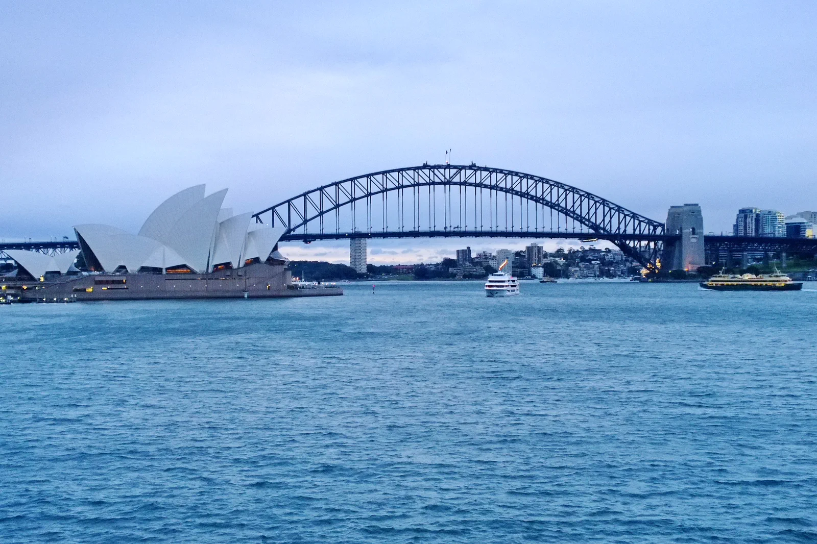
Opera House & Royal Botanic Garden
A half-day pairing of the Sydney Opera House precinct with one Royal Botanic Garden section, organized around…
Open the field guide →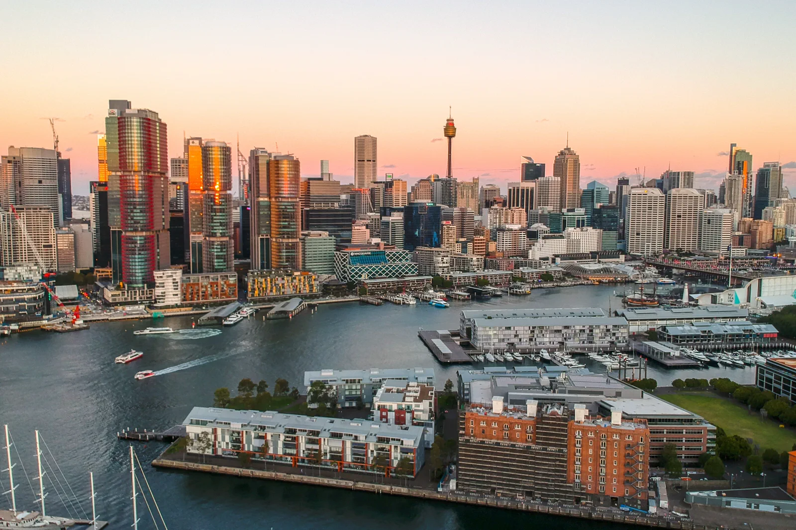
Barangaroo & Darling Harbour
A west-side foreshore walk through headland park, commercial waterfront and Darling Harbour without assuming…
Open the field guide →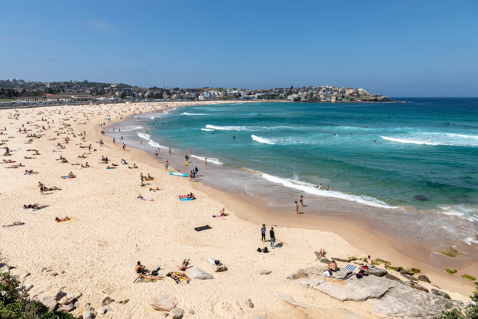
Bondi to Coogee Coastal Walk
The signed Bondi–Tamarama–Bronte–Clovelly–Coogee coastal walk is about 6 km; plan roughly three to five hours…
Open the field guide →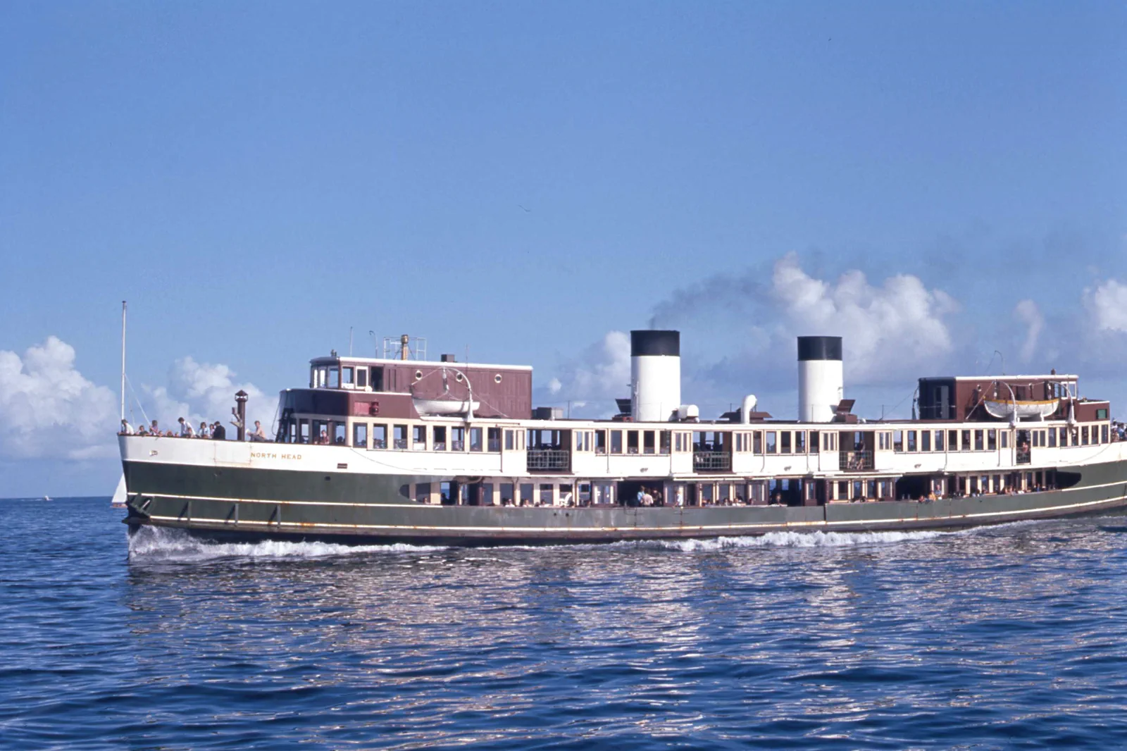
Manly & North Head
A ferry-led day linking Manly’s ocean and harbour sides to North Head, with cliff exposure and the last useful…
Open the field guide →Circular Quay & The Rocks FAQ
Is The Rocks a flat walk from Circular Quay?
No. The waterfront is comparatively level, but the lanes rising through The Rocks include slopes and stairs. A foreshore-only visit is a valid shorter option; verify step-free access for any museum, station or venue you add.
How long should I spend here?
Plan three to four hours for the quay, one ridge and pauses. Add a museum only after confirming its hours, admission and access directly; an event or crowd may make a shorter loop the better day.
Can I add the Opera House and gardens?
They are nearby but form a distinct visit with separate venue and garden thresholds. Pair them only when the route, any timed entry and the remaining daylight work; do not add a beach trip as well.
What is the simplest fallback?
Stay on the lower public foreshore, choose one confirmed indoor stop, then return to the same checked transport node. This avoids the steepest lanes and keeps the day legible when weather or access changes.
Official sources and photo credits
Planning facts and image licenses were reviewed on 12 October 2026. Access, weather, transport, fire, marine and operator conditions change; verify directly before travel.
- Transport for NSW — trip planner and current service information.
- NSW National Parks — Sydney Harbour National Park visitor information.
- Museum of Contemporary Art Australia — visit information.
- Photo of the Sydney Harbour Bridge from Circular Quay.jpg — JCL888, CC BY-SA 4.0. Resized, display-cropped and converted to WebP; no other material edits.
- Royal Botanic Gardens, Mrs Macquaries Road, Sydney New South Wales 2000, Úc Nhà hát Opera Sydney - panoramio.jpg — trungydang, CC BY 3.0. Resized, display-cropped and converted to WebP; no other material edits.
- 2019-04-10 Sydney CBD view from Pyrmont at sunset.jpg — Maksym Kozlenko, CC BY-SA 4.0. Resized, display-cropped and converted to WebP; no other material edits.
- Sydney (AU), Bondi Beach -- 2019 -- 2354.jpg — Dietmar Rabich, CC BY-SA 4.0. Resized, display-cropped and converted to WebP; no other material edits.
- Sydney Ferry NORTH HEAD en route to Manly at the Heads on Sydney Harbour 20 January 1973.jpg — John Ward, CC BY 4.0. Resized, display-cropped and converted to WebP; no other material edits.