Barangaroo & Darling Harbour western foreshore ledger.
Choose the upper paths of Barangaroo Reserve or the lower Wulugul Walk, then finish at one confirmed Darling Harbour exit; public access, events and return transport can change by block.
The Reserve offers a planted headland perspective but adds slope and steps; the lower Wulugul section reduces the climb but still depends on open foreshore access.
A single museum visit can fit the foreshore; choose the Australian National Maritime Museum only after checking its own entry, hours and remaining walking time.
Choose a wharf or inland rail/metro stop before starting. Do not let a ticketed venue or event finish depend on an unverified ferry or last-minute cross-precinct walk.
Choose the edge and the exit before walking.
Barangaroo is not one uninterrupted boardwalk. The upper Reserve is a planted headland with slopes and viewpoints; the lower Wulugul Walk follows the harbour edge toward Darling Harbour; commercial wharves and event spaces can interrupt public movement. Pick the terrain and endpoint that suit the group, then check the current precinct map and on-site diversions before committing to a through-walk.
Three surfaces, three separate access checks.
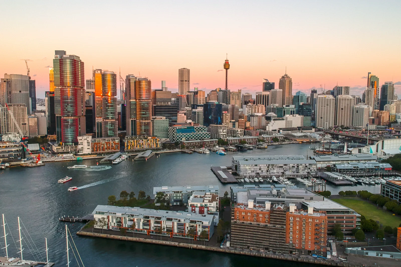
The city skyline in the hero is a contextual dusk view from Pyrmont, not a picture of the walking line. Use the official precinct map for entrances, then check each public-to-private transition on the day.
Reserve, signed foreshore, named return.
Check the endpoints
Pick a public entrance and a named return stop. Confirm current transport, event and access notices before setting out.
Read the upper Reserve
Take the headland paths only if their slope and open sections suit the group; otherwise begin on the lower public edge.
Follow Wulugul Walk
Use the signed harbour-side connection toward Darling Harbour and obey any temporary diversion instead of crossing a work zone.
Choose one finish
Stop at the public waterfront or add one verified museum visit, then return from the exact wharf or station you planned.
Three reasons to change the plan.
A broken promenade
Construction, event fencing and private wharves can interrupt the apparent shoreline line. Recheck the precinct notice and obey the signs.
Slope mistaken for access
A nearby station or venue does not make every upper path step-free. Confirm the exact accessible path and choose the lower section if uncertain.
Event exit pressure
A show or market can concentrate people around one crossing or stop. Set a meeting point and a second return option before the crowd forms.
Access is never implied by proximity.
Barangaroo Reserve and Wulugul Walk are public spaces within a living cultural landscape, but nearby wharves, workplaces, event compounds and venue interiors are not interchangeable public paths. Follow Gadigal cultural guidance, barriers and event directions; never treat a waterfront photo or visitor map as proof that a closed edge is open.
Four related field chapters.
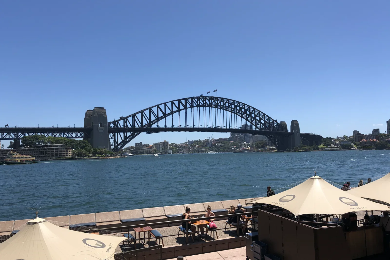
Circular Quay & The Rocks
A walkable Circular Quay–The Rocks circuit that turns ferry wharves, the harbour ridge and public foreshore…
Open the field guide →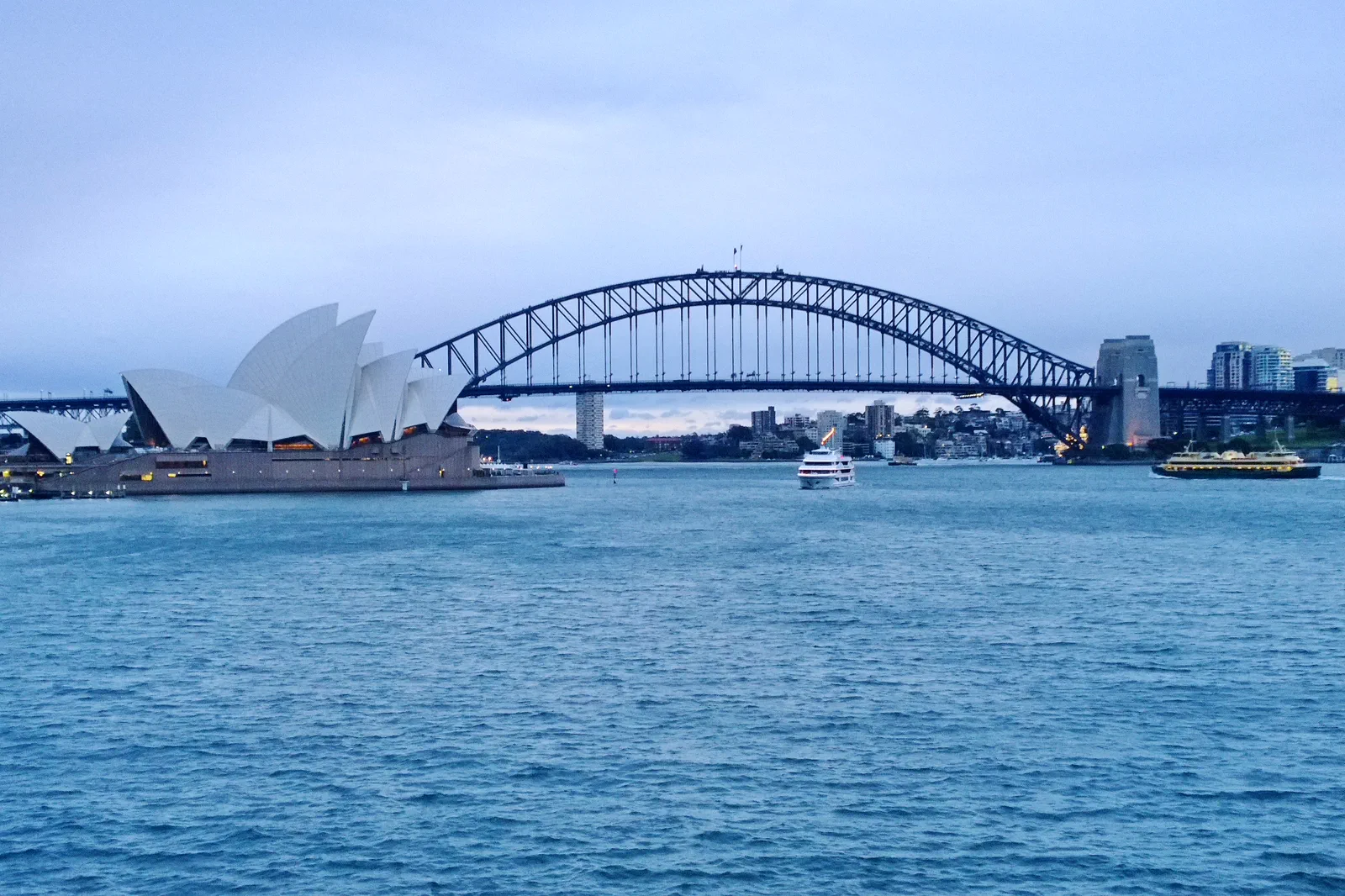
Opera House & Royal Botanic Garden
A half-day pairing of the Sydney Opera House precinct with one Royal Botanic Garden section, organized around…
Open the field guide →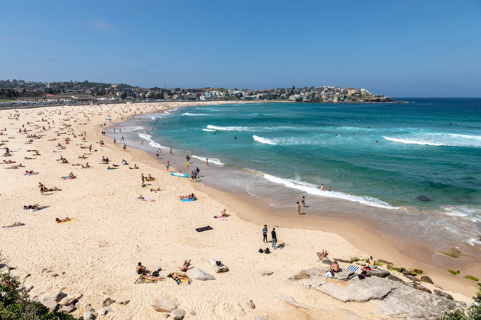
Bondi to Coogee Coastal Walk
The signed Bondi–Tamarama–Bronte–Clovelly–Coogee coastal walk is about 6 km; plan roughly three to five hours…
Open the field guide →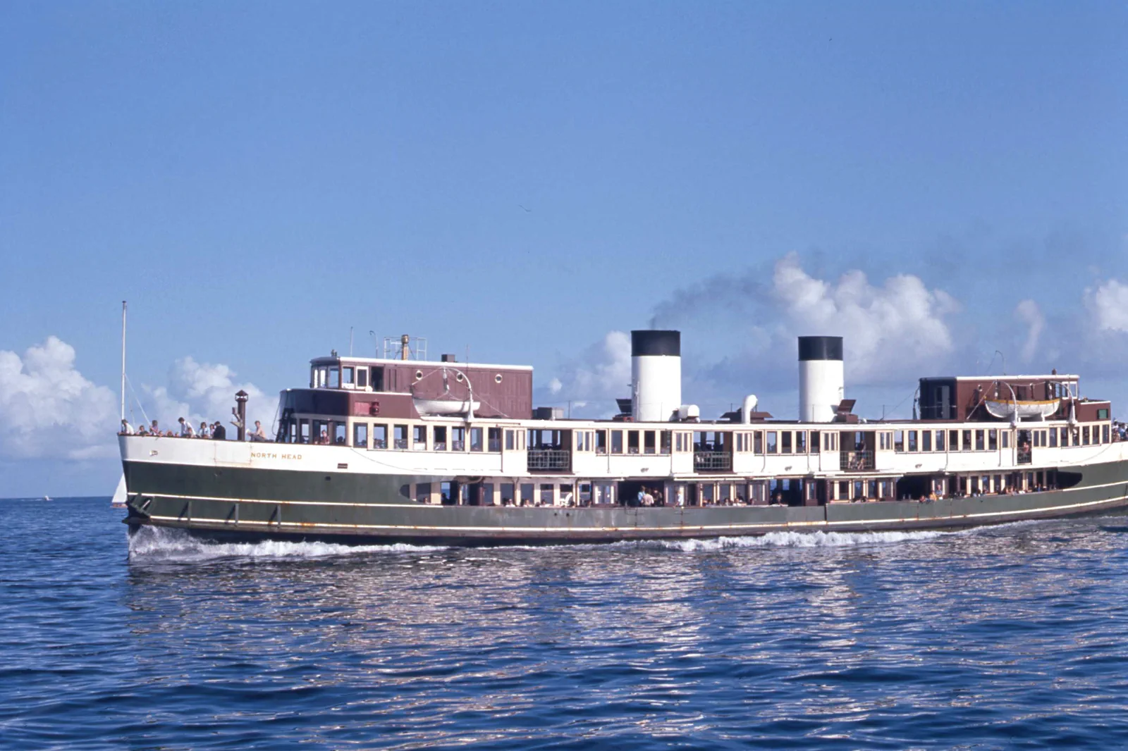
Manly & North Head
Build a Manly ferry day around one ocean-side stop and one verified return; add North Head only with a…
Open the field guide →Barangaroo & Darling Harbour FAQ
Is Barangaroo a continuous waterfront walk to Darling Harbour?
Destination NSW describes the Wulugul Walk as a public waterfront connection, but construction and event diversions can change the usable line. Check the precinct notice and follow signs rather than treating every wharf edge as a promenade.
Which route is easier for a slower-paced group?
The lower foreshore avoids the upper headland climb, but step-free access depends on the current entrance and diversion. Confirm the precise path; if that is unclear, choose one short public section with a known return.
Can I add the Australian National Maritime Museum?
Yes, if you check its current visitor information and allow for its own admission, security and time. Treat it as one interior choice, not a guaranteed extension of the waterfront walk.
Does the hero image show Barangaroo Reserve?
No. It is a licensed dusk view of Sydney’s wider waterfront and CBD from Pyrmont, useful as city context rather than a route map or direct Reserve view.
Official sources and photo credits
Planning facts and image licenses were reviewed on 12 October 2026. Access, weather, transport, fire, marine and operator conditions change; verify directly before travel.
- Destination NSW — Barangaroo and the Wulugul Walk overview.
- Barangaroo — current visitor information, events and cultural tours.
- Transport for NSW — date-specific trip planner and service information.
- Australian National Maritime Museum — visitor information.
- Photo of the Sydney Harbour Bridge from Circular Quay.jpg — JCL888, CC BY-SA 4.0. Resized, display-cropped and converted to WebP; no other material edits.
- Royal Botanic Gardens, Mrs Macquaries Road, Sydney New South Wales 2000, Úc Nhà hát Opera Sydney - panoramio.jpg — trungydang, CC BY 3.0. Resized, display-cropped and converted to WebP; no other material edits.
- 2019-04-10 Sydney CBD view from Pyrmont at sunset.jpg — Maksym Kozlenko, CC BY-SA 4.0. Resized, display-cropped and converted to WebP; no other material edits.
- Sydney (AU), Bondi Beach -- 2019 -- 2354.jpg — Dietmar Rabich, CC BY-SA 4.0. Resized, display-cropped and converted to WebP; no other material edits.
- Sydney Ferry NORTH HEAD en route to Manly at the Heads on Sydney Harbour 20 January 1973.jpg — John Ward, CC BY 4.0. Resized, display-cropped and converted to WebP; no other material edits.