Manly & North Head ferry-to-headland circuit.
Build a Manly ferry day around one ocean-side stop and one verified return; add North Head only with a confirmed last-mile ride or a suitable signed walk and a clear track exit.
Manly Wharf, the Corso and one shore make a contained half-day. North Head requires another access leg and a return margin, so give it a full day.
Fairfax Walk is a short paved loop at North Head; walking from Manly adds distance and slope. Choose by ability and current path status, not by the ferry crossing alone.
Sheltered water and ocean surf are not interchangeable. Make swimming optional after checking the exact beach listing, flags and lifesaver advice.
Separate the wharf, both shores and the headland.
Manly Wharf is a useful ferry arrival, not the entrance to every North Head track. From the Corso, the sheltered harbour edge and ocean beach are close on the map but have different wind, surf and swimming conditions. North Head adds a climb or another transport leg. Choose a relaxed Manly-only day, or reserve the extra time and connection for one headland route.
The ferry connects three different days.
A scenic crossing does not create a continuous step-free loop. Keep the wharf as the return hinge, then choose whether the group has time and mobility for the extra North Head connection.
Cross, choose one shore, reach one loop, return.
Set the crossing
Check the ferry service, wharf, return and alternative in the trip planner before boarding.
Choose one water edge
Walk the Corso to the harbour side or ocean beach; read current conditions before deciding whether to swim.
Add North Head deliberately
If the group has capacity, verify a bus/ride to North Head Scenic Drive or choose the signed approach on foot. Use the open Fairfax Walk to its two lookouts.
Return before the margin disappears
Leave the headland with time for the last mile and the exact service back from Manly Wharf; do not rely on a guessed last ferry.
Three reasons to change the plan.
Ferry or bus change
Wind, maintenance and events can alter services. If the backup does not work for your exact North Head endpoint, make this a Manly-only day.
Cliff and track exposure
The paved Fairfax loop is not the whole headland approach. Heat, fire notices, event closures and track grades change what is suitable.
Surf misread as shelter
Ocean Beach conditions can differ sharply from the harbour. Use Beachsafe and lifesaver directions; clear water or other swimmers do not establish safety.
Access is never implied by proximity.
North Head is protected habitat with Aboriginal cultural places and historic memorial and defence landscapes. Stay on open marked tracks, respect any closed area or cultural instruction, and do not descend toward cliff edges for a photograph. Manly’s beaches are working public spaces: keep clear of lifesaving activity and follow the current patrol and hazard advice.
Four related field chapters.
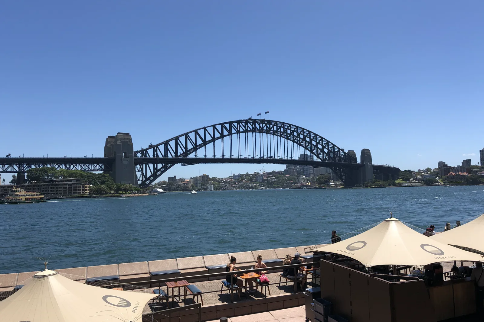
Circular Quay & The Rocks
A walkable Circular Quay–The Rocks circuit that turns ferry wharves, the harbour ridge and public foreshore…
Open the field guide →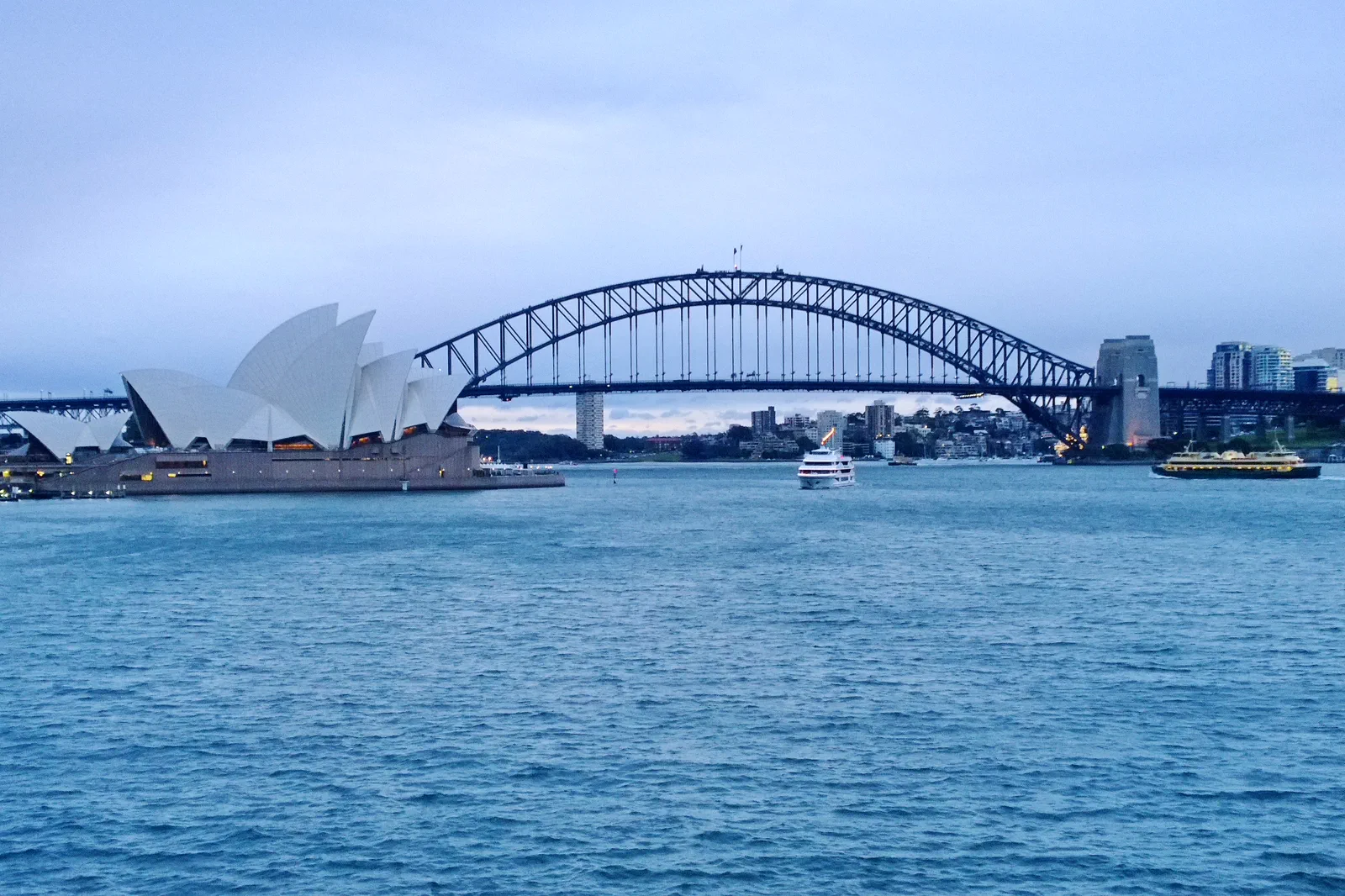
Opera House & Royal Botanic Garden
A half-day pairing of the Sydney Opera House precinct with one Royal Botanic Garden section, organized around…
Open the field guide →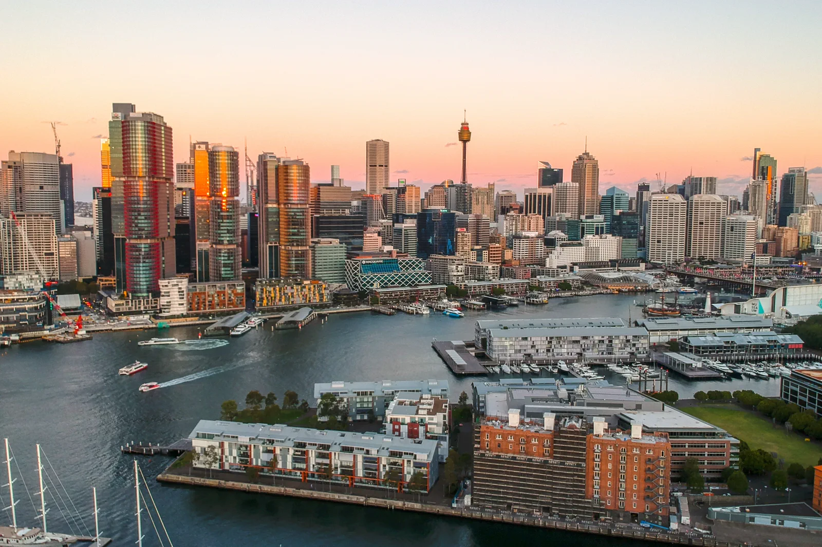
Barangaroo & Darling Harbour
Choose the upper paths of Barangaroo Reserve or the lower Wulugul Walk, then finish at one confirmed Darling…
Open the field guide →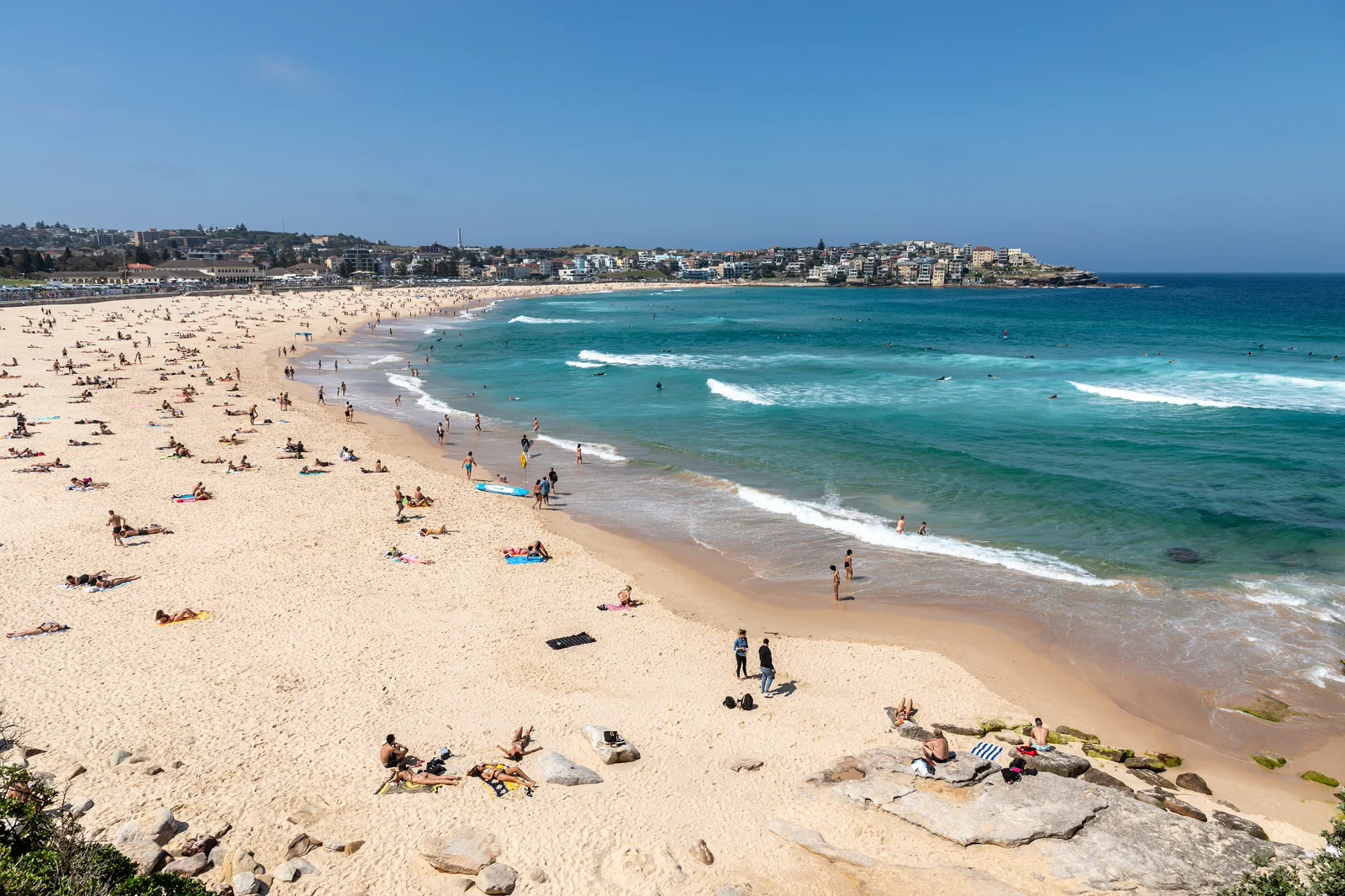
Bondi to Coogee Coastal Walk
The signed Bondi–Tamarama–Bronte–Clovelly–Coogee coastal walk is about 6 km; plan roughly three to five hours…
Open the field guide →Manly & North Head FAQ
Can I walk from the ferry straight to North Head?
You can choose a signed walking route, but the wharf is not at the headland track gate. The approach adds time and slope; compare it with a date-checked bus or ride and keep the return margin.
Is Fairfax Walk suitable for limited mobility?
NPWS describes the 1 km loop as paved and wheelchair accessible. That describes the loop itself, not the journey from Manly Wharf; confirm the ride, drop-off, current alerts and exact path.
Should I swim at the harbour or ocean beach?
Decide at the actual beach, not from the map. Check the current Beachsafe listing and local patrol directions, and skip swimming when conditions or supervision do not fit.
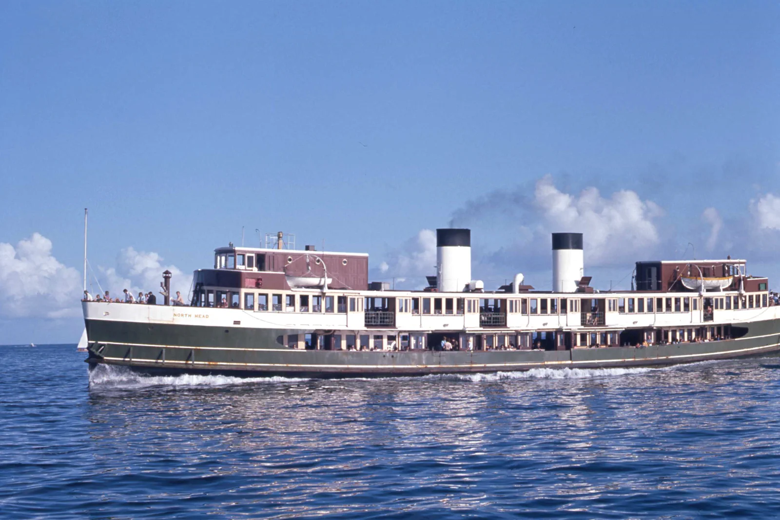
Is the ferry in the hero photo the current boat?
No. The source is a 1973 photograph of the vessel named North Head. Use the Transport for NSW planner for today’s service and vessel information.
Official sources and photo credits
Planning facts and image licenses were reviewed on 12 October 2026. Access, weather, transport, fire, marine and operator conditions change; verify directly before travel.
- Transport for NSW — date-specific trip planner and ferry/bus service information.
- NSW National Parks — North Head visitor information and current alerts.
- NSW National Parks — Fairfax Walk route, grade and accessibility.
- Surf Life Saving Australia — current beach hazards and patrol information.
- NSW National Parks — Sydney Harbour National Park alerts and visitor information.
- Photo of the Sydney Harbour Bridge from Circular Quay.jpg — JCL888, CC BY-SA 4.0. Resized, display-cropped and converted to WebP; no other material edits.
- Royal Botanic Gardens, Mrs Macquaries Road, Sydney New South Wales 2000, Úc Nhà hát Opera Sydney - panoramio.jpg — trungydang, CC BY 3.0. Resized, display-cropped and converted to WebP; no other material edits.
- 2019-04-10 Sydney CBD view from Pyrmont at sunset.jpg — Maksym Kozlenko, CC BY-SA 4.0. Resized, display-cropped and converted to WebP; no other material edits.
- Sydney (AU), Bondi Beach -- 2019 -- 2354.jpg — Dietmar Rabich, CC BY-SA 4.0. Resized, display-cropped and converted to WebP; no other material edits.
- Sydney Ferry NORTH HEAD en route to Manly at the Heads on Sydney Harbour 20 January 1973.jpg — John Ward, CC BY 4.0. Resized, display-cropped and converted to WebP; no other material edits.