Bondi to Coogee Coastal Walk surf and headland exposure.
The signed Bondi–Tamarama–Bronte–Clovelly–Coogee coastal walk is about 6 km; plan roughly three to five hours with stops, an early turnaround option and a checked bus return rather than treating the exposed headlands as a flat city stroll.
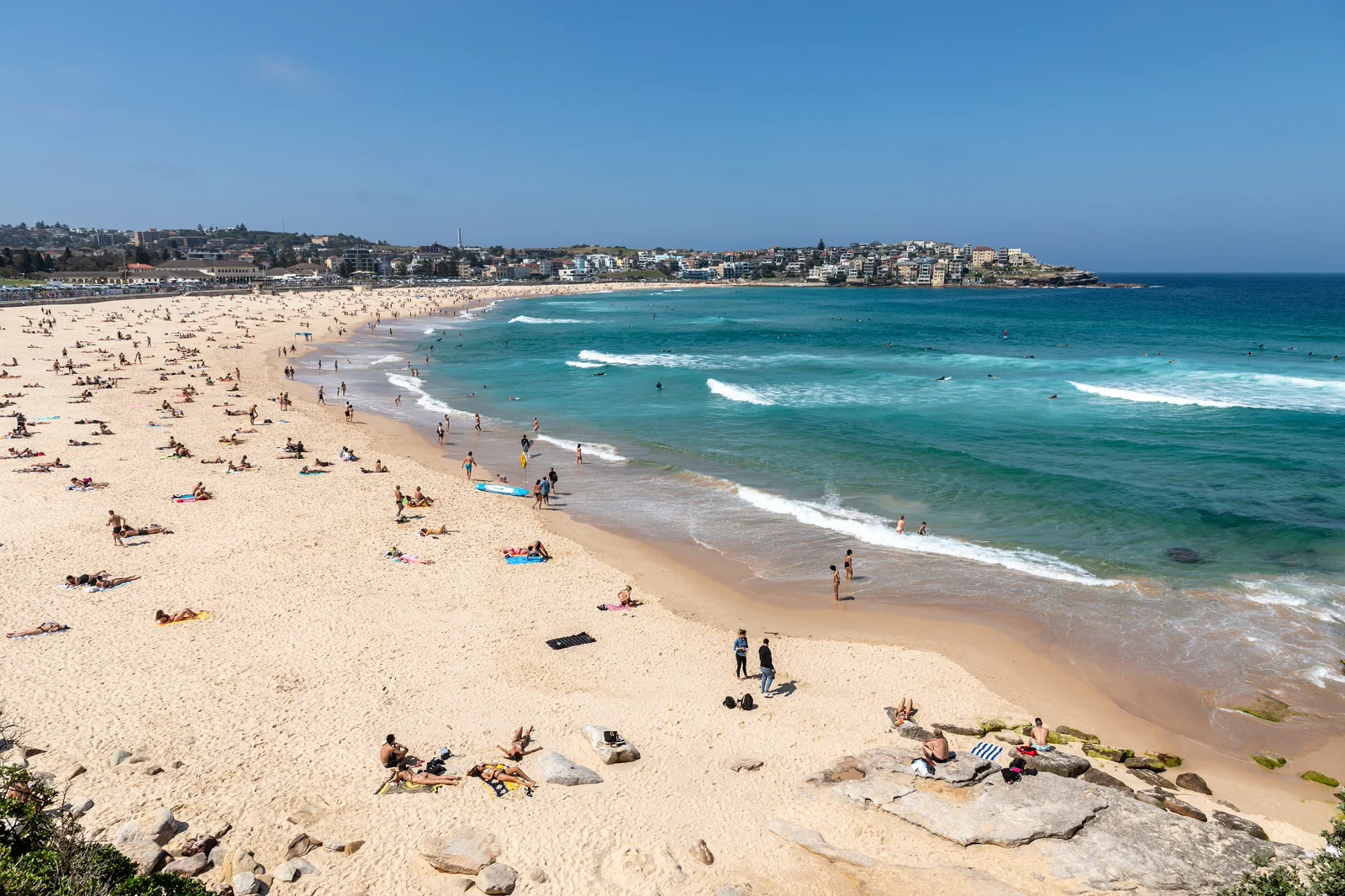
Full Coogee finish or one named bay turnaround; note the return stop before setting off.
Use Beachsafe, the local patrol, UV and weather warnings to decide whether to walk, swim, shorten or reschedule.
Stairs, gradients and exposed sections make this unsuitable as a universal step-free route. Pick one beach precinct if needed.
Choose your finish before the first headland.
The NSW Government describes the Bondi to Coogee route as 6 km and about two hours at a brisk walking pace. That is a route reference, not a promise for a visitor day: stairs, pauses, heat, crowds and the return can extend it. The natural sequence passes Tamarama, Bronte and Clovelly before Coogee. Decide in advance whether you mean to finish the full line or stop at a bay, then check the bus stop and service from that exact endpoint.
Beach check, staged bays, verified exit.
Check conditions at Bondi
Read the current Beachsafe information, local flags and signs; check UV, wind, heat and path notices. Decide whether the day supports a full walk or only the first bay.
Walk to Tamarama and Bronte
Use the signed coastal path and stairs. Pause at public facilities, stay back from the cliff edge and reassess water and energy before continuing.
Make the Clovelly decision
Treat each bay as a real exit. Compare the remaining daylight and group capacity with the last exposed section to Coogee; shorten the route if conditions are deteriorating.
Finish and return from the endpoint
At Coogee or the chosen earlier bay, use the exact bus stop and service checked for that day. Keep an alternate connection and do not depend on finding a ride immediately.
Three reasons to change the plan.
Heat and UV exposure
Shade can be intermittent and ocean glare adds exposure. Carry water and sun protection, and set a conservative stop rule before fatigue affects footing. Follow official heat warnings.
Surf, cliffs and rock platforms
The walk does not make swimming safe. Stay on open paths, obey barriers and patrol instructions, and never use unpatrolled water or rock shelves as a shortcut or photo platform.
Return-service uncertainty
Beach demand, traffic and service changes can stretch the city return. Check alerts, choose a specific endpoint and preserve a second transport option instead of scheduling a timed event afterward.
Access is never implied by proximity.
Stay on the formed coastal path, behind cliff barriers and away from wet rock shelves. Respect memorial spaces and private residential edges, leave surf lifesaving operations unobstructed, and enter the water only at an appropriate patrolled beach when local advice permits.
Four related field chapters.
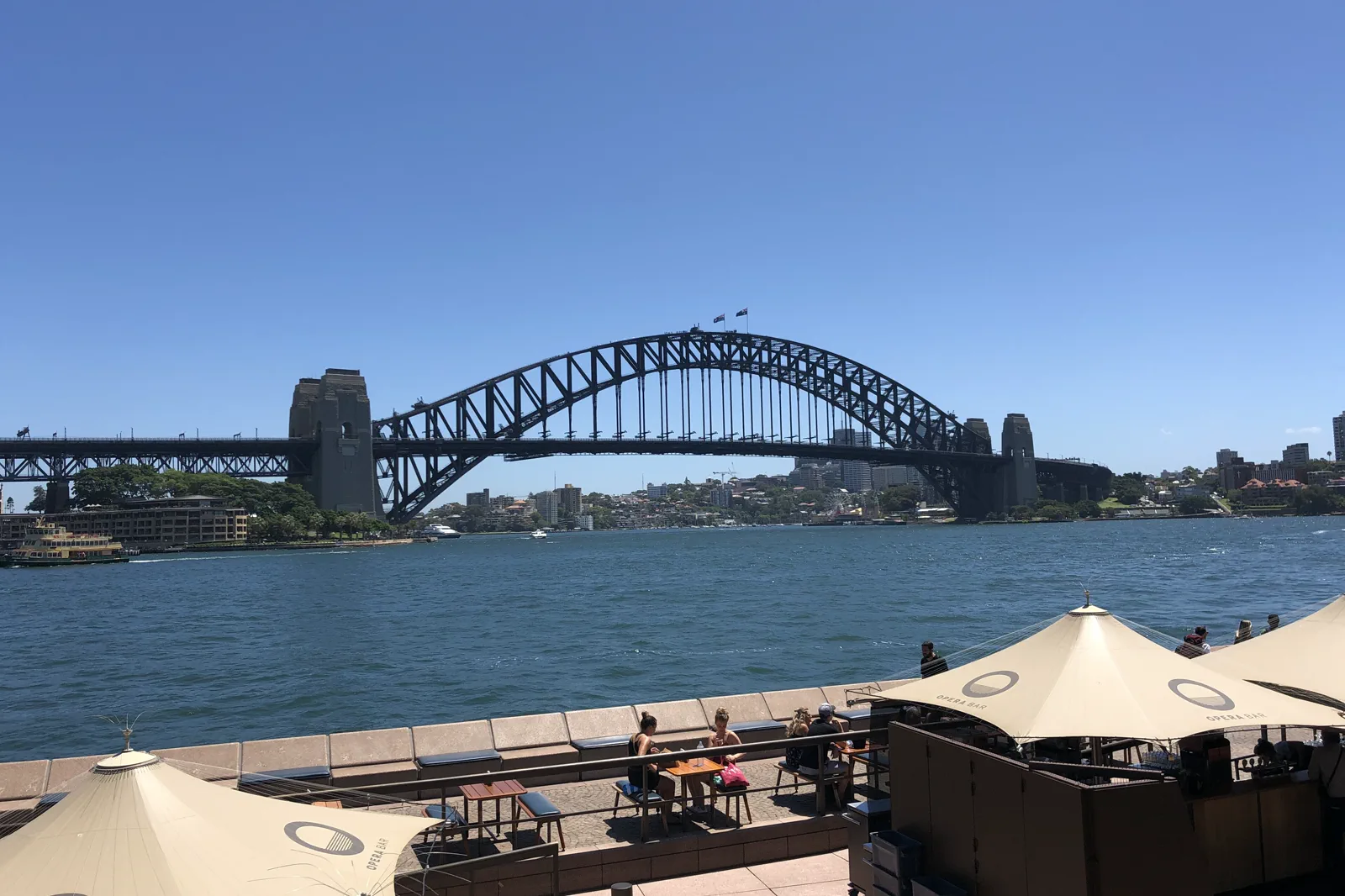
Circular Quay & The Rocks
A walkable Circular Quay–The Rocks circuit that turns ferry wharves, the harbour ridge and public foreshore…
Open the field guide →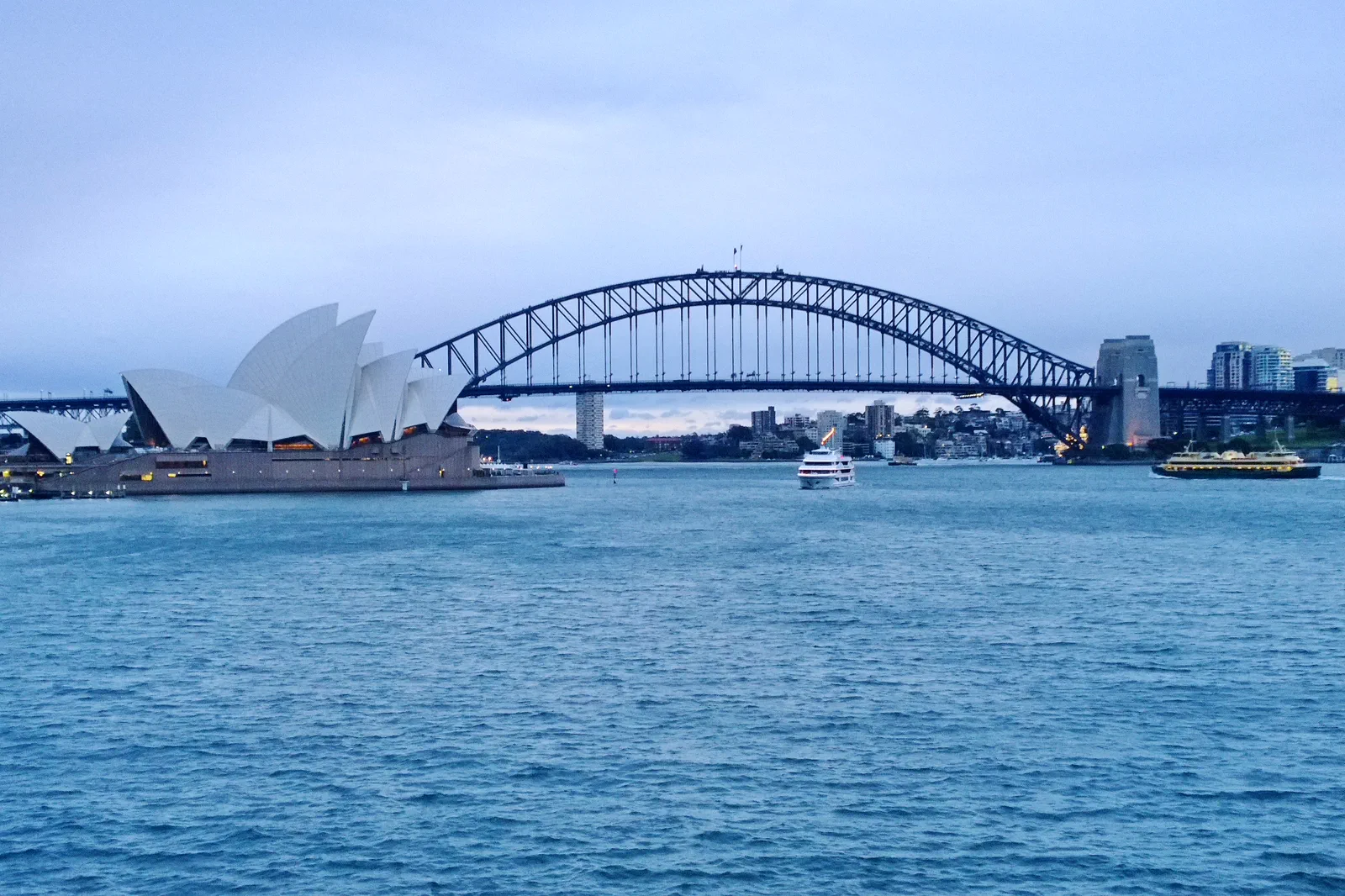
Opera House & Royal Botanic Garden
A half-day pairing of the Sydney Opera House precinct with one Royal Botanic Garden section, organized around…
Open the field guide →
Barangaroo & Darling Harbour
A west-side foreshore walk through headland park, commercial waterfront and Darling Harbour without assuming…
Open the field guide →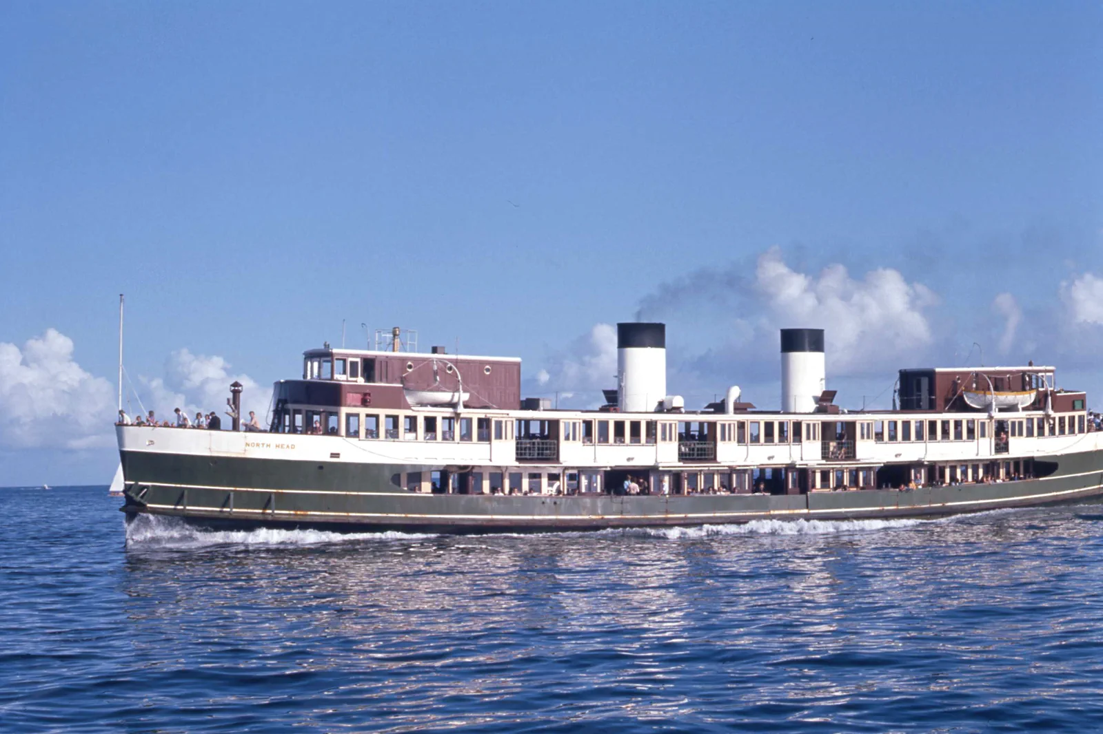
Manly & North Head
A ferry-led day linking Manly’s ocean and harbour sides to North Head, with cliff exposure and the last useful…
Open the field guide →Bondi to Coogee Coastal Walk FAQ
How long is the walk?
The NSW Government lists the route at about 6 km and roughly two hours briskly. For a visitor day with photos, pauses, stairs and transport, allow three to five hours and be ready to shorten it.
Can I stop before Coogee?
Yes. Decide on a named bay or turnaround before leaving and check how you will return from that exact place. Do not continue because the map looks short if the group, weather or daylight says stop.
Is the route accessible for a wheelchair?
Do not assume the full coastal path is step-free: it includes stairs, slopes and uneven sections. Check current local access information, and select a specific beach precinct with confirmed access if the complete route does not fit.
Is it safe to swim along the way?
Swimming is a separate, condition-dependent choice. Check Beachsafe and local signage, swim only where and when patrol advice permits, obey flags, and do not enter rock platforms or unpatrolled water.
Official sources and photo credits
Planning facts and image licenses were reviewed on 12 October 2026. Access, weather, transport, fire, marine and operator conditions change; verify directly before travel.
- NSW Government — Bondi to Coogee Coastal Walk route information.
- Surf Life Saving Australia — Beachsafe patrol and hazard information.
- Australian Bureau of Meteorology — Sydney forecast.
- Transport for NSW — trip planner and service alerts.
- Photo of the Sydney Harbour Bridge from Circular Quay.jpg — JCL888, CC BY-SA 4.0. Resized, display-cropped and converted to WebP; no other material edits.
- Royal Botanic Gardens, Mrs Macquaries Road, Sydney New South Wales 2000, Úc Nhà hát Opera Sydney - panoramio.jpg — trungydang, CC BY 3.0. Resized, display-cropped and converted to WebP; no other material edits.
- 2019-04-10 Sydney CBD view from Pyrmont at sunset.jpg — Maksym Kozlenko, CC BY-SA 4.0. Resized, display-cropped and converted to WebP; no other material edits.
- Sydney (AU), Bondi Beach -- 2019 -- 2354.jpg — Dietmar Rabich, CC BY-SA 4.0. Resized, display-cropped and converted to WebP; no other material edits.
- Sydney Ferry NORTH HEAD en route to Manly at the Heads on Sydney Harbour 20 January 1973.jpg — John Ward, CC BY 4.0. Resized, display-cropped and converted to WebP; no other material edits.