Broome & the Kimberley Make the bed, road status and permission fit before joining the coast to the range.
Broome / Rubibi is a town-and-coast base; it is not a practical bed for every Kimberley excursion. Treat Cable Beach and Roebuck Bay as local choices, the Dampier Peninsula as a separately booked overnight, and the Gibb River Road as a multi-day expedition between the Derby and Kununurra ends. Kununurra and Purnululu need their own east-Kimberley block. These are separate operating areas, not a chain of nearby day trips. The first decision is where you sleep after the last activity: a Broome town or Cable Beach address, an authorised peninsula property, a reserved station or park stay, or Kununurra. Then match each transfer to a real last mile. A town bus or hotel transfer can help around Broome; it does not reach a remote community, gorge, campground or private station. A map pin does not establish permission to enter Country, community land or a closed track. Reviewed 13 October 2026. Main Roads WA explains that Gibb conditions change along the route and directs drivers to its live Travel Map and the separate Shire and parks reports. This review does not certify today’s road opening, river-crossing depth, fire rating, park access, tide window or community permission. If an official status cannot be confirmed for the exact segment, treat that segment as unavailable: do not infer an opening or use a side road as a workaround.
- Useful stay
- Planning estimate: reserve three nights in Broome for arrival, a town/coast day and one weather or tide choice.
- Transfer logic
- Fly into Broome for the west-coast base or into Kununurra for the eastern end; confirm the booked airport-to-bed transfer…
Choose the operating system, then the place.
Every card opens a full route with transport, access, weak points, official sources and visible image provenance.
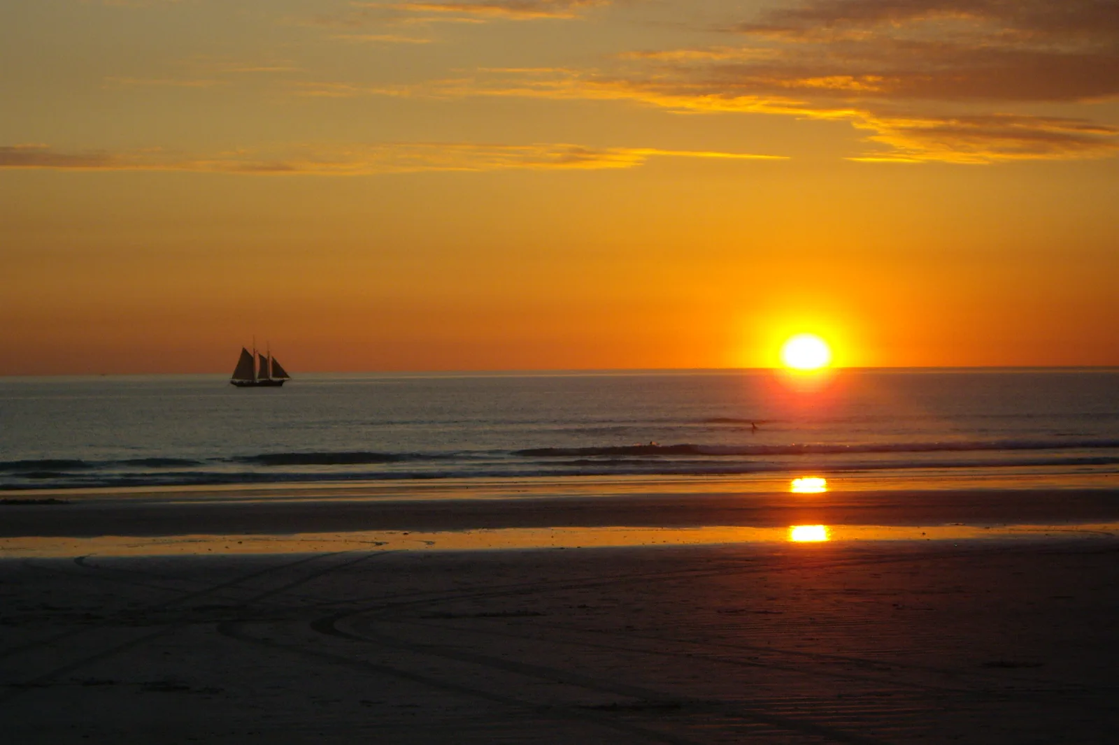
Rubibi / Broome & Cable Beach
Choose a Broome town or Cable Beach base, then connect Chinatown, Yawuru Country interpretation and a tide-timed coast visit without assuming bus stops or intertidal tracks are walk-on access.
Open the field guide →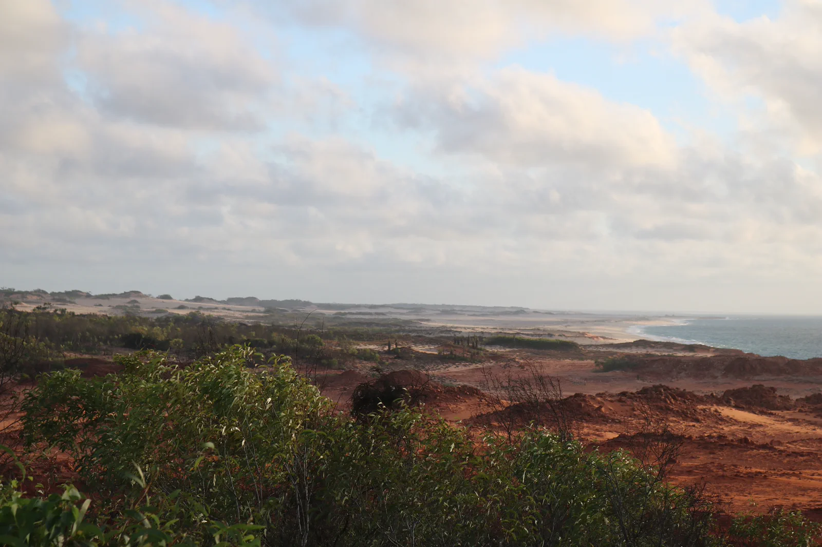
Dampier Peninsula
Build a booked Dampier Peninsula overnight around one named Bardi-led experience and its real driveway, vehicle and community-access rules; do not treat private Native Title land as an open beach drive.
Open the field guide →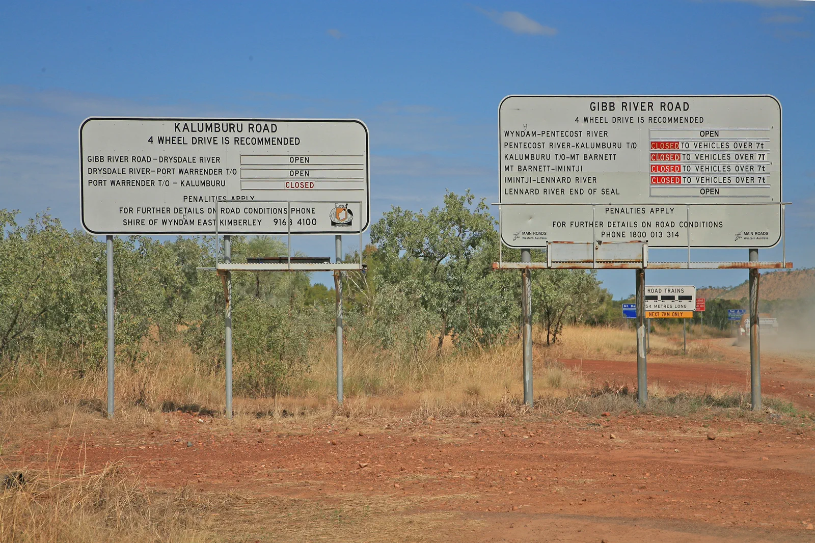
Gibb River Road
Plan the Gibb as a fourteen-day-or-longer booked road expedition between Derby and Kununurra, with separate station nights, vehicle permissions and a hard no-go rule for unknown crossings or fire closures.
Open the field guide →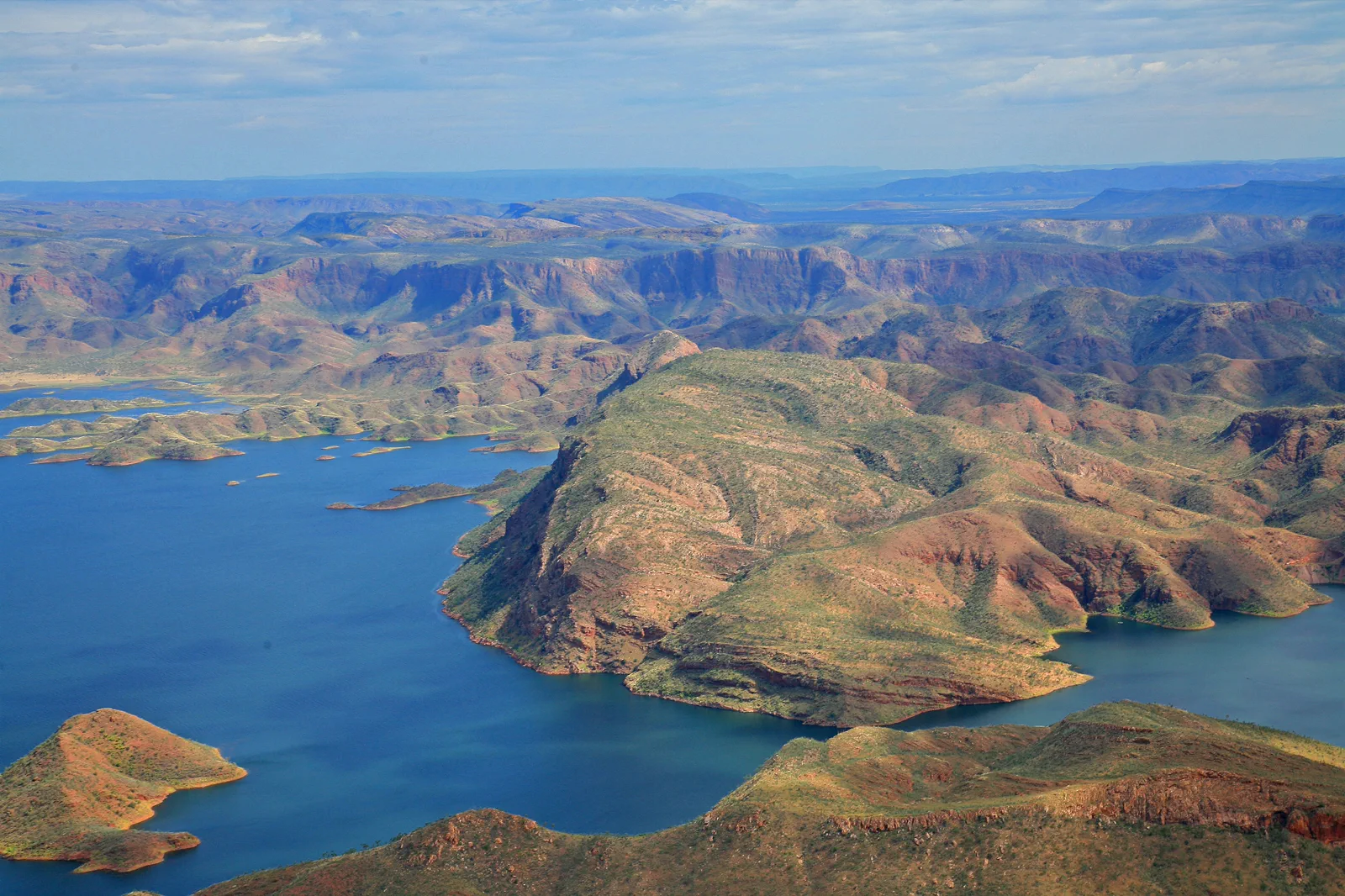
Kununurra & Lake Argyle
An East Kimberley base connecting town services, lake cruise or lookout and Ord landscapes under heat and water-safety controls.
Open the field guide →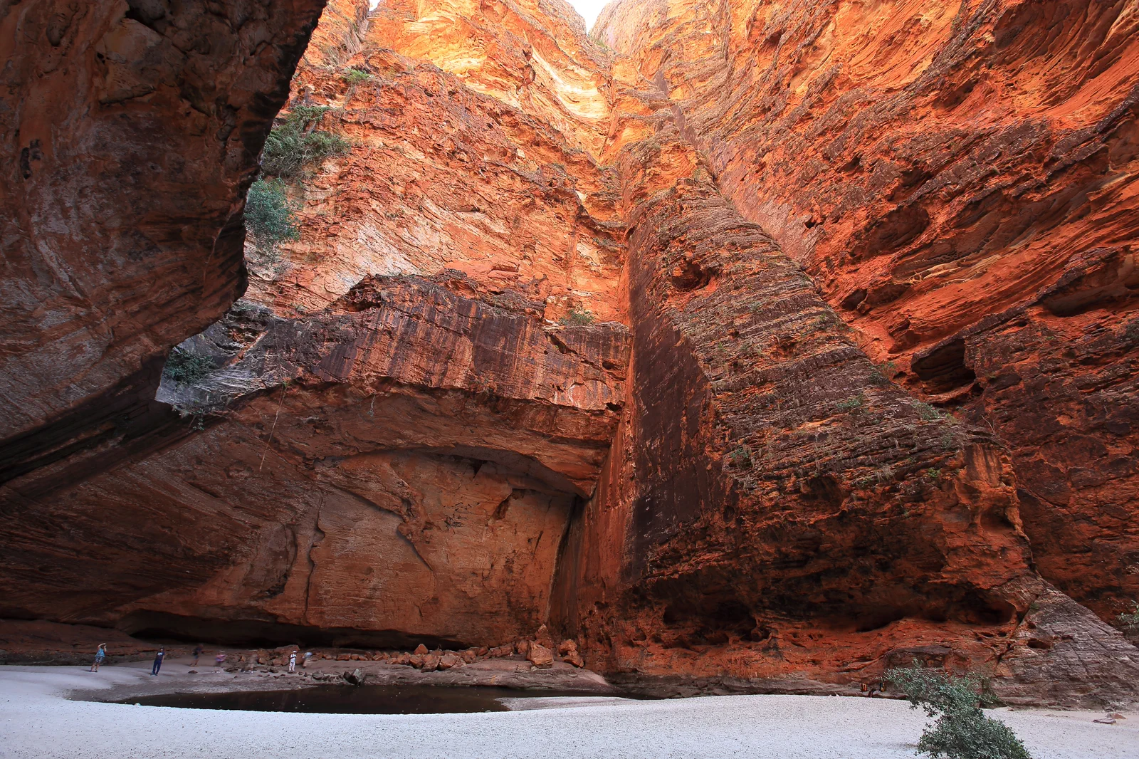
Purnululu / Bungle Bungle Range
A World Heritage remote-park visit requiring a choice between scenic flight and difficult road access, with camp and heat limits made clear.
Open the field guide →Distance is part of the content.
Australia punishes invisible transfer time. These five contracts keep the route honest.
Sleep near the first decision.
Planning estimate: reserve three nights in Broome for arrival, a town/coast day and one weather or tide choice. Add at least one, usually two, nights at a specifically authorised Dampier Peninsula stay rather than driving there and back between booked activities. The Gibb is a separate fourteen-day-or-longer itinerary in regional tourism guidance; book each station or camp stop and add gateway nights at Derby and Kununurra. Give an East Kimberley extension its own Kununurra base and confirmed park nights. Fewer nights mean choosing fewer regions, not longer days.
Name the road, rail, ferry or operator.
Fly into Broome for the west-coast base or into Kununurra for the eastern end; confirm the booked airport-to-bed transfer and any one-way vehicle permission before purchasing. Broome town buses, taxis and hotel transfers are local links, not a Kimberley network. For the peninsula, check the exact driveway and vehicle clearance with the host. For Gibb, use a suitable high-clearance 4WD under the rental contract or a guided tour, then check Main Roads, both Shires, parks, weather, fire and emergency notices. No unknown or closed crossing has a safe assumed bypass.
Permission and guidance come first.
Use recognised Traditional Owner language and visitor guidance. Do not infer access to cultural places, communities or Country from an online pin.
One national forecast is not enough.
Check the local fire, flood, surf, marine, alpine, heat or cyclone condition that actually governs the selected chapter.
Protect the last safe movement.
Every field guide declares a return, turnaround or overnight before adding optional distance.
Do not clear the map in one day.
Rubibi / Broome & Cable Beach
On arrival, collect keys, water and a simple evening meal before deciding whether the beach transfer…
Field 02Dampier Peninsula
Use Broome as the first night and collection point for the vehicle, supplies and confirmed booking.
Field 03Gibb River Road
Reserve the west gateway and the first camp before departure.
Field 04Kununurra & Lake Argyle
Use the booked lake activity early, rest in heat, add one formal lookout or town context and stay…
Field 05Purnululu / Bungle Bungle Range
Enter through the selected mode, use one north or south park sector, follow cultural and track guidance…
A useful route depends on the number of days and the operating system.
These examples group real places and protect the return. Check live services, openings, access and weather before fixing the order.
Broome first
Keep one address in Broome or at Cable Beach. Use the arrival day to settle and confirm the next transfer, then give one full block to town history and a separate block to the coast. Add Gantheaume Point only when the tide table, safe path and local notice agree; high water still leaves the marked cliff-top casts as an option. Use this shape when flights, limited leave or weather make remote driving a poor bargain. It does not include the Dampier Peninsula.
town plus one peninsula host
Keep two or three nights in Broome, then move to a prebooked and authorised peninsula property for at least one night. Cygnet Bay is a named visitor base with its own tours, accommodation and final driveway; contact the operator about the exact vehicle and activity. A local cultural tour is a better fit than an unplanned community visit. The current Visit Broome page says the Kooljaman access road and northern private Native Title area are not open to casual visitors. Do not add that pin or a nearby beach unless its Traditional Owner or operator has explicitly confirmed permission.
Gibb expedition
Treat the fourteen-day regional itinerary as a planning floor for a full route, not a guarantee that every gorge, campground or park is open. Book the west and east gateways and each station stay in sequence; decide where to turn around before leaving town. Main Roads lists a usual dry-season window but says reopening depends on safe crossing levels and repair. Recheck the live map, both Shires and every park access notice. If any segment is closed or unknown, shorten or postpone the trip; do not try an unverified station track.
east Kimberley
Fly or drive to Kununurra as its own base and reserve nights before choosing the lake, Purnululu or another operator. A scenic flight and a road visit are different products with different check-in points, weather holds and cancellation rules. Keep an arrival buffer before a flight, and do not chain a long unsealed drive to an unprotected departure. If a park road or fire notice removes the landscape day, use a confirmed town or operator activity only after the warning and access authority allow travel.
Broome & the Kimberley FAQ
How many nights should I book for Broome and the Kimberley?
Use about three Broome nights for the town, coast and a tide/weather choice. Add one or two nights for a booked Dampier Peninsula experience. Australia’s North West recommends at least fourteen days for the full Gibb River Road experience; that is separate from Broome and from the extra gateway, park or East Kimberley nights. These are planning estimates, not operator promises. Choose fewer regions if you have less time.
Can I use Broome as a base for the Gibb River Road?
No useful day-trip plan starts at Broome and “does the Gibb.” It is a long remote corridor between the Derby and Kununurra ends, with separate park and station access. Choose a guided multi-day tour or plan a suitable vehicle, reserved overnights, fuel and communications. If the live segment status is unknown, do not depart and do not treat another track as a detour.
Where should I sleep: Broome, the peninsula or Kununurra?
Choose Broome for local town services, Cable Beach and the airport connection; choose one authorised peninsula property for its booked experience; choose Kununurra for the East Kimberley. A midpoint hotel does not remove the long drives. Protect a buffer night at the end of a remote section before flights or another vehicle return.
Can I visit every community or beach on a public road?
No. A public road or map marker does not grant entry to community land, private Native Title land, a cultural place or a closed road. Confirm the exact visit, permit, fee, photography rules and last-mile access with the Traditional Owner organisation or named operator. If no one can confirm permission, do not go there.
What if the road, fire or park status cannot be checked?
Treat the segment as closed for planning. Do not infer that it is open from another traveller’s post, an older guide or a nearby route. Follow Emergency WA instructions; wait for an official confirmation or stay with a confirmed town-based plan. There is no safe promised bypass around an unknown river crossing, fire closure or restricted community road.
Can I rely on public transport for the Kimberley?
Local Broome services can help within their current route and operating hours, but they do not connect the peninsula, Gibb gorges or private stays. Check the active timetable and book a taxi, accommodation transfer, hire vehicle or operator pickup for the exact last mile. Kununurra and regional flights have their own check-in and baggage conditions.
Official sources and photo credits
Planning facts and image licenses were reviewed on 13 October 2026. Recheck transport, park, fire, weather, marine and operator conditions before travel.
- Tourism Australia — Broome arrival, local transport and seasons.
- Nyamba Buru Yawuru — Yawuru Country, lands and waters.
- Visit Broome — Dampier Peninsula visitor permissions, community access and current operator details.
- Main Roads WA — Gibb River Road preparation, seasonal opening pattern and responsible road reports.
- Main Roads WA — live road status and restrictions; confirm each segment on travel day.
- Shire of Derby / West Kimberley — local road report.
- Shire of Wyndham / East Kimberley — local road report.
- Bureau of Meteorology — Western Australia forecasts and warnings.
- Emergency WA — current bushfire, cyclone, flood and evacuation warnings.
- DBCA / Explore Parks WA — current park alerts and closures.
- Australia’s North West — Gibb route, bookable stays and itinerary planning.
- Cable Beach, Broome, Western Australia (7070613571).jpg — Travel & Shit from Brighton, UK, CC BY-SA 2.0. Resized, display-cropped and converted to WebP; no other material edits.
- Kooljamin (Cape Leveque).jpg — Warren Poole, CC BY-SA 4.0. Resized, display-cropped and converted to WebP; no other material edits.
- 00 2071 Gibb River Road - Western Australia.jpg — W. Bulach, CC BY-SA 4.0. Resized, display-cropped and converted to WebP; no other material edits.
- 00 2098 Western Australia - Lake Argyle.jpg — W. Bulach, CC BY-SA 4.0. Resized, display-cropped and converted to WebP; no other material edits.
- Bungle Bungle Range Purnululu National Park, Cathedral Gorge.png — Maclearite, CC BY-SA 4.0. Resized, display-cropped and converted to WebP; no other material edits.