Purnululu / Bungle Bungle Range remote park flight-or-road gate.
Purnululu is a reserved park stay or a specifically confirmed flight product. By road, the 53 km unsealed Spring Creek Track, high-clearance 4WD rule, fuel reserve and 47 km between park ends make the northern and southern walks separate operating days.
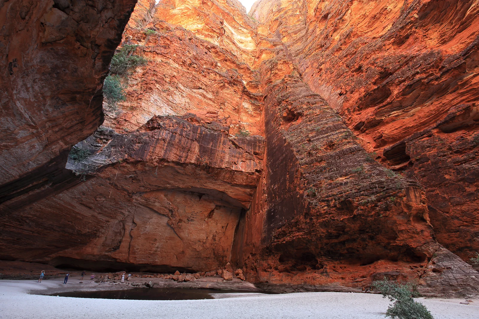
Choose this when you have a suitable, contract-permitted high-clearance 4WD, reserved camp and the time for the Spring Creek Track. It allows signed north or south walks but requires fuel, communications, rough-road preparation and at least two park nights.
Choose this if the goal is an aerial scale view and the operator confirms the route, check-in, landing status, weather cancellation and return. A flyover is not a substitute for the park’s walking areas or camp experience.
Choose Echidna / Kurrajong for northern chasms and palm gorges or Piccaninny Creek / Walardi for southern domes and Cathedral Gorge. The 47 km internal drive makes each a separate field day; skip the other sector when time, heat or access is tight.
Choose a park stay or an aerial view; they are different visits.
Purnululu is a remote World Heritage park with two distinct walking areas, not a scenic detour to add after Kununurra or a Gibb River Road camp. DBCA lists it 304 km by road from Kununurra and 160 km from Halls Creek. From Great Northern Highway, the Spring Creek Track runs 53 km on natural earth and can take 1.5–3 hours depending on conditions; the park requires high-clearance 4WD access. Inside, DBCA says the north and south ends are 47 km and about 80 minutes apart, so “one park day” does not mean both sectors. It recommends at least two nights. A scenic flight can reveal the range from above, but it is not a ground visit: ask the named operator whether the itinerary lands, which walks are included and where you return. For a road stay, choose a north or south camp and build the day around its accessible trails, not a wish list of both ends. The park generally closes during the wet season and can also be affected by weather and road condition. As checked on 13 October 2026, this guide does not assert that a future date or segment is open.
Choose the north or south after the campground, not before it.
The internal road and walking objective both count toward the day. A reserved bed at one end and a morning route there are more useful than a map full of pins.
Gateway night → verified park entry → one end per day → gateway buffer
Secure gateway and camp
Book the town bed and the exact park stay first. Choose the north or south objective only after you know the permitted entry, campground and travel day.
Read every access notice
Check DBCA park alerts, Main Roads, the forecast, fire warnings and the rental contract on departure day. Unknown or closed status means stay at the gateway.
Travel and walk one sector
Carry the park-required water, fuel and communications; follow the visitor-centre and track signs. Select one open north or south walk suited to the least mobile person.
Exit with a buffer
Return to the booked campground before dark. Keep a separate town night before the next long drive, flight or car hand-back; never make the remote track a tight connection.
Three reasons to change the plan.
Track and water crossings
The unsealed approach is rocky, corrugated and crosses creeks; DBCA limits access to high-clearance 4WDs. A usual dry-season pattern does not prove today’s road or crossing. If the exact access is unknown, do not depart.
Heat, distance and no service
DBCA warns that daytime heat can exceed 40°C and that there is no phone service on the approach or inside the park. Carry water and remote communications, walk in cooler hours and stop before heat illness or fatigue begins.
A missed flight, camp or return
Road, weather, park and operator decisions are independent. Keep a gateway night on each side of remote driving, and do not use an unverified station track, second gate or long night drive to recover a cancelled booking.
Access is never implied by proximity.
Purnululu is living Gija and Jaru Country. Stay on open public roads, signed walks and reserved sites; do not approach restricted cultural places, remove rocks, fly a drone without explicit legal authority, or treat a closed gate as a puzzle. Respect campground rules, other visitors and the silence of remote places.
Four related field chapters.
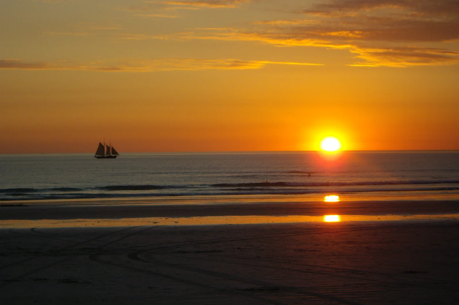
Rubibi / Broome & Cable Beach
Choose a Broome town or Cable Beach base, then connect Chinatown, Yawuru Country interpretation and a…
Open the field guide →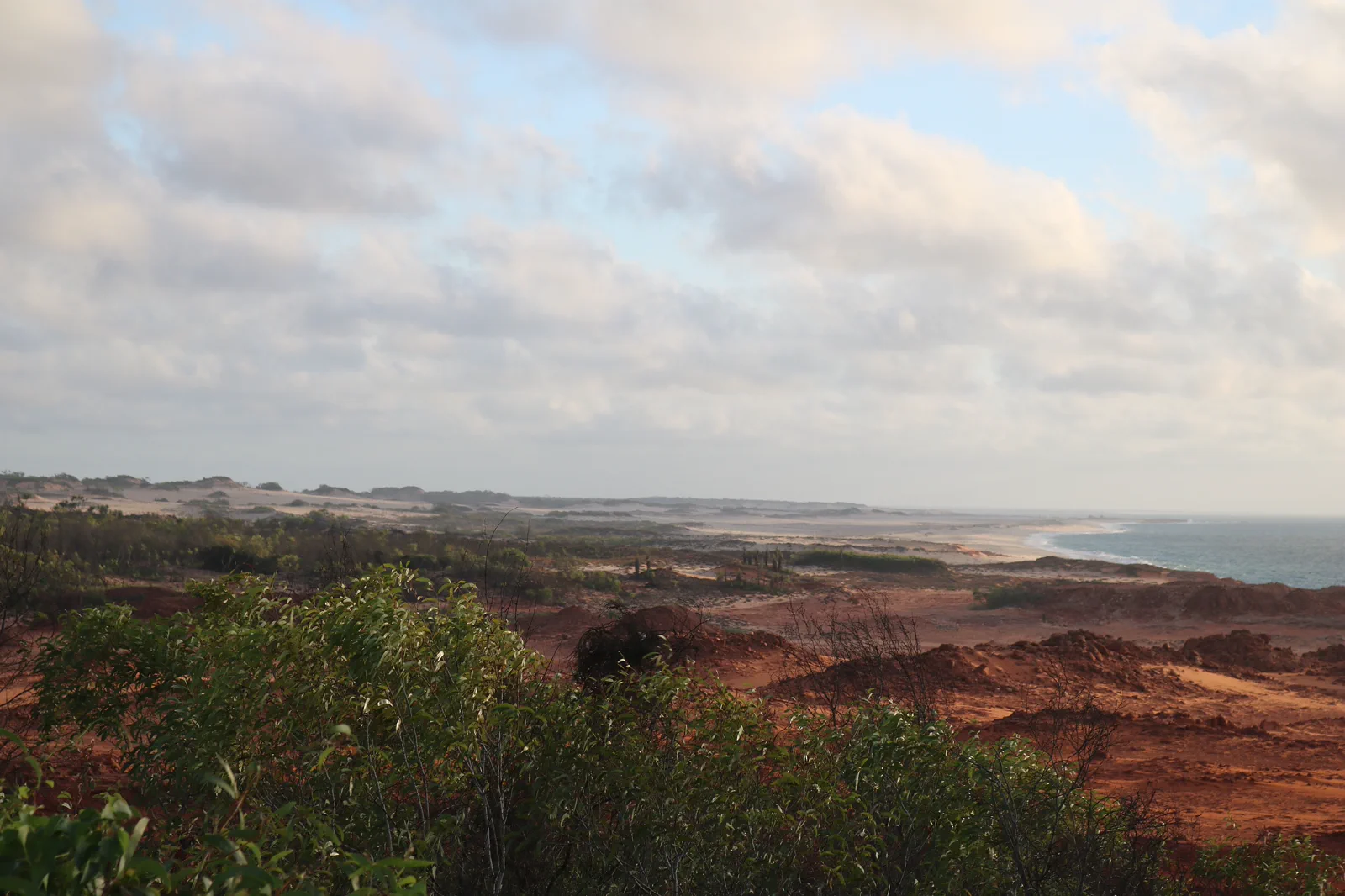
Dampier Peninsula
Build a booked Dampier Peninsula overnight around one named Bardi-led experience and its real driveway,…
Open the field guide →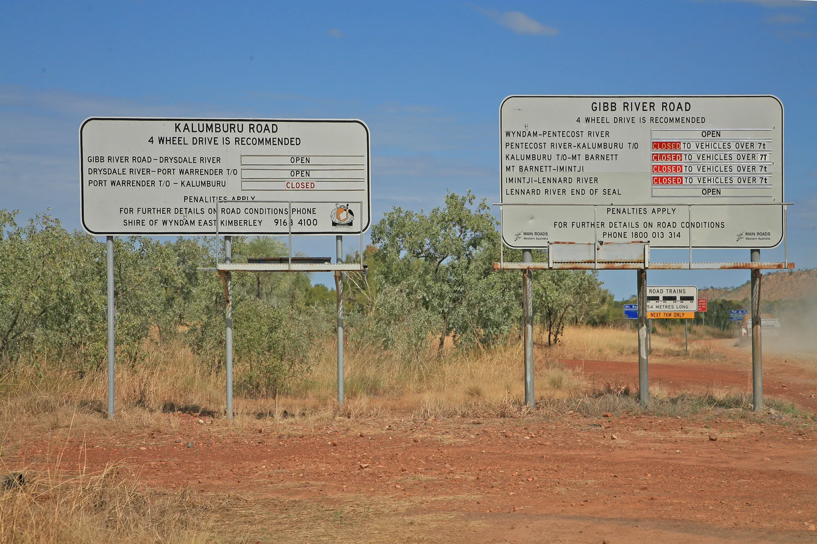
Gibb River Road
Plan the Gibb as a fourteen-day-or-longer booked road expedition between Derby and Kununurra, with separate…
Open the field guide →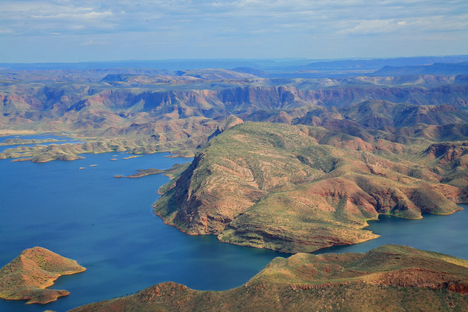
Kununurra & Lake Argyle
Use Kununurra as the East Kimberley service base and choose one separately operated Ord River or Lake Argyle…
Open the field guide →Purnululu / Bungle Bungle Range FAQ
How many nights do I need at Purnululu?
DBCA says to allow at least two nights to appreciate the park. Add a gateway night when driving the remote approach and a buffer before a flight or long onward leg. The north and south trail areas are separated by about 47 km and 80 minutes, so they rarely belong in one walking day.
Can I drive from Kununurra to Purnululu and back in one day?
Do not plan that as a ground visit. DBCA lists 304 km from Kununurra to the park by road, followed by the 53 km Spring Creek Track that may take 1.5–3 hours in road conditions; inside the park the ends are another 47 km apart. A same-day return leaves little daylight for the walks, camp or delay.
Do I need a 4WD?
For the Spring Creek Track, DBCA specifies high-clearance 4WD access. Check the hire contract and the vehicle itself; a “4WD” label alone does not confirm ground clearance, tyres, recovery equipment or rental permission. If anything is uncertain, use a confirmed operator or choose another open destination.
What if the road or park is closed?
Follow the closure and emergency advice. Stay at the booked gateway, contact the operator or park authority, and rebook only after official access is restored. Do not enter through a private station, use a second gate or assume a scenic flight can operate in the same weather.
Can I see the range without camping?
A scenic flight may suit an aerial-view itinerary if the operator confirms its actual route and whether it lands. A flyover does not include the marked walks, visitor-centre context or overnight stay. If the goal is Cathedral Gorge or Echidna Chasm, plan the ground visit with the required road access and nights.
Is there fuel or mobile service inside the park?
DBCA says there is no fuel in the park and no phone service on the drive in or within the park. Its advice includes carrying fuel for at least 300 km and considering a PLB or satellite phone. Confirm the current emergency plan, download maps and tell someone your route before entry.
Official sources and photo credits
Planning facts and image licenses were reviewed on 13 October 2026. Access, weather, transport, fire, marine and operator conditions change; verify directly before travel.
- Explore Parks WA / DBCA — park opening, high-clearance road, fuel, mobile service, tracks and campgrounds.
- DBCA — live park alerts and closures.
- Main Roads WA — live road conditions and restrictions.
- Bureau of Meteorology — Kimberley forecasts and warnings.
- Emergency WA — current fire, flood and evacuation warnings.
- Tourism Australia — Kununurra gateway context.
- Cable Beach, Broome, Western Australia (7070613571).jpg — Travel & Shit from Brighton, UK, CC BY-SA 2.0. Resized, display-cropped and converted to WebP; no other material edits.
- Kooljamin (Cape Leveque).jpg — Warren Poole, CC BY-SA 4.0. Resized, display-cropped and converted to WebP; no other material edits.
- 00 2071 Gibb River Road - Western Australia.jpg — W. Bulach, CC BY-SA 4.0. Resized, display-cropped and converted to WebP; no other material edits.
- 00 2098 Western Australia - Lake Argyle.jpg — W. Bulach, CC BY-SA 4.0. Resized, display-cropped and converted to WebP; no other material edits.
- Bungle Bungle Range Purnululu National Park, Cathedral Gorge.png — Maclearite, CC BY-SA 4.0. Resized, display-cropped and converted to WebP; no other material edits.