Rubibi / Broome & Cable Beach town tide and sunset.
Choose a Broome town or Cable Beach base, then connect Chinatown, Yawuru Country interpretation and a tide-timed coast visit without assuming bus stops or intertidal tracks are walk-on access.
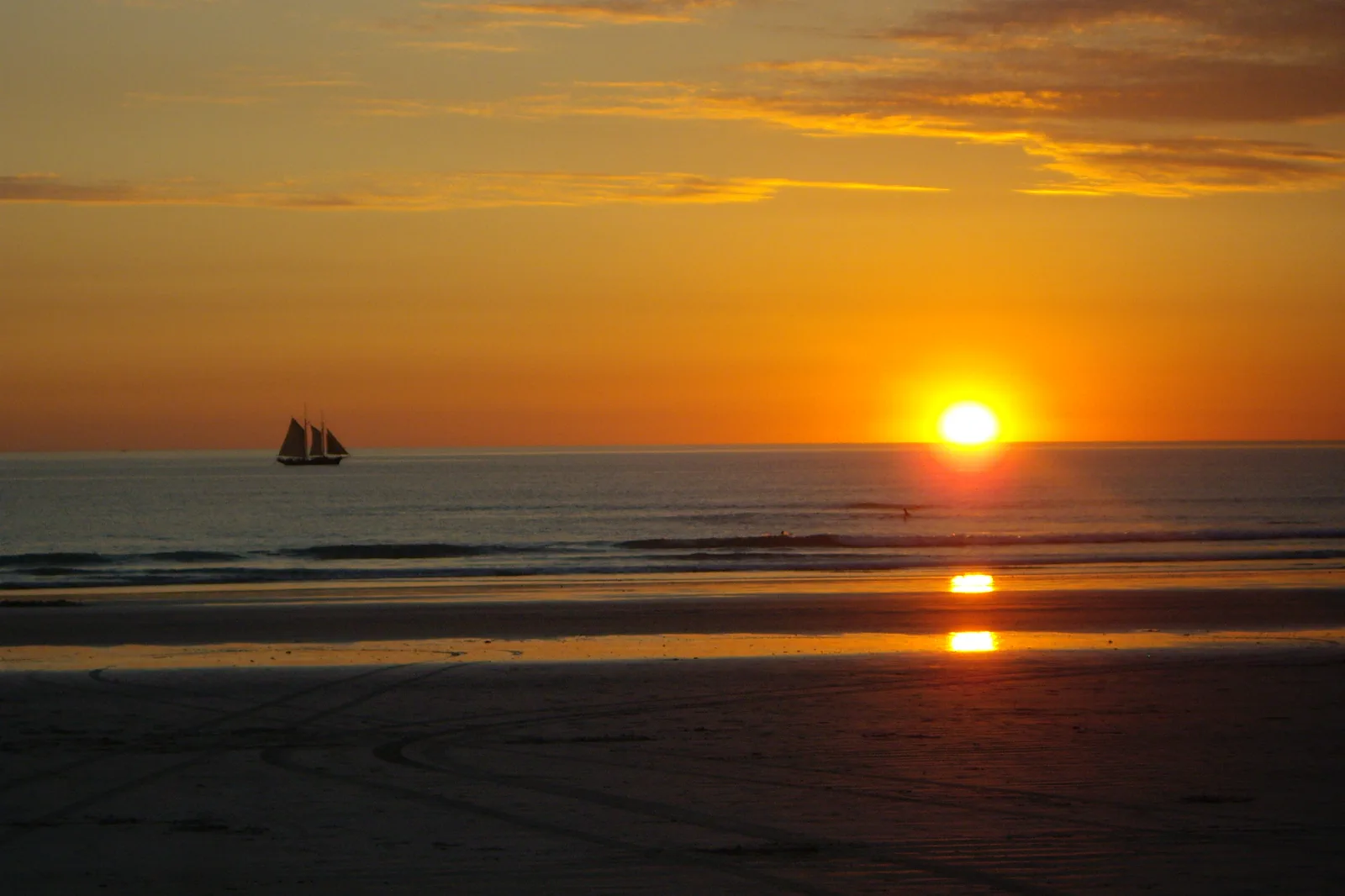
Best when Chinatown, a town museum, Roebuck Bay and easier meal choices anchor the visit. Cable Beach becomes a planned bus or taxi leg; check the final service before settling on a sunset time.
Best for a beach-led morning or sunset without crossing town after every swim. It trades away immediate access to town history, so book the transfer and return before leaving the hotel.
Choose the intertidal footprints only when the BOM tide prediction and current local site instructions agree. If the safe lower path is wet, slippery or restricted, use the signed cliff-top casts or return to town; a low tide is not permission to descend.
Pick the bed that makes the return simple.
Broome’s compact-looking map hides a real choice between a town base and a Cable Beach base. Stay around Chinatown / central Broome when your first day is the town’s pearling and migration history, Yawuru interpretation or Roebuck Bay; that keeps meals and town services near the end of the route. Stay near Cable Beach when sunset and a slower beach morning lead the visit; you will add a current bus, taxi or hotel transfer for town. Three nights at one address is a useful planning estimate: arrive and settle, use a full town day, then hold one coast block for the right tide and forecast. Do not move hotels just to chase a single sunset.
A beach sunset, a tidal flat and a marked walk are not interchangeable.
Use the coast that fits the day’s tide, footing and return ride. The oldest tracks are a conditional field visit; a top-of-cliff cast or town-side shoreline is the lower-commitment alternative.
One base → one town history choice → one coast with a safe return
Set the pickup node
Choose a town or Cable Beach bed. Confirm airport transfer, the active bus stop or taxi pickup, and the last practical return before fixing sunset.
Read Yawuru context
Use a Yawuru source or locally led interpretation, then visit one named town-history stop. Keep a shaded break between the indoor route and the coast.
Choose the shore by conditions
Check the BOM Broome tide table, forecast, Emergency WA warnings and the current local path notice. Use Gantheaume’s signed top path or casts when the lower track is unsafe or unavailable.
Return on the same plan
Leave the beach with enough light and the booked ride still available. Do not extend toward an unfamiliar beach access, vehicle zone or rock shelf at the edge of the tide.
Three reasons to change the plan.
Tide is not a footing clearance
The official 2026 table gives predictions, not an on-site safety check. Local guidance warns that intertidal rocks are slippery and tracks can be covered; if the safe access point or return time is uncertain, stay above the cliff or leave.
Last bus or pickup is missed
A town bus may serve local stops but its date and last departure can change. Pin the stop and return before sunset; if the timetable cannot be confirmed, book a taxi or use a town-based finish.
Heat, wind or beach traffic
Midday exposure, strong wind and signed vehicle areas change the choice. Move the walk to a cooler confirmed window, use a short town-history interior or skip the beach; do not treat a calm-looking sea or empty sand as clearance.
Access is never implied by proximity.
Rubibi and the waters around Broome are Yawuru Country. Use Yawuru sources for names and cultural context; do not treat a view, track, exposed reef or road as permission to enter Country. At Gantheaume Point, follow Traditional Owner path requests and local signs, keep away from unstable edges and do not touch or remove fossils. Beach vehicle access is a separately signed zone; pedestrians, wildlife and vehicles do not share an unmarked safe corridor.
Four related field chapters.
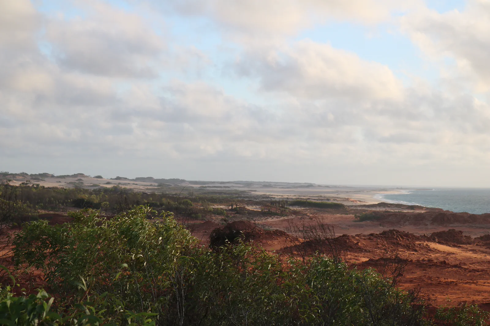
Dampier Peninsula
Build a booked Dampier Peninsula overnight around one named Bardi-led experience and its real driveway,…
Open the field guide →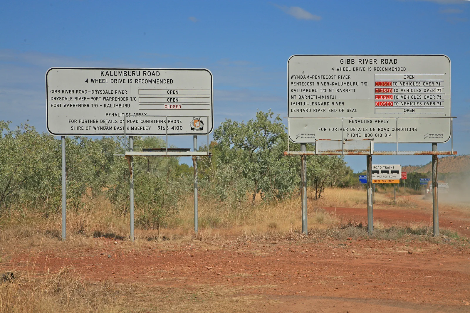
Gibb River Road
Plan the Gibb as a fourteen-day-or-longer booked road expedition between Derby and Kununurra, with separate…
Open the field guide →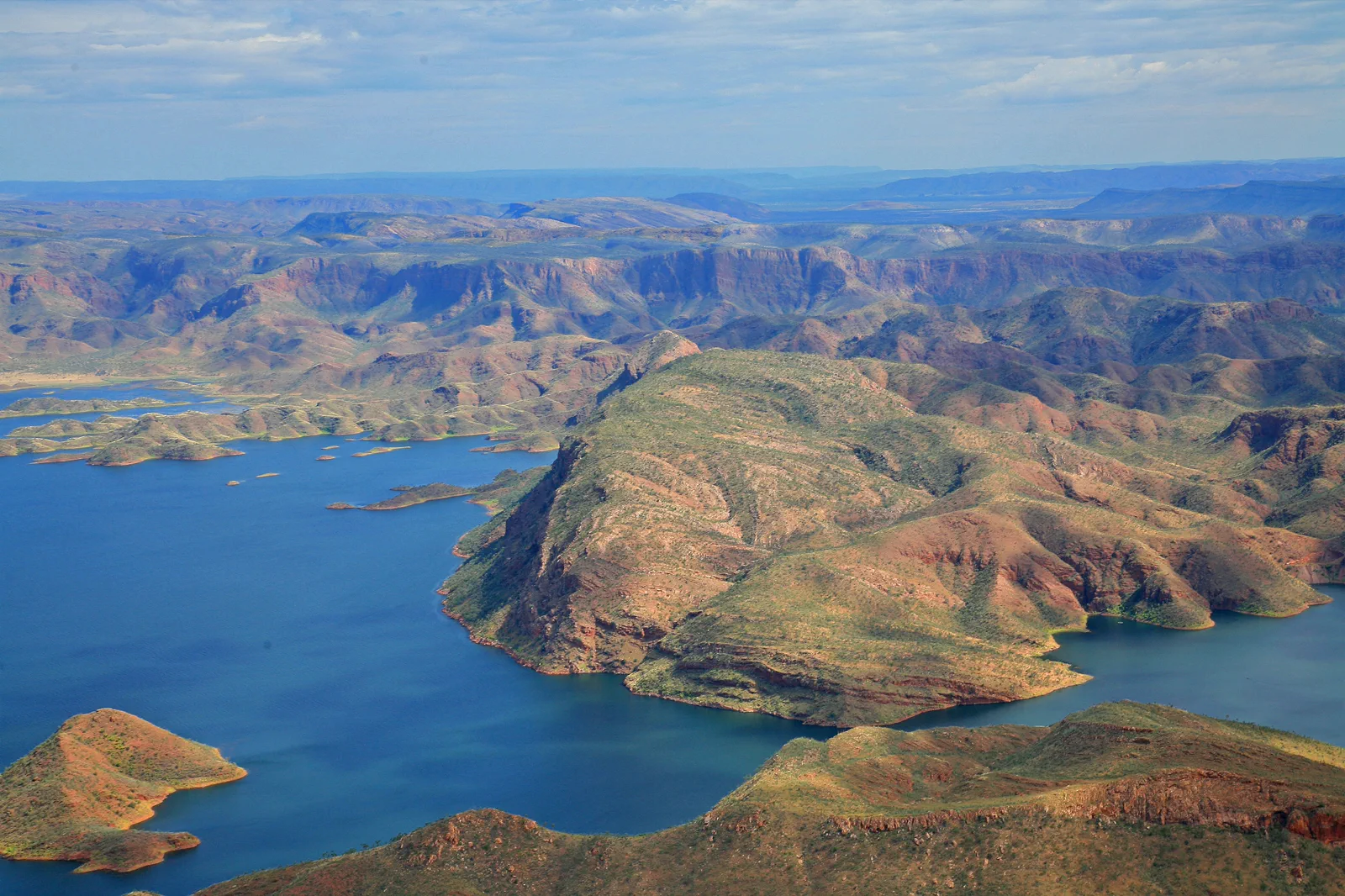
Kununurra & Lake Argyle
An East Kimberley base connecting town services, lake cruise or lookout and Ord landscapes under heat and…
Open the field guide →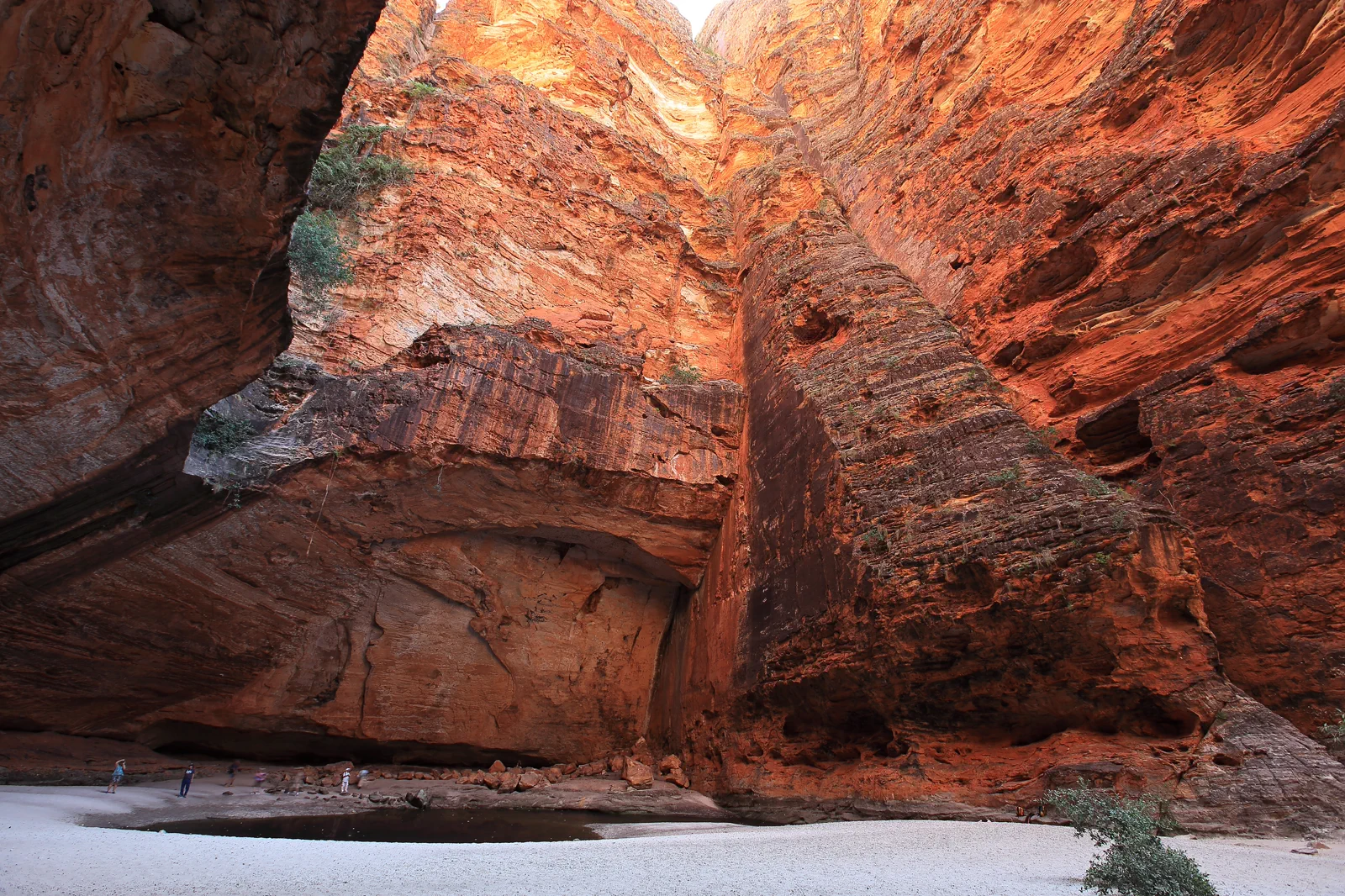
Purnululu / Bungle Bungle Range
A World Heritage remote-park visit requiring a choice between scenic flight and difficult road access, with…
Open the field guide →Rubibi / Broome & Cable Beach FAQ
Should I stay in central Broome or near Cable Beach?
Choose central Broome for Chinatown, town history, Roebuck Bay and local services. Choose Cable Beach if a beach-led morning and sunset are the priority, then confirm the current bus, taxi or hotel return to town. Three nights in one base is a reasonable planning estimate; changing beds for one beach visit costs a useful recovery block.
Can I see dinosaur tracks at Gantheaume Point any day?
No. The local visitor guidance says some tracks are exposed only at low tide and gives a 2.16 m threshold for the relevant access. Check the 2026 Bureau of Meteorology table for the exact date, then check the local path and rock-safety notices. If the lower access is slippery or restricted, view the cliff-top casts or skip the descent.
Does the Broome bus connect my hotel and the beach?
Local buses operate within a changing town network, but the exact route, stop and last departure must match your date and lodging. Pin the stops before leaving. If the live timetable does not provide a dependable return, reserve a taxi or hotel transfer rather than assuming a sunset shuttle.
Can I drive on Cable Beach?
Only in areas and at times allowed by current local signs and conditions. A beach vehicle area is not a pedestrian path; never drive onto wet tidal flats, around people or wildlife, or beyond a closure. If you cannot confirm the authorised access and return, park legally and stay on the public beach approach.
What is the lower-risk plan in high wind or rain?
Keep a confirmed town-history or cultural-interpretation visit as the anchor, take a meal/rest block, and use a shorter signed town route only if conditions allow. Move Cable Beach to another day. A museum, cast or restaurant is a separate choice, not a promise that a coastal path remains open.
Can I add the Dampier Peninsula on the same day?
Not as an unplanned extension. It is a separate, long road leg with named operator check-ins and last-mile access. Sleep in Broome and give the peninsula its own booked day and overnight, or choose a Broome-only route.
Official sources and photo credits
Planning facts and image licenses were reviewed on 13 October 2026. Access, weather, transport, fire, marine and operator conditions change; verify directly before travel.
- Nyamba Buru Yawuru — traditional owners of Rubibi and surrounding lands and waters.
- DBCA — Yawuru Nagulagun / Roebuck Bay Marine Park and Yawuru Country.
- Bureau of Meteorology — 2026 Broome annual tide predictions.
- Visit Broome — tide table links and Broome coastal planning.
- Visit Broome — Gantheaume Point footprints, tide threshold and slippery rocks.
- Tourism Australia — Broome airport, taxi, hotel transfer and local bus context.
- Bureau of Meteorology — Broome local forecast and warnings.
- Emergency WA — current emergency warnings and incidents.
- Cable Beach, Broome, Western Australia (7070613571).jpg — Travel & Shit from Brighton, UK, CC BY-SA 2.0. Resized, display-cropped and converted to WebP; no other material edits.
- Kooljamin (Cape Leveque).jpg — Warren Poole, CC BY-SA 4.0. Resized, display-cropped and converted to WebP; no other material edits.
- 00 2071 Gibb River Road - Western Australia.jpg — W. Bulach, CC BY-SA 4.0. Resized, display-cropped and converted to WebP; no other material edits.
- 00 2098 Western Australia - Lake Argyle.jpg — W. Bulach, CC BY-SA 4.0. Resized, display-cropped and converted to WebP; no other material edits.
- Bungle Bungle Range Purnululu National Park, Cathedral Gorge.png — Maclearite, CC BY-SA 4.0. Resized, display-cropped and converted to WebP; no other material edits.