Dampier Peninsula cultural operator road plan.
Build a booked Dampier Peninsula overnight around one named Bardi-led experience and its real driveway, vehicle and community-access rules; do not treat private Native Title land as an open beach drive.
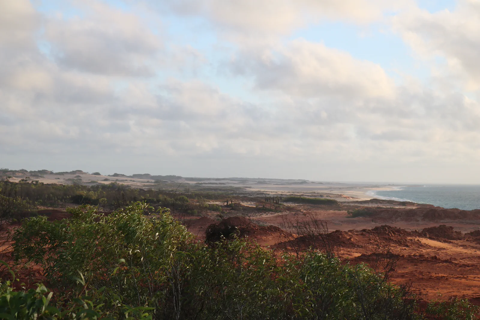
Best for the named pearl-farm and Bardi-led experiences with a confirmed bed and on-site return. It costs an extra night and advance planning, but replaces a long same-day drive with a realistic host-led visit.
Choose a guided day only if its written pickup, inclusions, permitted stops and return time are confirmed. A general tour listing is not permission to visit every community or Cape Leveque; do not add unscheduled stops.
If the host, permit, vehicle or current road cannot be confirmed, skip the peninsula. Use a Yawuru-led or town-based Broome experience and rebook later; do not substitute an unverified beach, private access road or community visit.
Book the host before the road.
This is a peninsula stay with a cultural and coastal host, not a checklist of public beaches north of Broome. The current Visit Broome visitor page names four communities and asks visitors to contact the Visitor Centre about permits and access. It also states that the private Native Title land and four-kilometre access road toward Kooljaman at the northern tip are not accessible to visitors. Do not use an old map pin, previous trip report or open-looking road as permission. A useful published visitor option is Cygnet Bay Pearl Farm: its Borrgoron Coast to Creek and Culture & History tours are led from a Bardi perspective, with accommodation and a restaurant on site. Book the actual experience and bed directly, then ask the operator which route and driveway are open for your vehicle on the date.
An authorised visit is the route instrument.
Permission and the named host determine which landscape can be visited. The unsealed driveway is a last-mile vehicle choice; it is not a signal that the wider coast is public.
Broome check-in → named host → permitted experience → booked overnight
Confirm host and permission
Book the exact Cygnet Bay stay or a named operator tour. Ask which land, track, coast activity and photography rules apply; do not assume the whole peninsula is included.
Connect the vehicle and stay
Check the active road report and host’s driveway condition. Confirm clearance, rental permission, fuel, check-in time and the return transfer before leaving Broome.
Take one led experience
Choose the booked Bardi-led coast-to-creek or culture/history option. Follow the host’s tide, sea, wildlife and Country instructions; do not add an unlisted community stop.
Sleep and close the route
Use the reserved room or campsite and protect daylight for the return. If fire, weather or the road removes access, follow local authority directions and stay put or return only when officials confirm the route is safe.
Three reasons to change the plan.
Private Native Title access
As checked 13 October 2026, Visit Broome marks the Kooljaman access road and northern private Native Title area inaccessible to visitors. Do not enter. If a later status remains unclear, remove it from the itinerary; do not seek a side entrance.
Long drive and last driveway
The visitor centre gives an approximate Broome–Cygnet Bay road leg and says its driveway is unsealed; rain can change access. Confirm the host’s current advice and your vehicle agreement. If unknown, do not leave Broome for that booking.
Tour, sea or fire cancellation
A cultural tour, sea activity and property access may have different operating decisions. The tour cancellation is not permission to self-guide. Follow Emergency WA and the operator, and switch to a Broome town day until the host confirms a new slot.
Access is never implied by proximity.
The Dampier Peninsula is living Aboriginal Country, with distinct Traditional Owner and community authority. Book through the named host, follow its permission, photography and access guidance, stay on the route it approves, and do not enter private Native Title land, community roads, sacred places or closed beaches from a public road. If permission cannot be confirmed, the destination is out of scope for this trip; return to Broome instead of looking for another track.
Four related field chapters.
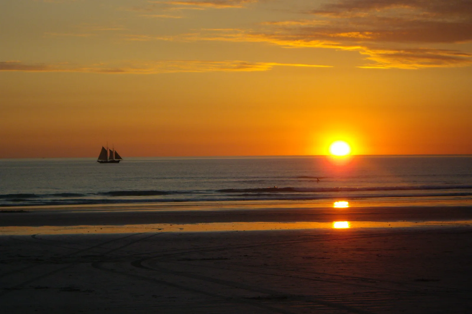
Rubibi / Broome & Cable Beach
Choose a Broome town or Cable Beach base, then connect Chinatown, Yawuru Country interpretation and a…
Open the field guide →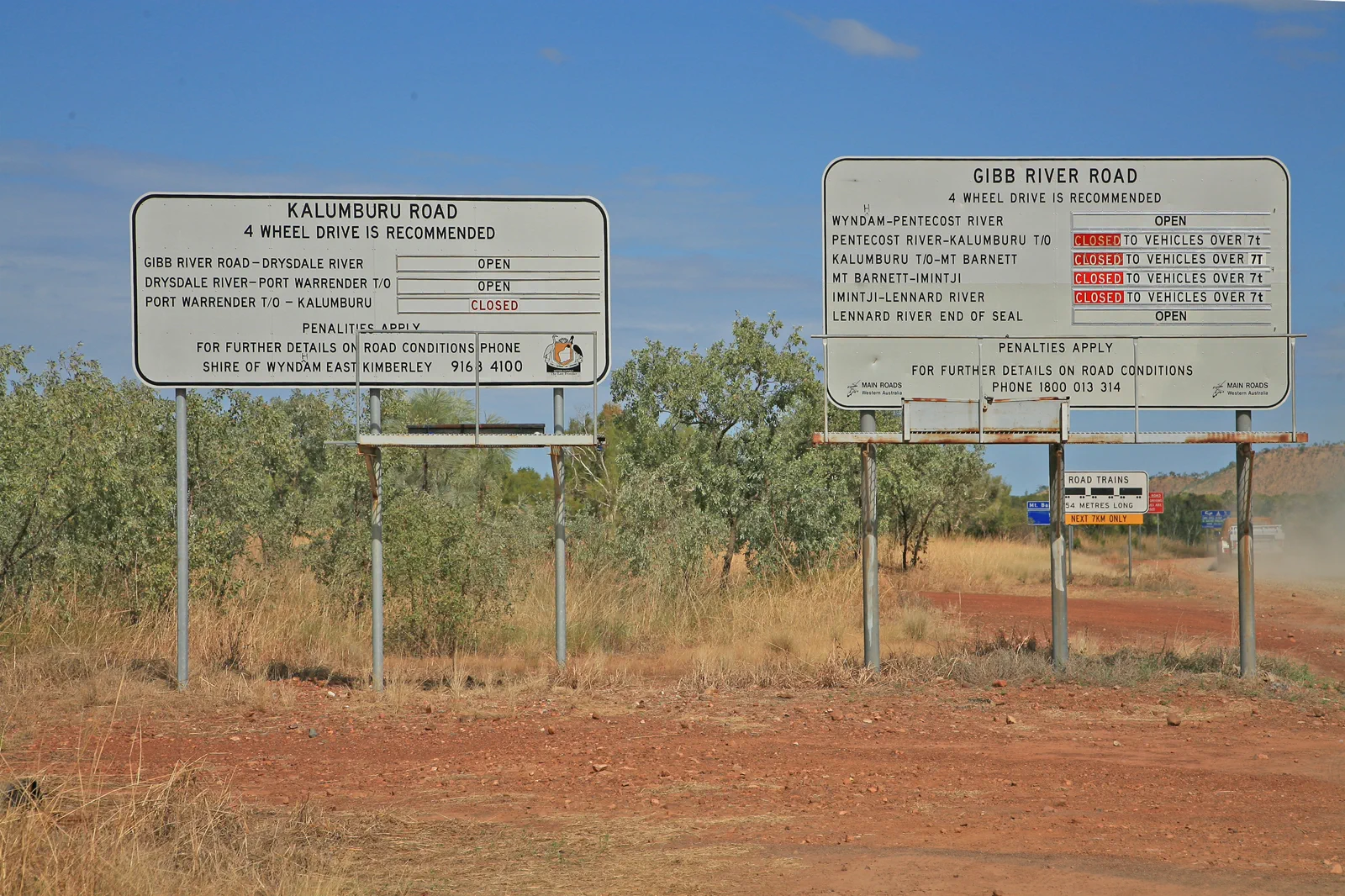
Gibb River Road
Plan the Gibb as a fourteen-day-or-longer booked road expedition between Derby and Kununurra, with separate…
Open the field guide →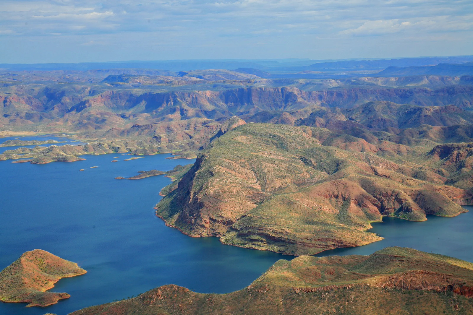
Kununurra & Lake Argyle
An East Kimberley base connecting town services, lake cruise or lookout and Ord landscapes under heat and…
Open the field guide →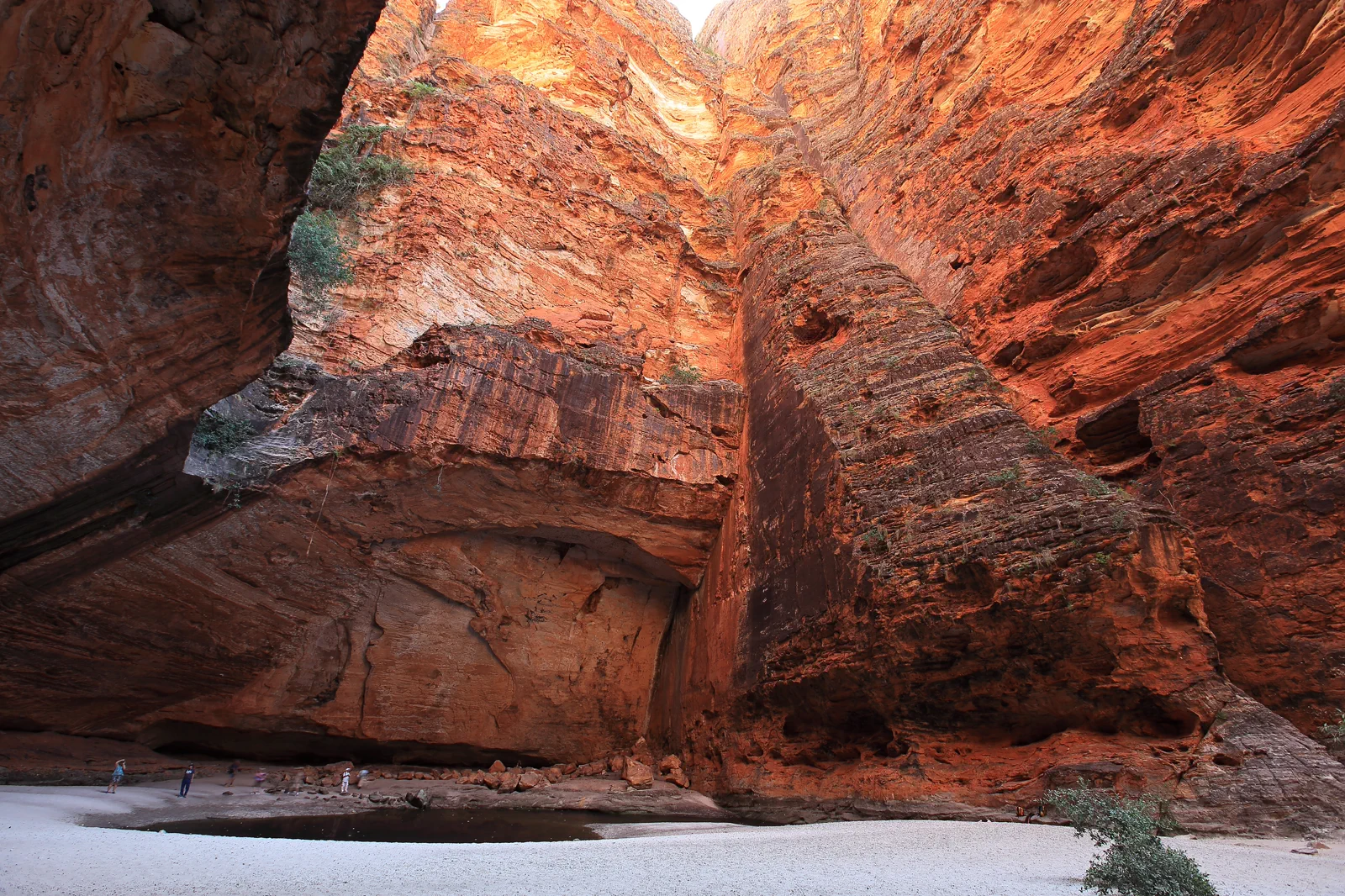
Purnululu / Bungle Bungle Range
A World Heritage remote-park visit requiring a choice between scenic flight and difficult road access, with…
Open the field guide →Dampier Peninsula FAQ
Is Cape Leveque or Kooljaman an open public stop?
The current Visit Broome visitor page checked 13 October 2026 says the northern tip and the access road toward Kooljaman are private Native Title land and not accessible to visitors. Do not drive there from an old guide, a pin or a tour photo. Ask the relevant Traditional Owner or current operator if a status changes; until then, leave it out.
Can I drive from Broome to Cygnet Bay for the day?
The visitor page estimates about 200 km and roughly 2.5 hours each way before a tour, check-in, stops or road delay. A day visit is only sensible with a booked experience and confirmed vehicle/return plan; the better default is one night on site. Ask the host about the final unsealed driveway and clearance for your exact vehicle.
Do I need a 4WD?
Visit Broome’s current listing says the main road to Ardyaloon is sealed and some Cygnet Bay stays are reachable by a 2WD with reasonable clearance, but the last driveway is unsealed and one remote camping area has a separate 4WD requirement. This does not cover every road or property. Check your booking, rental contract and host advice before departure.
Can I visit a community without booking?
Do not assume so. Confirm the exact community, operator, permit or access pass, opening and photography guidance with the local authority or host. If the answer is unavailable, skip that visit and stay with the booked itinerary.
What is the alternative if the road or tour is unknown?
Keep the night in Broome and choose a confirmed town or Yawuru-led experience. Do not drive partway and search for a different beach, community track or private driveway. Resume only after the operator and road authority confirm access.
Should I add the Gibb River Road after this visit?
Not on the same day. The Gibb is a separate multi-day road itinerary with its own gateways, accommodation, vehicle, park access and seasonal status. Protect the Broome return or an extra overnight before transferring to Derby or Kununurra.
Official sources and photo credits
Planning facts and image licenses were reviewed on 13 October 2026. Access, weather, transport, fire, marine and operator conditions change; verify directly before travel.
- Visit Broome — community access, permits, current Cygnet Bay experience and restricted Kooljaman access.
- Cygnet Bay Pearl Farm — first-party tours, stay, opening and contact details.
- Australia’s North West — peninsula season, accommodation and advance bookings.
- Main Roads WA — Cape Leveque Road and current travel map.
- Shire of Derby / West Kimberley — local road report.
- Bureau of Meteorology — local forecast and warnings.
- Emergency WA — current fire, cyclone, flood and evacuation notices.
- Cable Beach, Broome, Western Australia (7070613571).jpg — Travel & Shit from Brighton, UK, CC BY-SA 2.0. Resized, display-cropped and converted to WebP; no other material edits.
- Kooljamin (Cape Leveque).jpg — Warren Poole, CC BY-SA 4.0. Resized, display-cropped and converted to WebP; no other material edits.
- 00 2071 Gibb River Road - Western Australia.jpg — W. Bulach, CC BY-SA 4.0. Resized, display-cropped and converted to WebP; no other material edits.
- 00 2098 Western Australia - Lake Argyle.jpg — W. Bulach, CC BY-SA 4.0. Resized, display-cropped and converted to WebP; no other material edits.
- Bungle Bungle Range Purnululu National Park, Cathedral Gorge.png — Maclearite, CC BY-SA 4.0. Resized, display-cropped and converted to WebP; no other material edits.