Gibb River Road remote expedition ledger.
Plan the Gibb as a fourteen-day-or-longer booked road expedition between Derby and Kununurra, with separate station nights, vehicle permissions and a hard no-go rule for unknown crossings or fire closures.
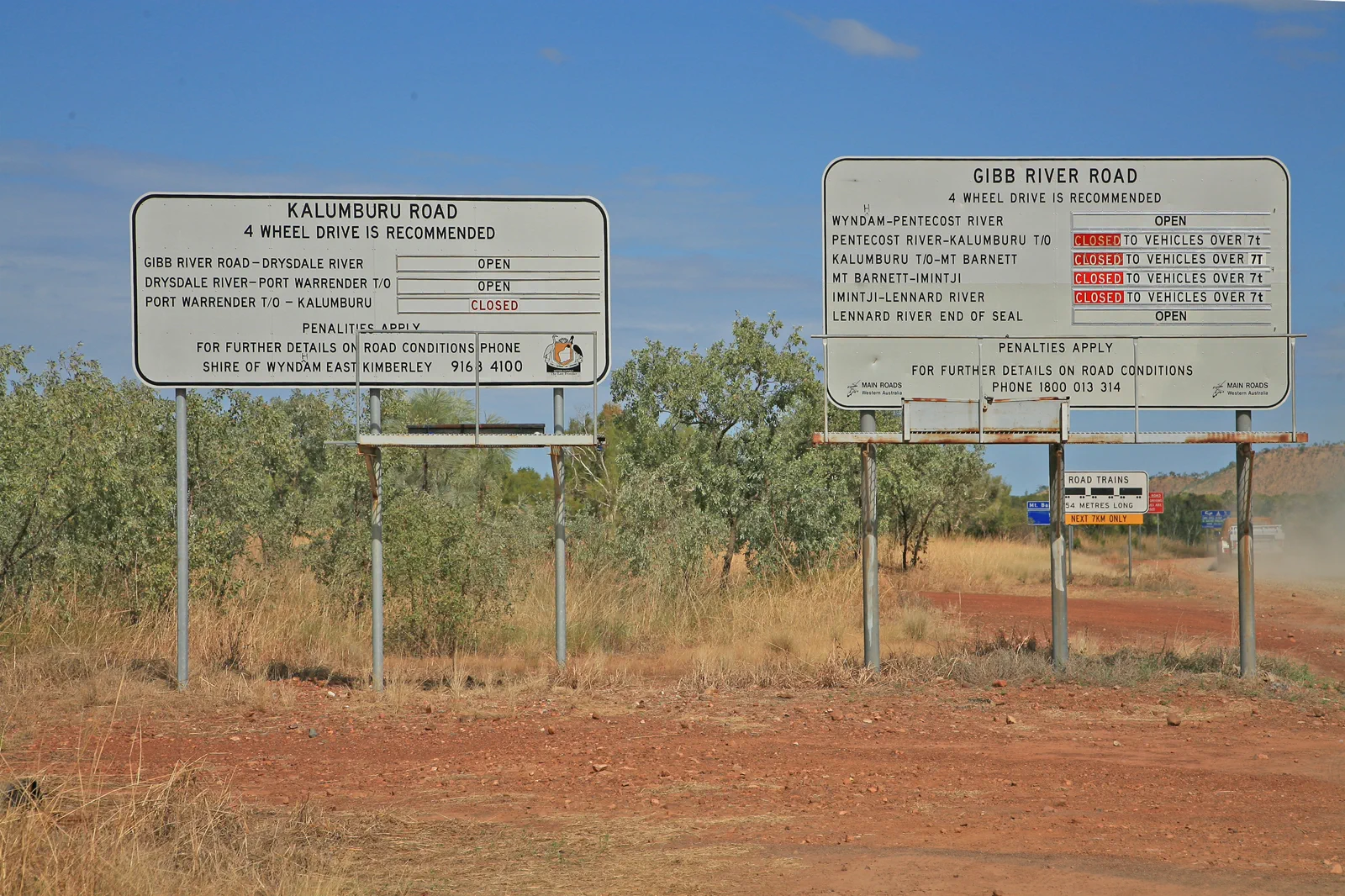
Choose this when the driver, high-clearance 4WD, recovery plan and road-specific rental permission are settled. You gain flexible camp timing but assume mechanical, communications and closure decisions yourself.
Choose a multi-day licensed operator if you prefer a driver, route updates and booked accommodation in one plan. Check the exact gorge inclusions, group walking level, camping style, luggage limit and cancellation response before paying.
Choose neither self-drive nor a guessed detour when the live map, Shire or park access cannot be read. Stay at the confirmed gateway, follow emergency instructions, or rebook after official clearance.
Build the sleep-and-fuel line before the gorge list.
The Gibb is a remote corridor between the Derby side and the Kununurra side, not a scenic road to sample from Broome in one long day. Main Roads WA reports rapidly changing conditions, unsealed and corrugated sections, variable floodways, and an annual dry-season reopening that depends on safe crossings and repair. Its typical seasonal window is May to November, but that pattern is not today’s permission to travel. Regional tourism guidance recommends at least fourteen days to experience the route; this is a planning estimate for a stop-led trip, not an operator itinerary or guarantee that every attraction is open. Choose a guided tour if you do not have remote-road experience or a vehicle contract that expressly permits the road. Self-drivers must reserve each station or campground, confirm fuel and water, and have a turnaround point before leaving Derby.
The road is the itinerary’s limiting resource.
At each stop, choose one walk only after the access, water crossing, heat and next overnight are known. Losing one gorge is preferable to losing the safe return.
Derby gateway → authorised west stops → reserved station bases → Kununurra gateway
Prepare at Derby
Buy supplies, confirm fuel and stay bookings, load offline maps and recheck Main Roads, Derby Shire, DBCA, BOM and Emergency WA. If any source cannot confirm the west segment, wait.
Choose one western block
Use only open and permitted Windjana / Tunnel Creek / Wunaamin Miliwundi access. Keep the day short enough to reach the booked camp in daylight; do not stack closed or distant sites.
Advance by booked bases
Confirm each station, fuel point, gorge entry, park fee and river-crossing status before leaving the previous overnight. Drive to the road surface and stop for unknown water.
Close in the east
Reach the reserved Kununurra bed before another remote activity or flight. Keep an extra night for a delay; do not use an unverified side road to make a connection.
Three reasons to change the plan.
Seasonal opening is not a live clearance
Main Roads says the road is commonly closed in the wet season and normally opens in the dry season only after crossings and repairs are safe. On 13 October 2026 this page does not certify a current open segment, access restriction or crossing depth. If status is unknown, do not depart.
Fire, heat or park closure
Check Emergency WA, BOM and every DBCA alert for the exact segment. A park closure or emergency warning removes that stop; do not enter from a second gate or continue toward smoke. Use a confirmed gateway stay and resume only on official advice.
Vehicle, fuel or communications failure
Corrugations, punctures and sparse services can turn a small issue into a long delay. Carry the equipment and fuel plan recommended for the vehicle, share an itinerary and use emergency communications suited to the route. If your hire terms, reserves or comms are unclear, take a guided tour or postpone.
Access is never implied by proximity.
This route crosses Traditional Owner Country, pastoral leases, parks and private stations with different rules. Main Roads says the land beside unsealed roads may be private property. Stay on the public road and explicitly permitted visitor tracks; use named park passes and booked station access, follow cultural closures and do not enter a community, artwork site, closed crossing or private driveway without permission.
Four related field chapters.
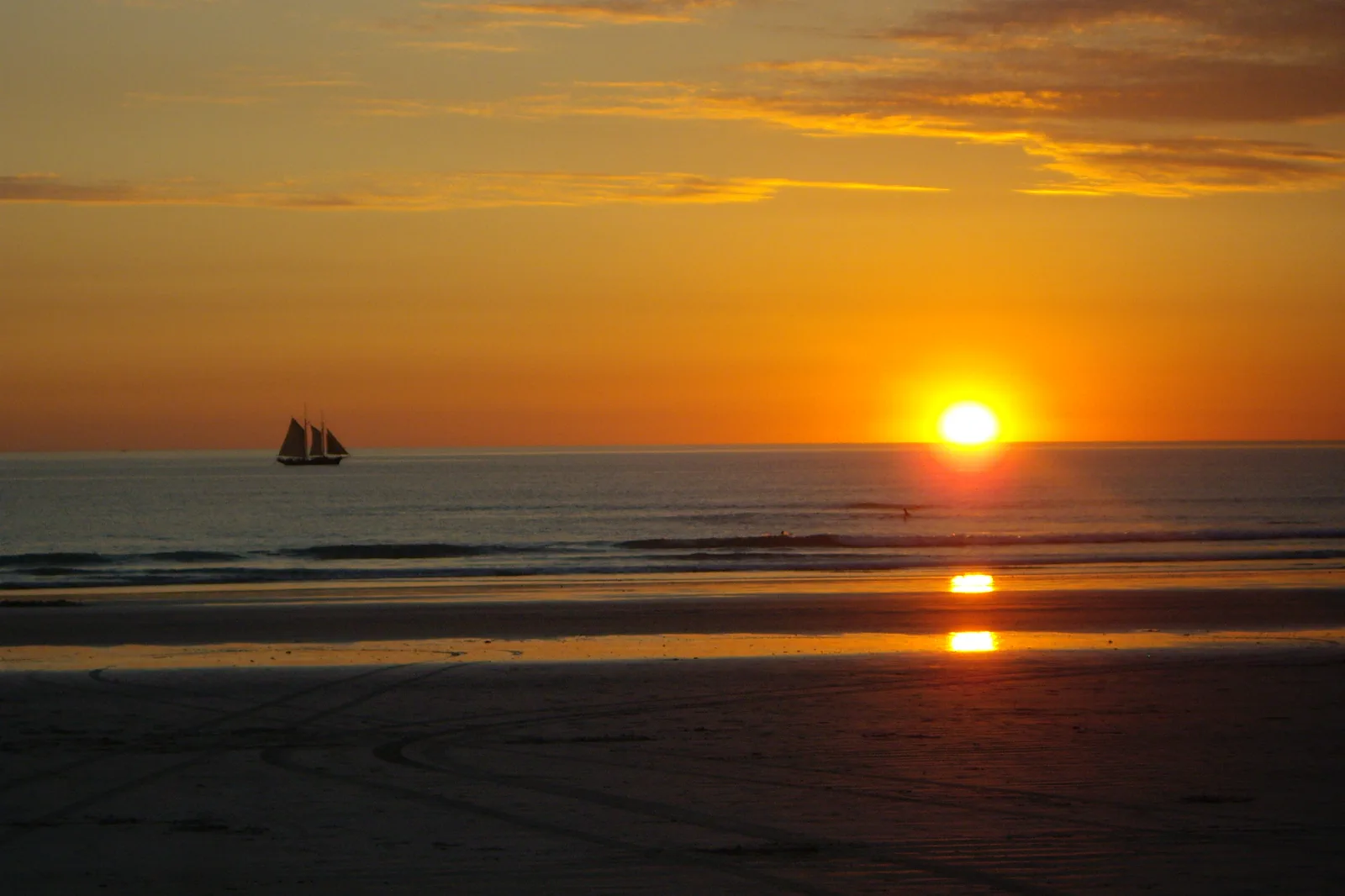
Rubibi / Broome & Cable Beach
Choose a Broome town or Cable Beach base, then connect Chinatown, Yawuru Country interpretation and a…
Open the field guide →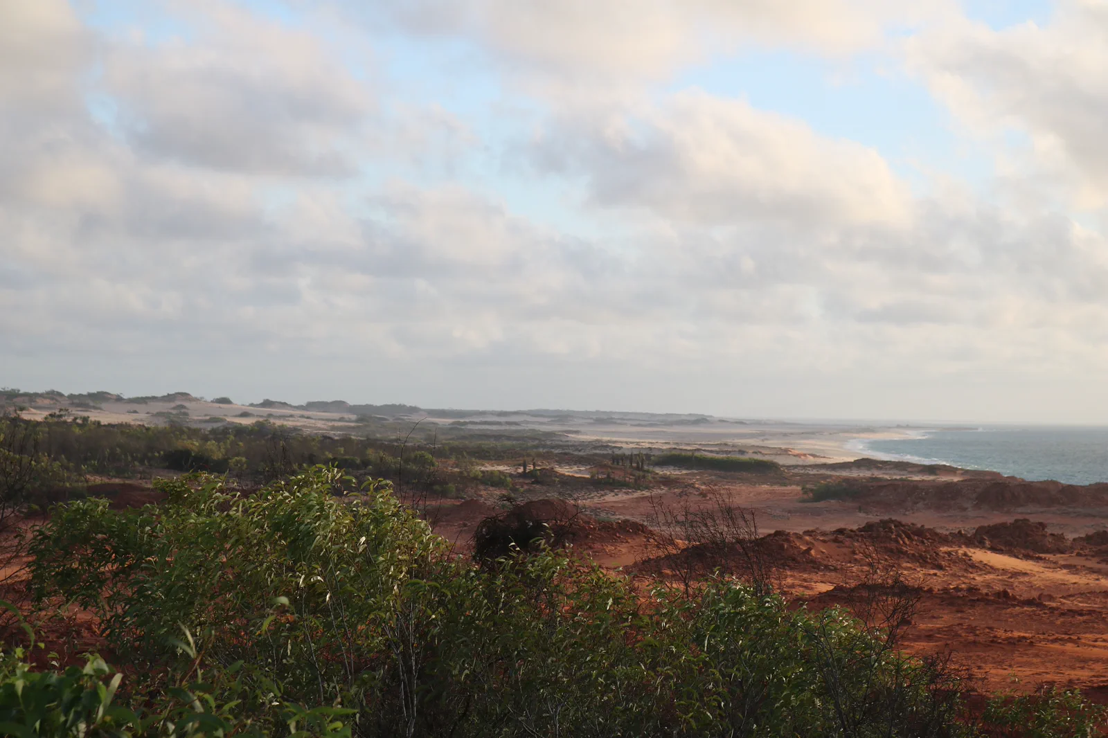
Dampier Peninsula
Build a booked Dampier Peninsula overnight around one named Bardi-led experience and its real driveway,…
Open the field guide →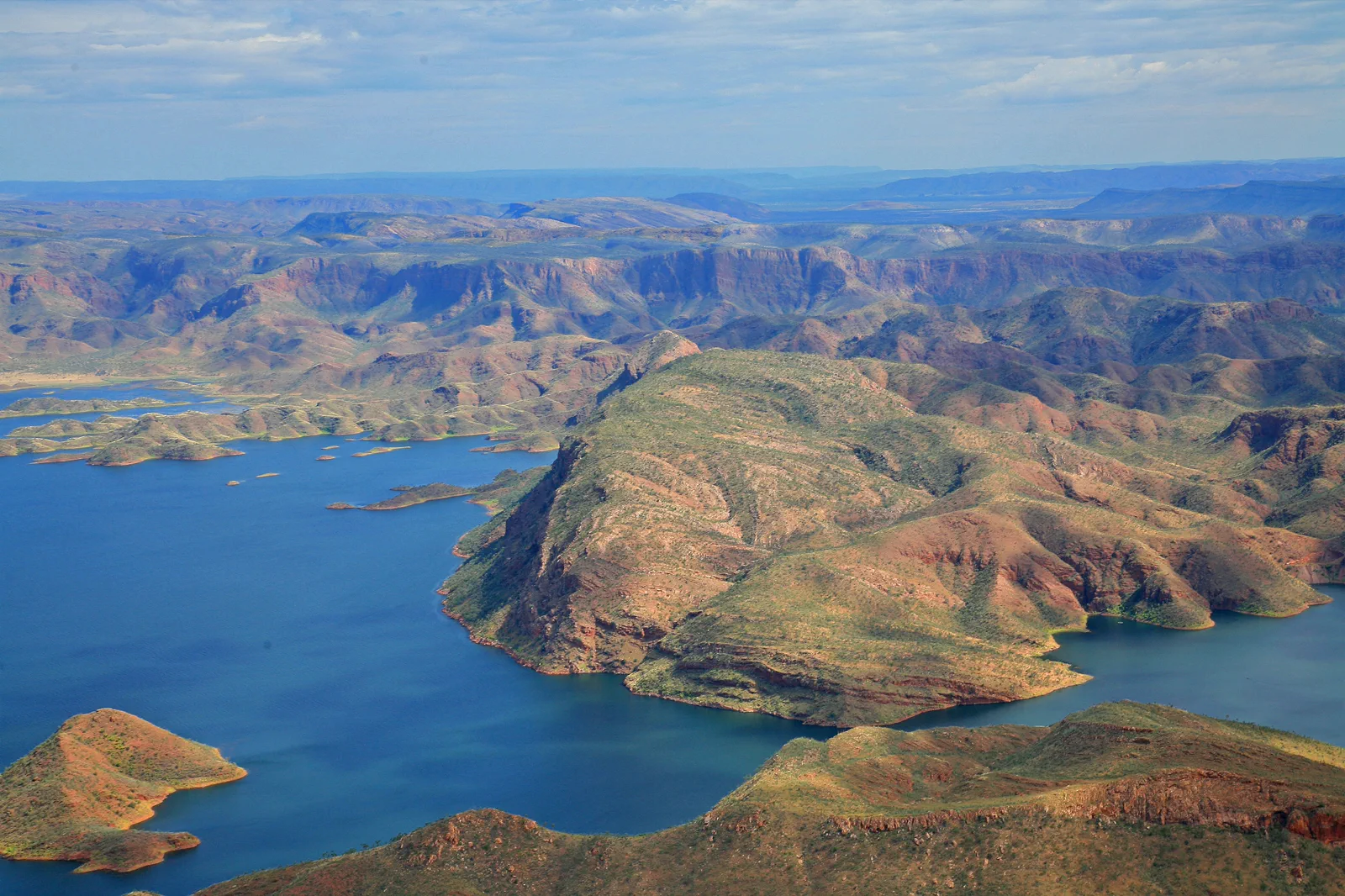
Kununurra & Lake Argyle
An East Kimberley base connecting town services, lake cruise or lookout and Ord landscapes under heat and…
Open the field guide →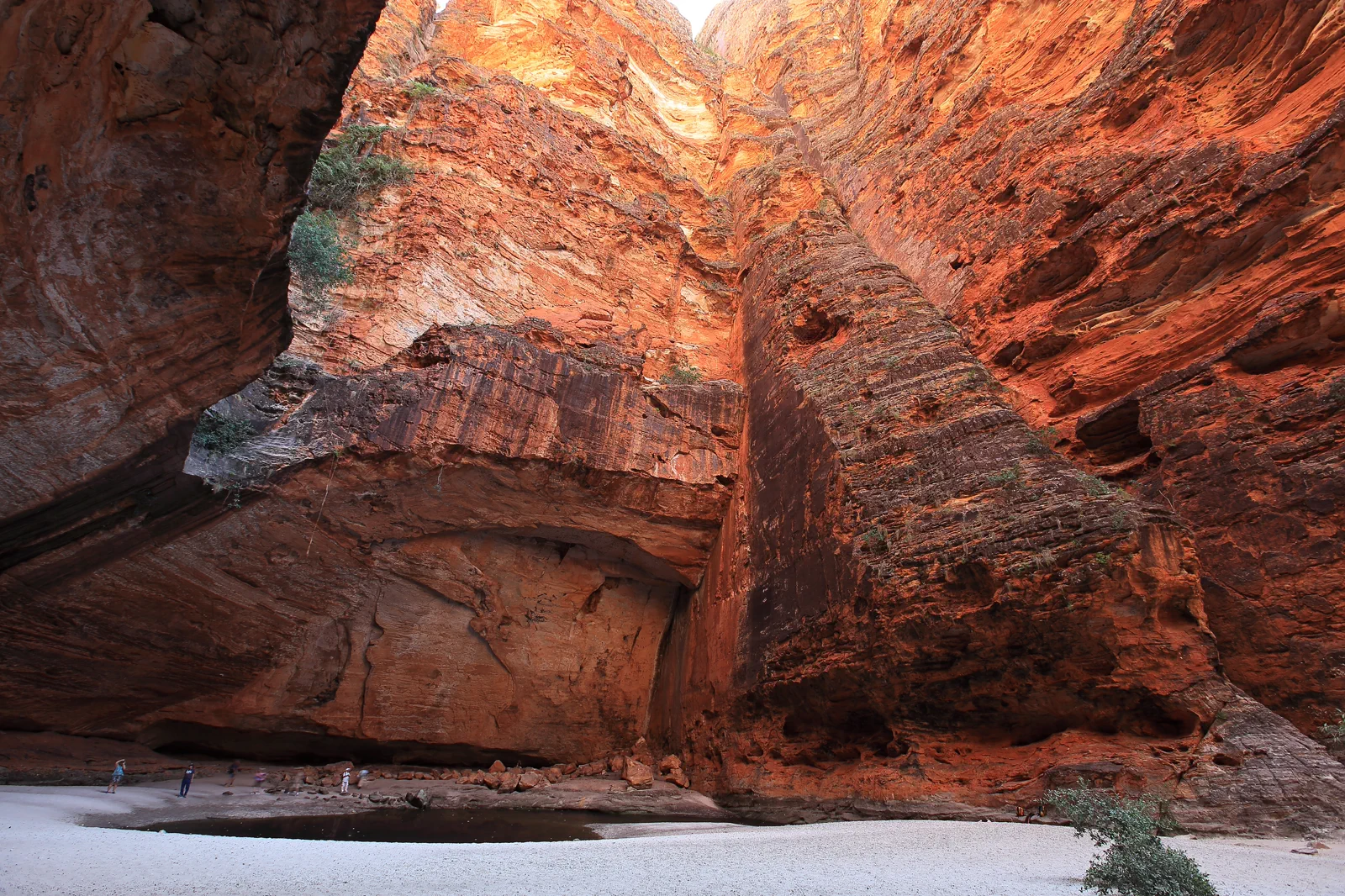
Purnululu / Bungle Bungle Range
A World Heritage remote-park visit requiring a choice between scenic flight and difficult road access, with…
Open the field guide →Gibb River Road FAQ
How many days should I give the Gibb River Road?
Australia’s North West recommends at least fourteen days to explore the full corridor and its stops. Plan the gateway and booked station nights separately, then add a buffer in Kununurra. The number is an editorial planning floor, not a guarantee every park or camp is open. If you have less time, choose a guided section and omit the rest.
Can I drive the Gibb in a 2WD or campervan?
Main Roads recommends a high-clearance 4WD; it does not recommend caravans, motorhomes and some camper trailers on unsealed roads. Your rental contract may prohibit the route regardless of advertised capability. Confirm vehicle, tyres, recovery, river-crossing rules and insurance with the actual operator; if any item is unresolved, choose a guided tour.
Is the road open in October?
A typical season is not a live road check. Main Roads says opening depends on crossing levels and damage repair and provides a current Travel Map and status boards at both ends. Check that map, the responsible Shire, DBCA park alerts and local operators on the day. If the chosen segment is closed or its status is unknown, do not enter.
Can I cross water if another vehicle just went through?
No. Main Roads warns against driving through water of unknown depth. Flow, substrate, level and hazards can change; another vehicle or a social post is not a safe assessment. Wait for the responsible authority or local operator to confirm the specific crossing, or turn back.
What replaces a gorge walk during a fire or park closure?
Follow Emergency WA and DBCA closure instructions first. If travel remains permitted, return to a reserved gateway or use a separately confirmed town/operator activity; do not use another gate, private station road or community track to reach the closed area. An active warning has no sightseeing fallback.
Can I add Purnululu to the Gibb route?
Treat Purnululu as a separate East Kimberley park block with its own road or flight access, camp, park opening and nights. Do not add it as a same-day detour from a remote Gibb camp. Reach a confirmed Kununurra gateway first and book the park sequence after checking current alerts.
Official sources and photo credits
Planning facts and image licenses were reviewed on 13 October 2026. Access, weather, transport, fire, marine and operator conditions change; verify directly before travel.
- Main Roads WA — vehicle preparation, seasonal access, changing road conditions and side-road authorities.
- Main Roads WA — live status board and restrictions.
- Shire of Derby / West Kimberley — western road report.
- Shire of Wyndham / East Kimberley — eastern road report.
- DBCA / Explore Parks WA — park alerts, access and closures.
- Australia’s North West — fourteen-day route guidance, accommodation and itinerary planning.
- Bureau of Meteorology — Kimberley forecasts and warnings.
- Emergency WA — live bushfire, flood, cyclone and evacuation information.
- Cable Beach, Broome, Western Australia (7070613571).jpg — Travel & Shit from Brighton, UK, CC BY-SA 2.0. Resized, display-cropped and converted to WebP; no other material edits.
- Kooljamin (Cape Leveque).jpg — Warren Poole, CC BY-SA 4.0. Resized, display-cropped and converted to WebP; no other material edits.
- 00 2071 Gibb River Road - Western Australia.jpg — W. Bulach, CC BY-SA 4.0. Resized, display-cropped and converted to WebP; no other material edits.
- 00 2098 Western Australia - Lake Argyle.jpg — W. Bulach, CC BY-SA 4.0. Resized, display-cropped and converted to WebP; no other material edits.
- Bungle Bungle Range Purnululu National Park, Cathedral Gorge.png — Maclearite, CC BY-SA 4.0. Resized, display-cropped and converted to WebP; no other material edits.