Gold Coast & Scenic Rim Choose a beach station, a southern bus leg, or a separate mountain base.
The Gold Coast is not one beach with five nearby add-ons. Its north and central waterfront follows Translink’s L1 corridor; the southern border coast needs a separate bus or road plan, while Springbrook and Lamington require their own hinterland access and weather window. Start with the first useful overnight and the exact station or park entrance, then choose one coastal chapter per day. The schematic separates those planning systems without drawing a map or promising a connection.
- Useful stay
- For a rail-led coast stay, compare Surfers Paradise around Cavill Avenue with Broadbeach around its own L1 stops; choose by…
- Transfer logic
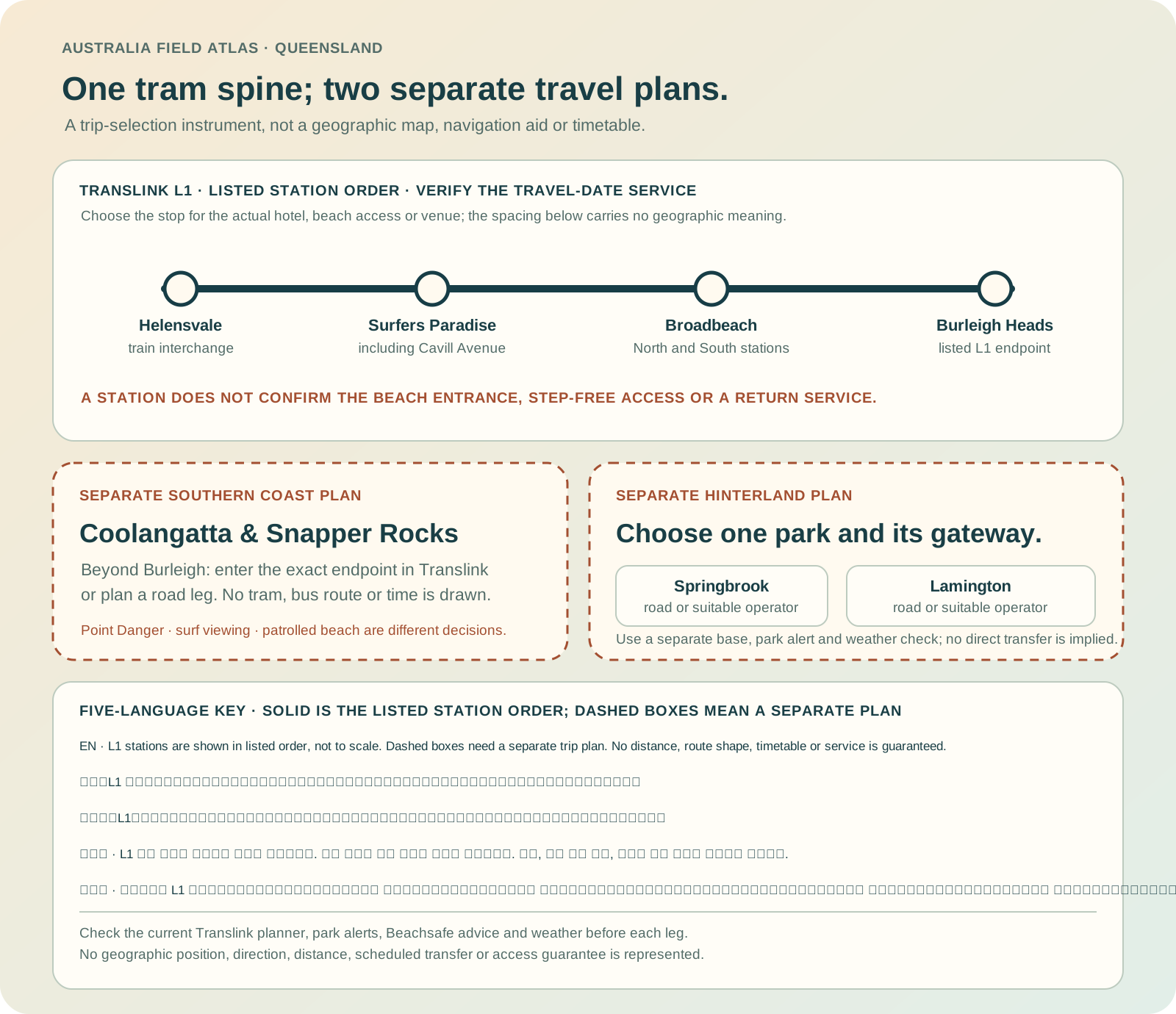
- Translink currently lists L1 between Helensvale and Burleigh Heads, including Surfers Paradise and Broadbeach stations.
Choose the operating system, then the place.
Every card opens a full route with transport, access, weak points, official sources and visible image provenance.
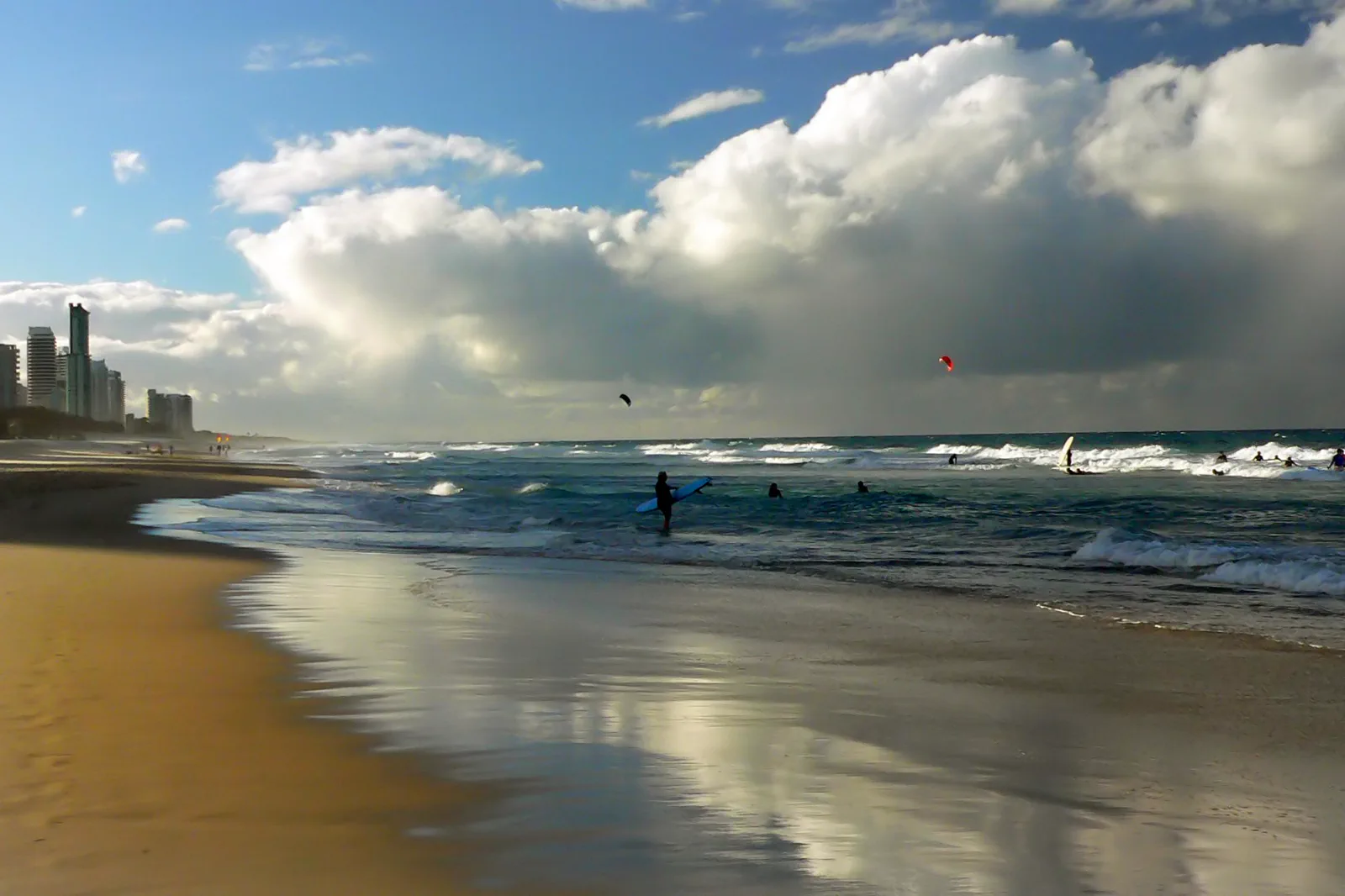
Surfers Paradise & Broadbeach
A rail-led urban coast day that chooses the L1 station for the actual beach, venue and return; bathing, heat relief and evening plans stay separate decisions.
Open the field guide →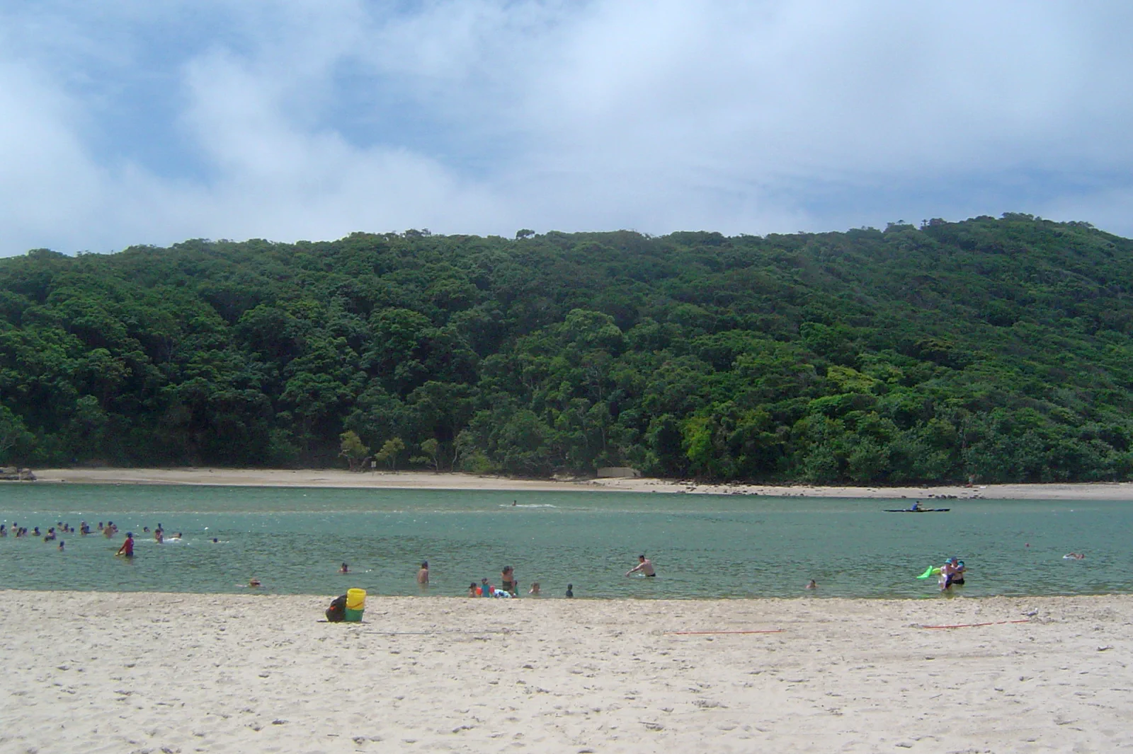
Burleigh Heads & Tallebudgera
A Burleigh Head track-and-water decision: use the current L1 terminus, choose an open formed track, then decide separately whether ocean or creek conditions support water time.
Open the field guide →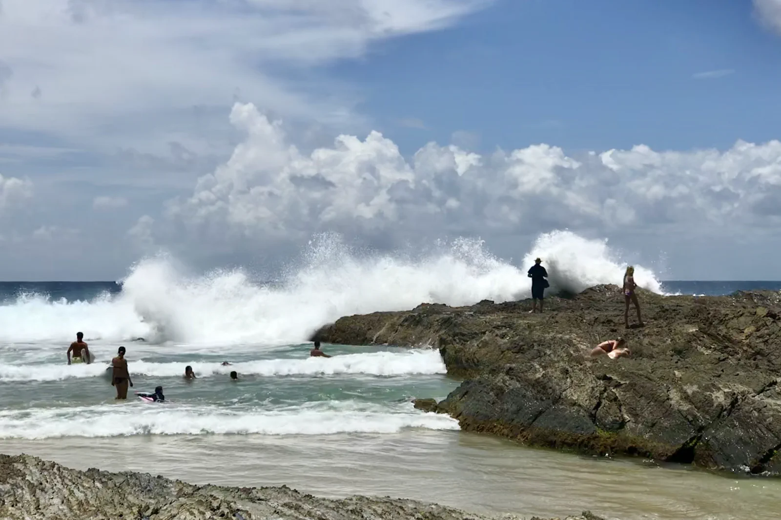
Coolangatta & Snapper Rocks
A southern coast day that separates Point Danger’s land views, Snapper Rocks’ surf and a patrolled beach, with a dedicated bus or road return beyond the L1 terminus.
Open the field guide →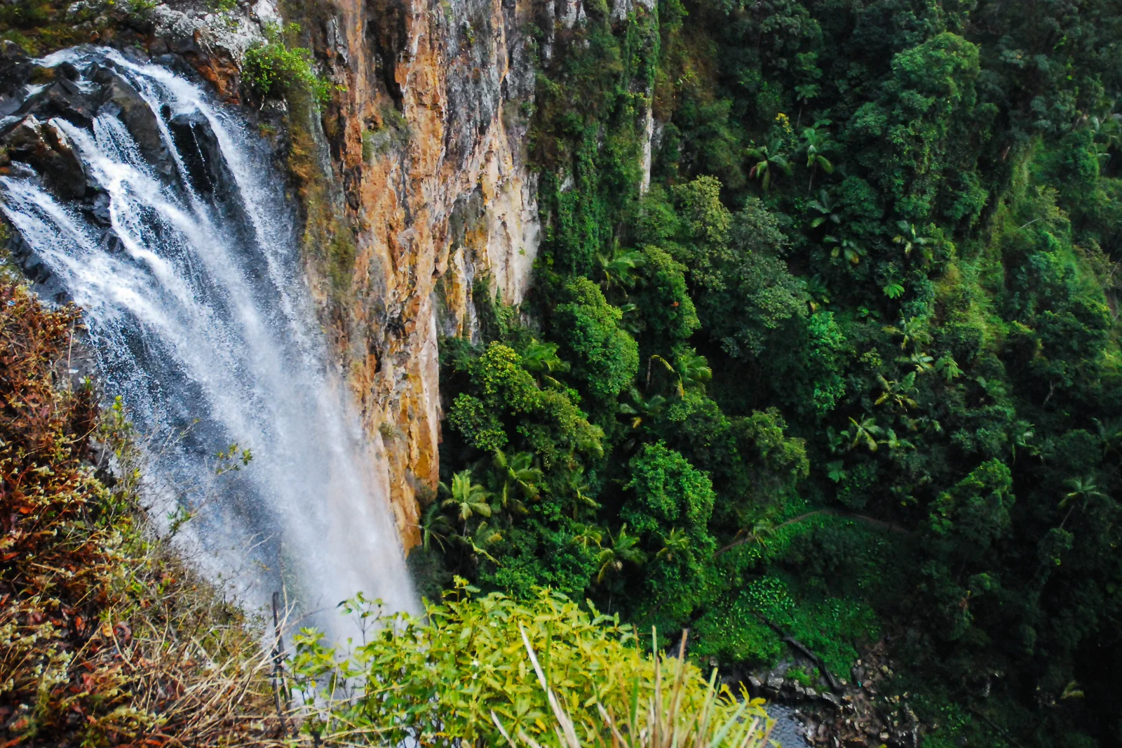
Springbrook National Park
A plateau rainforest day whose winding road, waterfall tracks, leeches, storm risk and Natural Bridge access are planned before departure.
Open the field guide →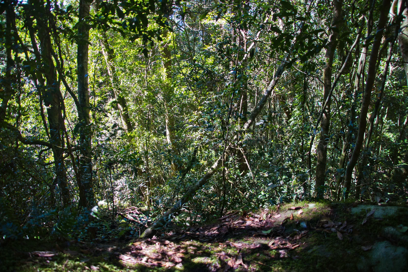
Lamington National Park
A high-country rainforest visit separating Binna Burra and Green Mountains gateways, trail grades and remote-walk obligations.
Open the field guide →Distance is part of the content.
Australia punishes invisible transfer time. These five contracts keep the route honest.
Sleep near the first decision.
For a rail-led coast stay, compare Surfers Paradise around Cavill Avenue with Broadbeach around its own L1 stops; choose by the first beach access, venue and late return rather than a suburb label. Burleigh now has an L1 terminus, but a mountain trailhead remains a separate road or operator leg. Use a Coolangatta night when the southern coast or airport timing is the actual purpose. Move to a hinterland base only when an early park start justifies the second check-in.
Name the road, rail, ferry or operator.
Translink currently lists L1 between Helensvale and Burleigh Heads, including Surfers Paradise and Broadbeach stations. Continue south of Burleigh only through a date-specific bus or road plan; do not infer a tram to Coolangatta or a last-mile park connection. Enter the exact beach access, stop or park gateway in the journey planner. On 12 October 2026, Translink also listed selected evening replacement buses on the northern L1 section; check live updates again before travel.
Permission and guidance come first.
Use recognised Traditional Owner language and visitor guidance. Do not infer access to cultural places, communities or Country from an online pin.
One national forecast is not enough.
Check the local fire, flood, surf, marine, alpine, heat or cyclone condition that actually governs the selected chapter.
Protect the last safe movement.
Every field guide declares a return, turnaround or overnight before adding optional distance.
Do not clear the map in one day.
Surfers Paradise & Broadbeach
Use one morning shoreline, pause indoors through the hottest or wettest part of the day, and move once…
Field 02Burleigh Heads & Tallebudgera
Arrive with water, sun cover and a return plan.
Field 03Coolangatta & Snapper Rocks
Use Point Danger to orient on land, then choose either a signed open coastal path segment or one named…
Field 04Springbrook National Park
Drive in daylight, walk the most weather-sensitive track first, use formal lookouts and descend before…
Field 05Lamington National Park
Begin at the visitor or trailhead information point, take one ability-matched circuit and finish before…
Set the tram end, then plan south or uphill.
The L1 spine reaches Burleigh Heads. Coolangatta and the hinterland require separate arrival, access and return checks; the schematic does not supply a route or timetable.
A useful route depends on the number of days and the operating system.
These examples group real places and protect the return. Check live services, openings, access and weather before fixing the order.
urban coast
Choose one rail-linked base in Surfers Paradise or Broadbeach. Give one day to the chosen beach centre and a confirmed indoor break; use a second day for Burleigh only after checking the exact L1 stop, park entrance and current track status. Keep the third day flexible for weather, a slower beach visit or the return. Do not add Coolangatta and a mountain park as casual day trips from the same base.
coast in two sections
Use a central rail-linked base for Surfers Paradise, Broadbeach and Burleigh, then move south only if Coolangatta is a priority and a current bus or road connection fits. A one-night southern move can protect a very early airport departure, but check luggage, check-in and return logistics before booking two stays. Keep beach swimming conditional on patrol and surf advice.
one hinterland window
Keep the urban coast in one base, select either Springbrook or Lamington for a separate park block, and reserve a buffer night near the coast before departure if the park road or weather could change the return. The seven nights are an editorial planning shape, not a guarantee that every route is open or that both parks fit. Add the second park only by extending the stay and changing base deliberately.
Gold Coast & Scenic Rim FAQ
How long should I give Gold Coast & Scenic Rim?
Use at least three focused days for one coherent route. Add nights whenever remote roads, vessels, parks or weather gates are involved.
Can every chapter be combined in one stay?
No. Choose the base and transport system that serves the first planning problem; distant chapters often need their own overnight and weather window.
What changes fastest?
Road, park, fire, flood, surf, marine, ferry and operator status. Recheck the linked official source before leaving, even when the booking was made earlier.
Official sources and photo credits
Planning facts and image licenses were reviewed on 12 October 2026. Recheck transport, park, fire, weather, marine and operator conditions before travel.
- Tourism Australia — Gold Coast.
- Destination Gold Coast — official visitor guide.
- Translink Queensland — Gold Coast services.
- Translink — L1 Helensvale / Burleigh Heads tram timetable.
- Translink — October 2026 evening L1 replacement-bus notice.
- Queensland Parks — Burleigh Head National Park visitor information and park alerts.
- Surf Life Saving Australia — Beachsafe patrol and hazard information.
- Bureau of Meteorology — Gold Coast forecast.
- Queensland Parks — Springbrook National Park.
- Queensland Parks — Lamington National Park.
- TripDistill original Gold Coast coast-to-range planning schematic — TripDistill Editorial Team, Project original; no separate reuse license declared. The solid line is a station-planning spine, not a timetable. Dashed branches mark separate Coolangatta and hinterland trip decisions without drawing a route or promising a transfer. The SVG contains no photographic pixels. Its five-language key states that geometry, direction, distance and service are not represented. Project original; no separate reuse license is declared and commercial reuse eligibility is unknown.
- Surfers Paradise Beach with skyline.jpg — Bernard Spragg. NZ from Christchurch, New Zealand, CC0. Resized, display-cropped and converted to WebP; no other material edits.
- Burleigh Heads and Tallebudgera Creek 2.JPG — Shiftchange, Public domain. Resized, display-cropped and converted to WebP; no other material edits.
- Snapper Rocks, Coolangatta, Gold Coast, Queensland 03.jpg — Kgbo, CC BY-SA 4.0. Resized, display-cropped and converted to WebP; no other material edits.
- PurlingBrookFallsSpringbrook.jpg — Ena Music, CC BY-SA 4.0. Resized, display-cropped and converted to WebP; no other material edits.
- Complex notophyll vine forest Border Track Lamington National Park Queensland IMGP2608.jpg — John Robert McPherson, CC BY-SA 4.0. Resized, display-cropped and converted to WebP; no other material edits.