Coolangatta & Snapper Rocks border coast and surf watch.
A southern coast day that separates Point Danger’s land views, Snapper Rocks’ surf and a patrolled beach, with a dedicated bus or road return beyond the L1 terminus.
Stay north for a rail-led Surfers/Broadbeach trip; choose Coolangatta for the border coast or airport timing, after checking the exact terminal-to-hotel leg.
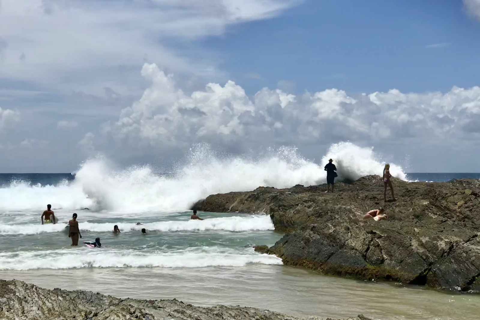
Watch Snapper Rocks from a formal public viewpoint. Choose any swim only from a beach with current patrol advice and flags.
Plan a date-specific bus or road leg: Translink lists Burleigh Heads, not Coolangatta, as the L1 endpoint.
Watch the break; choose the water elsewhere.
At the southern end, Point Danger is the land reference, Snapper Rocks is a surf setting and a patrolled beach is a separate swimming decision. Treating those as one attraction invites an unsafe shortcut. This guide builds a land-first sequence and lets the visitor choose whether current conditions support any water time.
Make the transport day part of the route.
The southern coast can feel close on a map while its bus or road leg changes the shape of a city day. Add the airport, hotel and any cross-border destination as actual planner endpoints before fixing a meal or departure.
A route with an exit built in.
Name the southern endpoint
Start with your real base, the Gold Coast Airport terminal or the actual northern transfer, then enter Point Danger and the chosen return stop in Translink’s planner. The L1 line ends at Burleigh Heads in the current listing; do not leave the southern leg as “nearby.”
Orient at Point Danger
Use the public headland outlook as a land-based read of the coastline. Check weather and any local signs before taking a signed path, and leave time to return by the same verified access if wind, rain or visibility changes.
Choose one coast section
Watch Snapper Rocks from a formal public viewing point, then decide whether a marked path to Rainbow Bay or Greenmount fits the group. Do not step onto boulder shelves or enter the surf break; select a patrolled swimming beach only if the current flags and lifesaver advice support it.
Close before the transfer
Finish near the stop or parking location already chosen and recheck service updates. If the group swims, attends a competition or crosses into Tweed Heads, protect the return and account for local time before booking a second activity.
Three reasons to change the plan.
Surf mistaken for a swimming beach
A famous break and experienced surfers are not evidence that the water is safe for visitors. Use Beachsafe and local patrol instructions for the exact beach; make the visit land-only whenever guidance is absent or unsuitable.
Swell reaches the rocks
Rock shelves and cliff edges can be exposed to sudden wash even when they look dry. Remain behind barriers on formed paths and do not use a wave-washed platform as a viewpoint.
The return crosses a state line or service gap
The L1 endpoint is north of Coolangatta, and NSW may observe daylight saving while Queensland does not. Verify each bus, drive, airport leg and clock for the date; leave margin instead of assuming a seamless connection.
Access is never implied by proximity.
Snapper Rocks is a surf break, not a visitor swimming instruction. Give surfers, lifesavers and any event operation room; obey barriers, coastal signs and local cultural interpretation. A dry rock platform can still be reached by swell. Stay on formed paths and do not enter the water because another person appears confident.
Four related field chapters.
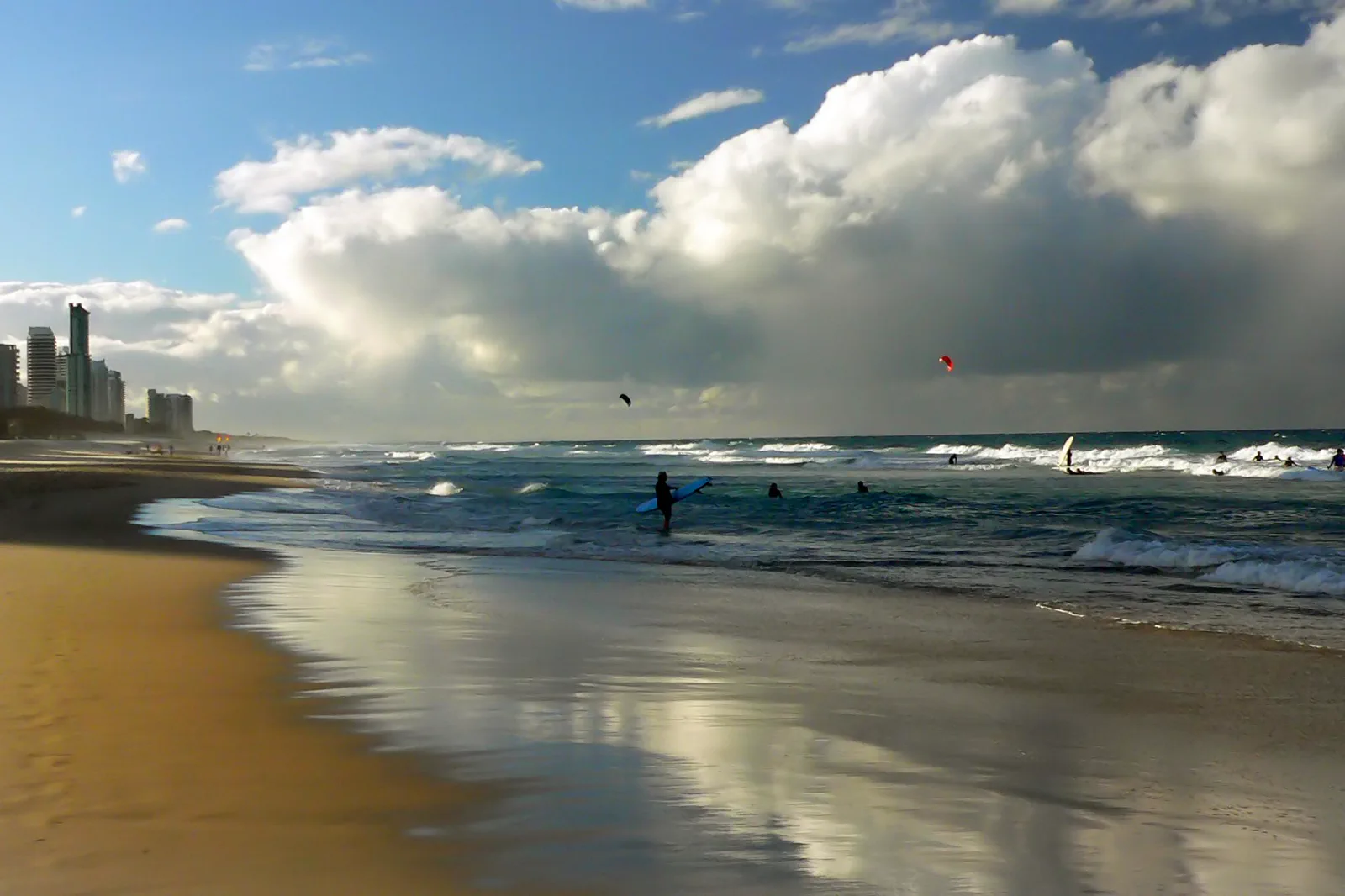
Surfers Paradise & Broadbeach
A rail-led urban coast day that chooses the L1 station for the actual beach, venue and return; bathing, heat…
Open the field guide →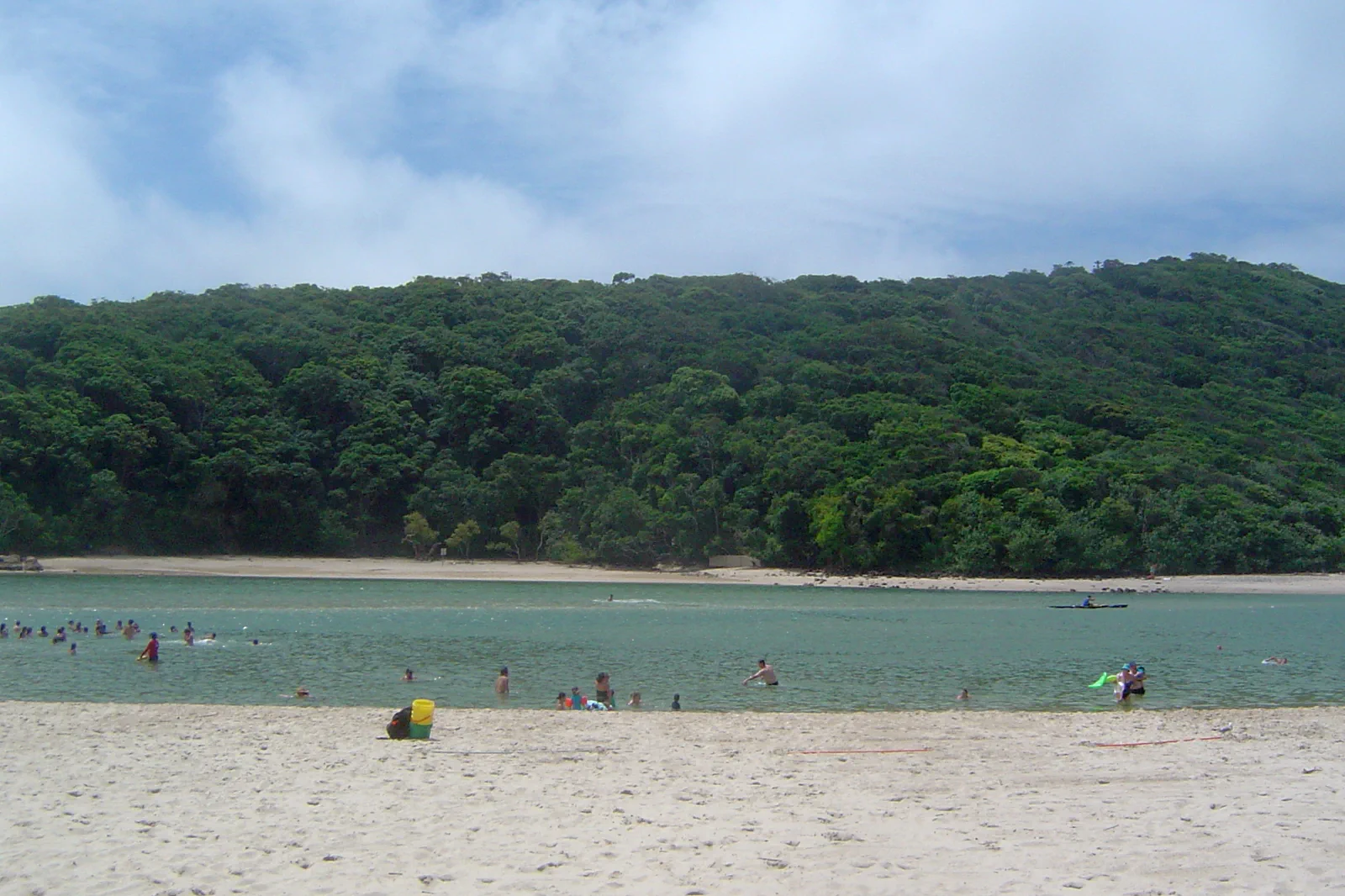
Burleigh Heads & Tallebudgera
A Burleigh Head track-and-water decision: use the current L1 terminus, choose an open formed track, then…
Open the field guide →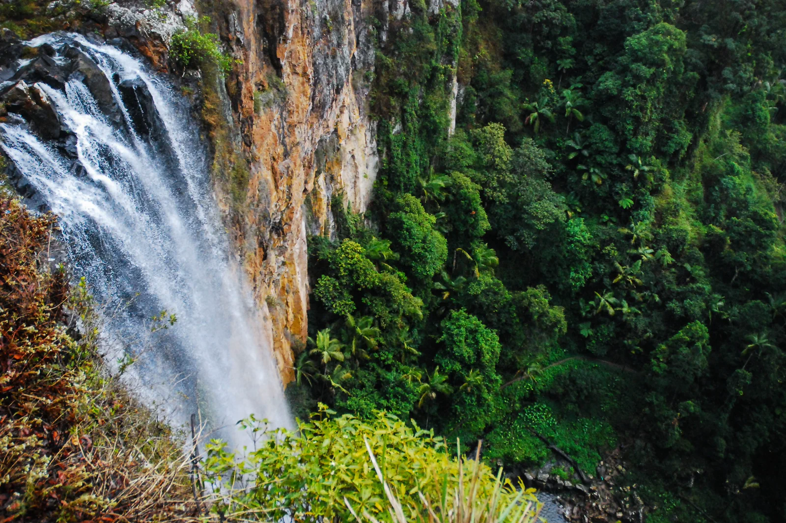
Springbrook National Park
A plateau rainforest day whose winding road, waterfall tracks, leeches, storm risk and Natural Bridge access…
Open the field guide →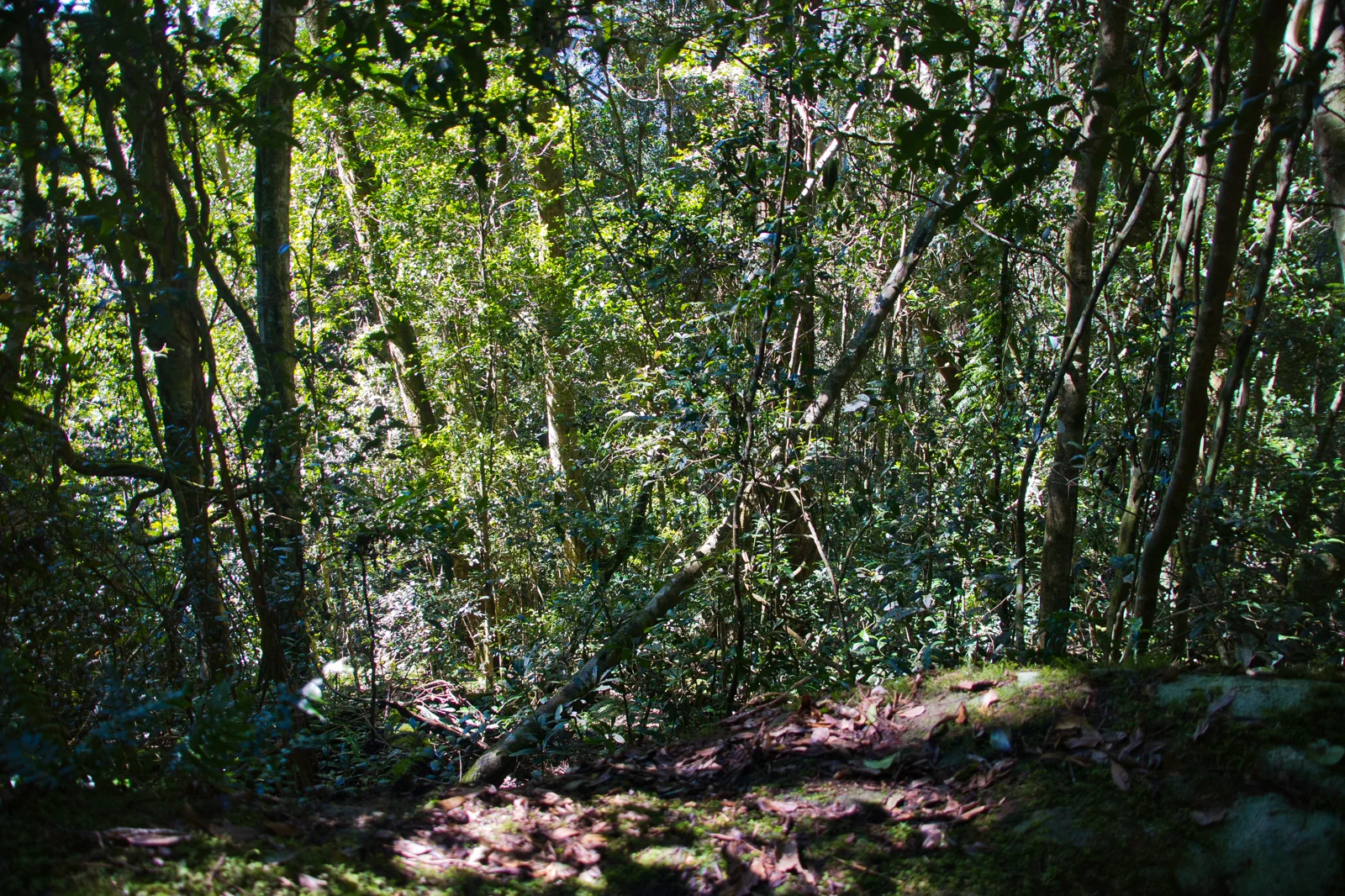
Lamington National Park
A high-country rainforest visit separating Binna Burra and Green Mountains gateways, trail grades and…
Open the field guide →Coolangatta & Snapper Rocks FAQ
Does the tram reach Snapper Rocks?
Translink currently lists L1 from Helensvale to Burleigh Heads. It does not show a through tram to Coolangatta, so plan and confirm the southern bus, road or airport connection separately.
Can I swim at Snapper Rocks?
This guide treats Snapper as a surf-viewing location, not a swimming recommendation. Check the chosen beach on Beachsafe and follow the local flags and lifesaver advice; if conditions do not support swimming, remain on land.
How long should I stay?
A half day can suit a headland view and one coast section if the return service fits. Use a full day or a nearby overnight when adding an airport transfer, meal or multiple beach areas; keep the trip shape conditional on current transport and weather.
Do I need to change my watch near Tweed Heads?
When New South Wales observes daylight saving, it may be one hour ahead of Queensland. If crossing the border, check the local time shown for every bus, booking or flight rather than relying on a single zone.
Official sources and photo credits
Planning facts and image licenses were reviewed on 12 October 2026. Access, weather, transport, fire, marine and operator conditions change; verify directly before travel.
- Tourism Australia — Gold Coast.
- Destination Gold Coast — official visitor guide.
- Translink Queensland — Gold Coast services.
- Translink — L1 Helensvale / Burleigh Heads tram timetable.
- Translink — October 2026 evening L1 replacement-bus notice.
- Queensland Parks — Burleigh Head National Park visitor information and park alerts.
- Surf Life Saving Australia — Beachsafe patrol and hazard information.
- Bureau of Meteorology — Gold Coast forecast.
- Queensland Parks — Springbrook National Park.
- Queensland Parks — Lamington National Park.
- Surfers Paradise Beach with skyline.jpg — Bernard Spragg. NZ from Christchurch, New Zealand, CC0. Resized, display-cropped and converted to WebP; no other material edits.
- Burleigh Heads and Tallebudgera Creek 2.JPG — Shiftchange, Public domain. Resized, display-cropped and converted to WebP; no other material edits.
- Snapper Rocks, Coolangatta, Gold Coast, Queensland 03.jpg — Kgbo, CC BY-SA 4.0. Resized, display-cropped and converted to WebP; no other material edits.
- PurlingBrookFallsSpringbrook.jpg — Ena Music, CC BY-SA 4.0. Resized, display-cropped and converted to WebP; no other material edits.
- Complex notophyll vine forest Border Track Lamington National Park Queensland IMGP2608.jpg — John Robert McPherson, CC BY-SA 4.0. Resized, display-cropped and converted to WebP; no other material edits.