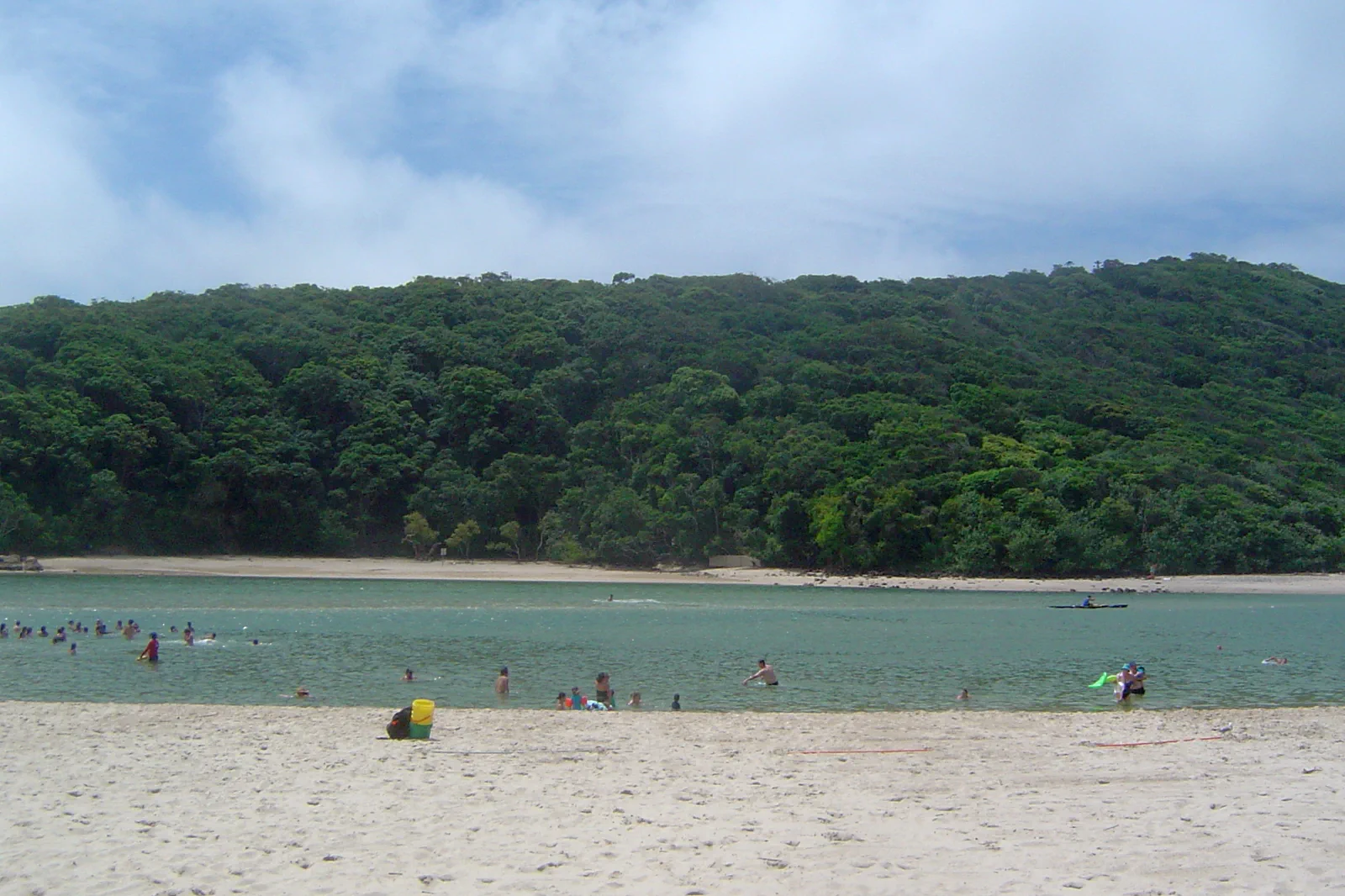
Burleigh Heads & Tallebudgera headland and creek edge.
A Burleigh Head track-and-water decision: use the current L1 terminus, choose an open formed track, then decide separately whether ocean or creek conditions support water time.
The L1 now lists Burleigh Heads. Choose the park’s northern or southern entrance in the planner; a station destination is not the same as the exact trailhead.
Queensland Parks lists wheelchair-assisted access on Oceanview and no wheelchair access on the other park tracks. Check the current map, closure signs and the group’s needs.
Burleigh’s surf beach and Tallebudgera Creek have different exposures. Treat each as a separate, current Beachsafe and local-signage decision.
A headland is a gate, not a shortcut.
Burleigh Head divides an urban beach, a protected rocky headland and the Tallebudgera Creek edge. Those spaces need different access and water checks. The park is an excursion in its own right; a creek stop is an optional second chapter only if the transport, ability and live conditions still fit.
A closed section is not a beach shortcut.
Queensland Parks warns that a high-risk portion of Oceanview can close during conditions such as high wind, heavy rain, low temperature or fire. Check the live alert and signs; if a loop no longer works, end the park walk rather than inventing a route around the headland.
A route with an exit built in.
Choose the entrance
Set either the Goodwin Terrace northern access or the southern entrance near Tallebudgera Creek as the exact destination. If arriving on L1, check the remaining walk and return stop before leaving the station; if driving, verify the route and legal parking rather than improvising roadside access.
Read the park before walking
Open Queensland Parks’ Burleigh Head alerts, map and current safety guidance. Select an open formed track that fits the group, daylight and ability. If a boulder-fall warning or closure affects the desired section, remove that leg from the plan.
Keep the headland on the track
Walk the chosen Oceanview or rainforest section without entering the restricted boulder fields, scrambling below the track or using Echo Beach stairs unless they are the planned access. Stop at the declared turning point and keep enough energy for the same entrance or an already checked exit.
Decide on water after the walk
Compare the ocean beach and Tallebudgera Creek as separate destinations. Use Beachsafe and local signs or patrol advice for the exact area; if the condition, access, current or boat movement is unsuitable, finish with a land-side meal and the planned transit return.
Three reasons to change the plan.
Weather closes the route
Queensland Parks identifies a high-risk Oceanview section that can close for conditions including high wind, heavy rain, low temperature or fire. Confirm the live notice and obey signs; do not continue through restricted ground to preserve a loop.
A creek is not a sheltered promise
Creek, ocean surf and headland rocks present different hazards. Check current local guidance for the selected water entry and do not substitute a scenic view for a patrol or safe access point.
The last mile is easy to misread
An L1 station, park entrance and beach are separate nodes. Enter the exact entrance in the trip planner and preserve daylight and return margin; a named suburb does not confirm parking, accessible paths or service frequency.
Access is never implied by proximity.
Burleigh Head National Park has cultural significance to Traditional Owners and protects rainforest, foreshore and wildlife. Follow the park’s cultural interpretation and signs without treating unmarked places as visitor access. Keep to formed trails: the cliff-line boulder fields, including Cannon Rock, and steep slopes below Oceanview are restricted. Do not scramble over rocks, enter an unpatrolled water area or let a scenic photograph outrank a closure sign.
Four related field chapters.
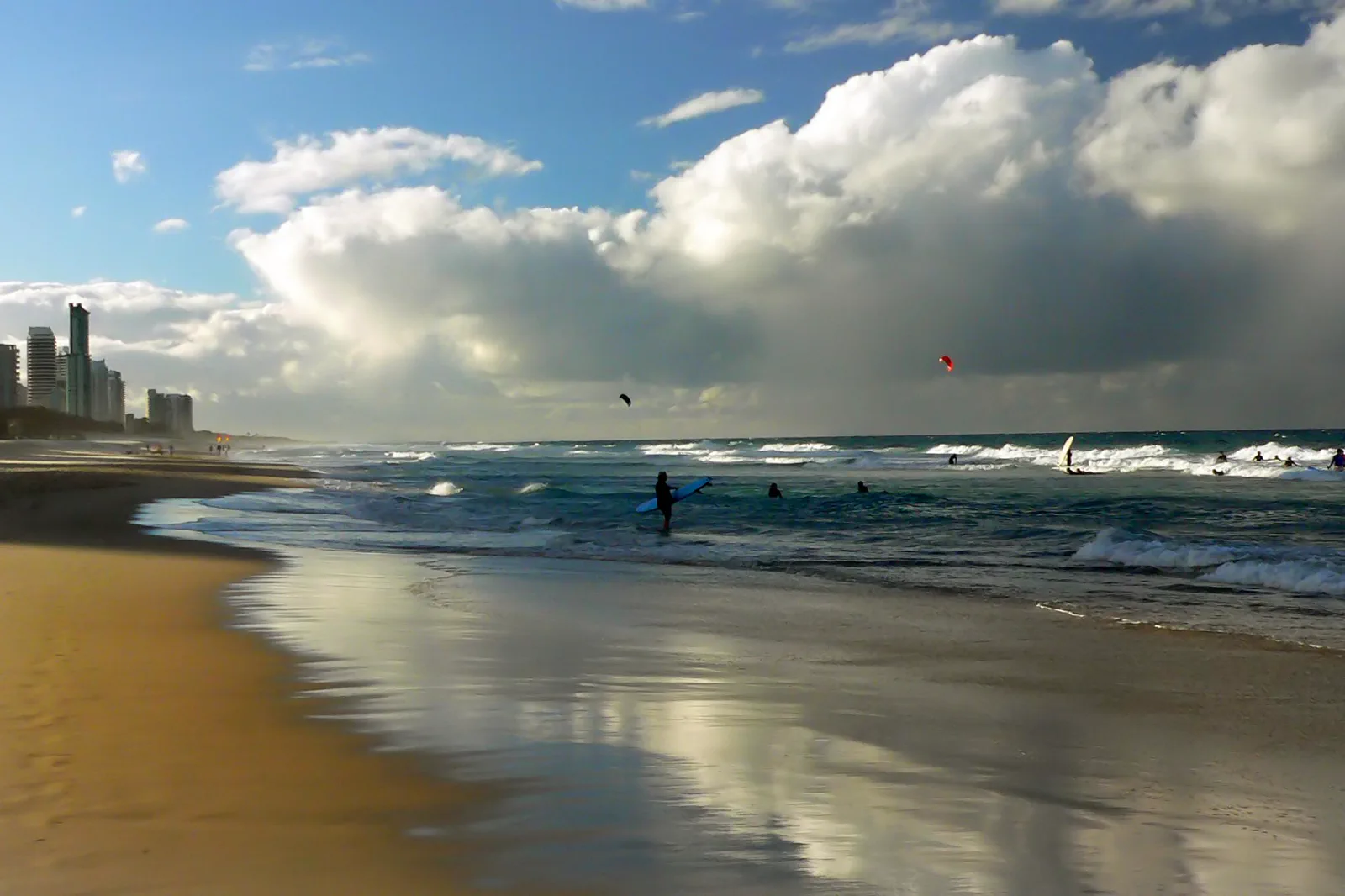
Surfers Paradise & Broadbeach
A rail-led urban coast day that chooses the L1 station for the actual beach, venue and return; bathing, heat…
Open the field guide →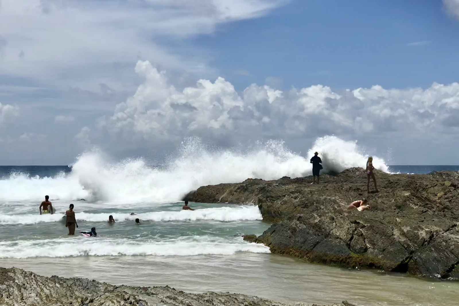
Coolangatta & Snapper Rocks
A southern coast day that separates Point Danger’s land views, Snapper Rocks’ surf and a patrolled beach, with…
Open the field guide →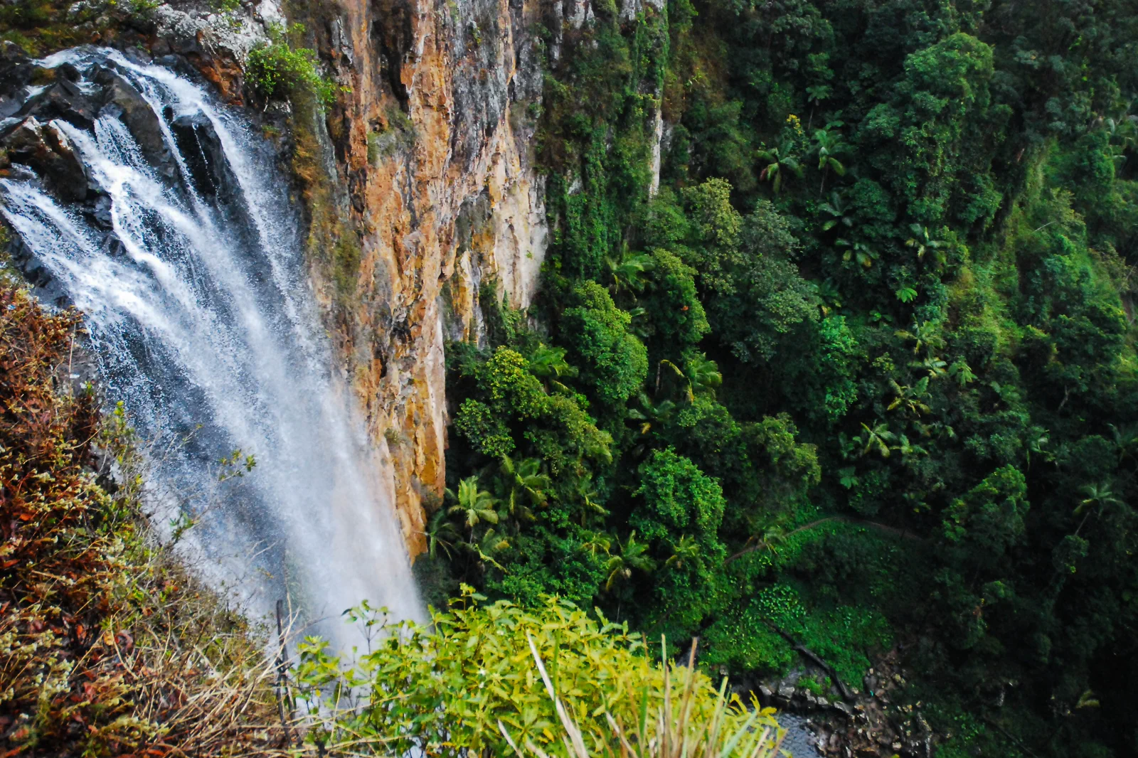
Springbrook National Park
A plateau rainforest day whose winding road, waterfall tracks, leeches, storm risk and Natural Bridge access…
Open the field guide →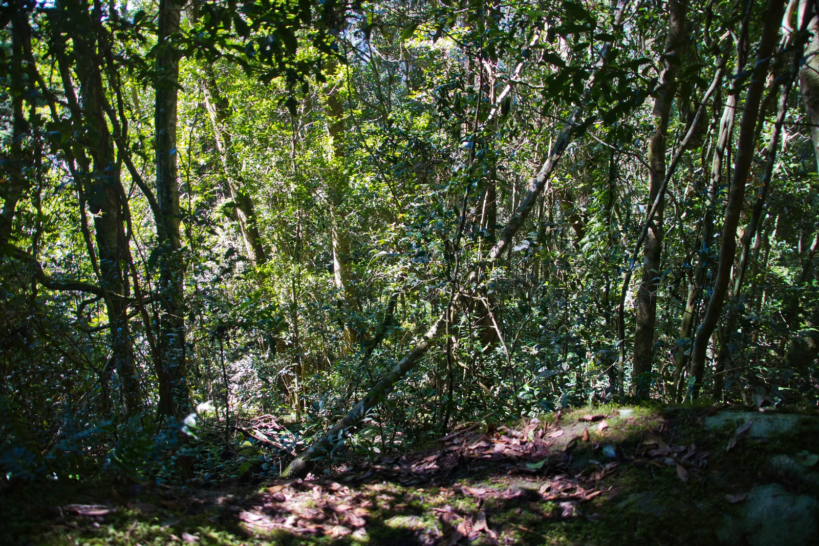
Lamington National Park
A high-country rainforest visit separating Binna Burra and Green Mountains gateways, trail grades and…
Open the field guide →Burleigh Heads & Tallebudgera FAQ
Does the L1 reach Burleigh Heads?
Translink’s current L1 timetable lists Burleigh Heads station as its southern endpoint. Use the date-specific planner from that stop to the park entrance you intend to use; the station and trailhead are not interchangeable.
Is the headland track wheelchair-accessible?
Queensland Parks describes wheelchair-assisted access on Oceanview and says its other park tracks are not wheelchair-accessible. Check the current track map and support requirements with the park authority before planning around a particular section.
Can I always complete an Oceanview circuit?
No. The authority warns that a higher-risk part can close in certain weather and fire conditions and may have live closures. Follow the alert and signs; shorten the visit or stay outside the closed area instead of seeking a rock or shoreline bypass.
Should I swim at the creek after the walk?
Only if the exact access point and current local advice support it. Creek and surf risks differ; consult Beachsafe and signs or lifesavers, and make a land-only visit when conditions or access are unclear.
Official sources and photo credits
Planning facts and image licenses were reviewed on 12 October 2026. Access, weather, transport, fire, marine and operator conditions change; verify directly before travel.
- Tourism Australia — Gold Coast.
- Destination Gold Coast — official visitor guide.
- Translink Queensland — Gold Coast services.
- Translink — L1 Helensvale / Burleigh Heads tram timetable.
- Translink — October 2026 evening L1 replacement-bus notice.
- Queensland Parks — Burleigh Head National Park visitor information and park alerts.
- Surf Life Saving Australia — Beachsafe patrol and hazard information.
- Bureau of Meteorology — Gold Coast forecast.
- Queensland Parks — Springbrook National Park.
- Queensland Parks — Lamington National Park.
- Surfers Paradise Beach with skyline.jpg — Bernard Spragg. NZ from Christchurch, New Zealand, CC0. Resized, display-cropped and converted to WebP; no other material edits.
- Burleigh Heads and Tallebudgera Creek 2.JPG — Shiftchange, Public domain. Resized, display-cropped and converted to WebP; no other material edits.
- Snapper Rocks, Coolangatta, Gold Coast, Queensland 03.jpg — Kgbo, CC BY-SA 4.0. Resized, display-cropped and converted to WebP; no other material edits.
- PurlingBrookFallsSpringbrook.jpg — Ena Music, CC BY-SA 4.0. Resized, display-cropped and converted to WebP; no other material edits.
- Complex notophyll vine forest Border Track Lamington National Park Queensland IMGP2608.jpg — John Robert McPherson, CC BY-SA 4.0. Resized, display-cropped and converted to WebP; no other material edits.