Springbrook National Park plateau waterfall circuit.
Choose one Springbrook section before leaving the coast: the plateau waterfall walks, Natural Bridge and Mount Cougal are separate road destinations with different track and weather decisions.
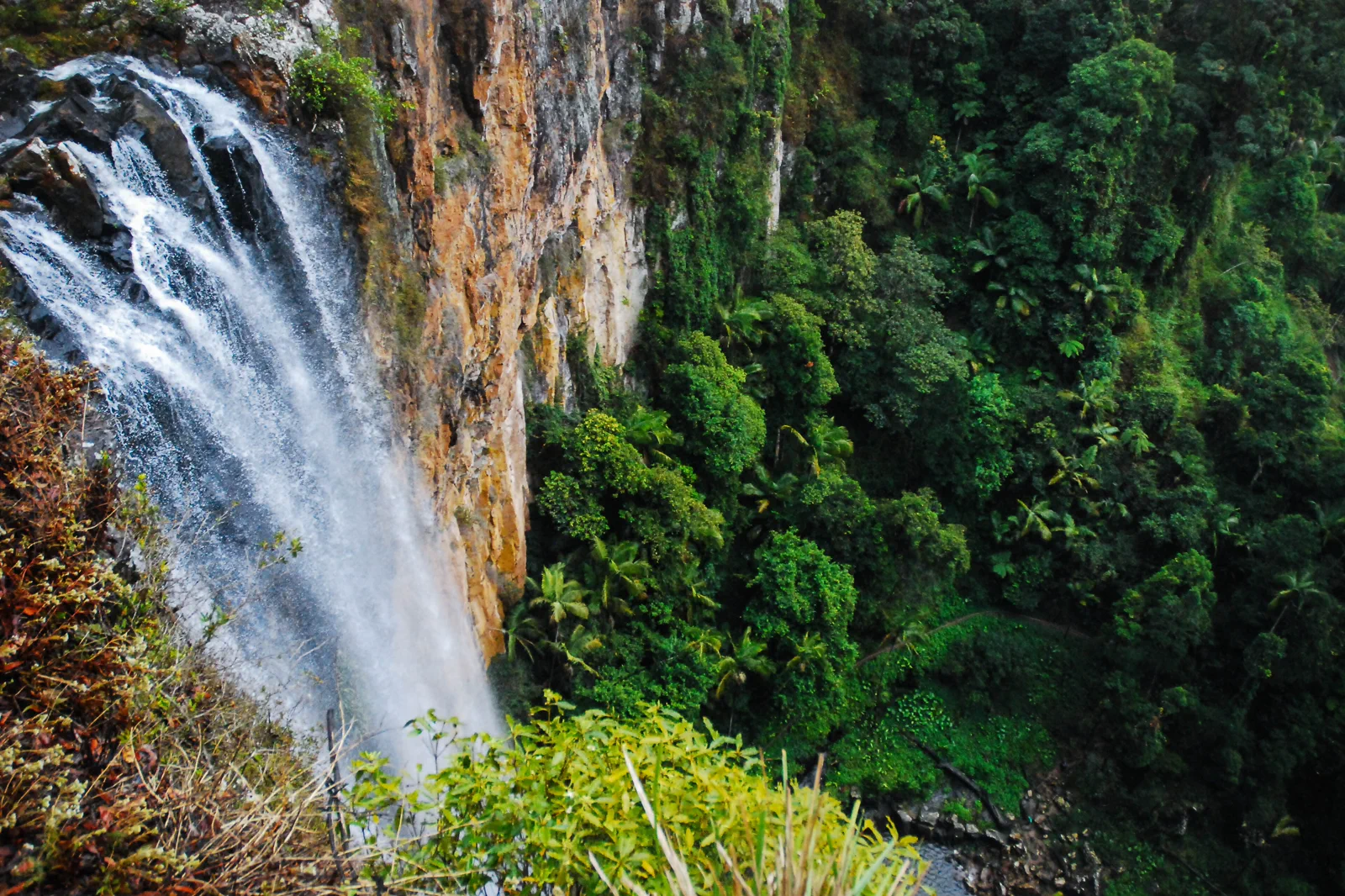
This page centers on the plateau. Natural Bridge is a separate drive via Nerang–Murwillumbah Road; Mount Cougal is another valley approach.
Purling Brook and Twin Falls each take about 2 hours on grade-3 track; choose a formal short lookout if rain, time or fitness makes that a poor fit.
Compare a location-specific forecast and warnings with Queensland Parks alerts and QLDTraffic before driving; coastal weather can differ from the plateau.
A park of separate sections, not one circuit.
Use this chapter for the Springbrook plateau. It is a different driving choice from Natural Bridge in Numinbah Valley and Mount Cougal in Currumbin Valley; joining all three on a rainy day creates long, winding transfers and little time on foot. Decide between a grade-3 waterfall walk and a short lookout visit before climbing. Coastal sunshine is not proof of a clear plateau: cloud can hide viewpoints, and significant rain can close tracks even while the coast remains workable.
Let rainfall set the route length.
In dry, settled weather, commit to one named circuit. After significant rain, the park may close parts of Purling Brook; check the current alert before leaving and again at the trailhead.
A route with an exit built in.
Choose the road section
Pick the Springbrook plateau. Keep Natural Bridge and Mount Cougal as separate outings unless current driving time, weather and daylight clearly support an extra transfer.
Match walking to the day
Choose Purling Brook (grade 3, 4km return/about 2hr), Twin Falls (grade 3, 4km/about 2hr) or a short formal lookout such as Canyon or Best of All.
Recheck after rain
Read park alerts and road status before departure. If the waterfall walk is closed or its creek/rock conditions are poor, use only a currently open lookout; never descend to a restricted base or creek.
Return before visibility fades
Allow for the winding descent, fuel and the actual sunset. Turn around when cloud, rain or fatigue makes the road less safe, even if one more viewpoint remains.
Three reasons to change the plan.
Coast and plateau weather differ
Cloud may cover a lookout on an otherwise sunny coast day. Heavy rain can cause slippery trails, flash water and track or road closures.
A “short” waterfall stop is still a walk
The two main circuits listed here are grade 3 and about 4km return. Behind-waterfall rocks can stay slippery; stay on the formed track and supervise children.
Current facility alert
On 12 October 2026, Queensland Parks listed Tallanbana trailhead toilets closed through 29 January 2027. Recheck the alert before travel; do not rely on that facility being open.
Access is never implied by proximity.
Springbrook sits within protected rainforest and waterfall country with restricted cliff, cascade and creek areas. Follow the marked route and signs; do not enter restricted areas at Purling Brook, Cave Creek or other waterways, and do not swim in Natural Bridge’s Cave Creek. Treat the plateau, the glow-worm cave and creek banks as places with specific protection rules, not photo access.
Four related field chapters.
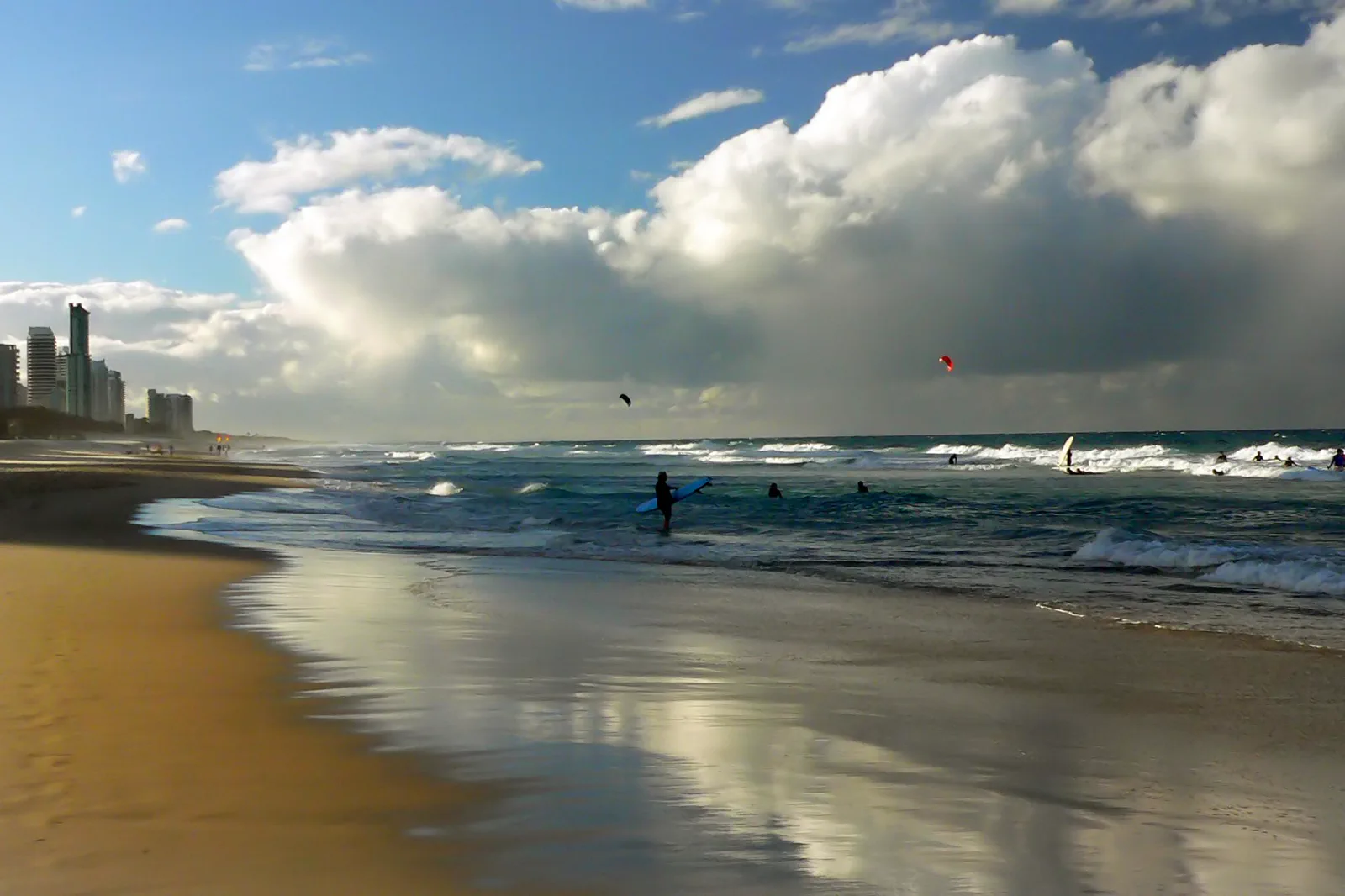
Surfers Paradise & Broadbeach
A rail-led urban coast day that chooses the L1 station for the actual beach, venue and return; bathing, heat…
Open the field guide →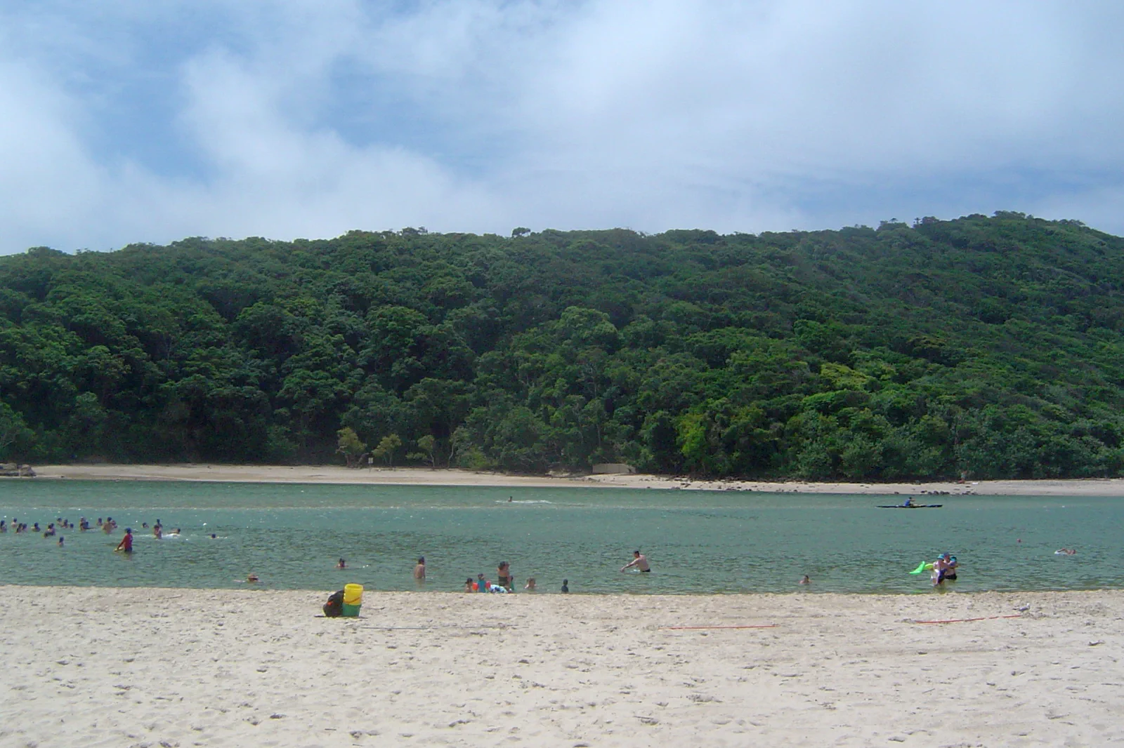
Burleigh Heads & Tallebudgera
A Burleigh Head track-and-water decision: use the current L1 terminus, choose an open formed track, then…
Open the field guide →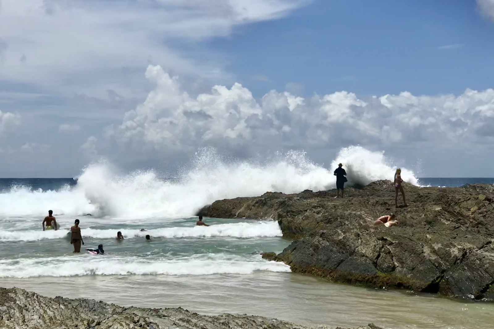
Coolangatta & Snapper Rocks
A southern coast day that separates Point Danger’s land views, Snapper Rocks’ surf and a patrolled beach, with…
Open the field guide →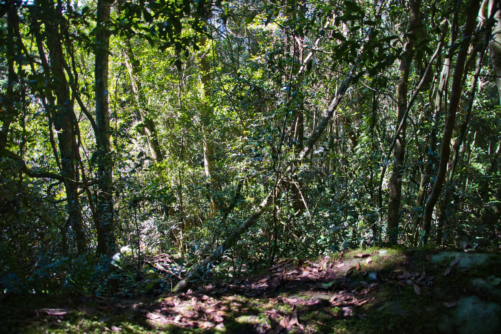
Lamington National Park
Choose the Green Mountains or Binna Burra gateway before leaving the coast; each has its own winding access…
Open the field guide →Springbrook National Park FAQ
Can I combine the plateau and Natural Bridge?
They are different park sections reached by separate road approaches. Natural Bridge is about 38km from Nerang along Nerang–Murwillumbah Road; decide on that section before driving instead of assuming it is the next stop after a plateau walk.
Which waterfall walk is realistic?
Purling Brook Falls and Twin Falls are each listed as grade 3 and 4km return, around two hours walking. Allow longer for rests and the drive. After significant rain, park alerts may close part of a track.
What is the short alternative?
Canyon Lookout is a grade-1, 30m return walk. Best of All Lookout is a grade-2, 600m return walk with an official estimate of about 30 minutes. Check the current alert and weather even for a short visit.
Are Natural Bridge creek and waterfall bases open for swimming?
No. Queensland Parks prohibits access to Cave Creek and its bank in the restricted area, including swimming. At Purling Brook, obey the separate restricted zones at the top and base.
Official sources and photo credits
Planning facts and image licenses were reviewed on 12 October 2026. Access, weather, transport, fire, marine and operator conditions change; verify directly before travel.
- Queensland Parks — Springbrook journeys, track grades and alerts.
- Queensland Parks — Springbrook access roads and safety.
- Queensland Traffic — live road conditions.
- Australian Bureau of Meteorology — Gold Coast forecast and warnings.
- Surfers Paradise Beach with skyline.jpg — Bernard Spragg. NZ from Christchurch, New Zealand, CC0. Resized, display-cropped and converted to WebP; no other material edits.
- Burleigh Heads and Tallebudgera Creek 2.JPG — Shiftchange, Public domain. Resized, display-cropped and converted to WebP; no other material edits.
- Snapper Rocks, Coolangatta, Gold Coast, Queensland 03.jpg — Kgbo, CC BY-SA 4.0. Resized, display-cropped and converted to WebP; no other material edits.
- PurlingBrookFallsSpringbrook.jpg — Ena Music, CC BY-SA 4.0. Resized, display-cropped and converted to WebP; no other material edits.
- Complex notophyll vine forest Border Track Lamington National Park Queensland IMGP2608.jpg — John Robert McPherson, CC BY-SA 4.0. Resized, display-cropped and converted to WebP; no other material edits.