Blue Mountains & NSW Coast Use the escarpment rail line as a gateway, then choose one checked park leg.
Blue Mountains & NSW Coast is a family of distinct trips, not a single day-trip circuit. The westbound rail corridor reaches station towns; it does not deliver you to every escarpment track, and a coast or bay transfer is a separate regional plan. Choose one gateway, count the return as part of the route, and check the live park alert before choosing a descent. On 12 October 2026, NPWS alerts included closures around Wentworth Falls, Katoomba and Blackheath; the short safe plan is a currently open formal lookout or town visit, not an assumed canyon loop.
- Useful stay
- For a two- or three-night mountain stay, sleep in Katoomba if the Three Sisters precinct anchors the plan, in Wentworth…
- Transfer logic
- Transport for NSW rail connects the mountain station towns, but local buses, taxis, walking distances and park trailheads…
Choose the operating system, then the place.
Every card opens a full route with transport, access, weak points, official sources and visible image provenance.
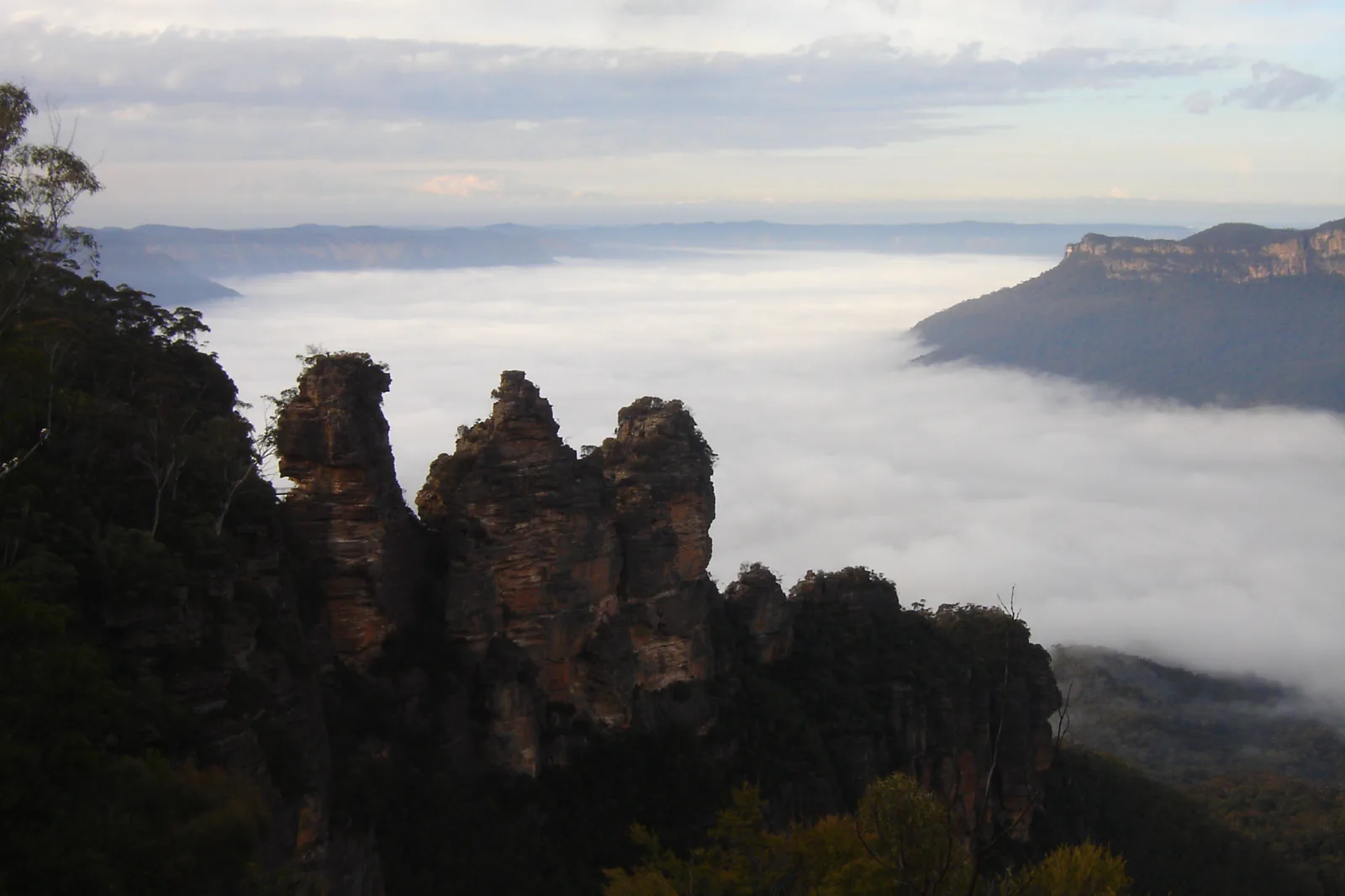
Katoomba & Echo Point
A station-to-escarpment Katoomba plan with the Three Sisters formal lookout as a complete short outing, plus an optional, alert-dependent path rather than an assumed descent.
Open the field guide →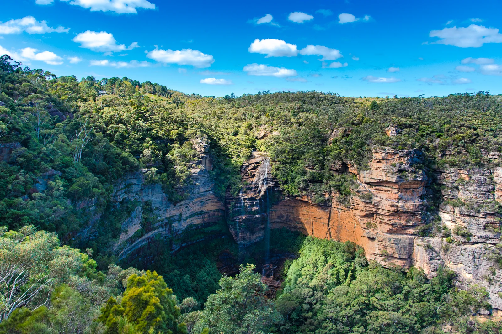
Wentworth Falls & Tableland
A Wentworth Falls station-area plan that separates the upper lookout from steep waterfall tracks and makes the climb back, active closures and a no-descent alternative explicit.
Open the field guide →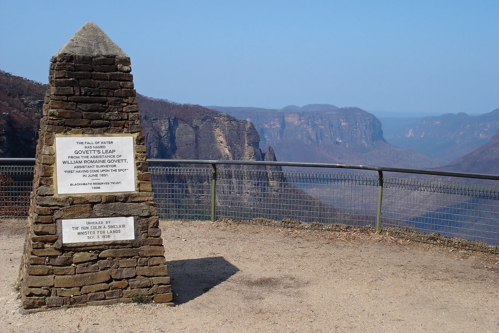
Blackheath & Grose Valley
A Blackheath-based Grose Valley plan that treats Govetts Leap as a complete formal lookout visit and any descent as a separate remote, closure-dependent undertaking.
Open the field guide →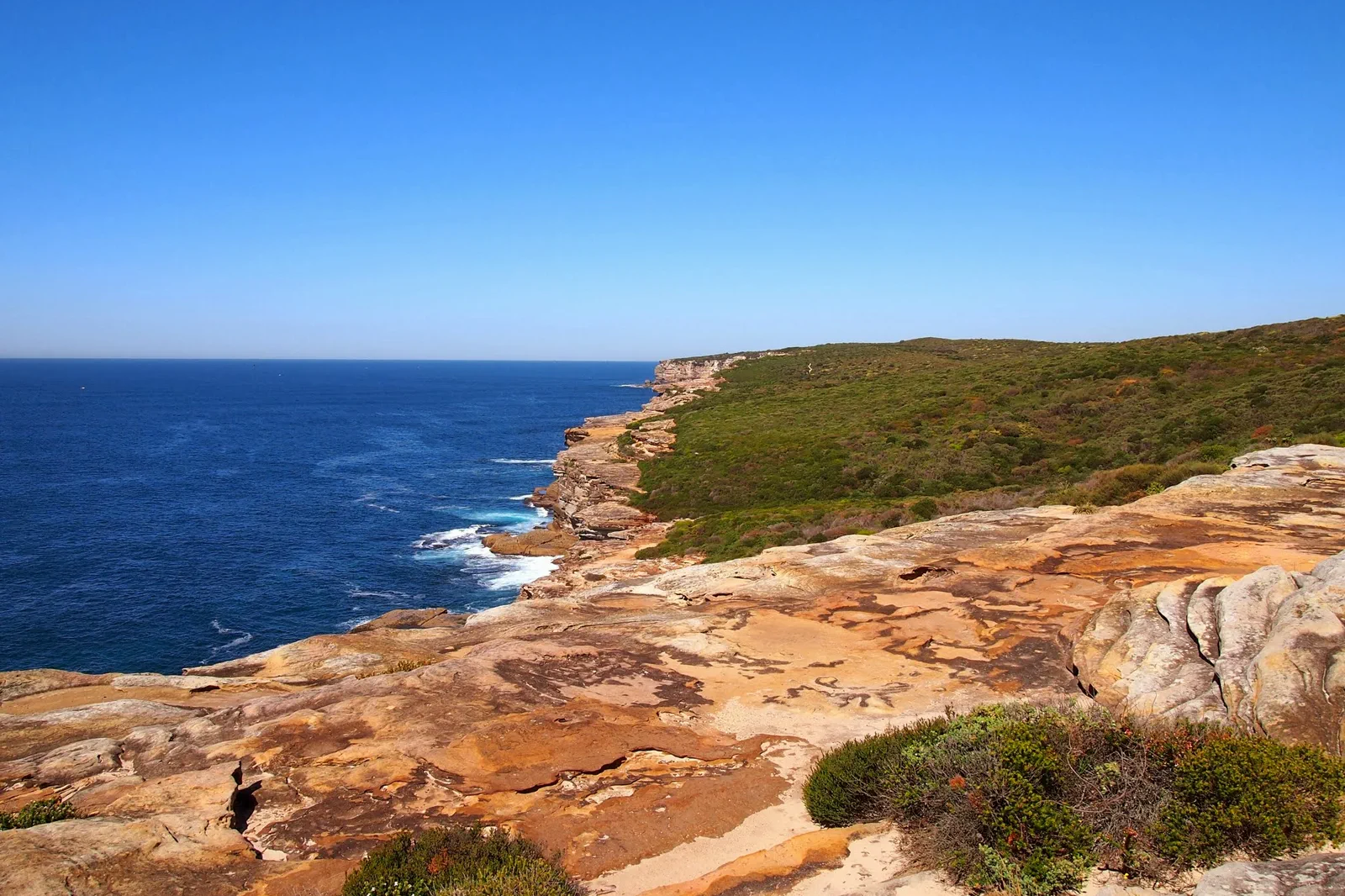
Royal National Park Coast
A coastal national-park day built around the chosen trailhead, legal parking or train access, tide, heat and a credible exit.
Open the field guide →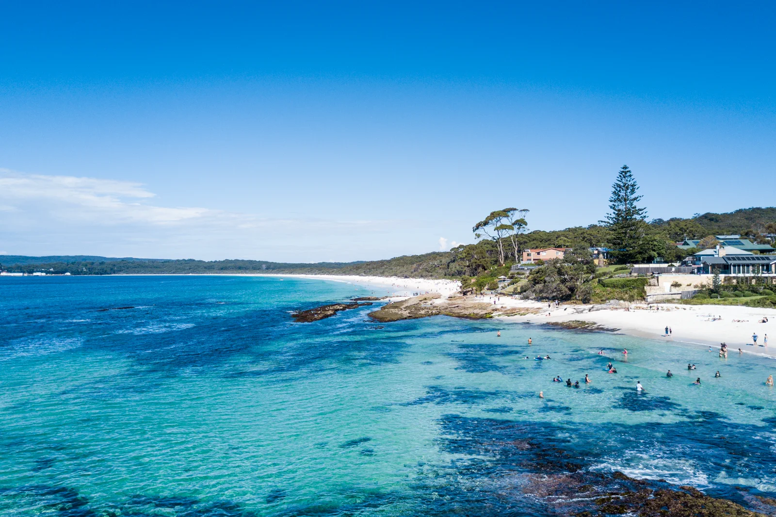
Jervis Bay & Booderee
A bay-and-park visit that separates town beaches from Booderee National Park, with entry, camping, wildlife and Traditional Owner guidance made explicit.
Open the field guide →Distance is part of the content.
Australia punishes invisible transfer time. These five contracts keep the route honest.
Sleep near the first decision.
For a two- or three-night mountain stay, sleep in Katoomba if the Three Sisters precinct anchors the plan, in Wentworth Falls village if you want an early local start, or in Blackheath for Govetts Leap and upper Grose viewpoints. Compare accommodation with the actual station-to-park last mile, luggage storage, meal access and the last practical return; a station address alone does not solve trail access. The coast chapters need their own base near the selected park or bay and should not be day-tripped from a mountain bed.
Name the road, rail, ferry or operator.
Transport for NSW rail connects the mountain station towns, but local buses, taxis, walking distances and park trailheads are separate links whose operation varies by date. Check the trip planner and live alerts both ways before booking; allow slack for a missed local connection and never make a remote track depend on an unverified ride. For Royal National Park or Jervis Bay, start a new road or operator plan and verify its own parking, return and weather constraints.
Permission and guidance come first.
Use recognised Traditional Owner language and visitor guidance. Do not infer access to cultural places, communities or Country from an online pin.
One national forecast is not enough.
Check the local fire, flood, surf, marine, alpine, heat or cyclone condition that actually governs the selected chapter.
Protect the last safe movement.
Every field guide declares a return, turnaround or overnight before adding optional distance.
Do not clear the map in one day.
Katoomba & Echo Point
Use the first hour to settle bags, water and the return plan in town.
Field 02Wentworth Falls & Tableland
Choose the upper-lookout option as the baseline and set a named turnaround before considering any…
Field 03Blackheath & Grose Valley
Start in Blackheath with the alert page and local forecast open.
Field 04Royal National Park Coast
Begin early, keep swimming separate from walking, reassess at every exit and finish before heat or…
Field 05Jervis Bay & Booderee
Visit the Booderee visitor information point or current online guidance, select one beach or botanic…
Choose the station-town; plan the last mile.
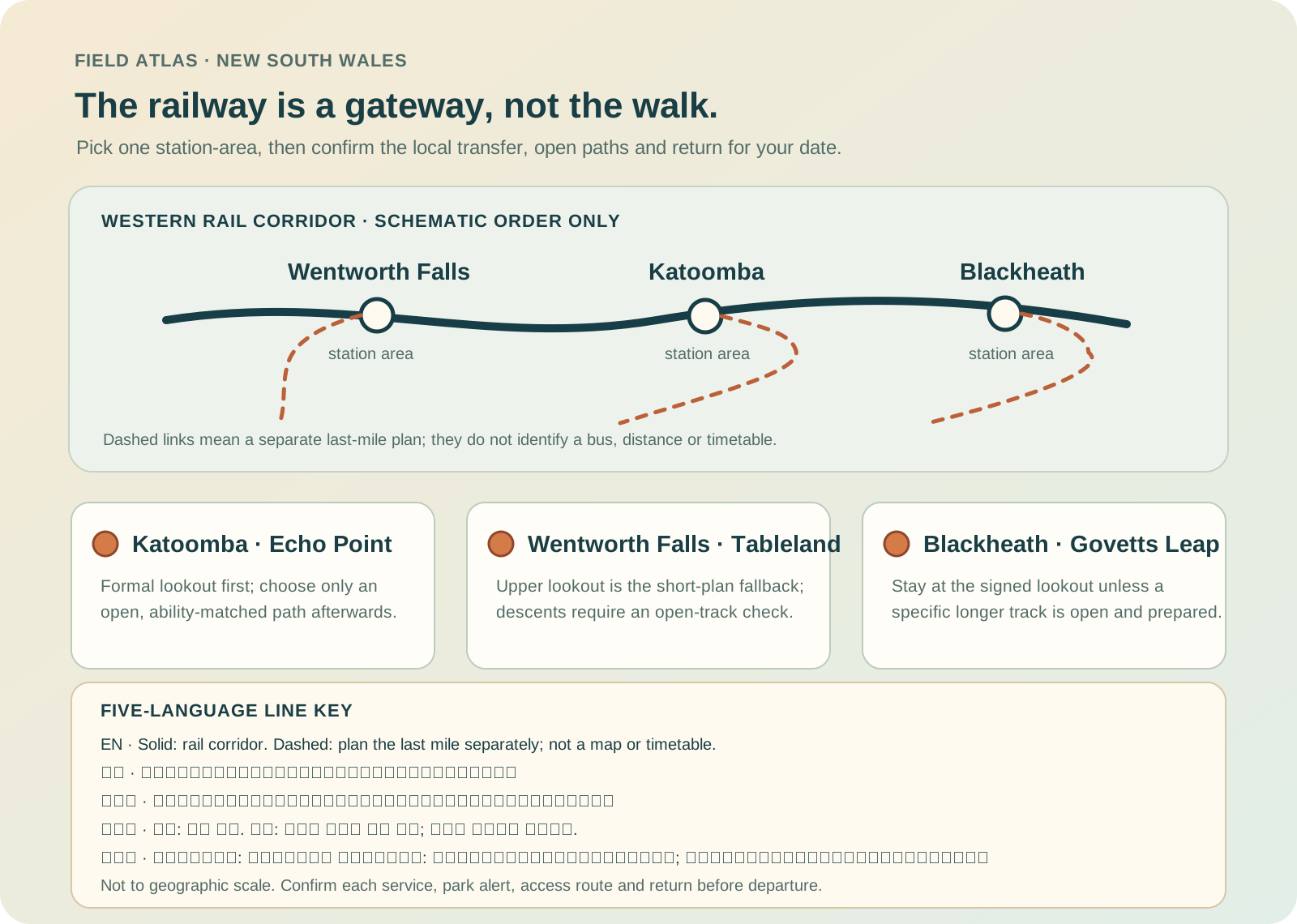
The rail corridor and a park trailhead are separate legs. Verify both ends, live closures and the return with the responsible operator before leaving.
A useful route depends on the number of days and the operating system.
These examples group real places and protect the return. Check live services, openings, access and weather before fixing the order.
one mountain gateway
Arrive with daylight, stay in one station town, and use the first full day for one formal lookout plus an open short walk only if the alert permits it. Keep the second day as the chosen mountain chapter or a weather reserve; leave the other gateway for another trip. On the 12 October 2026 alert snapshot, make a lookout-and-town day the default and switch to a descent only after the exact route is confirmed open.
three station towns, selectively
Choose one base rather than moving bags nightly. One day each can serve Katoomba, Wentworth Falls and Blackheath only if the live local transfers work; otherwise choose two and use the spare as a closure/weather buffer. Start with the trip that has the narrowest access window, and keep each day’s return in the same town. Avoid connecting an open lookout to a closed descent just because they share a map label.
mountains plus a separate coast base
Give the mountains at least three nights, then transfer to one coast gateway for the remaining nights; price and verify that inter-regional move before booking. Choose either Royal National Park coast or Jervis Bay/Booderee rather than trying both as day trips. Keep one flexible day for park alerts, rain, fire or a missed connection. The mountain and coast chapters are separate itineraries, not an efficient single loop.
Blue Mountains & NSW Coast FAQ
How many nights do the Blue Mountains need?
One night can support a narrow station-town and formal-lookout visit with an early start, but two or three nights make room for a route-specific track choice, return margin and a closure fallback. A descent is not required for a complete visit.
Should I stay in Katoomba, Wentworth Falls or Blackheath?
Match the bed to the first confirmed gateway: Katoomba for Echo Point, Wentworth Falls for the upper falls precinct, Blackheath for Govetts Leap. Check the last-mile connection and evening food before choosing. A train station is not the trailhead.
Can I combine the Blue Mountains and the NSW coast?
Yes as a multi-night transfer, not as a quick add-on to one mountain day. Move to a coast-side base and verify the new road/operator and park plan. Keep at least one reserve day if the trip depends on tracks or weather.
What was closed at the latest review?
On 12 October 2026, NSW National Parks listed several closures, including parts of National Pass, Wentworth Pass/Slack Stairs, Valley of Waters below Sylvia Falls, a Prince Henry Cliff Walk section, and parts of Govetts Leap descent/Rodriguez Pass. These are dated observations, not a promise about later dates. Open the live alert and follow signs before every outing.
Official sources and photo credits
Planning facts and image licenses were reviewed on 12 October 2026. Recheck transport, park, fire, weather, marine and operator conditions before travel.
- NSW National Parks — Blue Mountains visitor information.
- NSW National Parks — live Blue Mountains alerts.
- Transport for NSW — trip planner.
- Destination NSW — Blue Mountains.
- NSW National Parks — Royal National Park.
- Parks Australia — Booderee National Park.
- Transport for NSW — regional service planning.
- TripDistill original Blue Mountains rail gateway planning schematic — TripDistill Editorial Team, Project original; no separate reuse license declared. Not to geographic scale; the lines do not establish rail service, last-mile transport, distance, direction or access. The five-language key explains the solid and dashed lines.
- Three Sisters, Blue Mountains (1).jpg — Alicia Brogan ( Ali b at English Wikipedia ), CC BY-SA 3.0. Resized, display-cropped and converted to WebP; no other material edits.
- Wentworth Falls from Princes Rock.jpg — Lschoen, CC BY-SA 4.0. Resized, display-cropped and converted to WebP; no other material edits.
- Govetts Leap - Blue Mountains - panoramio.jpg — Pavel Špindler, CC BY 3.0. Resized, display-cropped and converted to WebP; no other material edits.
- Royal National Park Coast Track - panoramio.jpg — Maurice van Creij, CC BY 3.0. Resized, display-cropped and converted to WebP; no other material edits.
- Hyams Beach. Booderee National Park & Jervis Bay Marine Park.jpg — Charliekay, CC BY-SA 4.0. Resized, display-cropped and converted to WebP; no other material edits.