Wentworth Falls & Tableland waterfall descent budget.
A Wentworth Falls station-area plan that separates the upper lookout from steep waterfall tracks and makes the climb back, active closures and a no-descent alternative explicit.
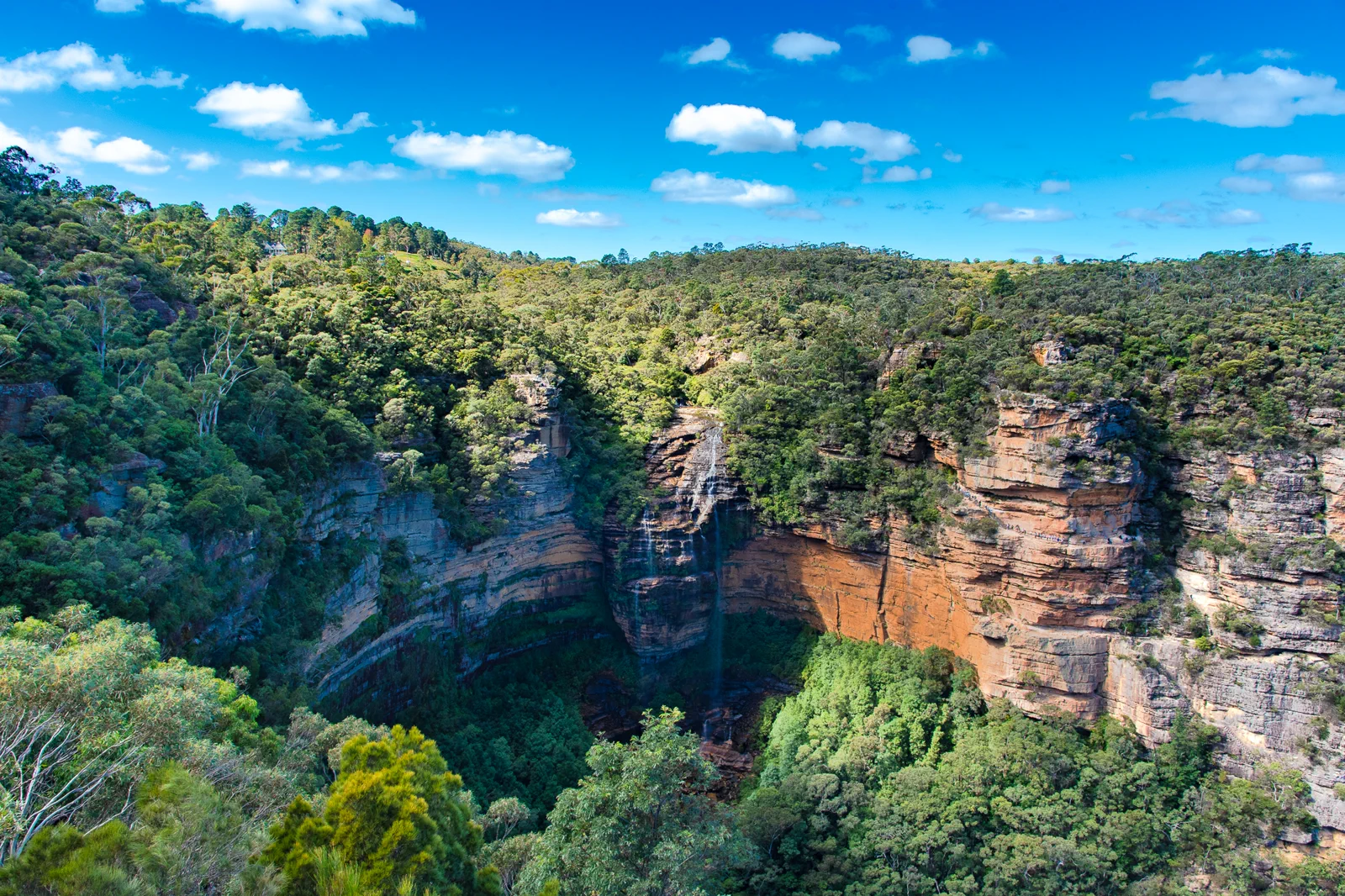
Use two nights near Wentworth Falls or Katoomba for one upper-lookout day and a separate, conditional track day. A Sydney day trip should target the upper precinct only.
Write down the open track endpoint and a time to turn back before descending; the return climb and transport margin count toward the route.
If rain, recent runoff, stairs, closure or service timing breaks the descent plan, stay at an open upper viewpoint or make it a village day.
The descent is optional; the climb back is not.
Treat the Wentworth Falls village, the top-of-falls lookouts and each lower walking track as different route choices. A short upper-precinct outing can be worthwhile without descending. The NPWS Wentworth Falls to Leura route is a much longer 11 km one-way, grade 3 walk with an indicated 5–7 hours; it is not a substitute for the upper lookout and must not be planned as an open through-route while linked closures remain. On the 12 October 2026 alert snapshot, NPWS listed closures affecting parts of National Pass, Wentworth Pass/Slack Stairs and the Valley of Waters below Sylvia Falls.
A route with an exit built in.
Select an open route
Read the live local alert and the exact NPWS walking-track page. Name the open start and turnaround; if the intended link crosses a closure, remove that loop rather than searching for a bypass.
Assess from above
Use a signed upper lookout to read visibility, wind and recent water conditions. Check whether paths are wet and whether the group can safely manage stairs in both directions.
Spend the descent budget
Proceed only on an open route matching the group’s grade and time. Carry water, count the uphill return and stop before fatigue affects balance. The upper precinct remains a valid endpoint.
Close with daylight
Reverse the known route early enough for the village, park exit and planned station or parking return. If a service changes, use the named alternate transfer or stay overnight; do not rush a steep climb to catch the last connection.
Three reasons to change the plan.
Closed or linked sections
As checked on 12 October 2026, several popular waterfall tracks and connections had active closures, including Wentworth Pass/Slack Stairs and parts of National Pass and Valley of Waters. Conditions can change; read the live alert and all trailhead signs.
Wet steps and runoff
Mist, rain and runoff can make stairs slippery and watercourses hazardous. Postpone a descent after heavy rain or when footing, visibility or official warnings are poor; never enter a channel.
Downhill energy illusion
A descent spends the climb-back budget before the group feels tired. Keep the least fit walker’s pace, water and daylight margin in charge, and turn back before balance declines.
Access is never implied by proximity.
Waterfall volume does not make a closed track safe. Protect vegetation, stay behind barriers, keep out of pools and cliff drainage lines, and never use a closed track as a shortcut between open sections.
Four related field chapters.
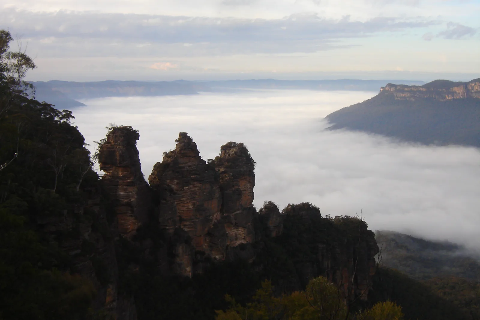
Katoomba & Echo Point
A station-to-escarpment Katoomba plan with the Three Sisters formal lookout as a complete short outing, plus…
Open the field guide →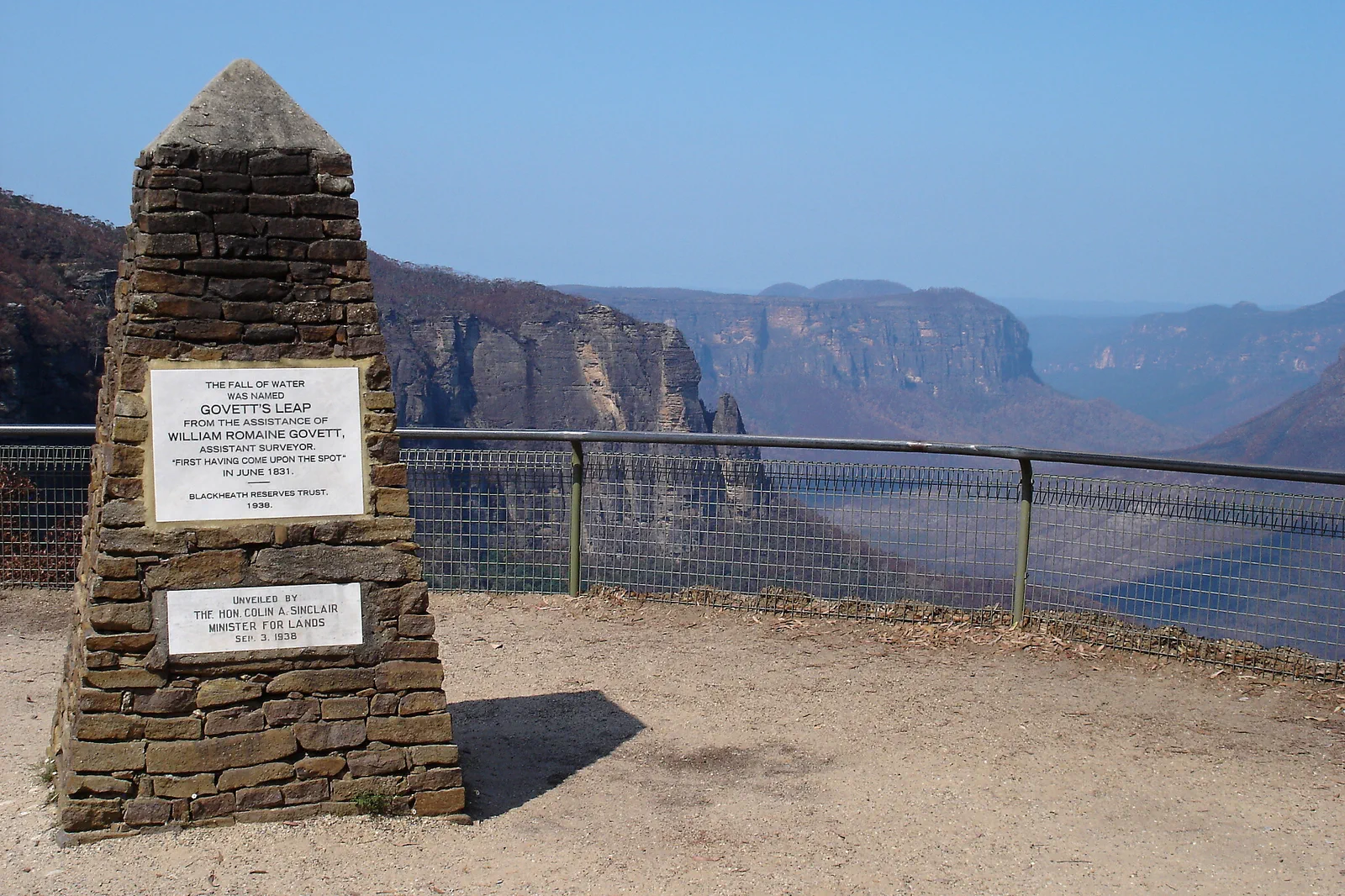
Blackheath & Grose Valley
A Blackheath-based Grose Valley plan that treats Govetts Leap as a complete formal lookout visit and any…
Open the field guide →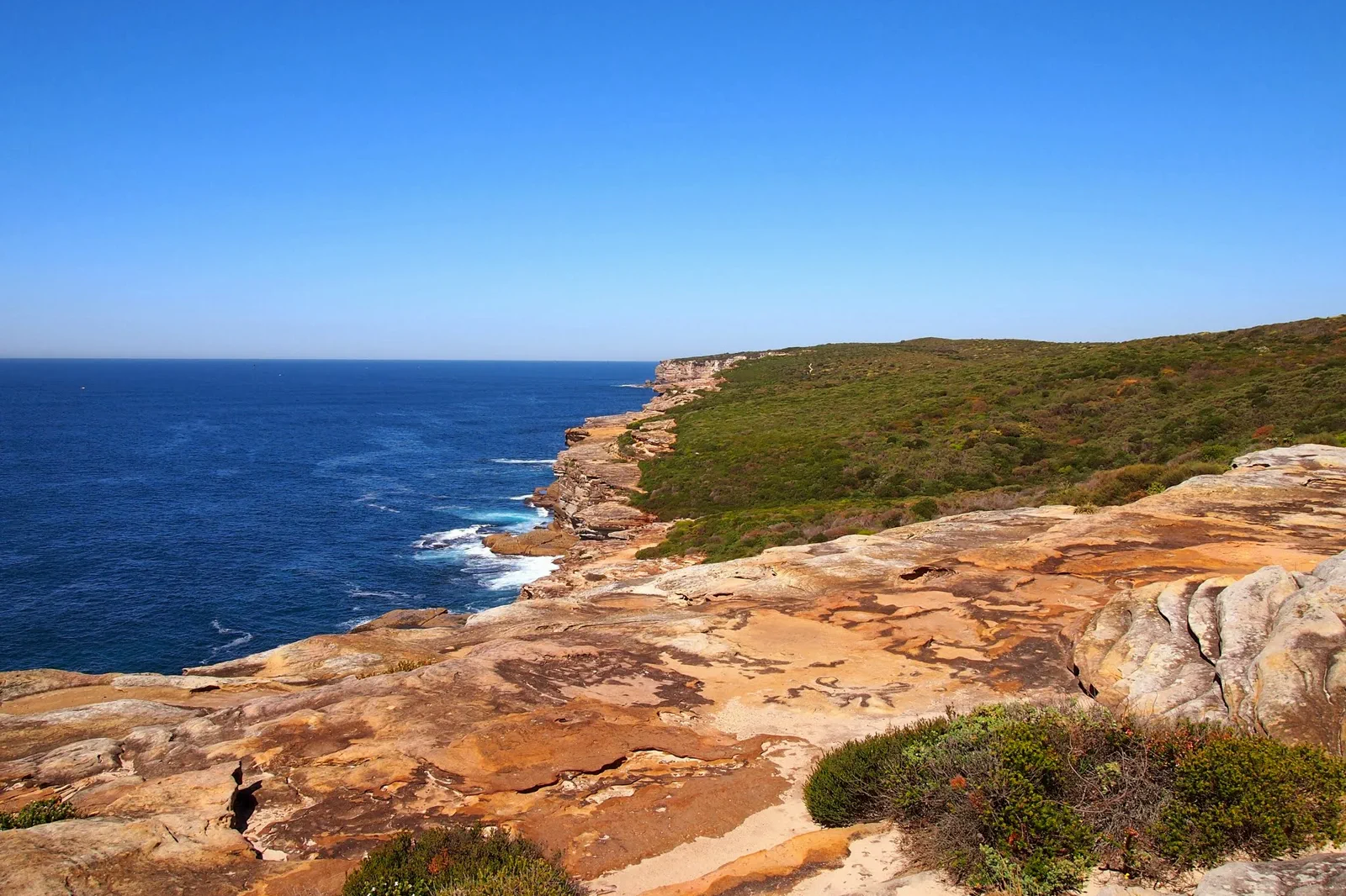
Royal National Park Coast
A coastal national-park day built around the chosen trailhead, legal parking or train access, tide, heat and a…
Open the field guide →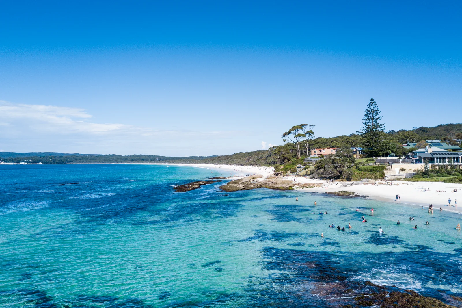
Jervis Bay & Booderee
A bay-and-park visit that separates town beaches from Booderee National Park, with entry, camping, wildlife…
Open the field guide →Wentworth Falls & Tableland FAQ
How many nights do I need?
Two nights near the selected gateway give one full day and a buffer. A same-day Sydney visit is a narrow upper-lookout plan after you verify both transfers; it is not a sensible default for a descent.
Is Wentworth Falls to Leura an easy extension?
No. NPWS lists it as 11 km one way, grade 3, and about 5–7 hours before transfers. It needs a separate open-route check, a one-way exit plan and enough daylight. Current linked closures may make it unavailable.
What if my planned waterfall track is closed?
Do not use a different trail to get around the closure or infer that a connection is open. Stay with a signed, currently open upper viewpoint, visit the village, or move the walk to another day.
Do recent rains make the falls safer to visit?
They may increase flow while also increasing runoff, slippery surfaces and closure risk. Follow current NPWS warnings and use a formal lookout rather than entering water or a closed descent.
Official sources and photo credits
Planning facts and image licenses were reviewed on 12 October 2026. Access, weather, transport, fire, marine and operator conditions change; verify directly before travel.
- Transport for NSW — trip planner.
- NSW National Parks — Blue Mountains visitor information.
- NSW National Parks — current park alerts.
- NSW National Parks — Wentworth Falls to Leura walk details.
- Three Sisters, Blue Mountains (1).jpg — Alicia Brogan ( Ali b at English Wikipedia ), CC BY-SA 3.0. Resized, display-cropped and converted to WebP; no other material edits.
- Wentworth Falls from Princes Rock.jpg — Lschoen, CC BY-SA 4.0. Resized, display-cropped and converted to WebP; no other material edits.
- Govetts Leap - Blue Mountains - panoramio.jpg — Pavel Špindler, CC BY 3.0. Resized, display-cropped and converted to WebP; no other material edits.
- Royal National Park Coast Track - panoramio.jpg — Maurice van Creij, CC BY 3.0. Resized, display-cropped and converted to WebP; no other material edits.
- Hyams Beach. Booderee National Park & Jervis Bay Marine Park.jpg — Charliekay, CC BY-SA 4.0. Resized, display-cropped and converted to WebP; no other material edits.