Royal National Park Coast track-and-tide day.
Choose a 7.8 km return Bundeena–Marley day walk or plan the Royal Coast Track as its official 27 km, two-day route with a booked Garie Beach campsite and a transport plan at both ends.
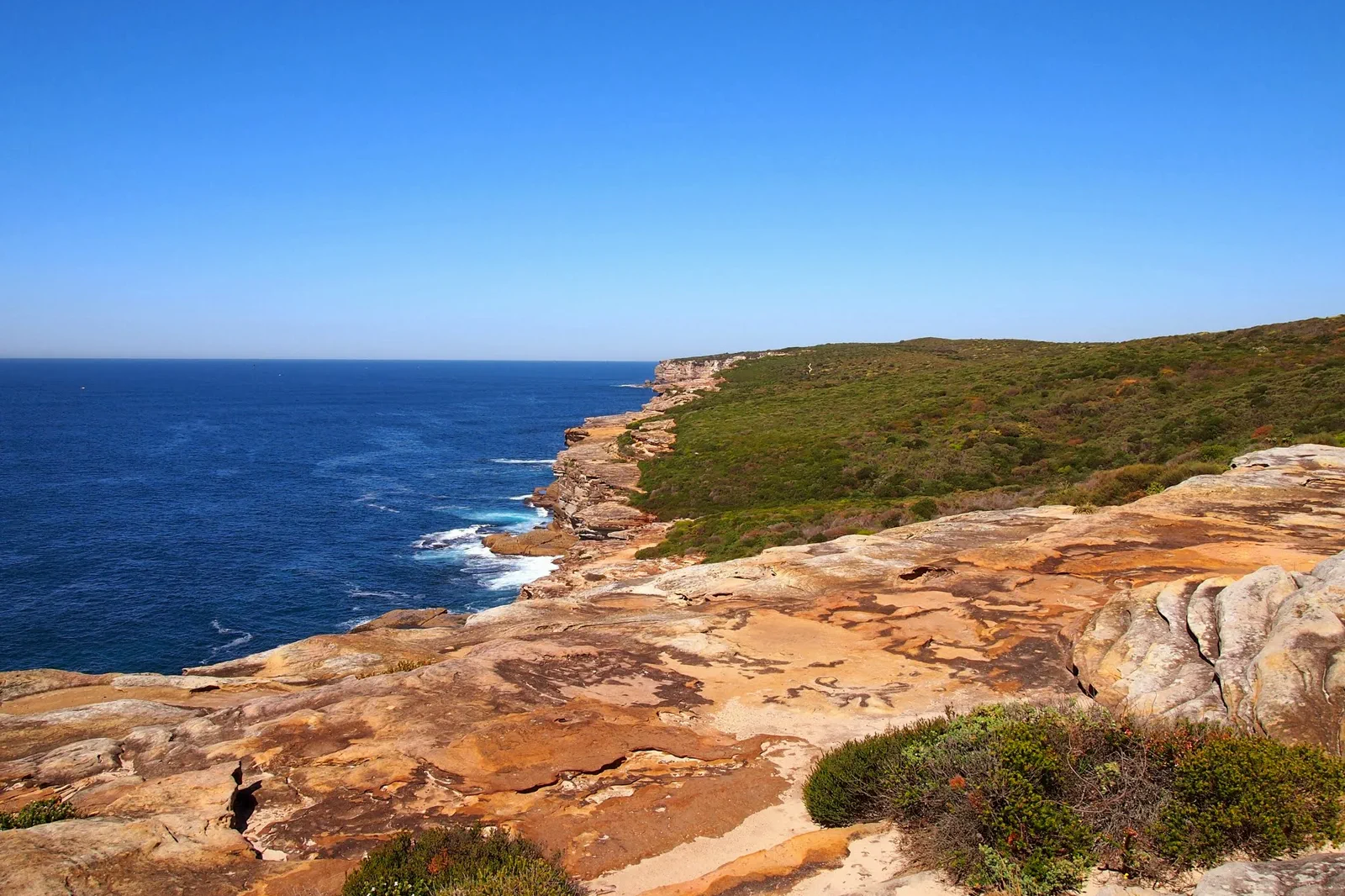
The 7.8 km Bundeena Drive–Marley route is a return walk. The 27 km Coast Track is a two-day, grade 4 one-way journey; it needs overnight gear and a booked Garie campsite.
Bundeena Drive, Wattamolla, Garie Beach, Garawarra Farm and Otford are distinct access points. Choose only the open section whose start, finish and return transport all work.
The open coast has long exposed stretches. Check fire, tide, surf and heat; carry enough food and water, and shorten the plan before fatigue changes footing.
Choose the return walk or the overnight crossing.
The Coast Track is a remote-grade coastal journey, not a casual add-on to Katoomba. NSW National Parks lists it at 27 km one way, grade 4 and two days; its Bundeena-to-Garie stage is 17 km and the Garie-to-Otford stage is 10 km. For a day outing, the separately described Bundeena Drive to Marley walk is a 7.8 km return, grade 3 route with a 3–4 hour suggested duration. Decide which route you mean before booking transport.
A one-way line changes the whole day.
The shorter route returns to the same Bundeena Drive trailhead. The full Coast Track crosses the park and ends at Otford; campsite booking, carried equipment and the southern return are part of the route itself.
Name the trailhead, check the track, protect the exit.
Select the route and both ends
Choose the short Bundeena Drive–Marley return or the full Bundeena–Otford crossing. Save the matching official map offline.
Clear today’s gates
Read NPWS track alerts and fire closures, then compare forecast, swell, tide and daylight with the exposed section.
Walk only the chosen section
For the day plan, follow Bundeena Drive to Marley and retrace. For the overnight, use the marked Coast Track and keep the booked Garie stop.
Exit on the plan you proved
Return to Bundeena Drive or continue to Otford station as selected. If a closure breaks the route, turn back to the last safe access point.
Three reasons to change the plan.
One-way transport failure
The park is not a circular track. A missing shuttle, ferry or train can leave a walker stranded; verify the complete chain and an alternate before starting.
Fire, heat and water
Park closure and fire status can override a route. Carry the water and equipment for the selected length, and turn back before the exposed section becomes unsafe.
Rock platforms and surf
Popular pools and ledges are not safe in all tides or swell. Never climb around a barrier or approach a cliff base for a photo.
Access is never implied by proximity.
The cliffs, rock shelves and tidal platforms are dangerous in swell and can be fragile or closed. Stay behind barriers, avoid unpatrolled water, follow fire and park closures, and respect the cultural and ecological significance of the park. A view is never permission to leave the formed route.
Four related field chapters.
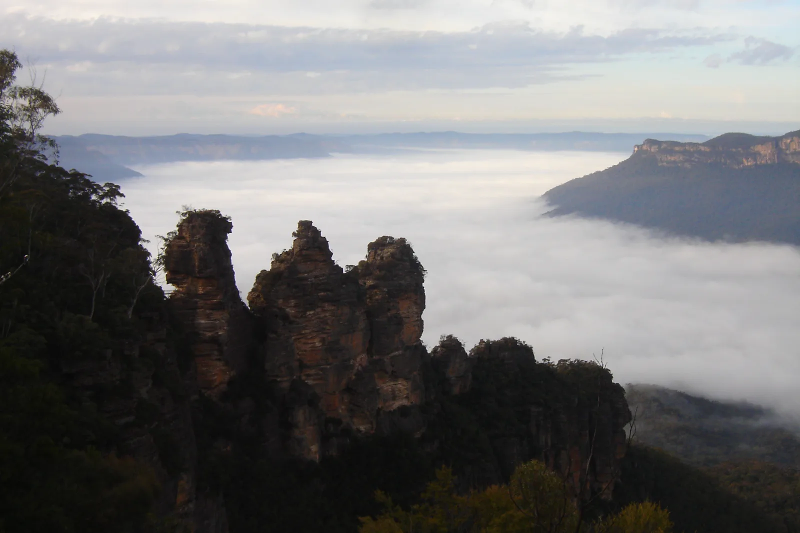
Katoomba & Echo Point
A station-to-escarpment Katoomba plan with the Three Sisters formal lookout as a complete short outing, plus…
Open the field guide →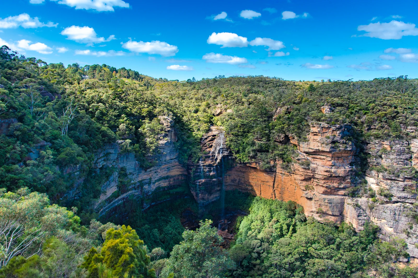
Wentworth Falls & Tableland
A Wentworth Falls station-area plan that separates the upper lookout from steep waterfall tracks and makes the…
Open the field guide →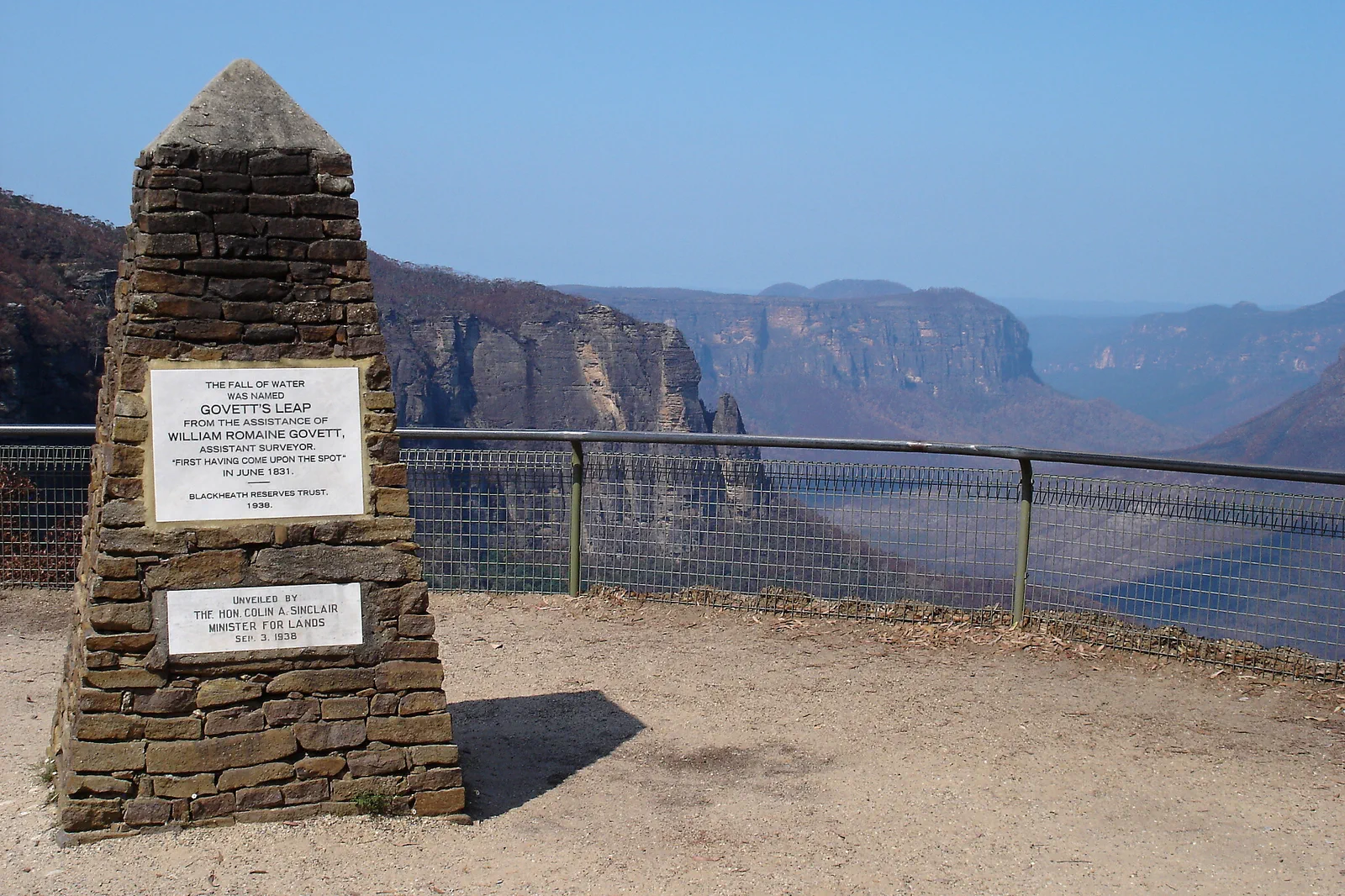
Blackheath & Grose Valley
A Blackheath-based Grose Valley plan that treats Govetts Leap as a complete formal lookout visit and any…
Open the field guide →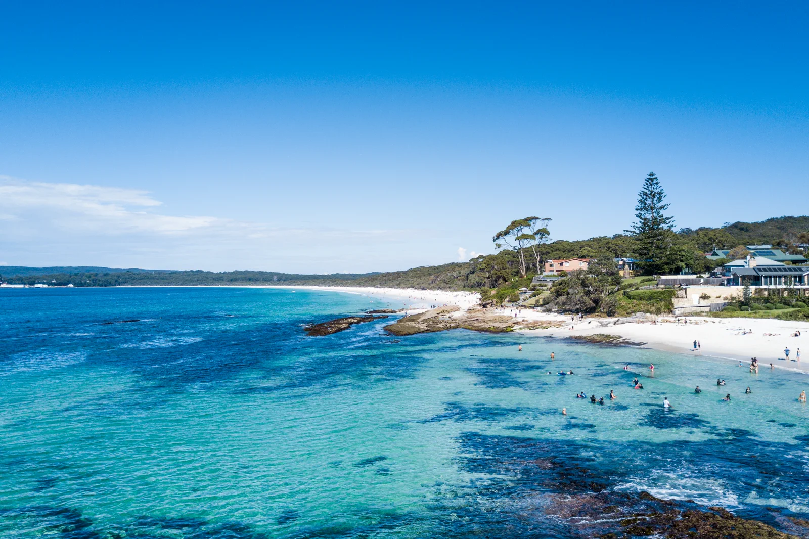
Jervis Bay & Booderee
Separate the NSW-side Jervis Bay National Park and town shoreline from Aboriginal-owned Booderee; pre-buy the…
Open the field guide →Royal National Park Coast FAQ
Can I walk the full Coast Track in one day?
NPWS presents it as a 27 km grade 4 multi-day walk and suggests two days. Plan the pre-booked Garie Beach overnight and the Otford finish rather than relying on a rushed same-day return.
What is a realistic day walk?
The official Bundeena Drive to Marley walk is 7.8 km return, grade 3, with a suggested 3–4 hours. It returns to its own trailhead; plan the last connection from Bundeena ferry separately.
Can I camp anywhere along the Coast Track?
No. NPWS says overnight stays at Garie Beach campground require an advance booking and have limited capacity. Confirm the official overnight arrangement before walking; do not substitute an unplanned beach camp.
Can I swim at Figure Eight Pools or a rock shelf?
Only if official access and conditions allow, and never by climbing barriers. Swell, tide and wave risk can make rock platforms hazardous even when the water looks clear.
Official sources and photo credits
Planning facts and image licenses were reviewed on 12 October 2026. Access, weather, transport, fire, marine and operator conditions change; verify directly before travel.
- NSW National Parks — Coast Track stages, grade, campsite and alerts.
- NSW National Parks — Bundeena Drive to Marley walk distance and grade.
- NSW National Parks — Royal National Park visitor information and closures.
- Transport for NSW — date-specific trailhead and Otford journey planner.
- Australian Bureau of Meteorology — Sydney-area forecast.
- Surf Life Saving Australia — beach and coastal hazard information.
- Three Sisters, Blue Mountains (1).jpg — Alicia Brogan ( Ali b at English Wikipedia ), CC BY-SA 3.0. Resized, display-cropped and converted to WebP; no other material edits.
- Wentworth Falls from Princes Rock.jpg — Lschoen, CC BY-SA 4.0. Resized, display-cropped and converted to WebP; no other material edits.
- Govetts Leap - Blue Mountains - panoramio.jpg — Pavel Špindler, CC BY 3.0. Resized, display-cropped and converted to WebP; no other material edits.
- Royal National Park Coast Track - panoramio.jpg — Maurice van Creij, CC BY 3.0. Resized, display-cropped and converted to WebP; no other material edits.
- Hyams Beach. Booderee National Park & Jervis Bay Marine Park.jpg — Charliekay, CC BY-SA 4.0. Resized, display-cropped and converted to WebP; no other material edits.