Jervis Bay & Booderee bay and Country permit.
Separate the NSW-side Jervis Bay National Park and town shoreline from Aboriginal-owned Booderee; pre-buy the vehicle pass, choose one open park route and recheck current beach and entry closures.
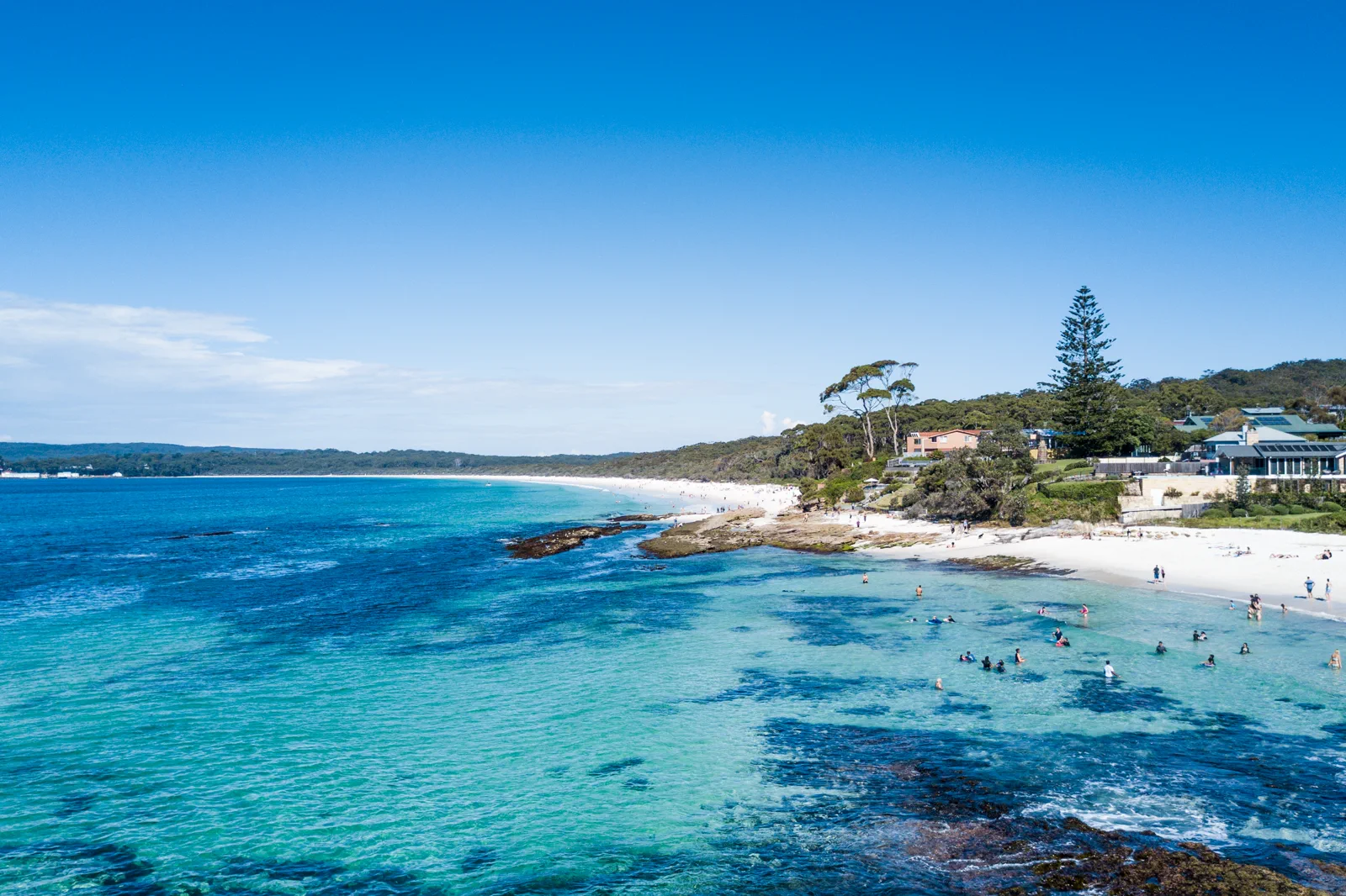
Hyams Beach and the NSW-side park are separate from Booderee. Pick one authority first; a nearby photo does not mean the park gate, road or beach rules are the same.
Buy the Booderee pass for a vehicle, but reserve Green Patch, Bristol Point or Cave Beach camping separately and early; the pass does not hold a site.
Choose one currently open beach area or a named signed walk. Every Booderee beach is unsupervised by lifeguards, and water conditions remain a separate decision.
Choose which park and which water authority.
“Jervis Bay” is a region, not one park gate. Hyams Beach sits on the NSW side near the separate Jervis Bay National Park; Booderee National Park is Aboriginal land in Jervis Bay Territory and is managed with the Wreck Bay Aboriginal Community. The hero photograph shows Hyams Beach looking toward Booderee, so it illustrates the neighboring shore rather than an interior park beach. Pick the authority and access system before choosing the day’s beach.
One blue bay, several different rule books.
The decision is not “which white beach looks closest?” It is which managing authority, park pass, reservation and water rules match the landscape you intend to visit.
Base, pass, one open landscape, verified return.
Choose the base and authority
Decide whether the day is a NSW-side town/Hyams visit or a Booderee park visit, then plan its actual road and return.
Buy the right access
For Booderee by vehicle, pre-purchase the current pass and check whether the entry station or alternative sales point is operating. Keep camping reservation separate.
Select one open area
Read Parks Australia alerts first. If Green Patch is open, choose its beach or a signed walk; consider the 2 km grade 2 loop only when the tide and footing fit.
Leave the bay safely
Check beach supervision, weather, park gate/road status and marine-zone rules; return to the base before the driver is fatigued.
Three reasons to change the plan.
Entry and beach closures
As checked 12 October 2026, Parks Australia reported the entry station temporarily closed and Murrays Beach and Iluka day-use access under repair. Recheck official notices and do not plan around either until reopened.
Unsupervised water
Parks Australia states Booderee beaches are not supervised by lifeguards. Clear water is not a safety assessment; follow current signs and supervise children directly.
Multiple authorities
A Booderee pass does not cover an NSW beach or every marine activity. Confirm the land manager, campsite reservation and marine zoning for each stop.
Access is never implied by proximity.
Booderee is Aboriginal land and jointly managed with the Wreck Bay Aboriginal Community. Respect community direction, cultural places, habitat and wildlife; do not feed animals or enter closed sites. Hyams Beach, Booderee beaches and the wider Jervis Bay Marine Park do not share one entry pass or identical water rules.
Four related field chapters.
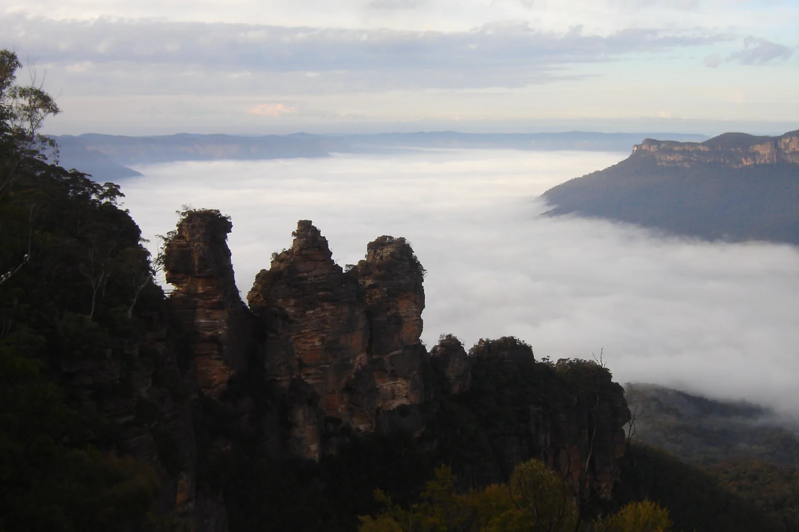
Katoomba & Echo Point
A station-to-escarpment Katoomba plan with the Three Sisters formal lookout as a complete short outing, plus…
Open the field guide →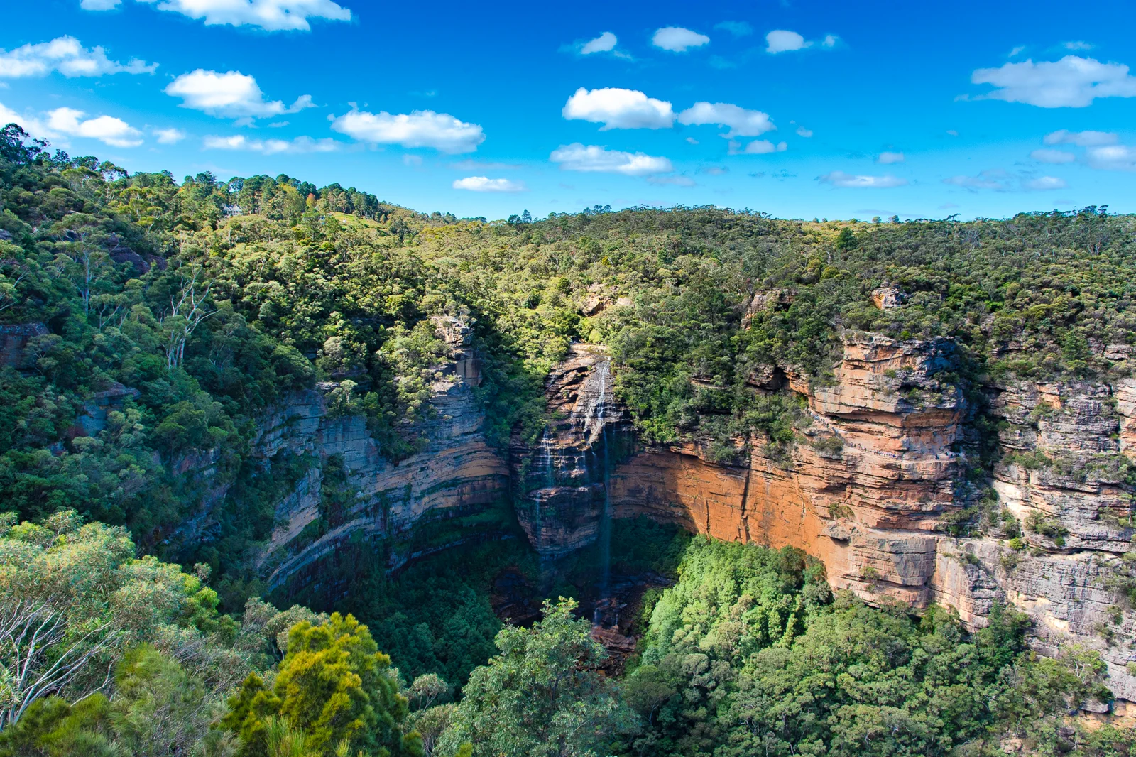
Wentworth Falls & Tableland
A Wentworth Falls station-area plan that separates the upper lookout from steep waterfall tracks and makes the…
Open the field guide →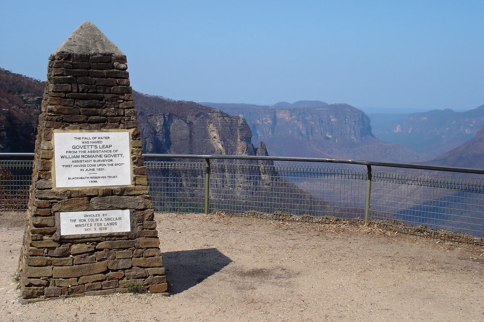
Blackheath & Grose Valley
A Blackheath-based Grose Valley plan that treats Govetts Leap as a complete formal lookout visit and any…
Open the field guide →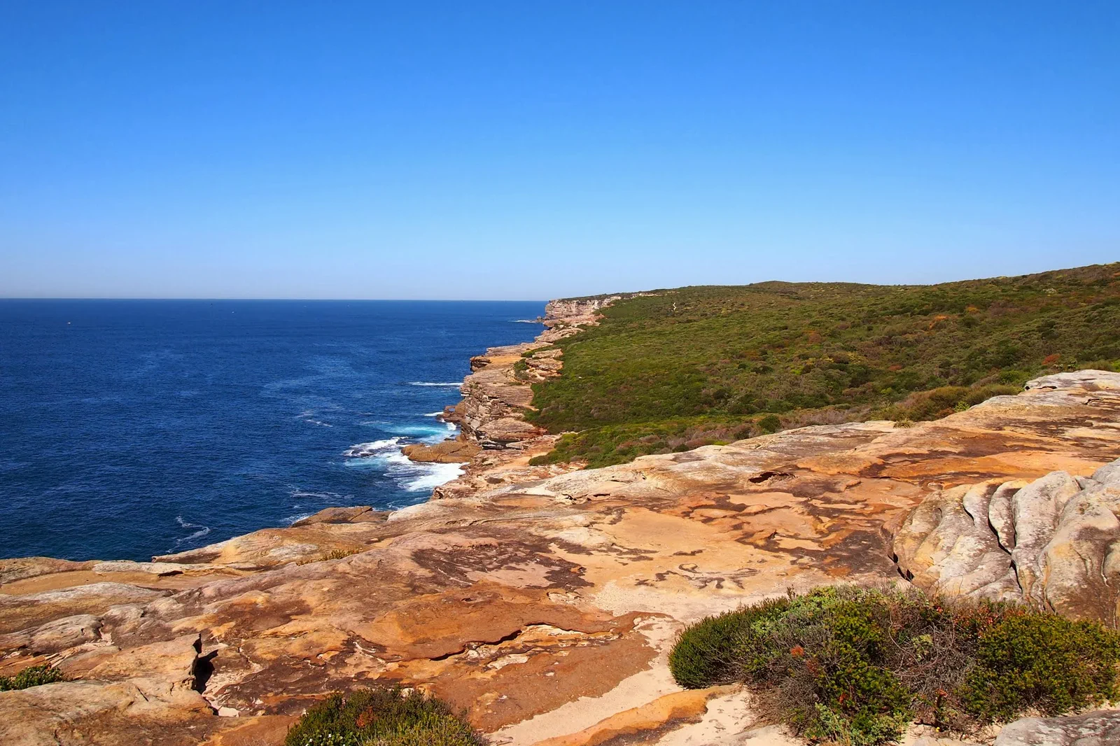
Royal National Park Coast
Choose a 7.8 km return Bundeena–Marley day walk or plan the Royal Coast Track as its official 27 km, two-day…
Open the field guide →Jervis Bay & Booderee FAQ
Do I need a pass for Booderee?
A vehicle visiting the park needs a vehicle pass; the official pass page also describes free entry on foot or by bicycle. Check the current pass options and sales notice before travel.
Is the entry station open?
As checked on 12 October 2026, Parks Australia said the entry station was temporarily closed. It listed online purchase, the Visitor Centre and a mobile van at Jervis Bay Supermarket as alternatives; recheck the live closure notice.
Can I camp with a day pass?
No. Camping fees and reservations for Green Patch, Bristol Point and Cave Beach are handled separately. Campsites can fill in peak periods, so book the exact site before building an overnight route around it.
Are Booderee beaches patrolled?
Parks Australia states that none of its beaches are supervised by lifeguards. Check its safety guidance, obey signs, and do not treat calm-looking water as a patrol or safety guarantee.
Is Hyams Beach inside Booderee?
No. Hyams Beach is on the NSW side and is listed by NSW National Parks with Jervis Bay National Park; Booderee is a separate Aboriginal-owned park with its own access rules.
Official sources and photo credits
Planning facts and image licenses were reviewed on 12 October 2026. Access, weather, transport, fire, marine and operator conditions change; verify directly before travel.
- Parks Australia — Booderee vehicle passes, current prices and entry rules.
- Parks Australia — temporary entry-station closure and alternative pass sales.
- Parks Australia — current Booderee alerts and beach-access notices.
- Parks Australia — Booderee beach access and lifeguard guidance.
- Parks Australia — Green Patch and Bristol Point signed walks.
- Parks Australia — Booderee campsite booking information.
- NSW National Parks — Jervis Bay National Park and Hyams Beach.
- NSW DPIRD — Jervis Bay Marine Park and zoning map.
- Three Sisters, Blue Mountains (1).jpg — Alicia Brogan ( Ali b at English Wikipedia ), CC BY-SA 3.0. Resized, display-cropped and converted to WebP; no other material edits.
- Wentworth Falls from Princes Rock.jpg — Lschoen, CC BY-SA 4.0. Resized, display-cropped and converted to WebP; no other material edits.
- Govetts Leap - Blue Mountains - panoramio.jpg — Pavel Špindler, CC BY 3.0. Resized, display-cropped and converted to WebP; no other material edits.
- Royal National Park Coast Track - panoramio.jpg — Maurice van Creij, CC BY 3.0. Resized, display-cropped and converted to WebP; no other material edits.
- Hyams Beach. Booderee National Park & Jervis Bay Marine Park.jpg — Charliekay, CC BY-SA 4.0. Resized, display-cropped and converted to WebP; no other material edits.