Blackheath & Grose Valley lookout-to-bushwalk threshold.
A Blackheath-based Grose Valley plan that treats Govetts Leap as a complete formal lookout visit and any descent as a separate remote, closure-dependent undertaking.
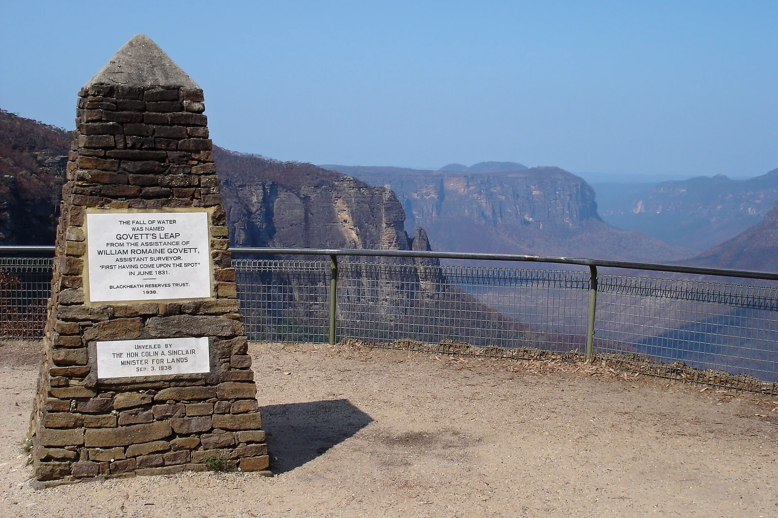
A night before and after the chosen day avoids tying a lookout or track to a same-day Sydney train. One night is suitable only for the formal lookout and a verified service window.
Govetts Leap is a formal endpoint. A descent is optional and proceeds only if its exact track is open, the party has equipment and daylight, and the return is solved.
For any remote walk, follow current NPWS trip-intention guidance, carry navigation/water/communication, set a turnaround and confirm a local transfer. If one element fails, remain at the signed lookout.
Separate the lookout from the valley expedition.
Blackheath is a useful overnight base for the upper escarpment, not a guarantee that a remote trail is open or easy to reach. Govetts Leap Lookout is the short, formal viewpoint; a path descending into the Grose Valley adds steep grade, distance, water and a much harder exit. On 12 October 2026, NPWS alerts listed closure on the Govetts Leap descent and portions of Rodriguez Pass, with access advice referencing Horse Track from Blackheath. Do not use that dated note as route permission: check the live alerts and the exact track before setting out.
A route with an exit built in.
Check before leaving town
Read live NPWS alerts, fire and weather warnings, the specific track description and Transport for NSW return. Tell an accommodation contact your plan if advised; do not set off on a route named only in an old itinerary.
Use Govetts Leap as a full visit
The formal lookout is an appropriate endpoint and the easiest way to read valley scale and cloud. Check on-site access and any short-notice works; do not pass a barrier to turn the viewpoint into a walk.
Proceed only with a complete route contract
Verify the start, open status, grade, turnaround, exit, water plan, navigation, emergency communication, daylight and trip-intention requirements. The Govetts Leap descent and Rodriguez Pass closures noted on 12 October 2026 mean a live recheck is essential.
Close with a named return
Reverse the planned route before the turnaround and notify the trip-intention contact when safely back. If conditions deteriorate, use the declared retreat path; never substitute an unverified valley exit.
Three reasons to change the plan.
Remote rescue and weak signal
NPWS warns that mobile reception is unreliable in parts of the park and recommends preparation for remote trips. Carry route-appropriate navigation and emergency communication, and give a responsible contact a clear return time.
Current track closure
The 12 October 2026 snapshot listed Govetts Leap descent and some Rodriguez Pass closure sections. Closures can move or change; obey the live alert, any registration directions and trailhead barriers.
Fire, water and exposure
Hot, dry or windy conditions can make a remote walk unsafe, and dependable water may not be available along the route. Check warnings, carry sufficient water and turn back while there is still daylight and capacity.
Access is never implied by proximity.
Remote Country, water scarcity and rescue complexity require conservative choices. Stay within the signed public access, follow current Traditional Owner and park guidance, and never enter a closure or leave a formed track for a viewpoint.
Four related field chapters.
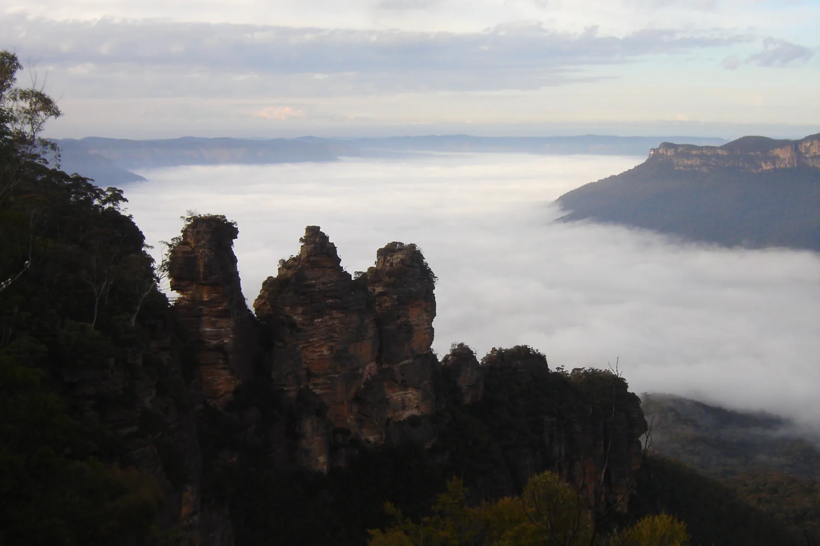
Katoomba & Echo Point
A station-to-escarpment Katoomba plan with the Three Sisters formal lookout as a complete short outing, plus…
Open the field guide →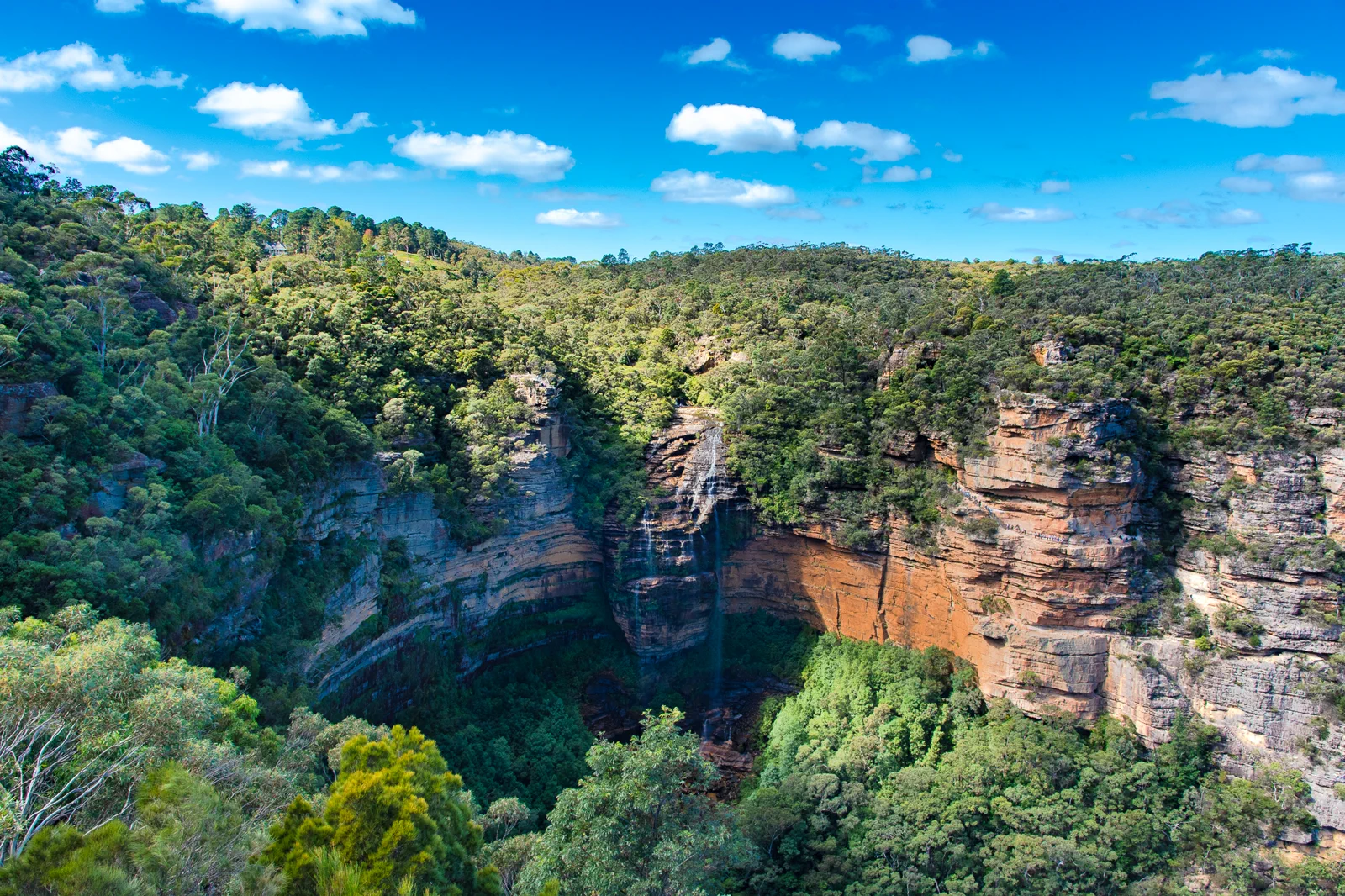
Wentworth Falls & Tableland
A Wentworth Falls station-area plan that separates the upper lookout from steep waterfall tracks and makes the…
Open the field guide →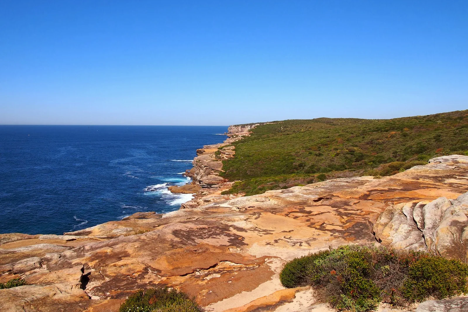
Royal National Park Coast
A coastal national-park day built around the chosen trailhead, legal parking or train access, tide, heat and a…
Open the field guide →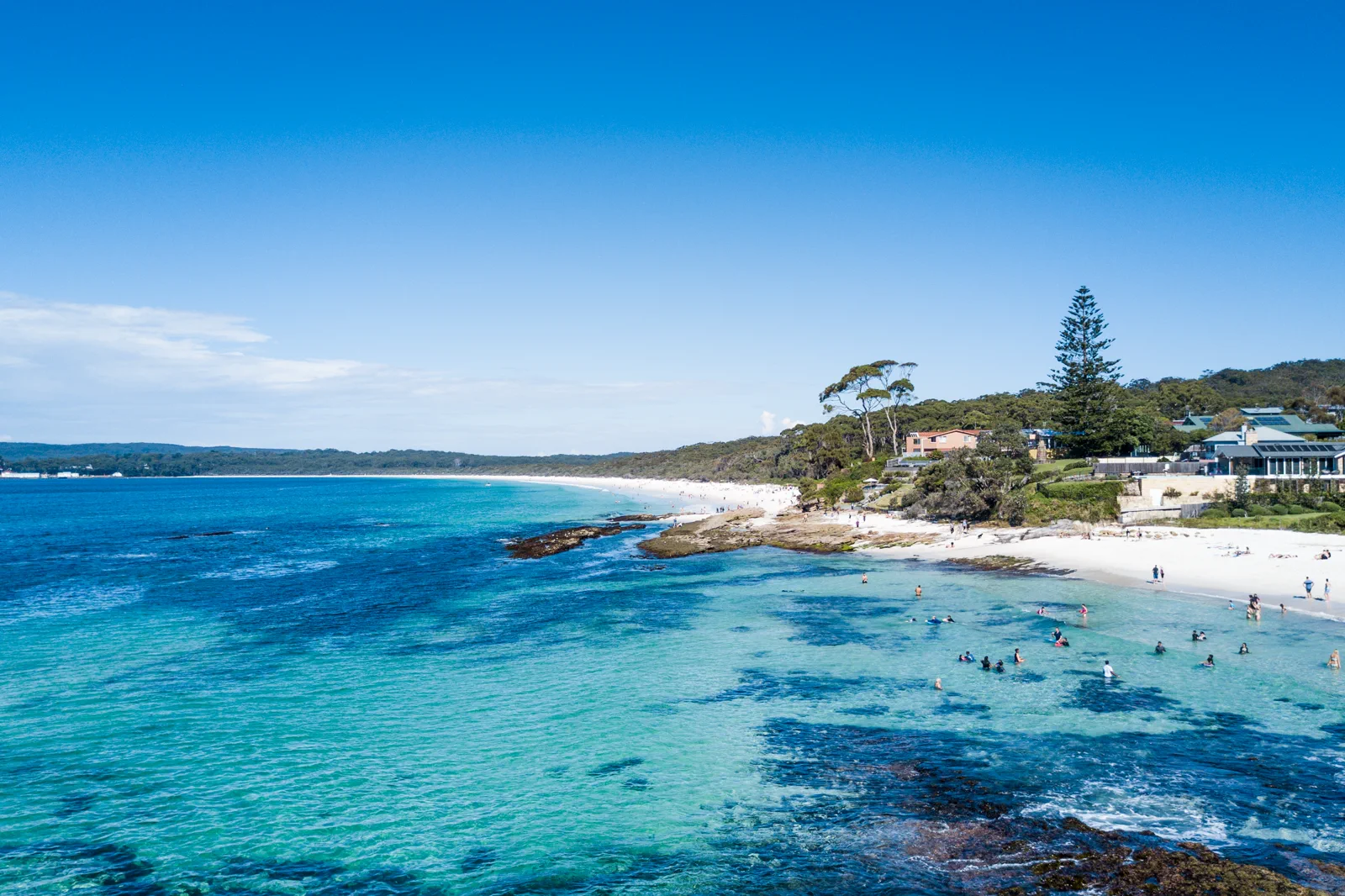
Jervis Bay & Booderee
A bay-and-park visit that separates town beaches from Booderee National Park, with entry, camping, wildlife…
Open the field guide →Blackheath & Grose Valley FAQ
Can I reach the Grose Valley from Govetts Leap?
Some tracks descend from the upper escarpment, but they are not the lookout path and may be closed. Check the exact track, grade, route status and exit before deciding; the formal lookout alone is a complete visit.
How many nights are sensible?
Two nights in Blackheath give one open day and avoid a rushed same-day regional return. A longer walk needs a full day and a route-specific plan; add nights if conditions or transport narrow the window.
Does Govetts Leap have mobile coverage?
Do not depend on it. NSW National Parks warns that reception is unreliable in parts of the park. Use appropriate offline navigation and emergency communication, follow current trip-intention advice, and leave your plan with a responsible contact.
What should I do if the descent is closed?
Stay at the signed lookout or choose another open public area confirmed by NPWS. Do not follow a posted route through a closure, try an informal bypass or assume a nearby track is an equivalent exit.
Official sources and photo credits
Planning facts and image licenses were reviewed on 12 October 2026. Access, weather, transport, fire, marine and operator conditions change; verify directly before travel.
- Transport for NSW — trip planner.
- NSW National Parks — remote trip and visitor advice.
- NSW National Parks — current park alerts.
- NSW National Parks — Govetts Leap Lookout.
- NSW National Parks — Govetts Leap descent track and safety information.
- Three Sisters, Blue Mountains (1).jpg — Alicia Brogan ( Ali b at English Wikipedia ), CC BY-SA 3.0. Resized, display-cropped and converted to WebP; no other material edits.
- Wentworth Falls from Princes Rock.jpg — Lschoen, CC BY-SA 4.0. Resized, display-cropped and converted to WebP; no other material edits.
- Govetts Leap - Blue Mountains - panoramio.jpg — Pavel Špindler, CC BY 3.0. Resized, display-cropped and converted to WebP; no other material edits.
- Royal National Park Coast Track - panoramio.jpg — Maurice van Creij, CC BY 3.0. Resized, display-cropped and converted to WebP; no other material edits.
- Hyams Beach. Booderee National Park & Jervis Bay Marine Park.jpg — Charliekay, CC BY-SA 4.0. Resized, display-cropped and converted to WebP; no other material edits.