Kakadu: Burrungkuy & Ubirr two separate art-country walks.
Choose one of Kakadu’s two distinct cultural landscapes for a full day: Burrungkuy (Nourlangie) near the central park corridor, or Ubirr by the East Alligator floodplain. Base, access and the steep Ubirr lookout climb decide which fits.
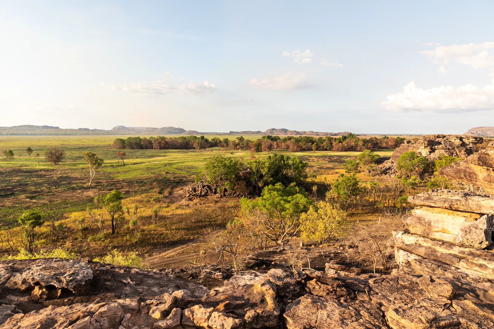
A 1.5 km return walk with two hours allowed; the main gallery and Kunwarddewardde lookout sit in the central-south park corridor.
A 1 km circuit with about an hour allowed; its floodplain view includes a steep 250 m lookout climb.
The drives are separate park legs. Give each its own day, base and current access check.
Make the decision before the distance.
Start from a Kakadu base, not Darwin: Parks Australia describes the drive from Darwin as about three hours via the Stuart and Arnhem highways. Jabiru suits Ubirr and the East Alligator side; Cooinda is closer to Burrungkuy and the southern wetland corridor. They are separate day choices, not adjacent stops.
A route with an exit built in.
Choose the base-side
Sleep near Jabiru for Ubirr or near Cooinda for Burrungkuy; allow the drive from Darwin before planning a full park day.
Take the Ubirr option
If chosen and open, follow the 1 km circuit; decide in advance whether the steep 250 m climb to the lookout suits you.
Take the Burrungkuy option
If chosen and open, allow about two hours for the 1.5 km return walk, art shelters and Kunwarddewardde lookout.
Close the loop at one site
Use only marked, open paths and return to your base in daylight; save the other art site for another day.
Three reasons to change the plan.
The wrong base or day scope
Kakadu is about three hours from Darwin. Jabiru and Cooinda serve different sides; do not append the second site to a long transfer day.
A climb that does not fit
Ubirr’s lookout involves a steep 250 m ascent. Its main art area can be a better choice for visitors who skip the lookout; recheck the current route status.
Flood and cultural closure
The wet season can close roads and sites. A park pass does not override daily notices or Traditional Owner access directions.
Access is never implied by proximity.
Kakadu is Aboriginal land, jointly managed by Bininj/Mungguy Traditional Owners and Parks Australia. Treat rock art as cultural knowledge, not a photo prop: remain on marked routes, do not touch rock surfaces, and follow signs about photography, ceremony and closures.
Four related field chapters.
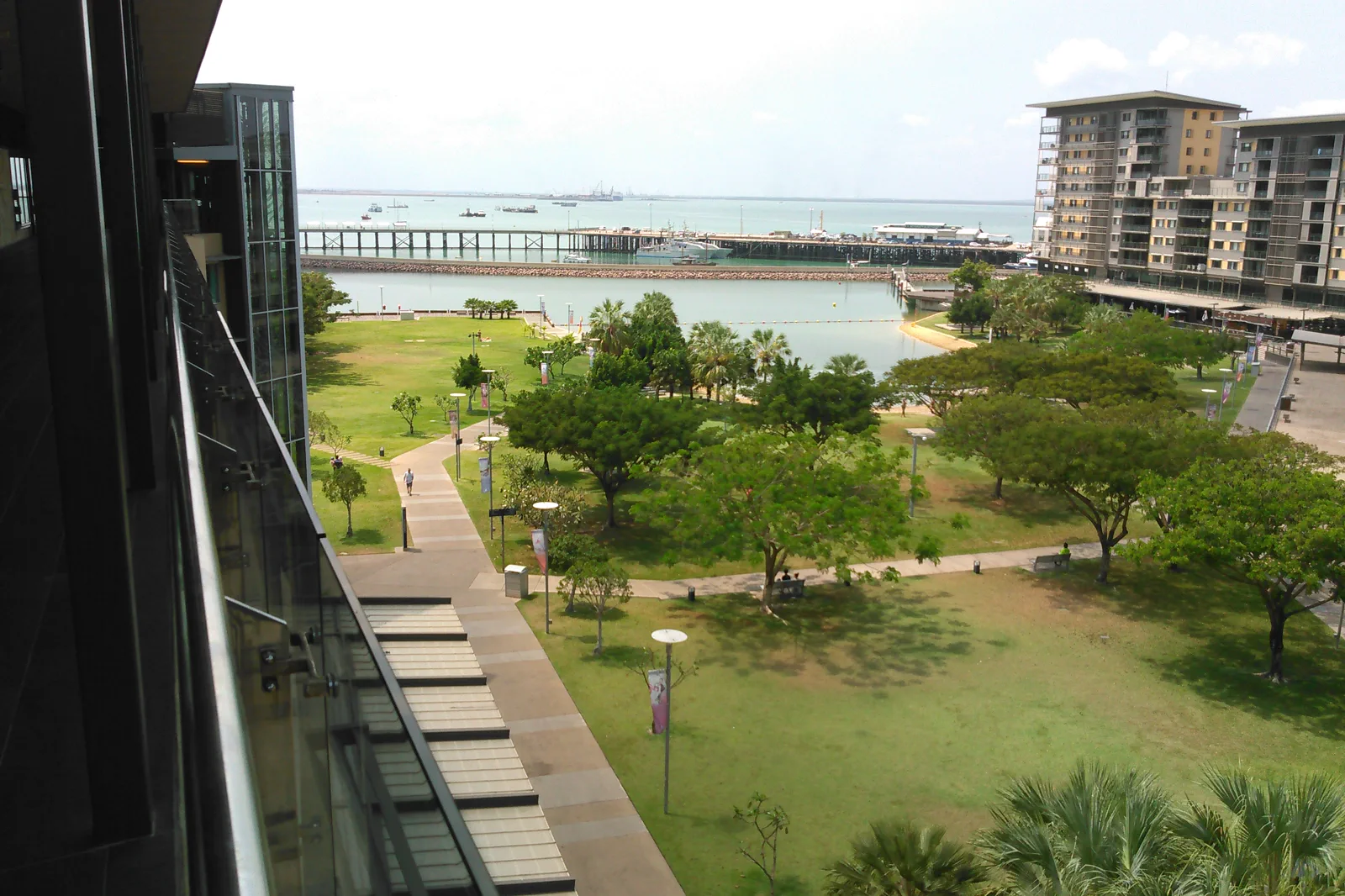
Darwin Waterfront & City
A city arrival chapter using managed waterfront swimming, museums and sunset space while crocodile and heat…
Open the field guide →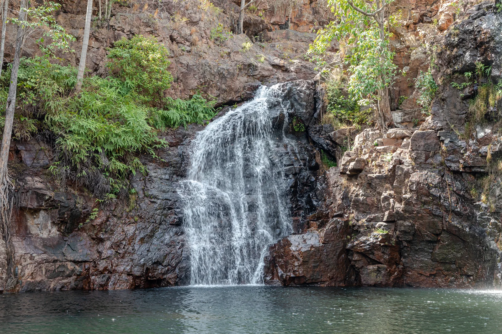
Litchfield National Park
A Darwin-side park day organized around the Batchelor or Cox Peninsula approach, the Florence–Buley walk,…
Open the field guide →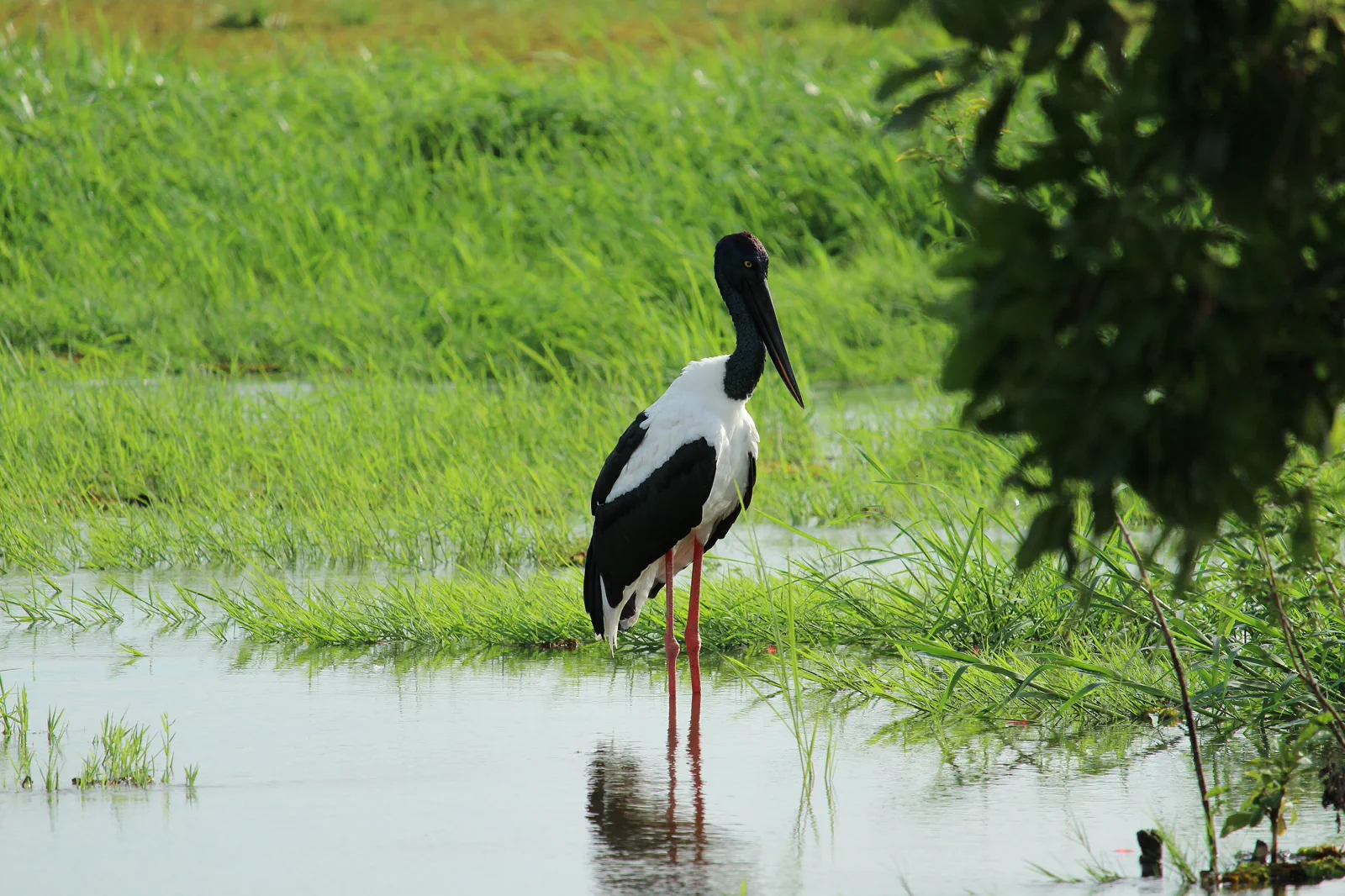
Kakadu: Yellow Water & South Alligator
Build a Kakadu wetland day around a booked Yellow Water departure from Cooinda: choose the actual 90- or…
Open the field guide →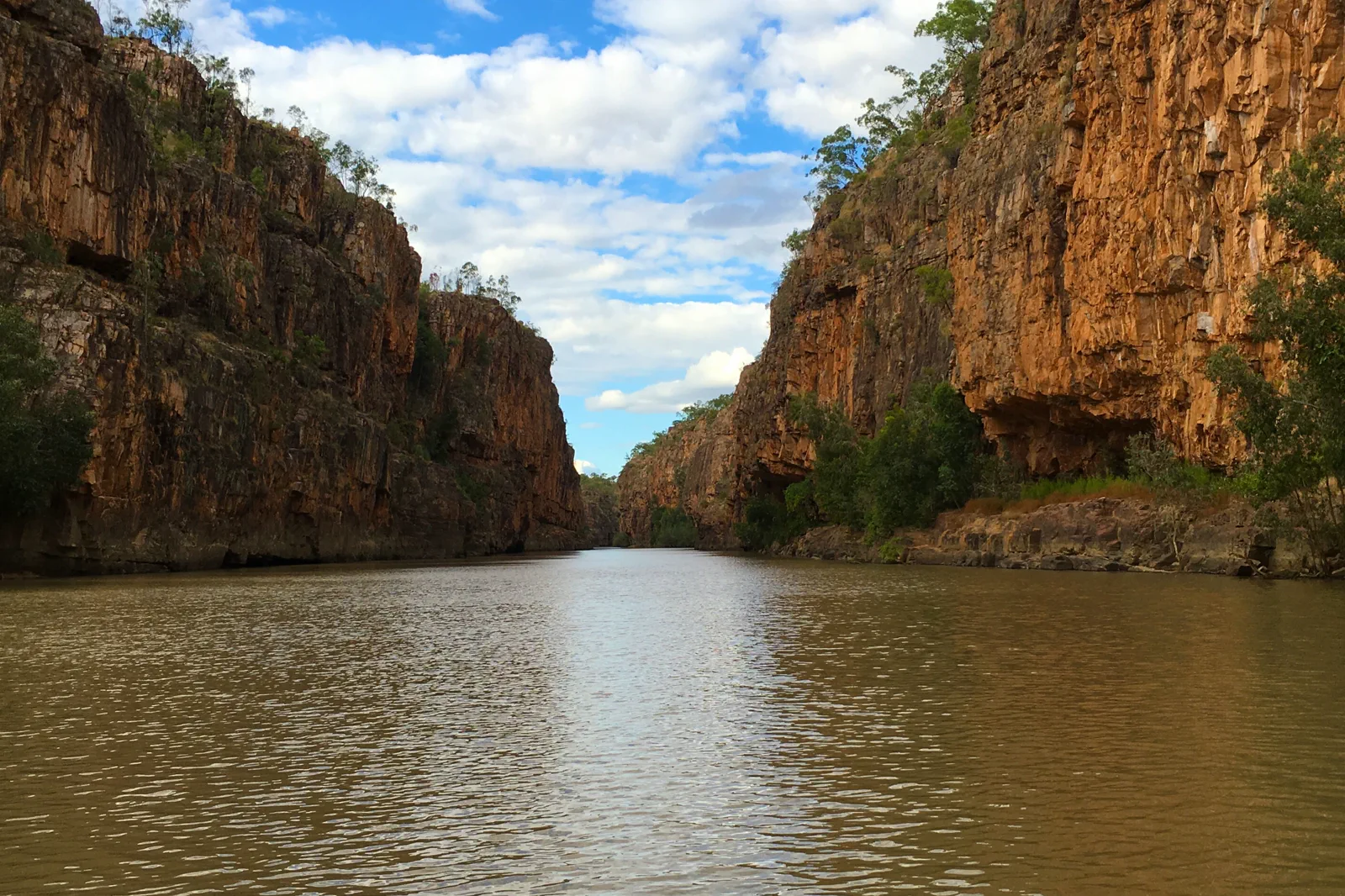
Katherine & Nitmiluk
A gorge-country visit built around Jawoyn guidance, cruise or paddle identity, heat, water level and a…
Open the field guide →Kakadu: Burrungkuy & Ubirr FAQ
Can I see Burrungkuy and Ubirr in one day?
Plan one site for the day. They sit on different park corridors, and Kakadu is about three hours from Darwin; adding both to a long transfer leaves too little time to walk and read the sites carefully.
Which route includes the steep climb?
Ubirr’s floodplain lookout route includes a steep 250 m ascent. Its main art area has an accessible section; Burrungkuy is a separate Grade 3, 1.5 km return walk for which Parks Australia recommends allowing about two hours.
What changes in the wet season?
Flooding may close roads or sites. Check Kakadu’s current access report and choose only an open sector; if your route is closed, stay at your base or use a verified open alternative rather than crossing a barrier.
Official sources and photo credits
Planning facts and image licenses were reviewed on 9 October 2026. Access, weather, transport, fire, marine and operator conditions change; verify directly before travel.
- Parks Australia — getting to Kakadu.
- Parks Australia — Burrungkuy walk.
- Parks Australia — Ubirr walk.
- Parks Australia — Kakadu park pass.
- Parks Australia — Kakadu access report.
- Parks Australia — Kakadu joint management.
- Parks Australia — Bininj/Mungguy culture.
- View of the Waterfront in Darwin, Northern Territory, Australia.jpg — Lance Vanlewen, CC BY-SA 4.0. Resized, display-cropped and converted to WebP; no other material edits.
- Litchfield National Park (AU), Florence Falls -- 2019 -- 3736.jpg — Dietmar Rabich, CC BY-SA 4.0. Resized, display-cropped and converted to WebP; no other material edits.
- Kakadu (AU), Kakadu National Park, Nadap Lookout -- 2019 -- 4180.jpg — Dietmar Rabich, CC BY-SA 4.0. Resized, display-cropped and converted to WebP; no other material edits.
- Black Neck Stork Kakadu 2025 BPS.jpg — BindiS, CC BY 4.0. Resized, display-cropped and converted to WebP; no other material edits.
- Nitmiluk (Katherine) Gorge.jpg — kevleyski, CC0. Resized, display-cropped and converted to WebP; no other material edits.