Cape Naturaliste & Leeuwin-Naturaliste Coast lighthouse and surf edge.
A headland day choosing lighthouse, short coast walk or whale-season viewpoint according to wind, fire and track condition.
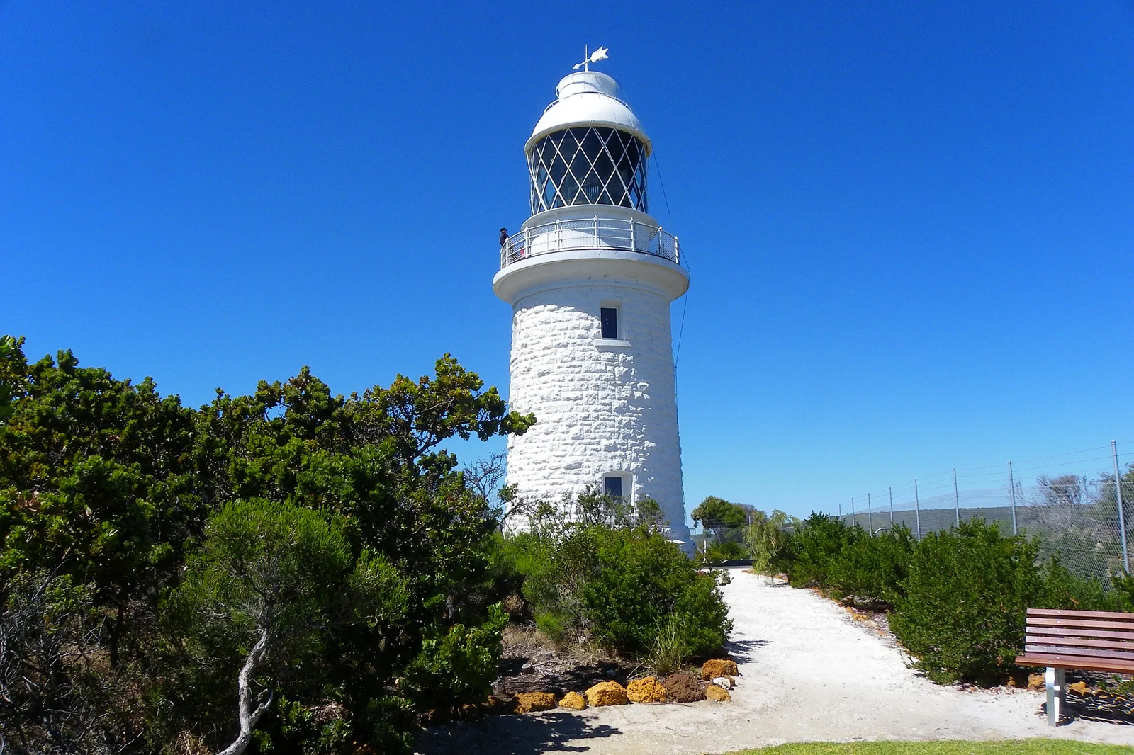
Choose the tower and Lightkeepers’ Museum if maritime history is the goal. The climb has 59 steps and a separate check-in; it is not an all-access substitute for the surrounding boardwalk.
Choose a short Cape Naturaliste loop or lookout when you want the coast without committing to a long traverse. Keep the route inside the open precinct and turn back if wind or track conditions worsen.
Choose the Class 2 first section of the Cape to Cape Track for a longer coast walk. It is 3.4 km from the lighthouse to Sugarloaf Rock; plan about 6.8 km if walking back to the same car, or arrange an actual return transfer first.
Choose a walk length, not a cape-to-cape fantasy.
Cape Naturaliste is a headland outing, while the full Cape to Cape Track is a 130 km Class 4 journey between the two lighthouses. Do not use the long-distance track marker as proof that a one-day loop, shuttle or water refill exists. Start at the Cape Naturaliste visitor precinct and decide between the lighthouse/Lightkeepers’ Museum, a short headland trail, or a longer out-and-back toward Sugarloaf Rock. The DBCA page describes the first 3.4 km to Sugarloaf as one-way, Class 2, with boardwalk sections and a separate drop-off point; returning to the same car makes that roughly 6.8 km before any side paths. Set the turnaround and transport before walking.
A one-way coast segment needs a second vehicle plan.
The trail begins at a lighthouse car park and reaches a different access point at Sugarloaf Rock. That map connection does not create a shuttle. Decide which end you will finish at before you count the walk as an easy family outing.
A route with an exit built in.
Read wind, fire and track status
Check BOM, DBCA alerts and road notices for the exact headland. Cancel the exposed section if officials close it or the conditions exceed your group’s comfort.
Set the route and return
Choose tower, short trail or the 3.4 km one-way Sugarloaf segment. For the long option, decide whether you will return on foot or use a named pickup at the other end.
Use one coastal section
Stay on the marked track, carry water and turn around at the time you set. Whale viewing and calm sea are not promised; do not add an unplanned beach descent.
Return to the base in daylight
Allow the complete drive or confirmed transfer back to Dunsborough or Margaret River. If the path or lighthouse closes, shift to a confirmed town meal or indoor booking; do not drive on to Cape Leeuwin to rescue the day.
Three reasons to change the plan.
One-way distance mistaken for a loop
Sugarloaf Rock is a separate access point from the lighthouse. Without a pre-arranged return driver, the 3.4 km segment becomes an out-and-back, not a point-to-point stroll.
Wind, swell or fire closure
The exposed coast is not a good backup when conditions worsen. Use only an official open access route; if the park or road closes, remain outside and switch to a booked indoor activity or town plan.
Wildlife and edge behavior
A lookout is not permission to approach a whale, cross a barrier or walk on a wave-washed platform. Keep to the trail and follow posted wildlife and drone restrictions.
Access is never implied by proximity.
The headland combines sheer limestone edges, exposed boardwalk, beaches and wildlife habitat. Walk only open marked tracks, stay behind barriers and do not descend to rock platforms or enter closed beach access. Whale-season viewing is an opportunity, not a guaranteed sighting; keep the distance required by wildlife guidance and do not use drones where prohibited. Cape Naturaliste is on Wadandi Noongar Country. Read the local interpretation, avoid collecting natural or cultural material and treat a public trail as a route with limits rather than permission to roam.
Four related field chapters.
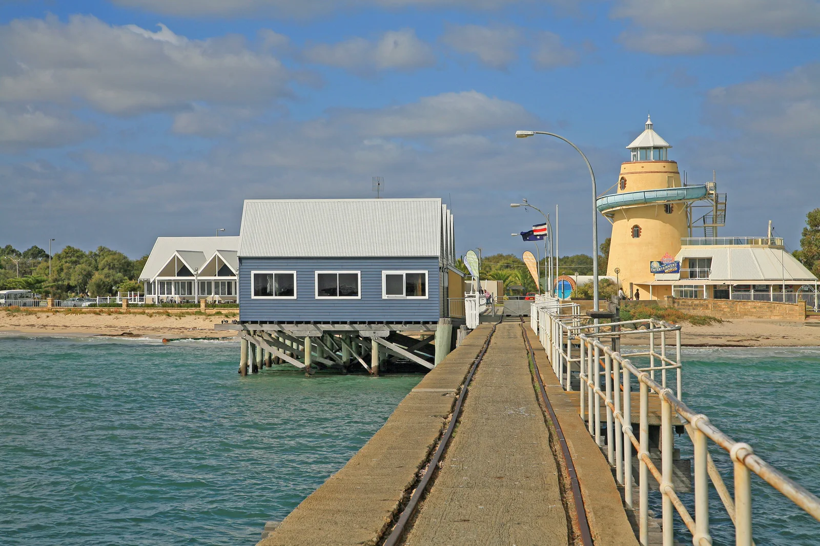
Busselton & Dunsborough
A northern gateway chapter balancing the long jetty, sheltered bay and Dunsborough base without assuming coast…
Open the field guide →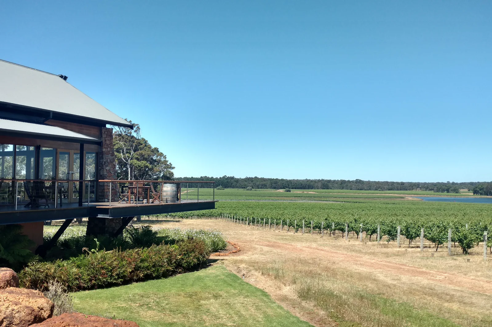
Margaret River Wine & Food
Make Margaret River a planned producer-and-meal day, not a race between cellar doors.
Open the field guide →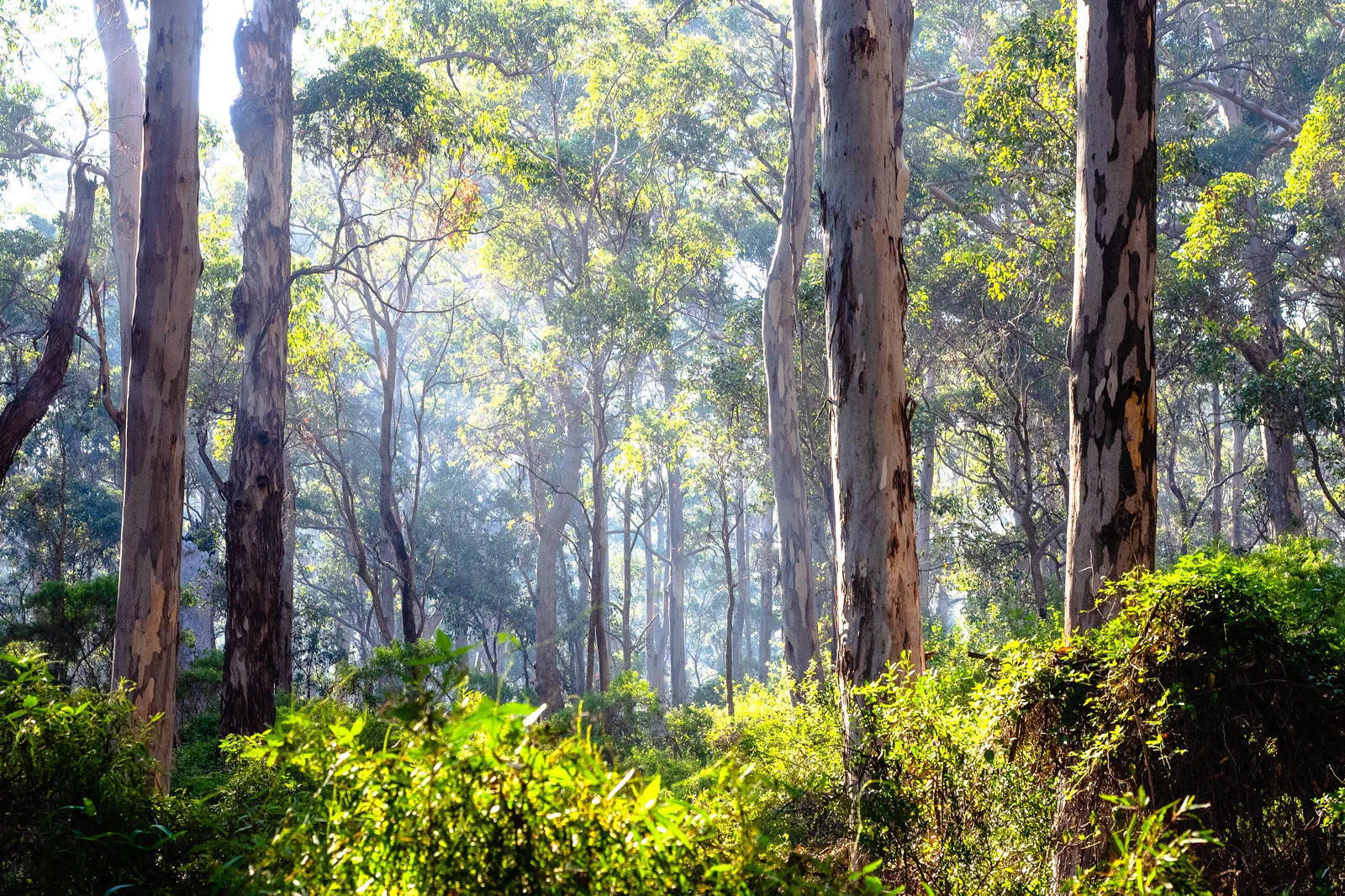
Boranup Forest, Caves & Augusta
A south-region chapter connecting one booked show cave, karri forest and Augusta without stacking underground…
Open the field guide →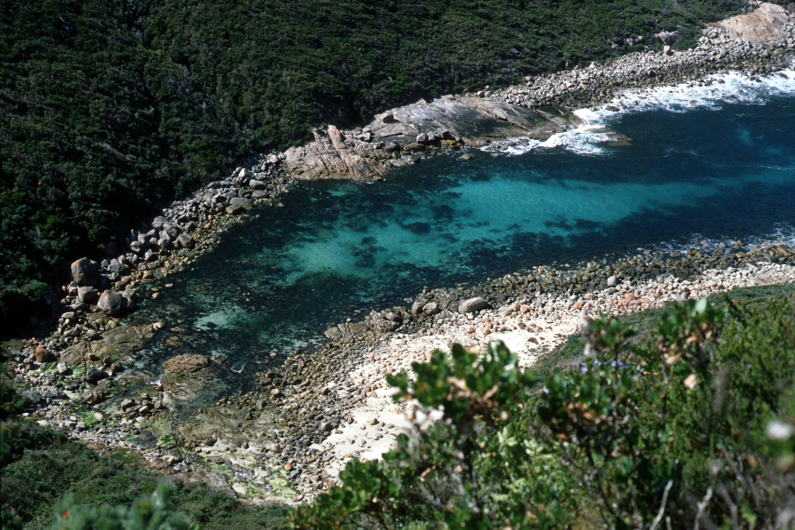
Albany & Torndirrup
A far-south destination linking Albany history to Torndirrup’s exposed granite coast, not a detour from…
Open the field guide →Cape Naturaliste & Leeuwin-Naturaliste Coast FAQ
Is Cape Naturaliste a short part of the Cape to Cape Track?
The 130 km Class 4 Cape to Cape Track starts at the Cape Naturaliste car park. The first 3.4 km to Sugarloaf Rock is a Class 2 one-way section. If your car stays at the lighthouse, plan roughly 6.8 km for the out-and-back; the track does not supply your return ride.
Can I take a wheelchair or pram on the coast path?
DBCA describes the first section to Sugarloaf as suitable for assisted wheelchairs and prams and notes boardwalk and benches. Conditions, surfaces and individual mobility needs still matter. Check the current access note and choose the lighthouse-base boardwalk if the longer path does not fit.
Does the lighthouse visit include the tower?
Capes Foundation lists guided tower tours, a 59-step climb and a Lightkeepers’ Museum. Confirm current tour times, access needs and entry terms before departure; the surrounding walk trails are a separate activity.
Can I walk from Dunsborough after arriving by coach?
The SW1 stop is in Dunsborough town and does not guarantee a transfer to the lighthouse or a coastal trailhead. Arrange a car, named tour or return pickup before booking the walk. Do not walk along a rural road shoulder to bridge the gap.
What is the weather fallback?
If wind, fire or a closure removes the exposed coast section, do not descend to an unprotected beach. Use the lighthouse only if it remains open and the visit suits the conditions, or move to a confirmed town meal or indoor booking. Recheck the official access notice before driving.
Can I count on seeing whales?
No. Seasonal whale viewing varies by date, sea conditions and animal movement. Choose the lookout for the coastline and use binoculars from the marked path; never approach, pursue or fly a drone toward wildlife.
Official sources and photo credits
Planning facts and image licenses were reviewed on 13 October 2026. Access, weather, transport, fire, marine and operator conditions change; verify directly before travel.
- Explore Parks WA — Cape Naturaliste trails, access and safety.
- Capes Foundation — lighthouse tours, museum and access guide.
- Transwa — SW1 Dunsborough stop and date-specific timetable.
- Bureau of Meteorology — wind, town and coastal forecasts.
- Main Roads Western Australia — roadworks, fire and road closures.
- Explore Parks WA — current track, fire and park-alert checks.
- 00 1701 Busselton Jetty - Western Australia.jpg — W. Bulach, CC BY-SA 4.0. Resized, display-cropped and converted to WebP; no other material edits.
- 2016 Margaret River Australia. Watershed vineyard.jpg — Lasthib, CC BY-SA 4.0. Resized, display-cropped and converted to WebP; no other material edits.
- CSIRO ScienceImage 11593 Cape Naturaliste lighthouse Western Australia.jpg — Liese Coulter, CSIRO, CC BY 3.0. Resized, display-cropped and converted to WebP; no other material edits.
- Karri trees - Boranup Forest 02.jpg — Paulkyranc, CC BY-SA 4.0. Resized, display-cropped and converted to WebP; no other material edits.
- CSIRO ScienceImage 2482 Coast near Albany Western Australia.jpg — Publishing, CSIRO, CC BY 3.0. Resized, display-cropped and converted to WebP; no other material edits.