Shanghai read the city across the river
The Huangpu is not scenery added to Shanghai; it is the clearest editing tool. Historic Puxi, vertical Pudong, old-city gardens, residential streets, museum campuses, industrial waterfronts and a Jiangnan water town each need a different kind of day.
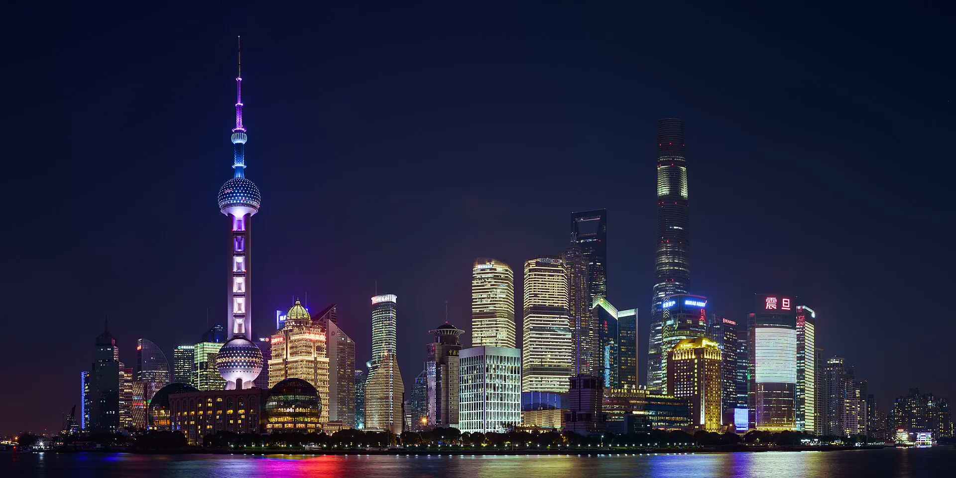
History is distributed through streets
The Bund, old city, People's Square, Wukang Road, Hongkou and Longhua are not one old-town zone. Each belongs to a separate walking scale, metro approach and time of day.
- Best for: first-time bases, street texture, museums and evening walks.
- Watch: station complexes can have distant exits; choose the exit before leaving the platform.
- Edit: one major institution or garden plus one coherent street sequence.
Height is a weather decision
Lujiazui's towers, riverside and Shanghai Museum East work best when visibility, ticket timing and the chosen river crossing align. A skyline day does not need three observation decks.
- Best for: high-rise views, major new museums and airport-side connections.
- Watch: map proximity across water does not mean a direct pedestrian crossing.
- Edit: one elevated view, one ground-level river walk and one indoor anchor.
Do not flatten Shanghai into a skyline template
Every chapter solves a different planning problem: facade reading, visibility, garden boundaries, residential etiquette, museum choice, memory, industrial reuse or water-town timing.
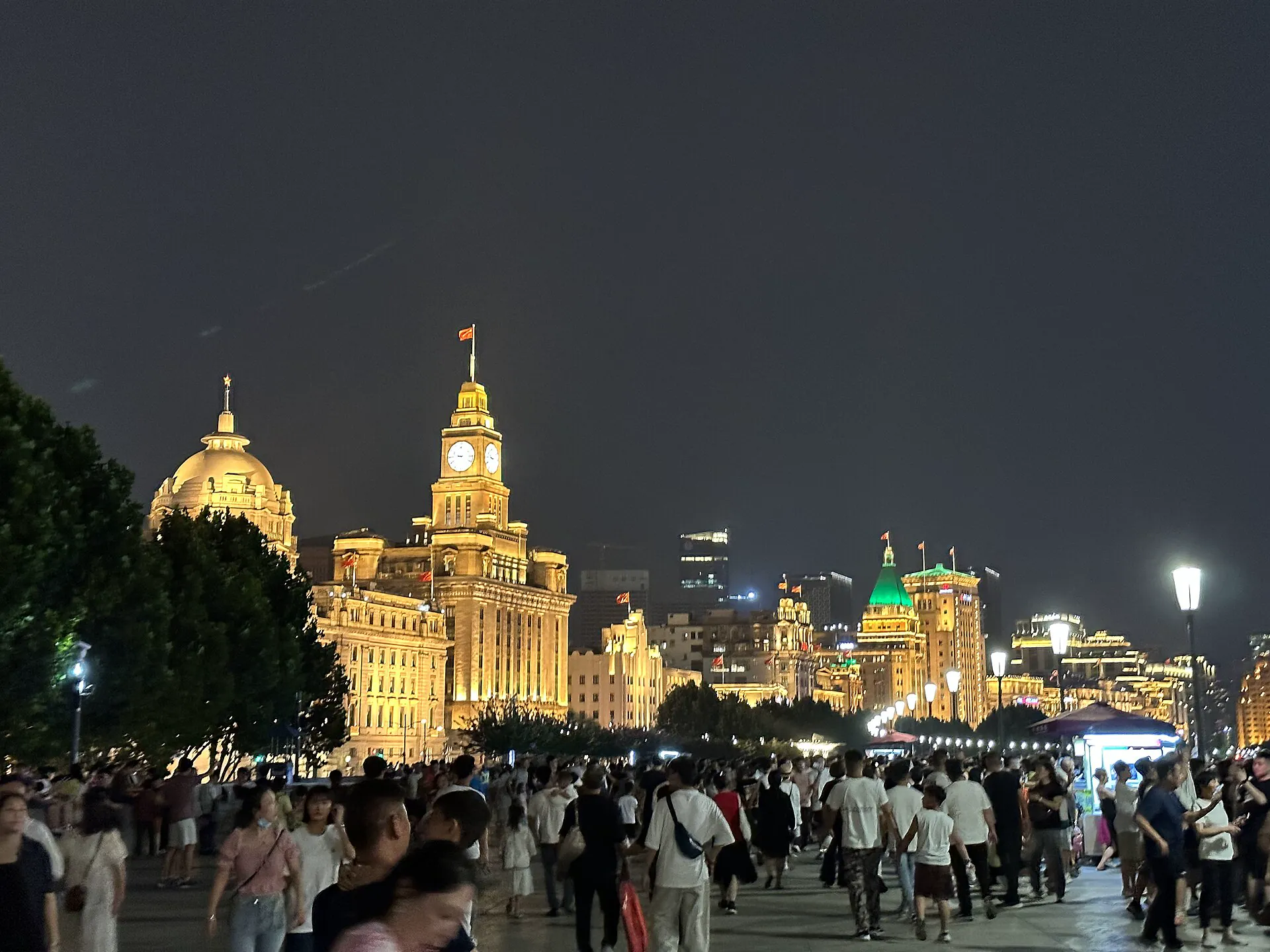
The Bund & Huangpu
Read the protected waterfront as architecture, river movement and a morning-to-blue-hour sequence.
Open the catalogue →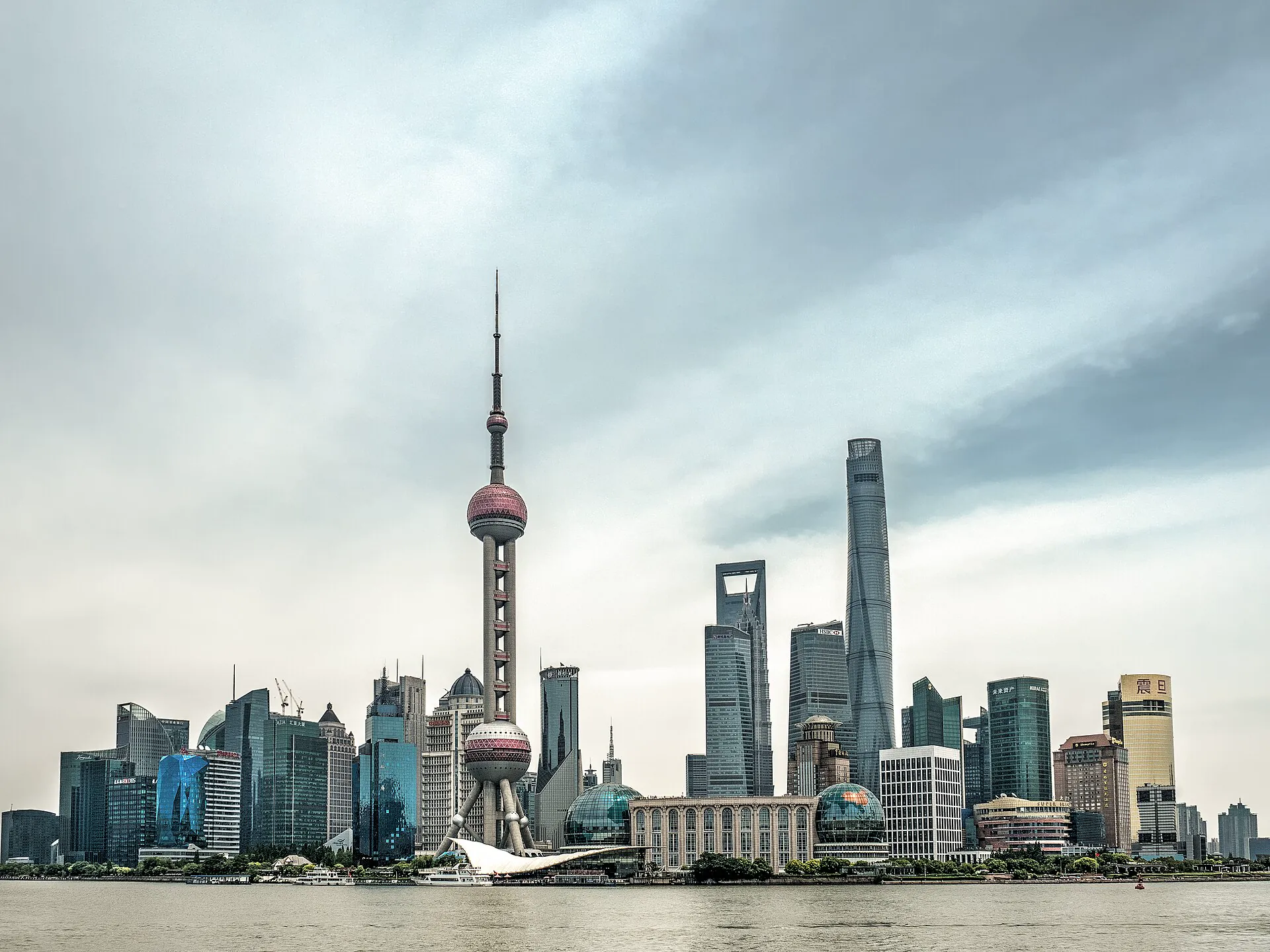
Lujiazui & Pudong
Choose one tower, test the weather and connect the skyline to the river at ground level.
Check the horizon →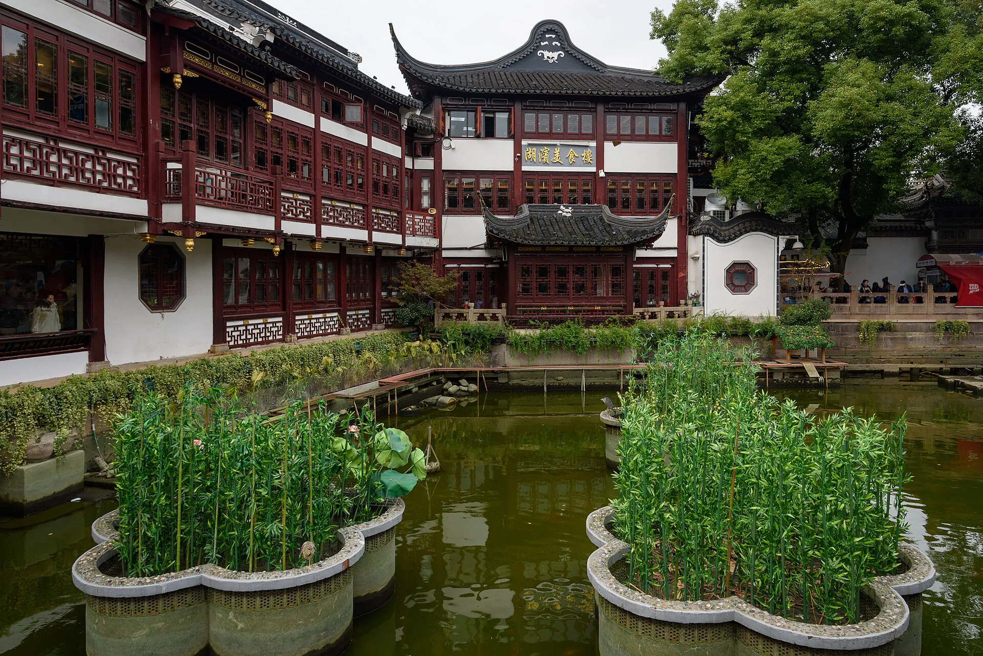
Yuyuan & Old City
Separate the ticketed garden, active temple and commercial streets before crowds merge them.
Cross the right gate →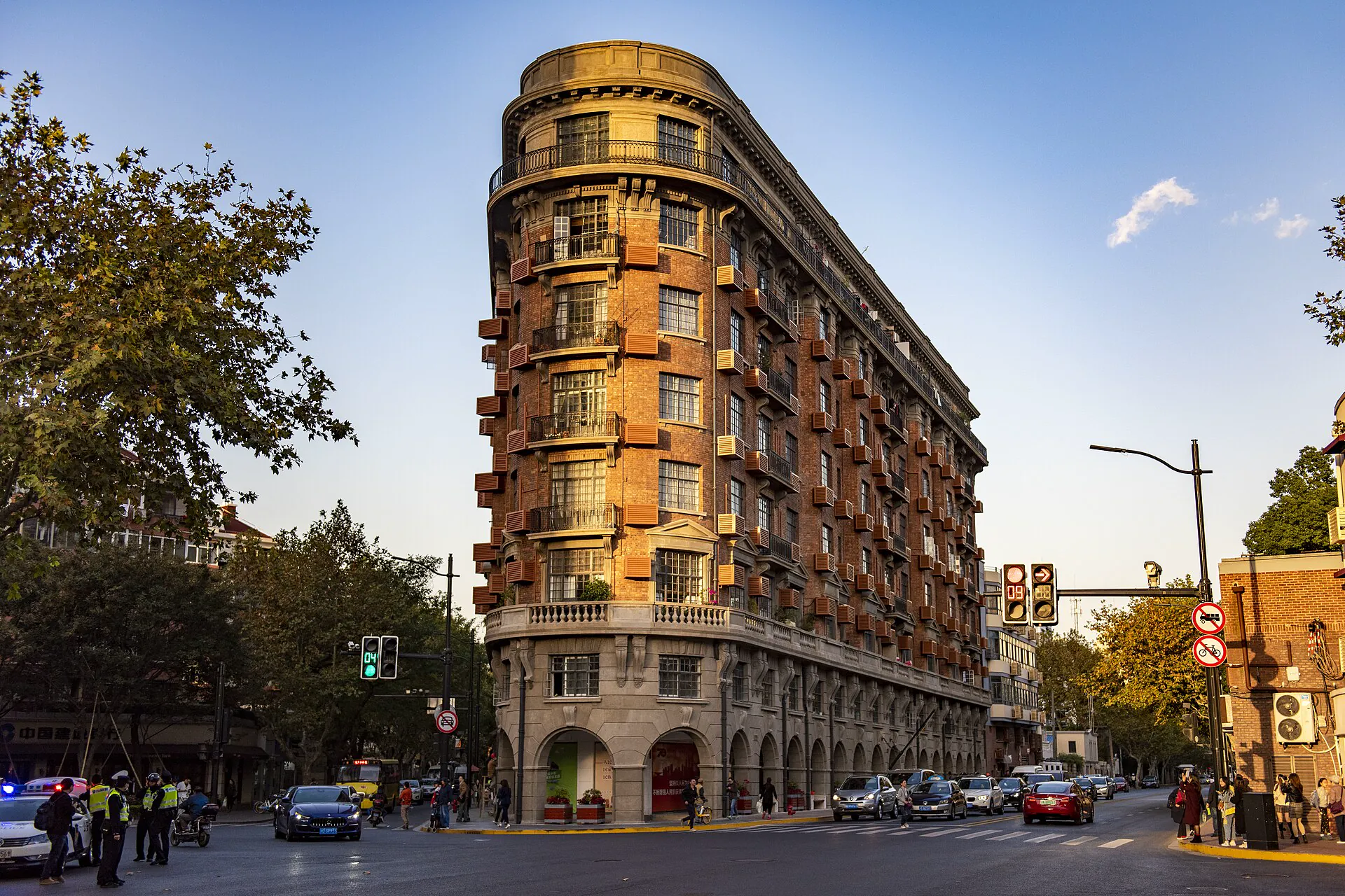
Wukang Road & Xuhui
Slow down for facades, lived-in lanes, small institutions and a route with permission to stop.
Read the street score →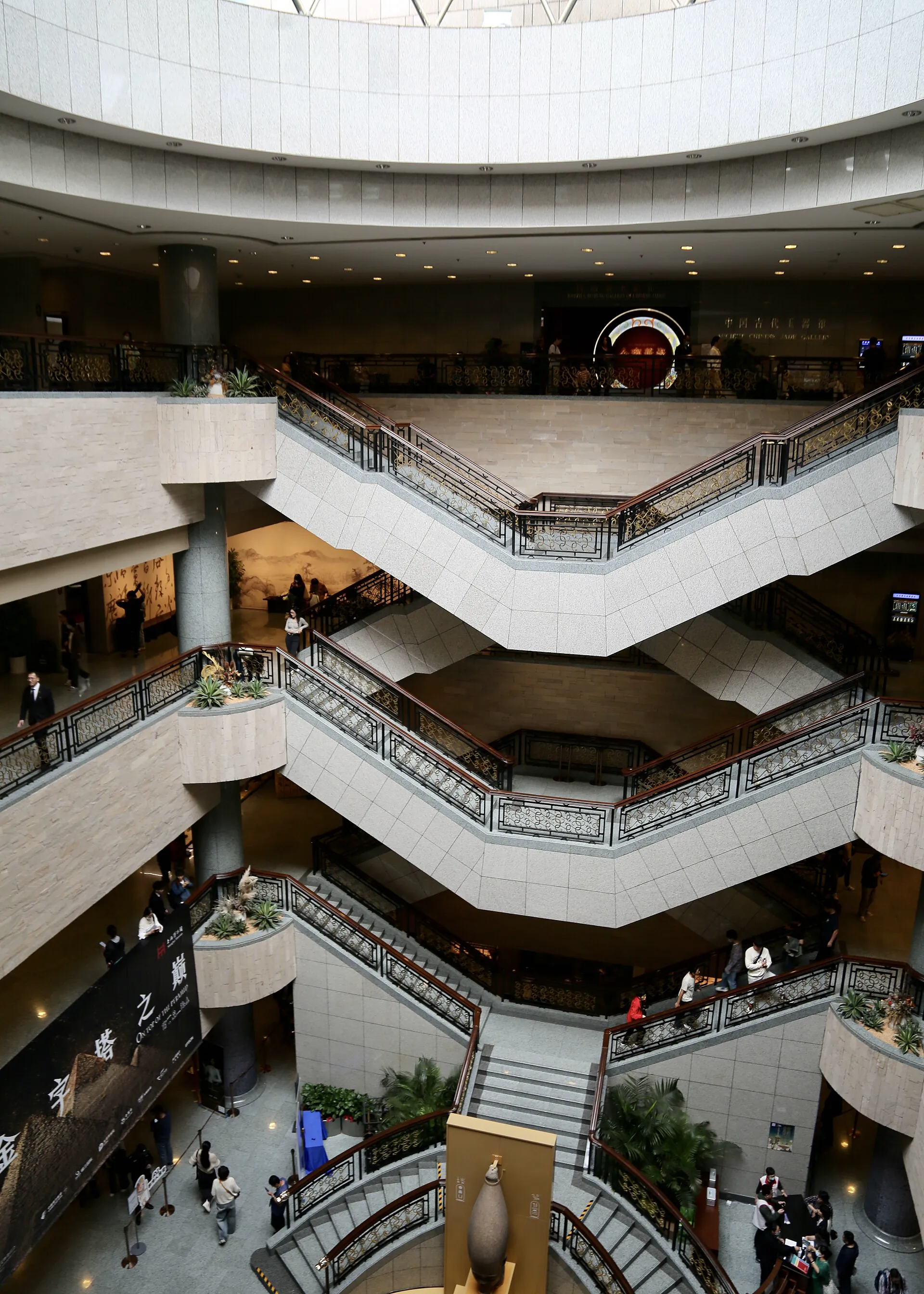
People's Square & Museums
Choose between the People's Square and Pudong museum campuses before building the day.
Make the collection choice →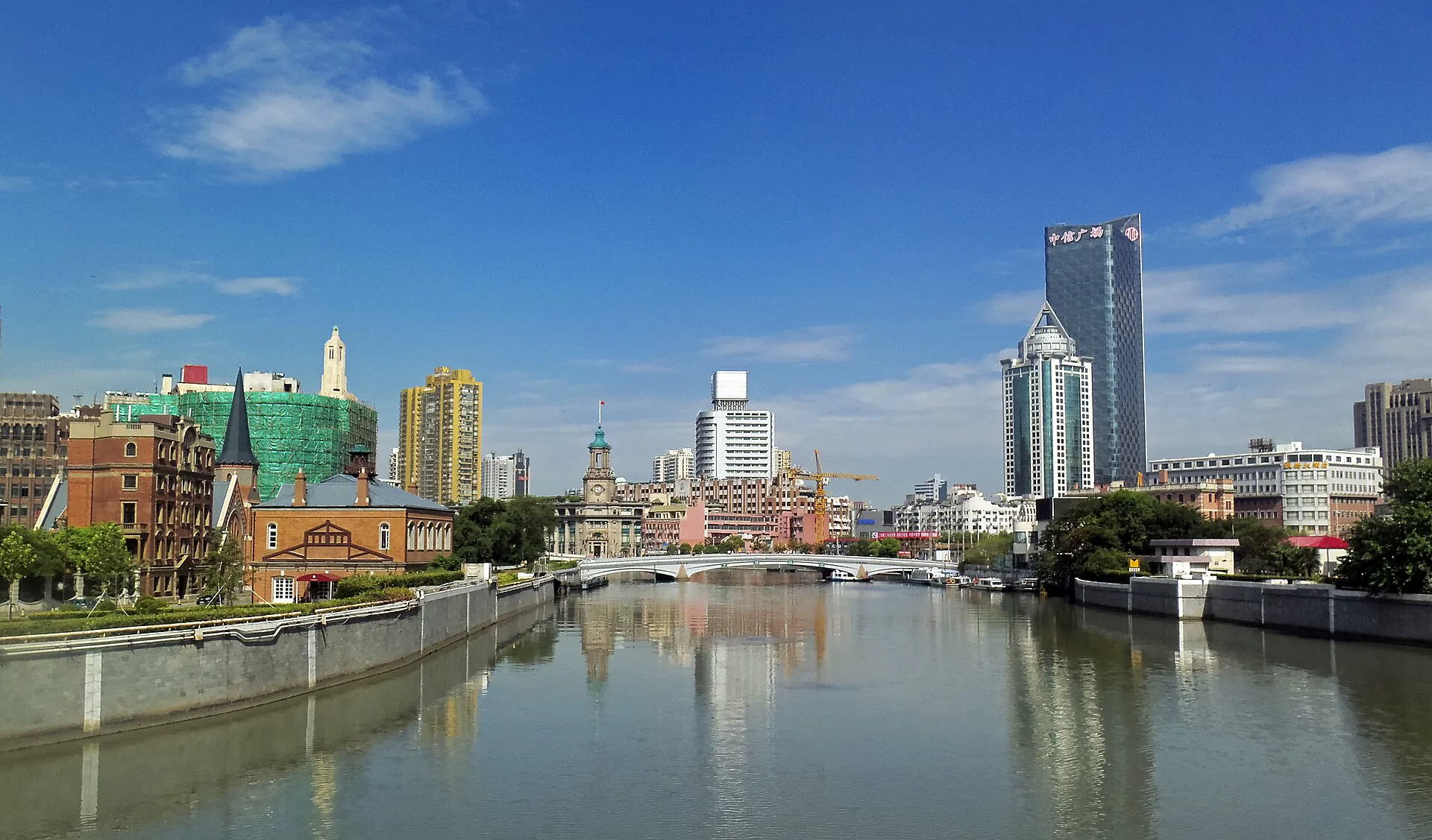
Hongkou & Suzhou Creek
Pair waterfront industry with the documented history of Jewish refugees without treating memory as atmosphere.
Follow the evidence →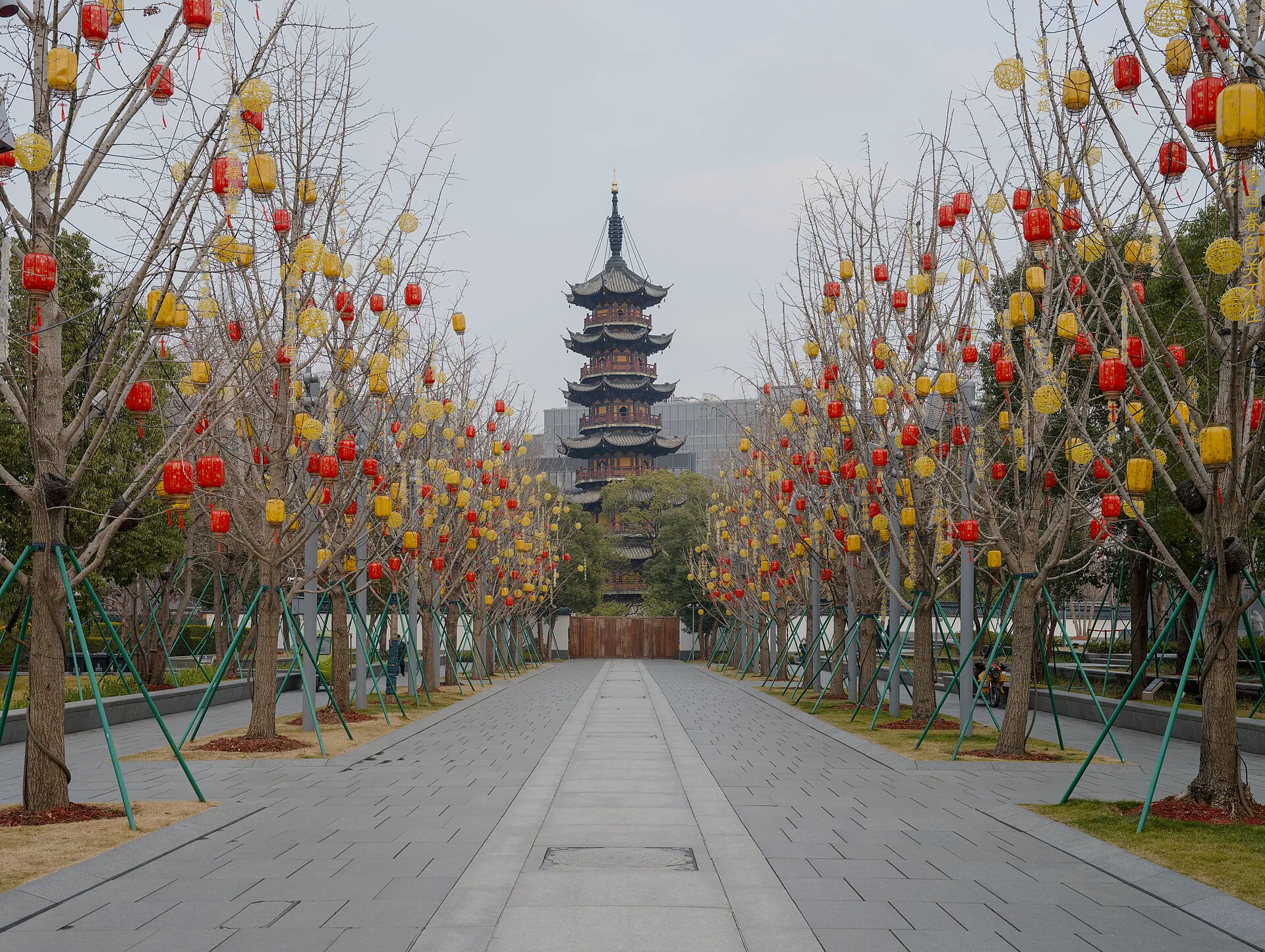
West Bund & Longhua
Move between active temple ground, layered civic history and a post-industrial art waterfront.
Trace old and new →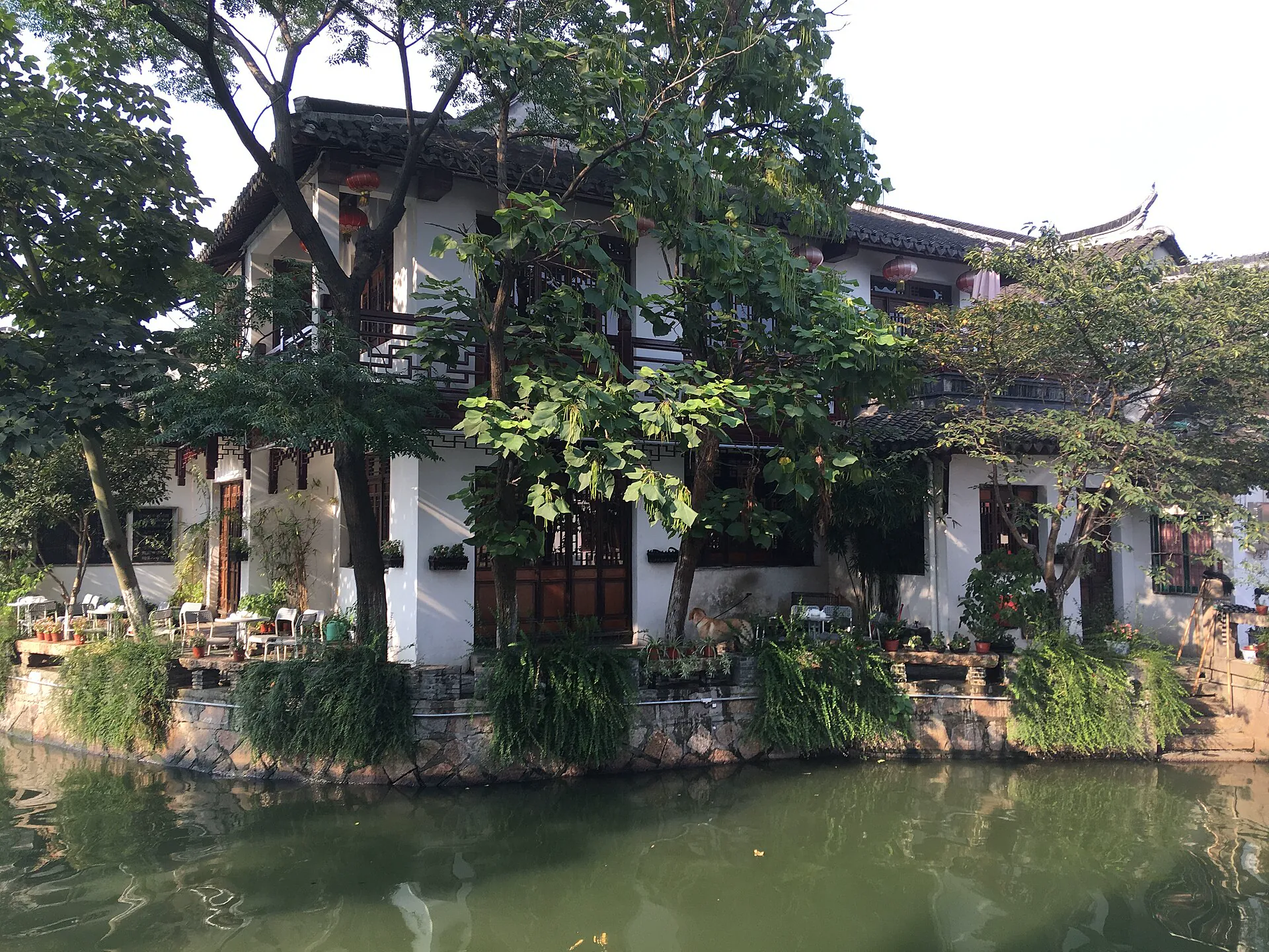
Zhujiajiao
Protect an early start, understand the metro last mile and let bridges lead before tour groups do.
Set the water clock →Name the airport, terminal and final station
“Shanghai airport” is not a complete plan. Compare Pudong and Hongqiao by the actual flight, hour, luggage and hotel entrance—not only the straight-line distance.
International scale
Many long-haul arrivals use Pudong. Metro, Airport Link Line, taxi and late-night options solve different combinations of time and luggage.
City and rail integration
Hongqiao sits beside a major railway hub. Confirm the terminal-to-station path and do not treat a flight-to-train transfer as frictionless.
Useful cross-city connector
The dedicated Airport Link Line connects Hongqiao and Pudong in roughly 40 minutes, but it has its own stations and fare logic. Check the final transfer.
Choose the station that shortens your first three days
A five-minute map walk can become a long elevated crossing or a distant station exit. Check the exact hotel door, entrance number, first train and late return.
Bund, old city and museums
Efficient for a first visit if the hotel has a useful metro approach. Nanjing Road convenience varies sharply between east and west.
Residential texture
Strong for tree-lined walks, cafés and central connections. Verify whether the address is near the line you will actually use.
Skyline or business priority
Convenient for Lujiazui, Museum East and some airport routes, but river crossings add structure to historic-west days.
Cross the river once for a reason
Keep each day geographically coherent, reserve visibility-sensitive choices for the clearest forecast and verify museum closure days.
Bund architecture and Lujiazui ground level
Walk the Bund in daylight, cross deliberately, choose a single elevated view if visibility earns it, then finish by the river.
Yuyuan and one museum campus
Enter the garden early, distinguish temple from market, then select one museum rather than racing between both campuses.
Wukang Road, Xuhui and a slow evening
Use a respectful street walk with one small institution, one long meal and no attempt to turn residential lanes into a checklist.
Hongkou, West Bund or Zhujiajiao
Choose documented memory, industrial-riverside reuse or a full water-town day. These are different arguments, not spare-hour add-ons.
Prepare the city layer before the first platform
Carry more than one payment route
Official Shanghai guidance describes foreign-card, transport-card and mobile-payment options. Keep an eligible card plus RMB cash and test the preferred method early.
Save addresses in Chinese
Store the hotel, airport terminal, station exits, museum site and return address offline. A screenshot is helpful, but keep the live official booking too.
Protect the evening return
Check last-train time for the exact line and transfer. River cruises, tower queues and outer districts can outlast the convenient metro chain.
Shanghai planning FAQ
How many days should I allow?
Four full days support the river-facing core, old city or museum choice, a residential-street day and one outer-area contrast. Add time for more exhibitions, Disney or day trips beyond the municipality.
Is Puxi always the best base?
Puxi is often efficient for first-time historic and street-focused days, but a well-connected Pudong base can suit business, families or museum priorities. Compare exact metro entrances and morning departures.
Can I visit both major Shanghai Museum sites in one day?
You can cross between them, but each campus can absorb several hours and temporary exhibitions have separate conditions. Choose by collection and current program first.
Is Zhujiajiao a quick central-city stop?
No. It is roughly 40 kilometers from central Shanghai and the final approach adds time after the main metro journey. Treat it as a protected half or full day.
Official sources and photo credits
Planning facts and licenses were reviewed on 27 August 2026. Airport services, metro payment support, museum access, attraction hours and river operations change; verify each current operator before travel. Images were resized and converted to WebP; visible framing may crop the display.
- Shanghai Municipal Government - current metro and airport-link guidance.
- Shanghai Municipal Government - tourist information and service centers.
- Shanghai Municipal Government - Huangpu riverside routes.
- Shanghai Museum - official visitor information.
- Pudong Shanghai panorama - King of Hearts, CC BY-SA 4.0; resized and converted to WebP, display crop.
- The Bund at night - A Chinese ID, CC BY-SA 4.0; resized and converted to WebP, display crop.
- Pudong waterfront skyline - Ermell, CC0 1.0; resized and converted to WebP, display crop.
- Yuyuan Garden - King of Hearts, CC BY-SA 4.0; resized and converted to WebP, display crop.
- Wukang Mansion - N509FZ, CC BY-SA 4.0; resized and converted to WebP, display crop.
- Shanghai Museum - Alexey Yakovlev, CC0 1.0; resized and converted to WebP, display crop.
- Suzhou Creek from Waibaidu Bridge - Daniel Case, CC BY-SA 3.0; resized and converted to WebP, display crop.
- Longhua Pagoda lantern approach - Daniel Lu, CC BY-SA 4.0; resized and converted to WebP, display crop.
- Zhujiajiao Caohe canal - Bjoertvedt, CC BY-SA 4.0; resized and converted to WebP, display crop.