Gavarnie, Cauterets & Pyrenean Gateways
Gavarnie and Cauterets open different valleys; Lourdes can be the rail gateway, but the mountain day begins only after the last bus or road connection is solved.
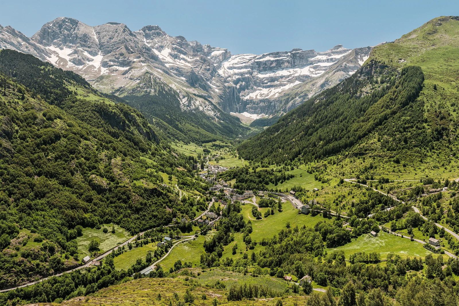
Gavarnie village and cirque approach
Use the official village route toward the cirque within current trail and weather conditions. Longer paths require mountain preparation.
Cauterets and Pont d’Espagne
Treat village, shuttle or road access and the selected waterfall or lake route as one system. Seasonal controls matter.
Lower gateway day
Use Lourdes, a spa town or an interpreted lower-valley route when high access is poor. This is a complete fallback, not a consolation loop.
Know where the day actually begins.
Rail commonly reaches Lourdes, then regional buses or roads continue into separate valleys. Frequencies are seasonal, mountain roads can close, and Gavarnie and Cauterets cannot be combined by a quick cross-valley transfer.
Choose what the route leaves out.
The route gives up seeing both major valleys in one day. One gateway and one signed mountain objective preserve weather judgment, walking time and the last descent or bus.
Fit this route into French Basque Coast & the Pyrenees, not into an isolated checklist.
Bayonne and Biarritz share an urban coastal network, Saint-Jean-de-Luz opens a different harbor and inland Basque corridor, and Gavarnie or Cauterets require a separate Pyrenean base. Ocean conditions and mountain conditions must be checked independently.
Three nights on the coast support Bayonne, Biarritz and Saint-Jean-de-Luz; add separate mountain nights around Lourdes, Cauterets or Luz-Saint-Sauveur for Pyrenean routes. A coast hotel is not a practical high-mountain base.
Regional rail links coastal towns, with local buses for beaches and inland villages. Pyrenean valleys depend on seasonal buses, cars and weather-sensitive roads; the final trail or lift has its own status.
Surf, swimming, red-flag closures and storms shape the Atlantic. Snow, road status, waterfalls, heat and thunderstorms shape the mountains. Shoulder-season services thin in both systems.
Use Bayonne museums, Biarritz aquarium or Saint-Jean-de-Luz town when the ocean is unsafe; use Lourdes, Cauterets village or a lower interpreted site when mountain roads or trails close.
Arrive, read the place, commit, then protect the return.
Check Pyrenees National Park notices, mountain weather, valley bus or road, parking or shuttle, trail status and the last return immediately before departure.
- 01Arrive
Reach the correct valley base
Confirm the Lourdes connection, valley bus or road status and the final return before leaving the rail corridor.
- 02Read the place
Read the official conditions
Use park, commune and weather notices to select the route. Carry layers, water and footwear appropriate to the actual elevation.
- 03Commit
Commit to one signed objective
Walk only the selected village, waterfall, lake or cirque approach, turning back when weather, time or ability reaches the preset limit.
- 04Return
Return before mountain options close
Reach the village and bus or car with daylight and a backup, then continue to the lodging or rail gateway.
Use the live operator, monument and destination sources for this route.
The route explains the decision; these official pages control current admission, transport, weather, access and closures.
Keep the day useful when the headline plan disappears.
If high roads, lifts or trails close, remain in the valley town, Lourdes or another lower interpreted site. Never replace a closed official route with a social-media shortcut.
Check Pyrenees National Park notices, mountain weather, valley bus or road, parking or shuttle, trail status and the last return immediately before departure.
Change the plan before the problem compounds.
Weather changes above the forecast town
Use mountain forecasts and observe cloud, lightning and temperature on the route.
Seasonal buses can be one-trip traps
Confirm the final return and whether reservations apply before walking away from the stop.
Protected-area conduct is structural
Stay on signed paths, manage waste, keep distance from wildlife and follow dog or drone restrictions.
Other ways to use French Basque Coast & the Pyrenees.
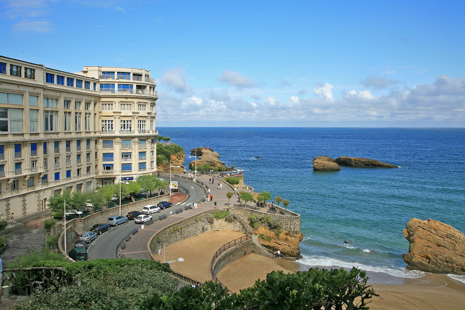
Bayonne & Biarritz
Choose whether Bayonne’s river-and-culture city or Biarritz’s exposed ocean front leads the day, then connect them by the…
Open this guide →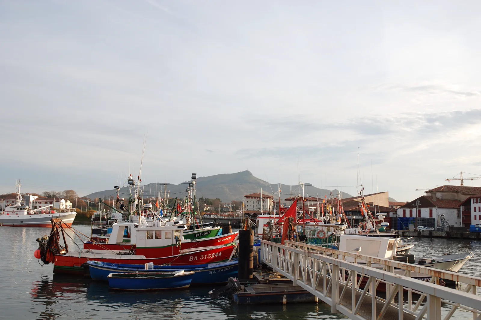
Saint-Jean-de-Luz & Basque Inland Villages
Use Saint-Jean-de-Luz’s harbor, church and bay as a complete coastal route, adding one inland village only through a…
Open this guide →Gavarnie, Cauterets & Pyrenean Gateways FAQ
How much time should I give Gavarnie, Cauterets & Pyrenean Gateways?
Give either Gavarnie or Cauterets a full day from a nearby valley base. From Lourdes, expect a long transport day; from the coast, add an overnight.
What should I combine with Gavarnie, Cauterets & Pyrenean Gateways?
Combine one valley with its own town and lower route. Keep the Basque coast and the other Pyrenean valley for separate days.
What should I verify before leaving?
Check Pyrenees National Park notices, mountain weather, valley bus or road, parking or shuttle, trail status and the last return immediately before departure.
Official sources and photo credits
Planning facts and image licensing were reviewed on 19 September 2026. Admission, transport, roads, trails, sea, fire, weather and local access can change; reopen the linked authority or operator before travel.
- Pyrenees National Park — official conditions and conduct.
- Gavarnie-Gèdre tourism — official valley access.
- Pyrénées-Atlantiques tourism — official regional guide.
- TER Nouvelle-Aquitaine — official coastal rail.
- 00 1466 Biarritz - Frankreich.jpg — W. Bulach, CC BY-SA 4.0. Resized, display-cropped and converted to WebP; no other material edits.
- Jean de Luz Port Rhune.jpg — No machine-readable author provided. Harrieta171 assumed (based on copyright claims)., CC BY 2.5. Resized, display-cropped and converted to WebP; no other material edits.
- Gavarnie recti small Wikimedia Commons.jpg — Benh LIEU SONG, CC BY-SA 3.0. Resized, display-cropped and converted to WebP; no other material edits.