Corsica: Ajaccio, Cap Corse & the South
Choose one coast; mountain roads make the island larger than its outline.
Corsica’s airports, ferry ports, rail lines and mountain roads create several separate island systems. Ajaccio and the west coast, Bastia and Cap Corse, and Bonifacio–Porto-Vecchio in the south each deserve a base. Driving time, parking and weather outweigh straight-line distance.
Sleep where the useful departures are.
Use at least five to seven nights for two island regions and more for a wider circuit. One base cannot serve every coast efficiently; change lodging only when the new base removes a repeated mountain-road transfer.
Solve the complete last mile.
Flights and ferries arrive at different cities; the island railway covers selected corridors, not the entire coast. Rural buses can be limited, and rental-car pickup, fuel and parking need to be confirmed before arrival.
Let current conditions edit the map.
Summer adds heat, fire risk, congestion and full boats; shoulder seasons reduce services and some businesses. Mountain weather can differ sharply from the coast, and sea state affects ferries and boat excursions.
Keep a real lower-risk day.
Keep a city, museum, market or short signed coastal route for days when boats, roads or fire controls disrupt the plan. Do not reroute onto unfamiliar mountain roads simply because one coast is closed.
Choose the route that answers the day you actually have.
Each file has its own access contract, sequence, fallback, failure points, official sources and licensed image record.
Ajaccio & the West Coast
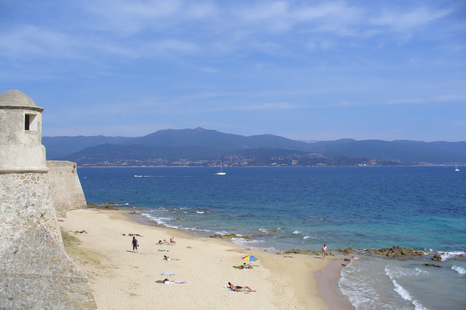
Use Ajaccio as a walkable port-and-museum base, adding the Sanguinaires or a Piana–Porto excursion only through a defined boat or road contract.
Open the complete route →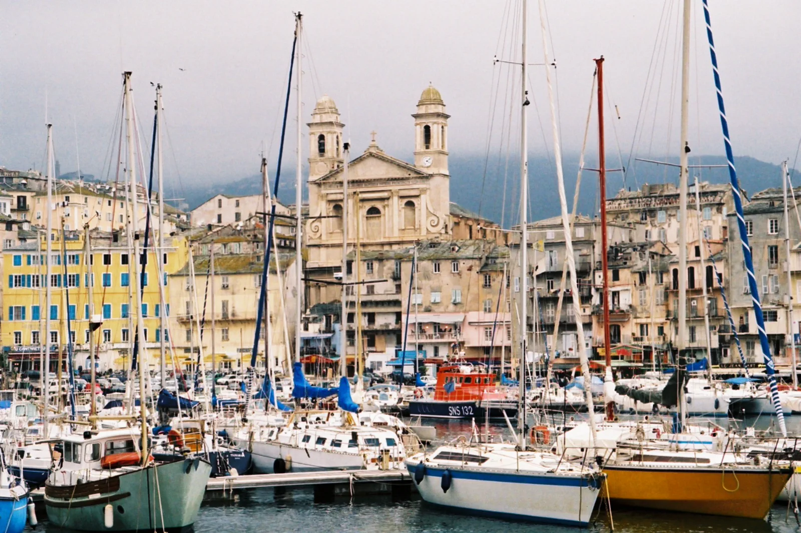
Bastia & Cap Corse
Use Bastia’s old port and citadel as a complete city, adding one side of Cap Corse only through a bounded road, bus, bicycle or tour route.
Open the complete route →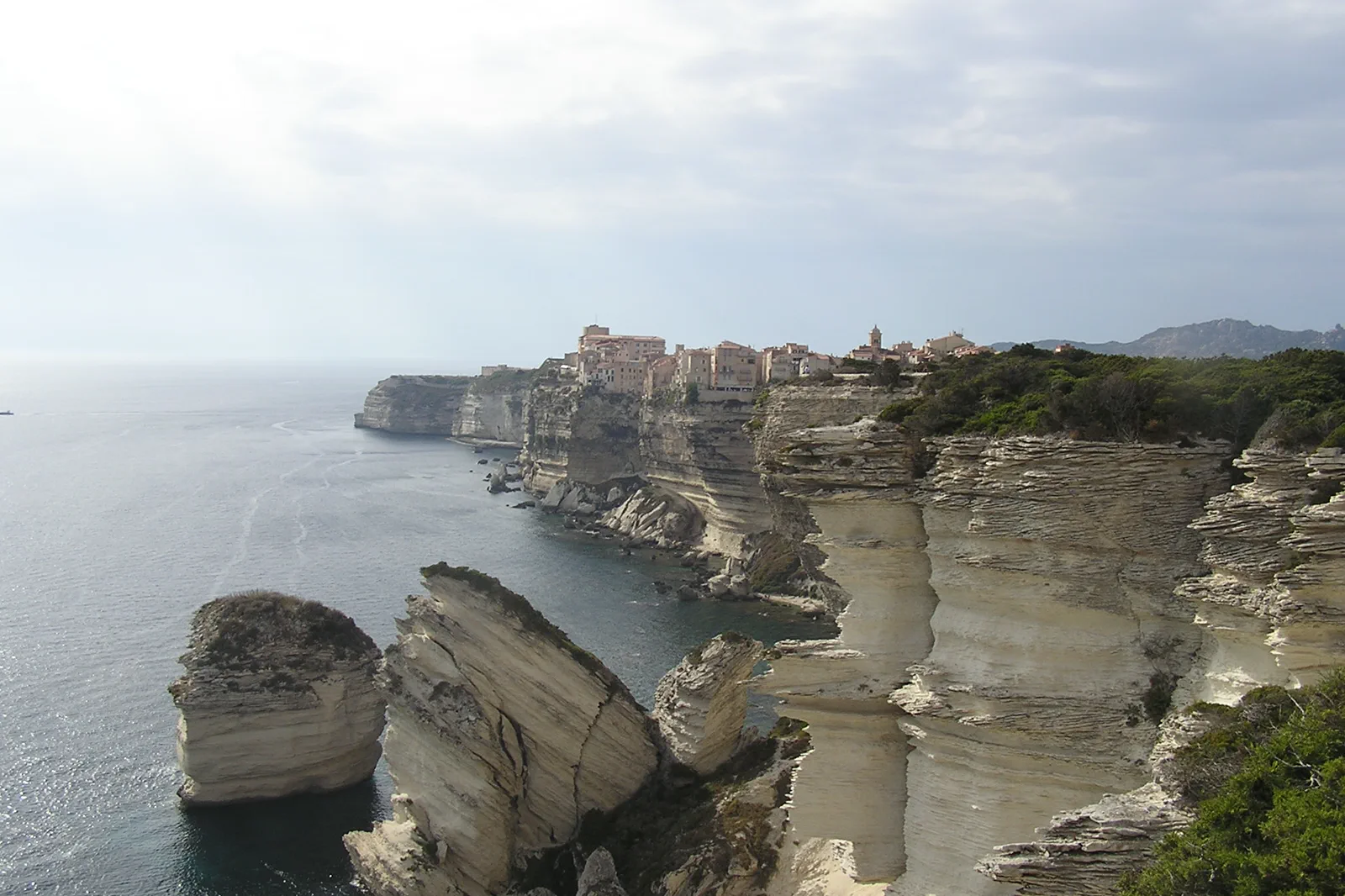
Bonifacio & Porto-Vecchio South
Choose Bonifacio’s cliff city, a licensed sea view or a Porto-Vecchio beach corridor, then solve parking, buses and heat instead of trying to cover the entire south coast.
Open the complete route →Three routes, three different sacrifices.
Ajaccio & the West Coast
Access: Ajaccio airport, ferry port and rail station sit in different parts of the urban area. Confirm the first transfer and any rental-car pickup; west-coast roads require conservative travel time and fuel.
Trade-off: The city, Sanguinaires and Piana cannot all be meaningful in one day. The route keeps Ajaccio plus one near-gulf layer, or gives the entire day to the west coast.
Time: Allow five to seven hours for Ajaccio and Sanguinaires, and a full long day or overnight for Piana–Porto.
Bastia & Cap Corse
Access: Bastia ferry port, rail station and old port are distinct but close urban nodes. Cap Corse services are limited and roads narrow; confirm rental terms, bus return and parking before leaving the city.
Trade-off: A deep Bastia visit and complete Cap Corse loop exceed one day. The route keeps the city plus one northern segment or gives the peninsula its own day.
Time: Allow five to seven hours for Bastia and a full day for one Cap Corse sector. A complete peninsula loop may be better with an overnight.
Bonifacio & Porto-Vecchio South
Access: Figari airport, Porto-Vecchio and Bonifacio require bus, transfer or car planning. Parking sits outside sensitive centers and beaches; summer shuttles and road queues can determine the practical route.
Trade-off: Bonifacio, a long boat circuit and several beaches exceed one day. The route keeps one town and one sea or beach contract.
Time: Allow five to seven hours for Bonifacio alone and a full day for Porto-Vecchio plus one beach. A boat adds several hours and should replace another major layer.
These regional sources control the moving parts.
Use the guide for structure, then reopen official transport, destination and weather information for the exact travel date.
Corsica: Ajaccio, Cap Corse & the South FAQ
How long should I give Corsica: Ajaccio, Cap Corse & the South?
Use at least five to seven nights for two island regions and more for a wider circuit. One base cannot serve every coast efficiently; change lodging only when the new base removes a repeated mountain-road transfer.
What transport decision matters most around Corsica: Ajaccio, Cap Corse & the South?
Flights and ferries arrive at different cities; the island railway covers selected corridors, not the entire coast. Rural buses can be limited, and rental-car pickup, fuel and parking need to be confirmed before arrival.
What should I do if weather, access or transport changes?
Keep a city, museum, market or short signed coastal route for days when boats, roads or fire controls disrupt the plan. Do not reroute onto unfamiliar mountain roads simply because one coast is closed.
Official sources and photo credits
Planning facts and image licensing were reviewed on 19 September 2026. Verify current tickets, services, roads, weather and site access before travel.
- Visit Corsica — official island tourism guide.
- Chemins de fer de la Corse — official island rail information.
- Météo-France — official island and marine weather.
- Corsica - Ajaccio - Golfe from the Citadelle - panoramio.jpg — jeffwarder, CC BY-SA 3.0. Resized, display-cropped and converted to WebP; no other material edits.
- Corse-bastia-port2.jpg — Greudin, Public domain. Resized, display-cropped and converted to WebP; no other material edits.
- Bonifacio cliffs -Le Grain de Sable.JPG — JAn Dudík, CC BY-SA 3.0. Resized, display-cropped and converted to WebP; no other material edits.