Cassis, Cap Canaille & La Ciotat
Cassis offers a compact port and Calanques gateway; La Ciotat offers a larger working waterfront and cinema history. Their stations sit away from the postcard centers.
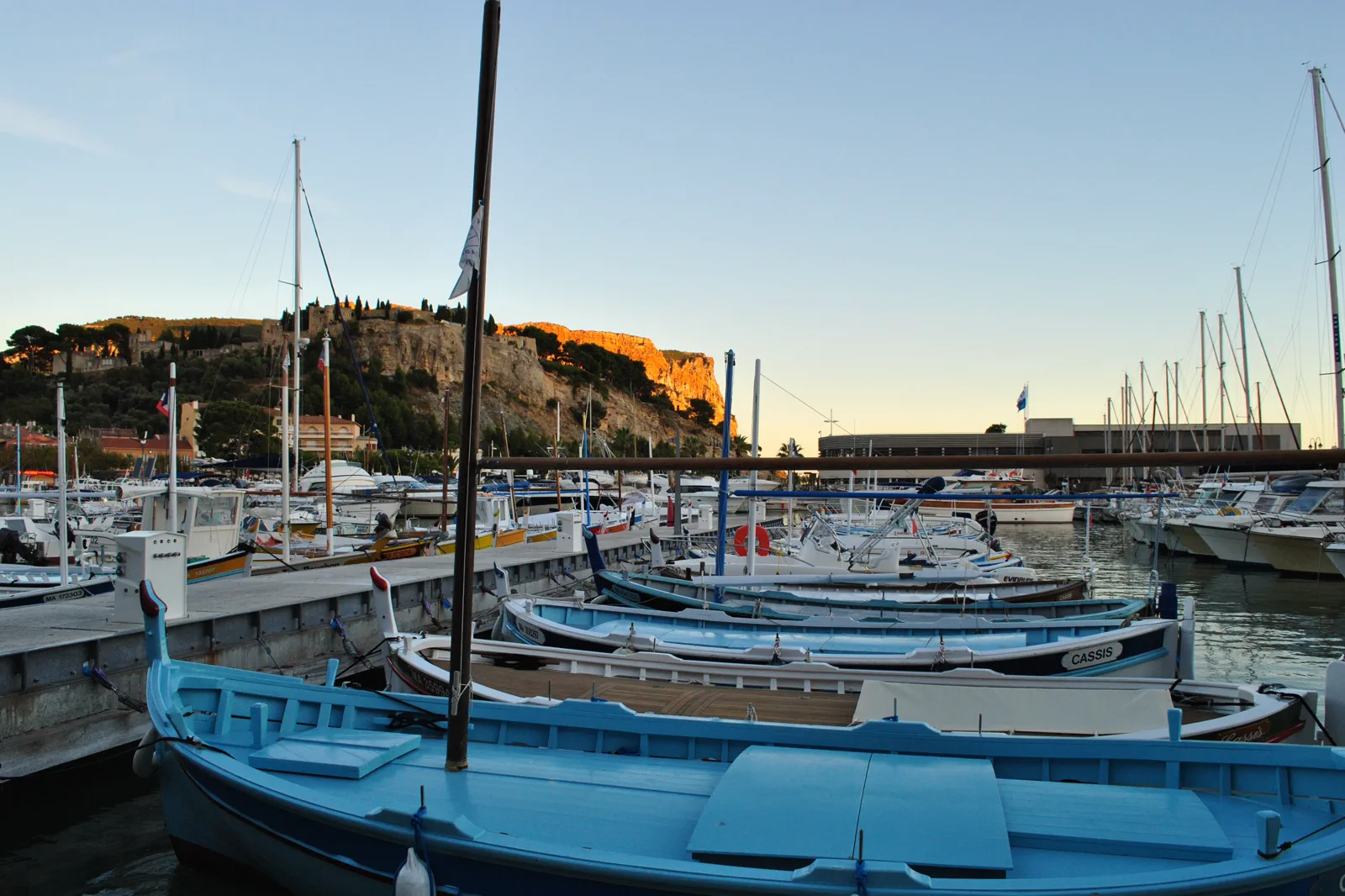
Cassis port day
Use the port, old streets and one official boat or short shore route. Station bus or taxi and summer crowding determine the day.
Cap Canaille viewpoint
Travel the Route des Crêtes only when road, wind and fire status permit. This is a car or tour layer, not a casual port walk.
La Ciotat waterfront
Use the old port, Eden Théâtre context and one nearby calanque or coastal walk through current local access.
Know where the day actually begins.
Cassis and La Ciotat rail stations are inland from their ports. Confirm the local bus, taxi or walk and final return; do not assume a coastal train drops visitors at the harbor.
Choose what the route leaves out.
Both ports, a long boat trip and Route des Crêtes exceed one day. The route chooses one town and one coastal contract; adding both ports turns local transfers into the main experience.
Fit this route into Marseille, Calanques & Cassis, not into an isolated checklist.
Marseille’s port city, the Calanques National Park and Cassis–La Ciotat coast meet geographically but operate differently. Urban transit, summer reservations, fire closures, boat conditions and trail difficulty must be checked before choosing the route. Decide between city, land and sea before breakfast; switching access modes late can strand the return at the wrong port or trailhead.
Three nights support one city day, one park or boat day and one flexible coast day. Base near a useful Metro or tram line; a Vieux-Port view is less valuable if every departure needs a steep or indirect transfer.
RTM serves the city and some park gateways; trains and buses reach Cassis or La Ciotat but stations may sit far from ports and trailheads. Boat excursions depart from named quays and are weather-dependent.
Summer heat and wildfire rules can restrict massif access, sometimes daily. Mistral and sea state affect boats year-round; shoulder seasons improve walking temperatures but not necessarily transport frequency.
Use Mucem, Fort Saint-Jean, Le Panier, Palais Longchamp or another city route when the park closes. A cancelled hike should not become an unauthorized cove entry; a cancelled boat should become land-side Marseille or Cassis.
Arrive, read the place, commit, then protect the return.
Check local bus, train, licensed boat, Route des Crêtes and national-park access, wind, fire risk and the final station transfer.
- 01Arrive
Complete the station-to-port link
At the station, locate the verified bus or taxi and note the evening return before entering the town center.
- 02Read the place
Read one working waterfront
Walk the harbor and old streets without blocking boats or markets, then confirm boat or road conditions.
- 03Commit
Commit to sea, cliff or culture
Board the named boat, use an open road viewpoint or visit La Ciotat’s cinema and port layer. One choice owns the afternoon.
- 04Return
Return before traffic compresses the train
Leave the port with ample bus or taxi margin; summer road queues can erase a tight connection.
Use the live operator, monument and destination sources for this route.
The route explains the decision; these official pages control current admission, transport, weather, access and closures.
Keep the day useful when the headline plan disappears.
If boats or cliff roads close, stay in the selected port town with museum, market and sheltered waterfront. If local transport fails before departure, remain in Marseille or use a rail-accessible city route.
Check local bus, train, licensed boat, Route des Crêtes and national-park access, wind, fire risk and the final station transfer.
Change the plan before the problem compounds.
Rail stations are not waterfront stops
The last mile can be crowded or infrequent; save the actual stop and timetable.
Cliff roads close in wind or fire risk
Do not bypass barriers or walk on a closed road for the view.
Boat products differ
Route length, landing, swimming and departure port vary. Read the official operator terms.
Other ways to use Marseille, Calanques & Cassis.
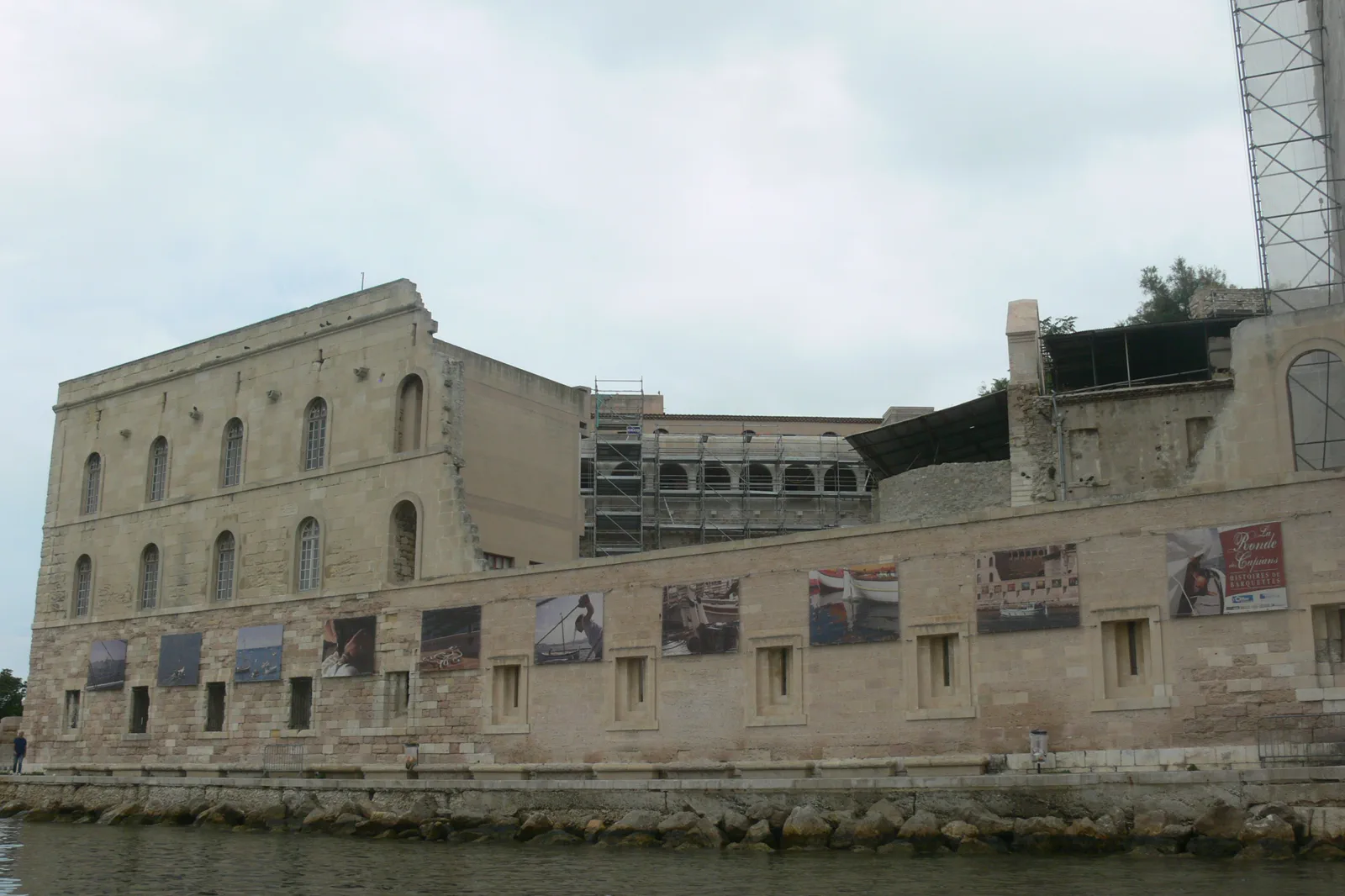
Old Port, Le Panier & Mucem
Connect Marseille’s working Old Port to Le Panier and Mucem through one uphill-and-waterfront loop, keeping markets,…
Open this guide →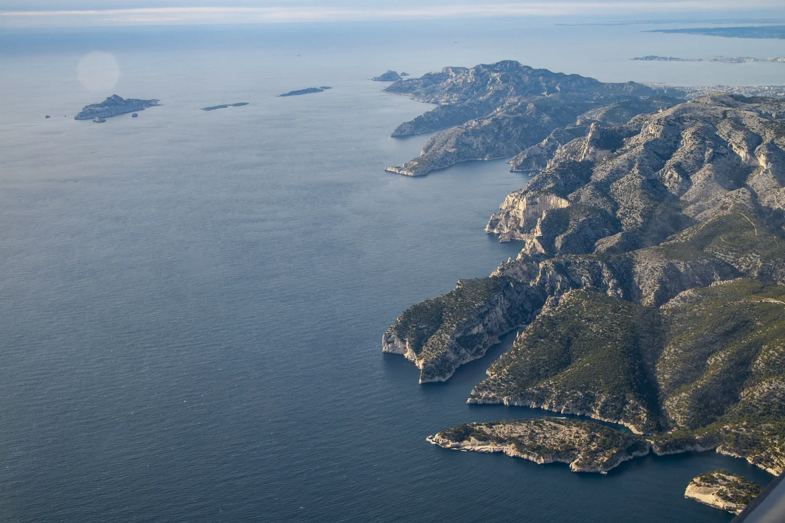
Calanques Access: Hike, Boat or Shore
Choose one legal Calanques access mode only after fire closure, reservation, trail difficulty, sea state and return…
Open this guide →Cassis, Cap Canaille & La Ciotat FAQ
How much time should I give Cassis, Cap Canaille & La Ciotat?
Allow a full day for one port plus one boat or cliff layer. A simple town visit needs four to six hours including station transfers.
What should I combine with Cassis, Cap Canaille & La Ciotat?
Combine Cassis with one boat or approved viewpoint, or La Ciotat with cinema and shore. Keep the two ports and Marseille museums separate.
What should I verify before leaving?
Check local bus, train, licensed boat, Route des Crêtes and national-park access, wind, fire risk and the final station transfer.
Official sources and photo credits
Planning facts and image licensing were reviewed on 19 September 2026. Admission, transport, roads, trails, sea, fire, weather and local access can change; reopen the linked authority or operator before travel.
- Cassis Tourist Office — official port and access planning.
- La Ciotat Tourist Office — official city and coast guide.
- Marseille Tourism — official city guide.
- Calanques National Park — official access and protection notices.
- RTM — official Marseille transport information.
- Marseille - Vieux Port - MUCEM.jpg — Remi Mathis, CC BY-SA 3.0. Resized, display-cropped and converted to WebP; no other material edits.
- Calanques National Park seen from the airplane.jpg — MikkoNilssonCom, CC BY-SA 4.0. Resized, display-cropped and converted to WebP; no other material edits.
- Cap Canaille depuis le port de Cassis.jpg — DJ Poldoc, CC0. Resized, display-cropped and converted to WebP; no other material edits.