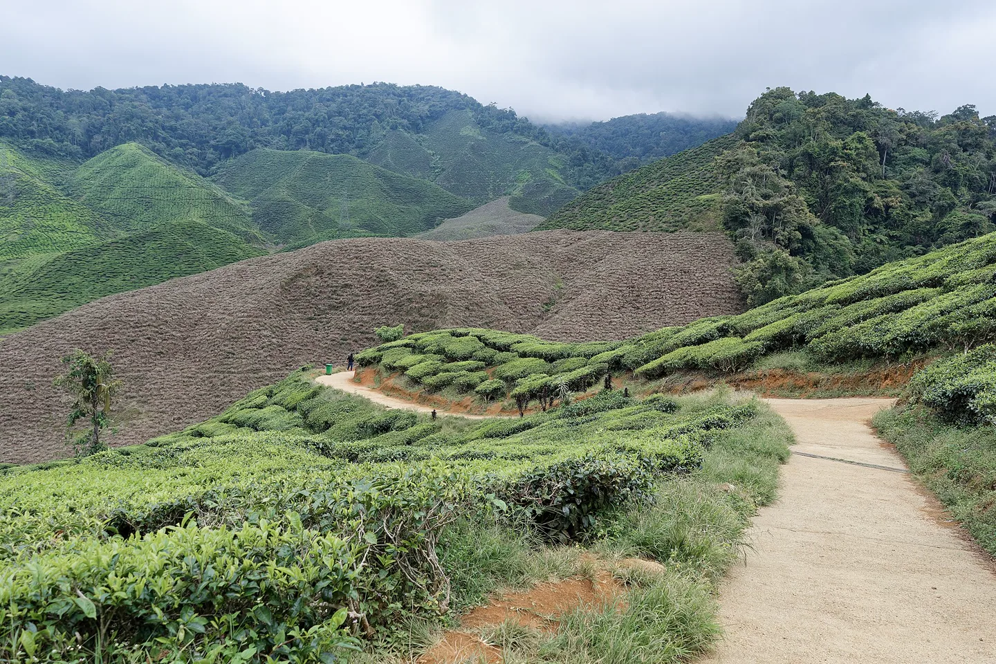
Cameron Highlands is a working ridge, not one cool stop.
Ringlet, Tanah Rata, Brinchang and the northern farm corridor sit along a constrained mountain road. Tea, vegetables, tourism and forest access share that space. Choose one base, start exposed trips early and let rain or congestion remove stops.
Go beyond the regional overview.
Choose a ridge town, then one landscape chapter. Trail access, farm traffic and forest weather make these four routes operate on different clocks.
01Tanah Rata & Trail Network
Use Tanah Rata as a Cameron Highlands base while checking named trails, rain, road arrival and the real walk to transport.
Open the field guide →02Brinchang & Kea Farm
Plan Brinchang and Kea Farm around market hours, farm traffic, road bottlenecks and respectful access to working agriculture.
Open the field guide →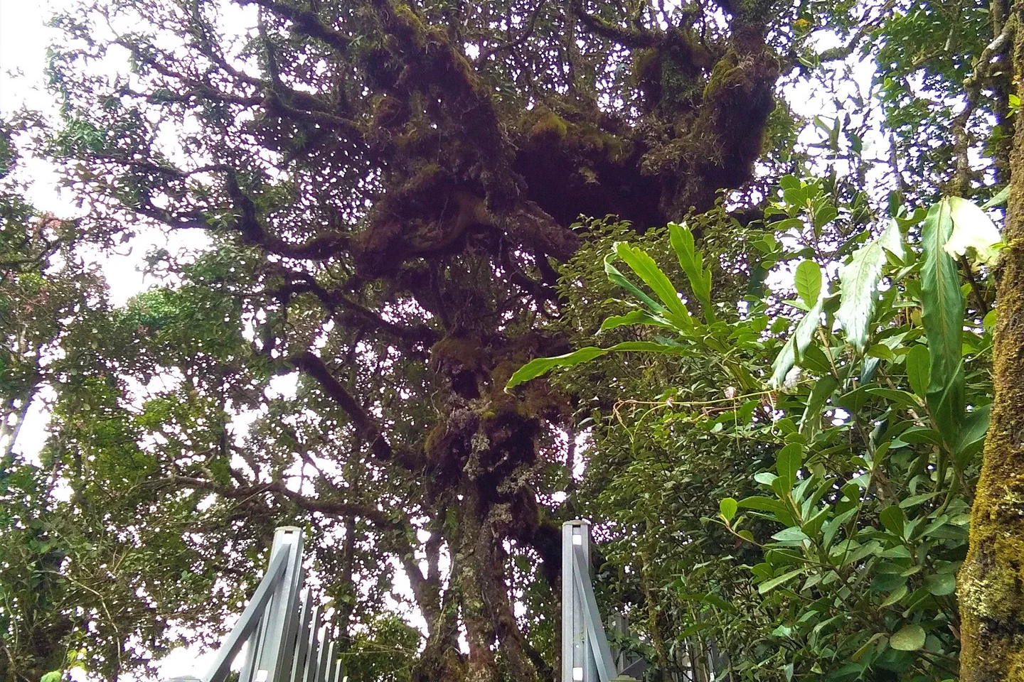 03
03Mossy Forest & Gunung Brinchang
Enter Mossy Forest with current access, authorized transport, boardwalk conduct and a cloud-and-rain fallback.
Open the field guide →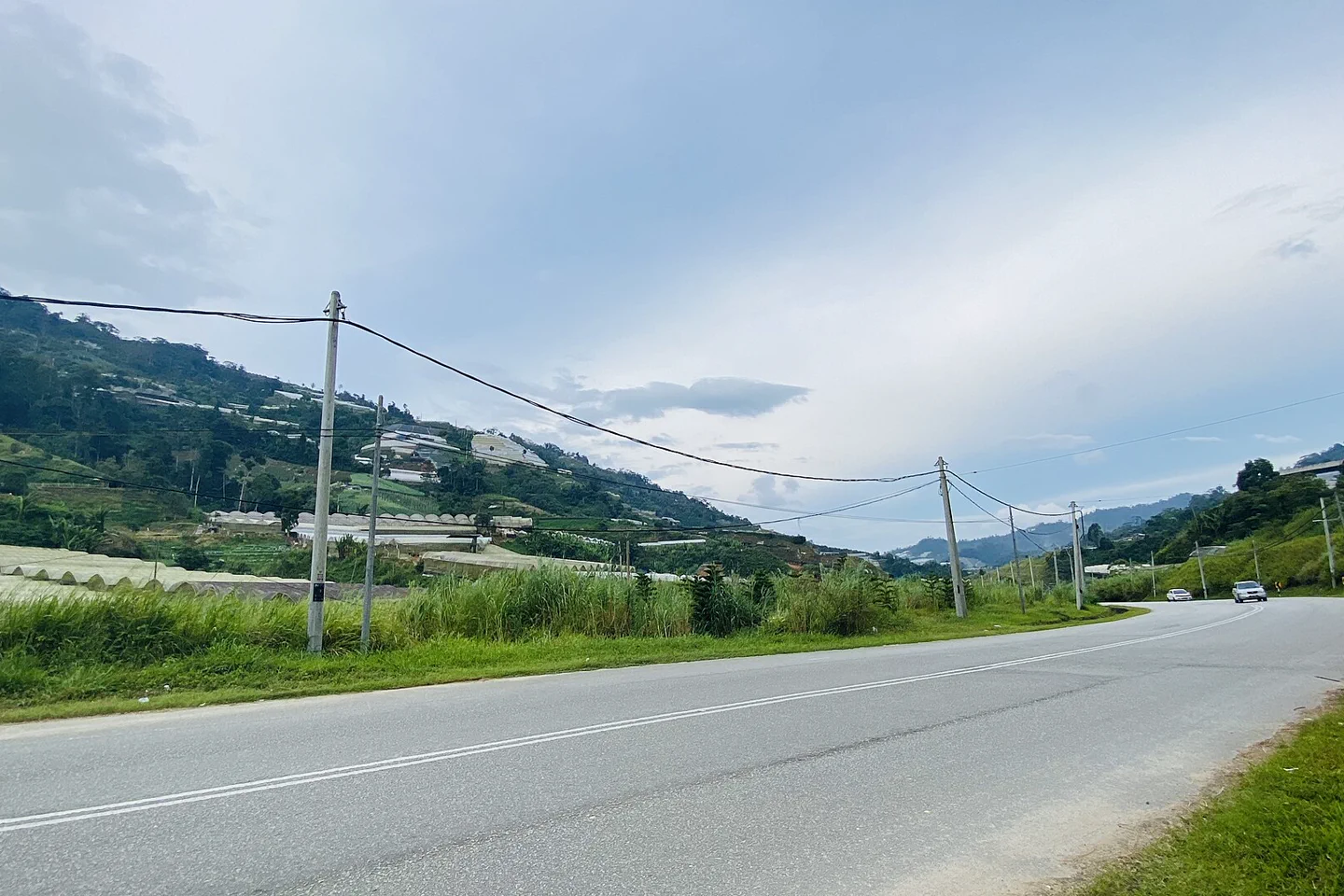 04
04Ringlet & Bertam Valley
Read Ringlet and Bertam Valley as a working agricultural landscape with road safety, public viewpoints and a clean onward transfer.
Open the field guide →The town sequence is the itinerary skeleton.
The official Tourism Malaysia guide describes access by the Tapah road or the route from Simpang Pulai. Whichever approach you use, confirm current road conditions and do not plan the climb like an expressway transfer.
Ringlet
Farms and older highland landscapes begin before the main tourist towns. It can suit a quiet retreat, but most visitors still need a road plan for northern sights and dining.
Tanah Rata
Useful for long-distance bus arrival, restaurants and a compact center. Treat mapped trailheads as condition-dependent and verify access locally before walking out.
Brinchang
Closer to several farms and northern viewpoints, with a different evening rhythm. Weekend traffic and parking can erase the apparent map advantage.
Tringkap to Kampung Raja
This is a production landscape of farms, homes and roads, not an open-air photo set. Visit designated businesses and keep private fields, workers and roadside movement unobstructed.
Stay where your first departure becomes simple.
A single base avoids repeated packing on a short trip. Check the exact road location, not only the town label—steep access and a remote hillside can change every meal and pickup.
Tanah Rata
Choose it when arriving by long-distance bus, when independent dining matters or when a central pickup is useful. It does not eliminate the road journey to northern farms or a verified forest access point.
Confirm whether the accommodation is actually in the compact center or on a road outside it.
Brinchang
Choose it for proximity to several farm and market zones, accepting denser traffic and variable pedestrian conditions. A view from the room is not proof that the next attraction is safely walkable.
Ask about parking, pickup, road noise and realistic weekend transfer time.
Use the day before rain and traffic use it for you.
Tea rooms, farms, markets and trails have different operating rhythms. Verify each business directly and keep agriculture visible as work rather than generic scenery.
CLOCK
Tea landscape or viewpoint
Use clearer light and lighter traffic for one booked or verified site. A plantation road may be narrow, private or capacity-limited; follow staff directions.
Farm visit with context
Choose a designated visitor business, buy from the producer when practical and never enter planted rows or photograph workers closely without permission.
Town, museum or café reserve
Rain, cloud and traffic often make a flexible indoor layer more useful than another exposed ridge stop. Keep the return to the base short.
One market or quiet meal
Night temperature and rain can feel sharply different from the lowlands. Carry a dry layer and arrange the return before assuming a late ride will be available.
A mossy forest is habitat, not a green photo studio.
Access roads, boardwalks and trails can close or require a different transport or guide arrangement. Check current official and local advice, stay on the authorized route and never use geotag pressure as a reason to leave it.
The highlands are productive, inhabited and ecologically strained.
Roadside stalls and visitor farms operate within a much larger food-production system. The useful traveler behavior is ordinary: stay on public routes, ask permission and do not create traffic for a photograph.
Leave room for the people who use the road every day.
Pull over only in a designated safe place. Keep farm entrances clear, follow biosecurity or footwear directions and treat Orang Asli communities as living communities—not uninvited attractions on the drive.
Never enter a village, farm or private road because a travel post implies it is open. Use invited, community-led or clearly public experiences.
Give the mountain one full, unfragmented day.
This sequence assumes two nights. Add a third when hiking is central, when the trip falls on a busy period or when Cameron Highlands sits between two long road journeys.
Climb, check in, stay local
Arrive before dark when practical. Learn the immediate town on foot, verify the next morning's transport and do not turn the mountain approach into a chain of roadside stops.
One early ridge, one working landscape
Use the morning for a verified tea or forest chapter, then add a designated farm, market or town layer. Remove rather than replace stops when rain or congestion builds.
Short walk, protected descent
Choose a conservative local activity and begin the onward road with daylight and buffer. Do not attach an unfamiliar trail to a fixed long-distance bus.
The last ten kilometers can control the whole day.
Distances look short on a regional map. Curves, fog, rain, agricultural traffic, holiday congestion and road works can change the actual transfer.
Bus, driver or self-drive?
Confirm terminal, pickup point and accommodation transfer. If driving, choose the route for current conditions and driver confidence—not because an old itinerary calls one road scenic.
Dry plan and wet plan
Carry rain protection and a warmer layer. Keep one town, café or museum option ready so poor visibility does not become pressure to continue on an exposed trail.
Cameron Highlands planning FAQ
How many nights are useful in Cameron Highlands?
Two nights provide one full highland day without turning arrival and departure into attraction days. Three add a weather buffer or a slower farm and forest route.
Should I stay in Tanah Rata or Brinchang?
Tanah Rata is useful for bus arrival, dining and a walkable town base. Brinchang can shorten some northern transfers but may face heavier traffic and different evening conditions.
Can I hike independently?
Trail condition, access and navigation vary. Check current local advice, weather and daylight, tell a reliable person the route and use a qualified guide when warranted.
Is a tea plantation free to enter?
No general assumption applies. Plantations are working properties with specific visitor areas, hours, roads and rules. Check the chosen business directly.
Can I visit from Kuala Lumpur as a day trip?
The mountain-road time makes a day trip fragile and traffic-heavy. An overnight stay gives the highlands a real morning and avoids compressing both climbs into one long day.
Is it always cold?
It is cooler than the lowlands, not uniformly cold. Sun, rain, wind, elevation and indoor conditions vary; carry adaptable layers and rain protection.
Official sources and photo credits
Planning facts and licenses were reviewed on 30 August 2026. Roads, trail access, business hours and weather change; verify close to travel. Photographs were resized, center-cropped to 1440 × 960 and converted to WebP; no other material edits were made.
- Tourism Malaysia — Cameron Highlands guide, access and trail advice.
- Tourism Pahang — official Cameron Highlands and state brochures.
- METMalaysia — district weather forecast.
- Cameron Bharat tea landscape — Jakub Hałun, CC BY 4.0.
- Mossy Forest tree — Pro QueeNia, CC BY-SA 4.0.
- Bertam agricultural landscape — Slleong, CC0 1.0.