Tanah Rata & Trail Network ridge-base notebook.
Use Tanah Rata as a Cameron Highlands base while checking named trails, rain, road arrival and the real walk to transport.
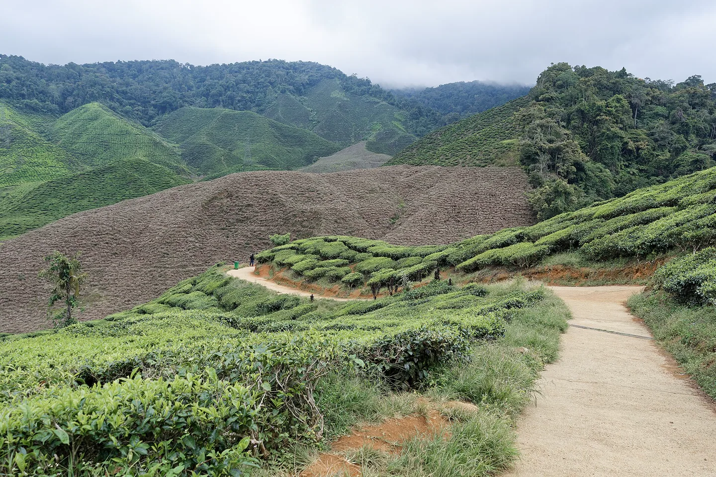
Confirm the bus terminal, road transfer and check-in; mountain traffic can stretch the final kilometers.
Town orientation, one verified walk, a rain-safe pause and an early dinner keep the base useful.
Do not enter unsigned plantation roads, construction areas or a trail whose current condition is unknown.
One chapter, with its edges left visible.
Tanah Rata is the most practical ridge-town base for many visitors, but a trail number on an old blog is not current access evidence. Rain and development can change routes.
Keep the sequence legible.
Town orientation, one verified walk, a rain-safe pause and an early dinner keep the base useful.
Base
Map the terminal, food street and accommodation before leaving town.
Trail gate
Confirm the exact entrance, exit and current condition.
Walk
Carry rain protection, water and enough daylight for the chosen path.
Return
Finish before fog, rain or darkness complicates the road edge.
Three weak points to solve.
These checks change faster than the page. Reconfirm them with the listed official source and the actual operator close to travel.
Trail drift
Maps and numbers can outlive the path they describe.
Rain
Mud and visibility change quickly at elevation.
Road shoulder
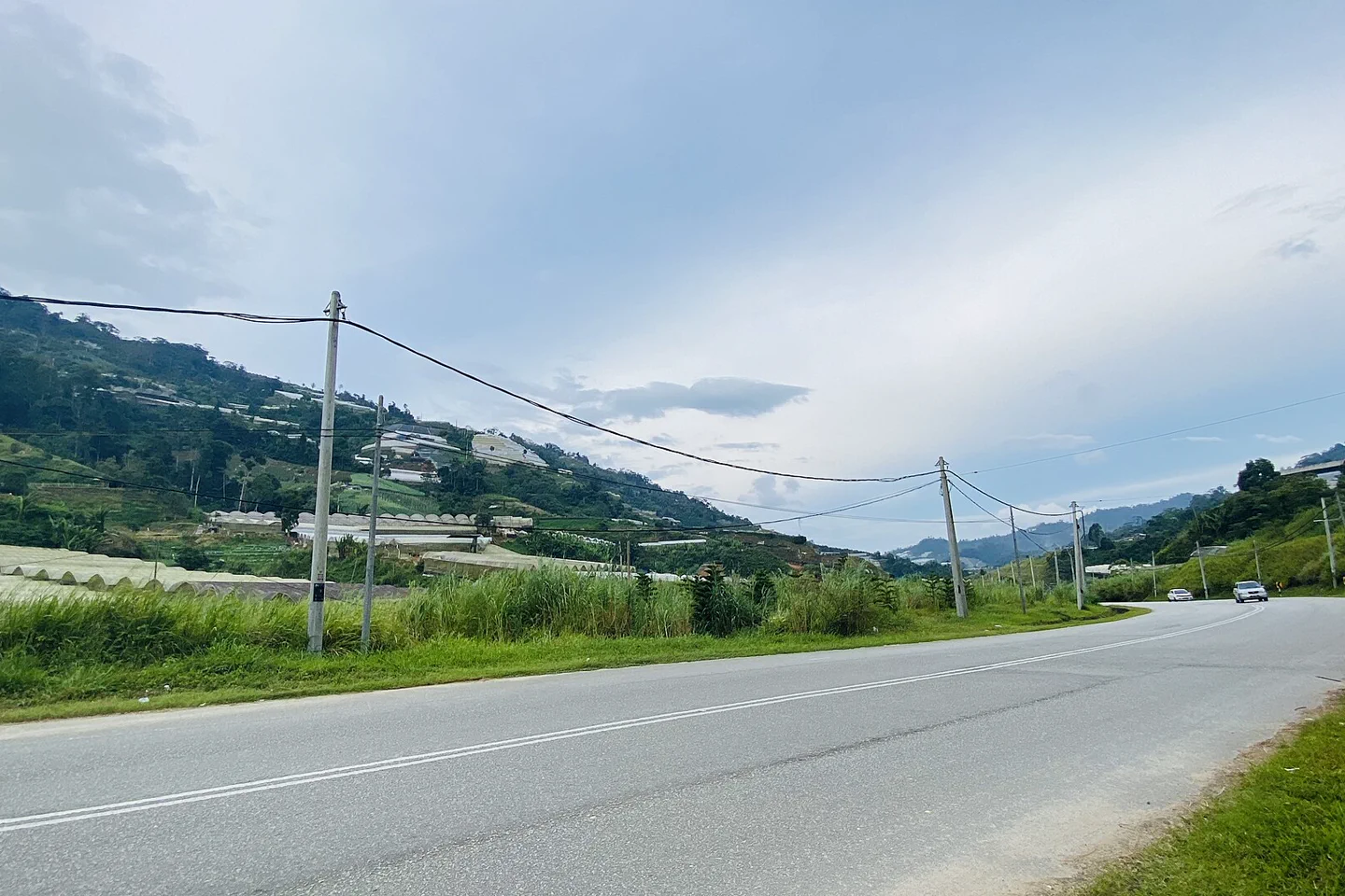
Not every connection between trail and town is pedestrian-friendly.
Do not enter unsigned plantation roads, construction areas or a trail whose current condition is unknown.
Tanah Rata & Trail Network FAQ
How much time should Tanah Rata & Trail Network receive?
Two or three nights make Tanah Rata a useful base; one verified half-day trail is enough for a single day.
Can I combine Tanah Rata & Trail Network with another major chapter?
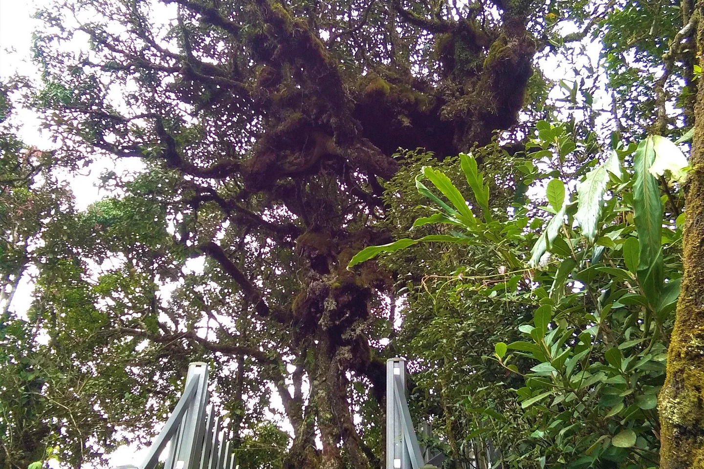
A tea landscape can fit another day. Mossy Forest and Ringlet need separate road logic.
What should I verify before leaving?
Check trail access locally, district weather, bus service and road conditions.
Choose the next chapter by purpose.
Return to the regional guide before joining distant branches into one day.
Official sources and photo credit
Planning facts and the image license were reviewed on 30 August 2026. Schedules, access, permits, weather and operator terms change; verify directly before travel.
- Tourism Malaysia — Cameron Highlands guide.
- Tourism Pahang — official highlands brochures.
- METMalaysia — district weather forecast.
- Cameron Bharat tea landscape — Jakub Hałun, CC BY 4.0. Resized, center-cropped and converted to WebP; no other material edits.