Galicia & Asturias: Atlantic Cities and Green North
Northwestern Spain trades the interior’s heat for Atlantic weather, green valleys and a more dispersed coast. Santiago de Compostela has a strong rail-and-walk centre, while the Rías Baixas and Asturias’ Picos gateways need a dated bus, road or seasonal access plan beyond the mainline station.
Use Santiago or Oviedo as an urban anchor and add one coastal or mountain corridor at a time. The train connects major cities, but beaches, small harbours and Picos trailheads often need another operator or a car; check the return and weather before committing to a long loop.
Late spring and early autumn often support longer walks, but Atlantic rain can arrive in any month. Summer adds demand at coastal towns and managed national-park approaches. Mountain weather can differ from the coast; consult AEMET and official park, road or shuttle notices for the exact trailhead and date.
Renfe serves long-distance and regional rail corridors between larger cities; local and intercity buses connect some coast and mountain towns. For the Picos de Europa, road access can be restricted or managed in busy periods, and park shuttles may be seasonal. Check the specific operator, trail start and the final return rather than assuming the nearest rail station reaches the park.
Santiago’s old town suits an arrival on foot but has cobbles and pedestrian restrictions; the station is on a slope below the centre. Vigo or Pontevedra can serve different Rías Baixas routes. Oviedo is a useful rail base, while Cangas de Onís or a park-edge village may be better for a Picos excursion if lodging access is confirmed.
A car is useful for dispersed coastal viewpoints, rural lodging and some park access, but village parking and managed roads are constraints. For Santiago, Vigo, Pontevedra and Oviedo, a city stay can work by foot and rail. Rent only when the route, parking and return are better than a verified bus connection.
Each route has a different centre of gravity.
Compare the arrival, main commitment and effort. A compact city walk, timed interior and rural extension are not interchangeable day plans.
Santiago de Compostela: Station to the Old Town
Plan the train station approach to the historic core, choose a cathedral or museum interior and leave enough energy for the cobbled return uphill.
Open route guide →02Select a rail-served city and a single coastal extensionRías Baixas: Pontevedra, Vigo & the Coastal Branch
Choose Vigo or Pontevedra as the rail anchor, then add one beach, island or estuary visit only after checking the bus, boat and return connection for the date.
Open route guide →03An urban rail base and a mountain excursion with managed road accessOviedo, Covadonga & the Picos Access Choice
Keep Oviedo’s walkable centre separate from a Covadonga or Picos excursion; check park transport, road restrictions and the exact trailhead before booking an overnight or driving.
Open route guide →From the rail trunk to the local door.
Use the right gateway
Renfe serves long-distance and regional rail corridors between larger cities; local and intercity buses connect some coast and mountain towns. For the Picos de Europa, road access can be restricted or managed in busy periods, and park shuttles may be seasonal. Check the specific operator, trail start and the final return rather than assuming the nearest rail station reaches the park.
Let the base protect the evening
Santiago’s old town suits an arrival on foot but has cobbles and pedestrian restrictions; the station is on a slope below the centre. Vigo or Pontevedra can serve different Rías Baixas routes. Oviedo is a useful rail base, while Cangas de Onís or a park-edge village may be better for a Picos excursion if lodging access is confirmed.
Make the car earn its cost
A car is useful for dispersed coastal viewpoints, rural lodging and some park access, but village parking and managed roads are constraints. For Santiago, Vigo, Pontevedra and Oviedo, a city stay can work by foot and rail. Rent only when the route, parking and return are better than a verified bus connection.
Frequently asked questions
Is the north of Spain always rainy?
Atlantic conditions are variable rather than continuously wet. Carry a layer, check AEMET and keep a flexible indoor or lower-elevation option for coastal and mountain days.
Can I reach the Picos de Europa without a car?
Some approaches use buses or seasonal park services, but the route and restrictions depend on the date and starting point. Check official park and operator notices before choosing a base or trail.
Is Santiago station beside the old town?
It is close in city terms but sits below the centre, so the walk involves a slope. Plan a taxi or transit with luggage and use a manageable pedestrian route for the return.
Official regional sources & photo credit
Routes and licensing reviewed 20 October 2026. Recheck train, bus, entry, weather, path and ferry notices for your date.
- Asturias official tourism information.
- Asturias official Picos de Europa visitor guidance.
- Galicia official tourism information.
- Renfe official rail planner.
- AEMET official weather warnings.
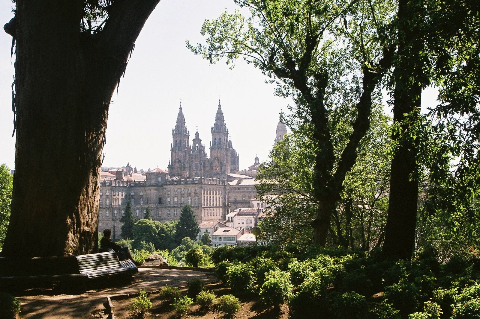
- Santiago de Compostela Cathedral.jpg — Sudzie, CC BY-SA 4.0. Resized and cropped to a WebP derivative; changes made. The derivative remains under CC BY-SA 4.0.