Lauterbrunnen Valley & Mürren
Use Lauterbrunnen as the valley-floor spine, then choose either Mürren/Gimmelwald elevation or a longer waterfall-valley walk rather than trying to stack every cableway.
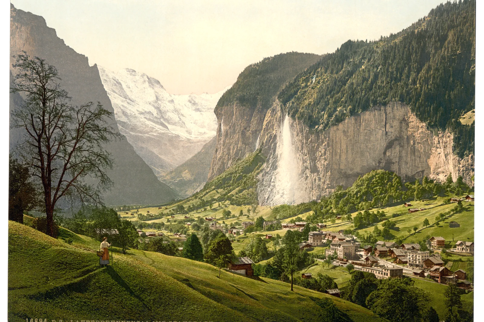
Valley day
Staubbach, valley floor and one waterfall area; lower cost and weather risk.
Mürren balcony day
Use mountain transport for high-village views; strongest in clear weather.
One-way loop
Ascend and descend by different branches only when every connection is operating.
Know where the day actually begins.
Rail reaches Lauterbrunnen from Interlaken Ost. Mürren requires an additional mountain-transport chain via Lauterbrunnen or Stechelberg depending route and operations. Decide the ascent and descent sides before starting.
What this route gives up.
Valley walking gives scale and waterfalls with low ticket dependence; Mürren adds a high-balcony village perspective. Doing both works only with an early start and a protected descent, otherwise each becomes rushed.
Fit this field guide into Jungfrau Region, not into an isolated checklist.
Lauterbrunnen, Wengen and Grindelwald look close on a map but each uses a different valley and mountain-rail rhythm. A successful stay separates valley floor, high-village and summit days. The region rewards early starts, weather swaps and disciplined return planning far more than collecting every famous viewpoint.
Three to five nights provide useful weather flexibility. Interlaken is the broad transport base; Lauterbrunnen or Grindelwald reduce morning transfers for valley-specific plans, while Wengen removes cars from the overnight experience.
Mountain railways and cableways branch from Interlaken Ost through Lauterbrunnen and Grindelwald. Exact trains, cable cars and reservation requirements differ by destination, so save the operator and final descent before departure.
Snow, trail closures, maintenance periods and low cloud can transform the region while valley villages remain accessible. Summer hiking and winter snow transport are different operating systems, not interchangeable scenery.
If high summits disappear, stay in Lauterbrunnen valley, visit villages, use lower viewpoints or shift to Lake Thun/Brienz. Do not spend a premium summit fare simply because the day was reserved for it.
Arrive, orient, commit, then protect the return.
Check Jungfrau-region transport status, cableways to Mürren, trail conditions and MeteoSwiss. Seasonal maintenance can remove one side of a classic loop.
- 01Arrive
Arrive at Lauterbrunnen
Use the station and valley bus as the day’s transport spine.
- 02Orient
Walk one valley section
Choose the most useful waterfall stretch instead of marching end to end automatically.
- 03Commit
Commit to elevation only if clear
Take the Mürren branch when views and operating status justify it.
- 04Return
Descend on the protected chain
Leave the high village with enough margin for the final rail back toward Interlaken.
A useful day even when the postcard disappears.
If high lifts are clouded or windy, keep the valley floor, Staubbach area and a shorter village circuit. If rain intensifies, reduce exposed paths and use rail/bus links rather than chasing waterfalls on slippery terrain.
Check Jungfrau-region transport status, cableways to Mürren, trail conditions and MeteoSwiss. Seasonal maintenance can remove one side of a classic loop.
Change the plan before the problem compounds.
Falling-water conditions
Waterfall paths can be wet, slippery or seasonally restricted. Respect closures.
Cableway maintenance
A named village may remain reachable while one classic connection is closed. Verify the route, not just the destination.
Valley traffic
Buses and local access routes are working transport corridors. Use signed paths and stops rather than road shoulders.
Other ways to use Jungfrau Region.
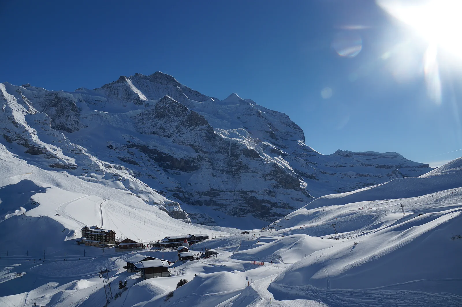
Wengen & Kleine Scheidegg
Climb from Lauterbrunnen to car-free Wengen and, when weather supports it, continue toward Kleine Scheidegg for a…
Open this guide →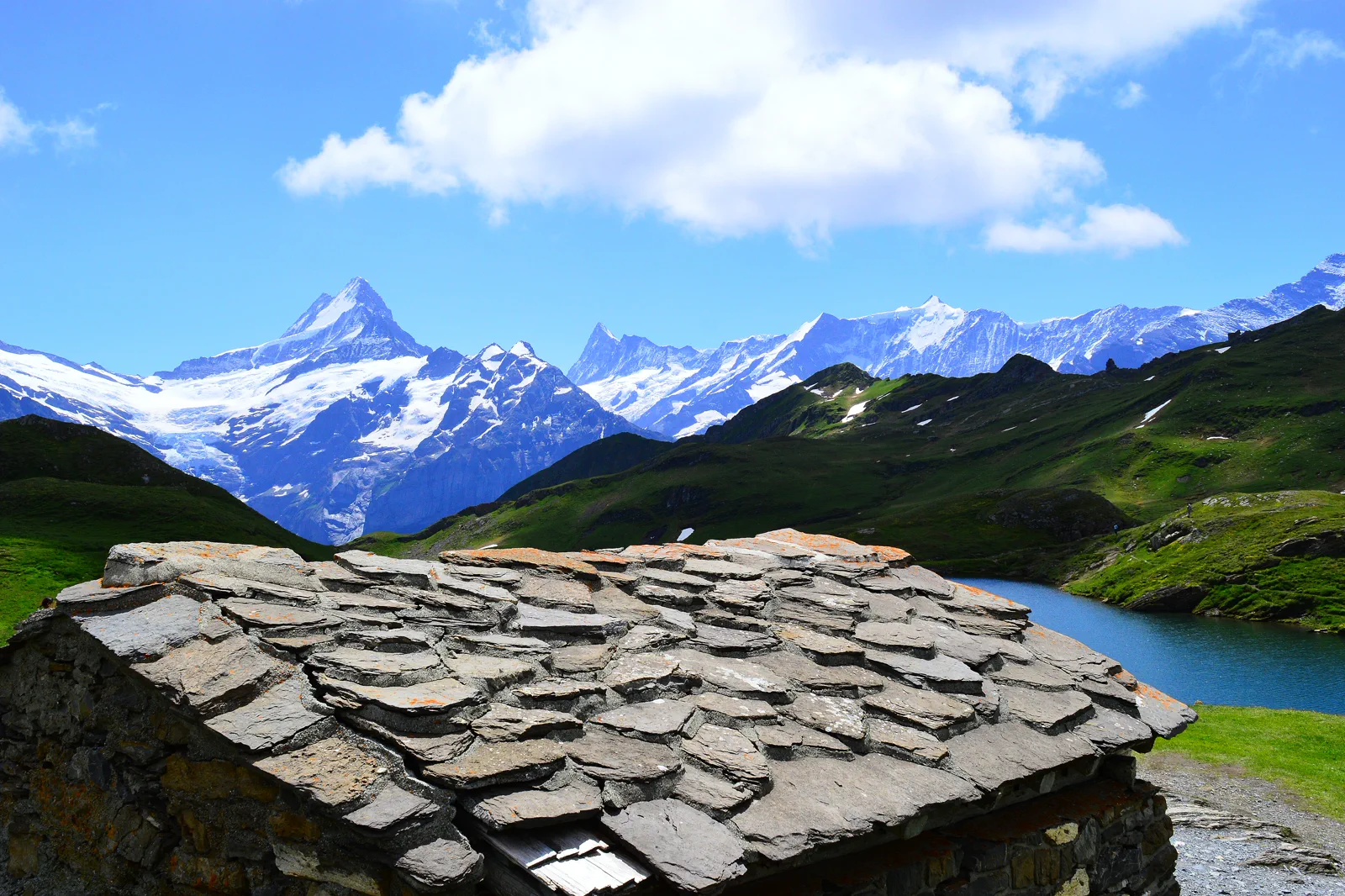
Grindelwald & First
Use Grindelwald as the base and First as a weather-gated mountain layer, with Bachalpsee or ridge walking added only…
Open this guide →Lauterbrunnen Valley & Mürren FAQ
How much time should I give Lauterbrunnen Valley & Mürren?
A focused Lauterbrunnen valley day needs four to six hours; adding Mürren makes it a full day. Leave time for the return connection rather than treating the village as an evening cul-de-sac.
What should I combine with Lauterbrunnen Valley & Mürren?
Pair with a quiet evening in Interlaken or Lauterbrunnen. Keep Grindelwald/First for another day because it uses a different branch.
What should I verify before leaving?
Check Jungfrau-region transport status, cableways to Mürren, trail conditions and MeteoSwiss. Seasonal maintenance can remove one side of a classic loop.
Official sources and photo credits
Planning facts and image licensing were reviewed on 12 September 2026. Lift, boat, trail, weather and transport conditions can change quickly; verify the linked operator or authority before travel.
- Jungfrau Railways.
- Lauterbrunnen Tourism.
- Grindelwald Tourism.
- SBB rail planning.
- Lauterbrunnen Valley with Staubbach, Bernese Oberland, Switzerland-LCCN2001701212.jpg — Photochrom Print Collection, Public domain. Resized, display-cropped and converted to WebP; no other material edits.
- Kleine Scheidegg und Jungfrau.jpg — Albinfo, CC BY-SA 3.0. Resized, display-cropped and converted to WebP; no other material edits.
- Bachalpsee in Grindelwald.jpg — Barbara Steinemann, CC BY-SA 4.0. Resized, display-cropped and converted to WebP; no other material edits.