Monte San Salvatore & Morcote
Use Monte San Salvatore for the overhead lake view, then choose Morcote as a separate village chapter reached by public transport rather than an improvised long ridge traverse.
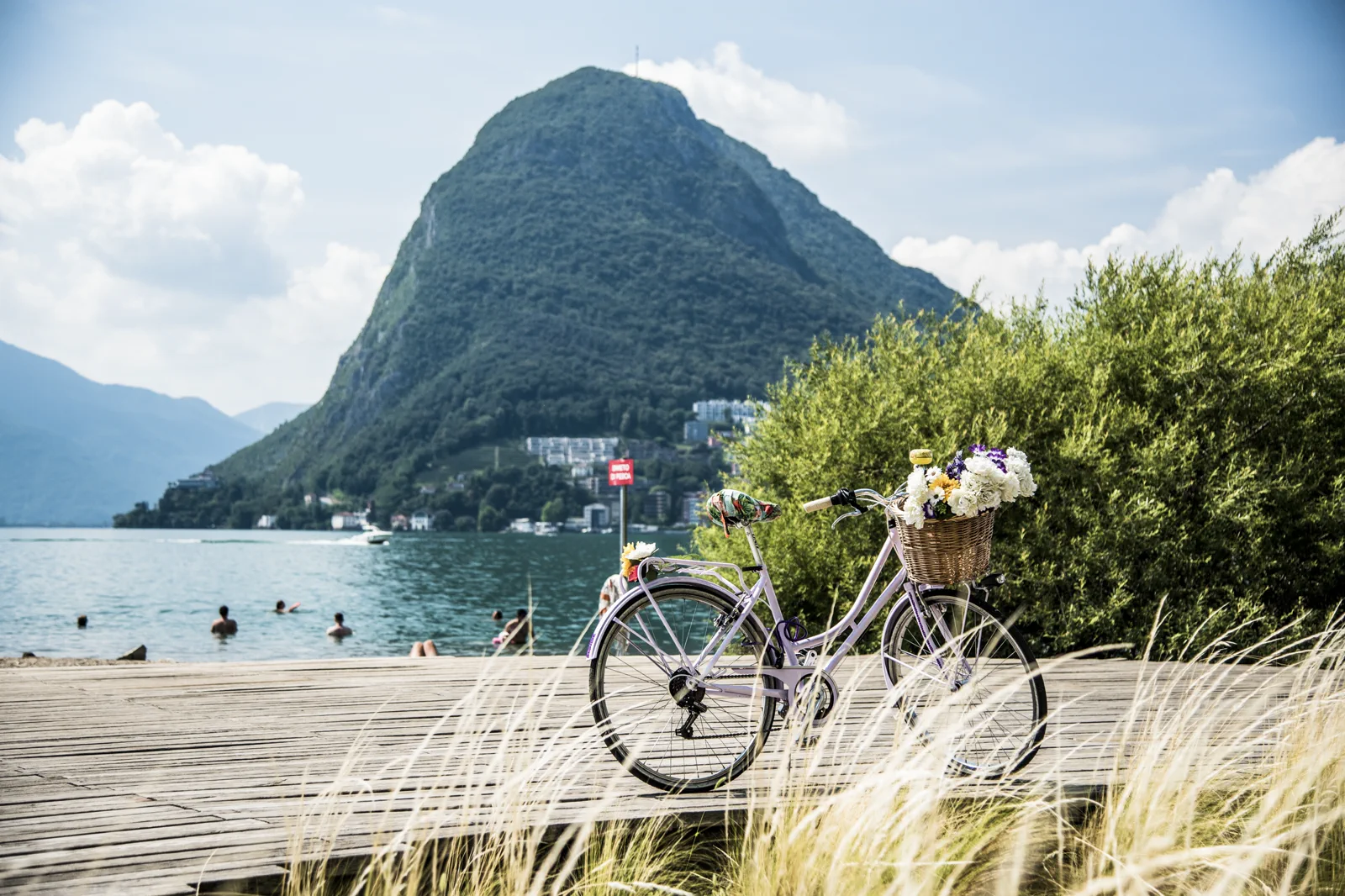
Summit-only
Fast elevation and return to Lugano; best in a short clear window.
Morcote-only
Village, church terraces and lake edge; lower weather risk.
Contrast day
Summit first, Morcote second using public transport.
Know where the day actually begins.
The funicular base is outside the old center but linked by local transit. Morcote sits farther along the lake and is reached by bus or seasonal boat; do not assume the summit and village share a simple downhill path for casual visitors.
What this route gives up.
The summit and village create excellent contrast: aerial geography followed by lakeside scale. The trade-off is connection time, so a full city-center block does not fit comfortably as well.
Fit this field guide into Lugano & Southern Ticino, not into an isolated checklist.
Lugano is compact around the lake but steep once the hills begin. Monte San Salvatore, Monte Brè and Monte Generoso are separate viewpoint systems with different access. The city works best when one elevation choice supports a lakeside day rather than becoming a checklist of summits.
Two or three nights suit Lugano and one mountain or village excursion. The station sits above the center, so the funicular/local transit relationship matters with luggage.
Regional trains connect Ticino quickly; local buses, funiculars and boats handle the lake and hills. Monte Generoso uses a different rail approach from Lugano’s immediate viewpoints.
Ticino often feels milder than the high Alps, but summer heat, storms and mountain maintenance still shape the day. Lake services and funicular patterns vary seasonally.
In rain, use Lugano’s arcades, museums and cafés or a regional rail town. Delay summit viewpoints until the lake and mountains are visible.
Arrive, orient, commit, then protect the return.
Check San Salvatore funicular status, local bus/boat schedules and weather. Long ridge hikes require separate official route checks.
- 01Arrive
Check the summit view
Do not pay for cloud unless the ride itself is the purpose.
- 02Orient
Ride and descend on schedule
Keep the funicular as one controlled block.
- 03Commit
Transfer to Morcote
Use bus/boat as the connector rather than inventing a mountain shortcut.
- 04Return
Return to Lugano directly
Finish with the simplest evening connection.
A useful day even when the postcard disappears.
If the summit is clouded, skip the funicular and use Morcote or Lugano lakefront. If boats are not useful, use the bus instead of forcing a scenic connection.
Check San Salvatore funicular status, local bus/boat schedules and weather. Long ridge hikes require separate official route checks.
Change the plan before the problem compounds.
Hiking-map temptation
The ridge looks continuous but can demand real mountain route planning.
Boat season
Use bus as the dependable fallback when navigation is sparse.
Village stairs
Morcote is steep beyond the waterfront; pace climbs accordingly.
Other ways to use Lugano & Southern Ticino.
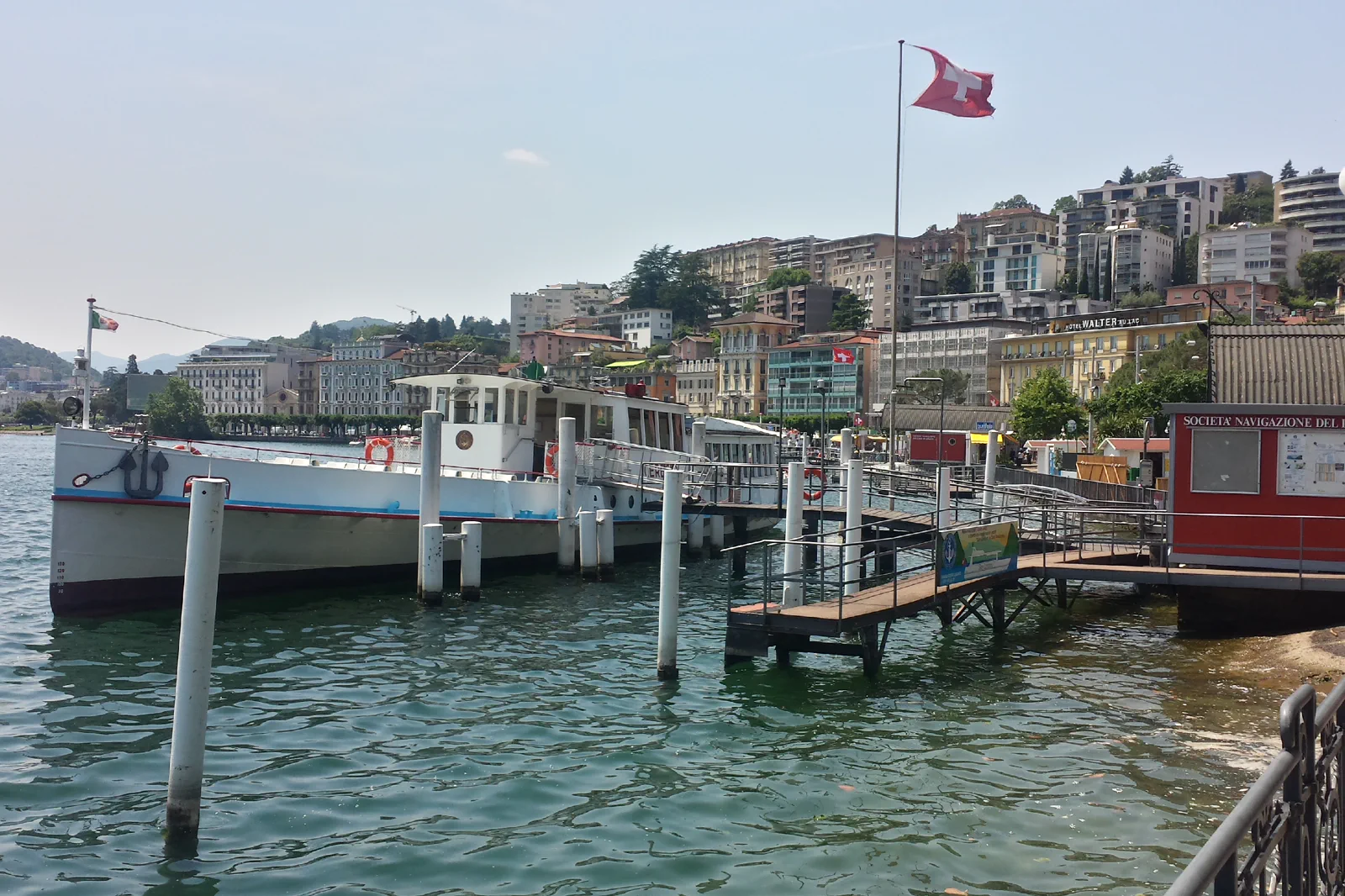
Lugano Center & Lakefront
Connect Lugano station, historic center, Parco Ciani and lakefront in one downhill city sequence, then use transit for…
Open this guide →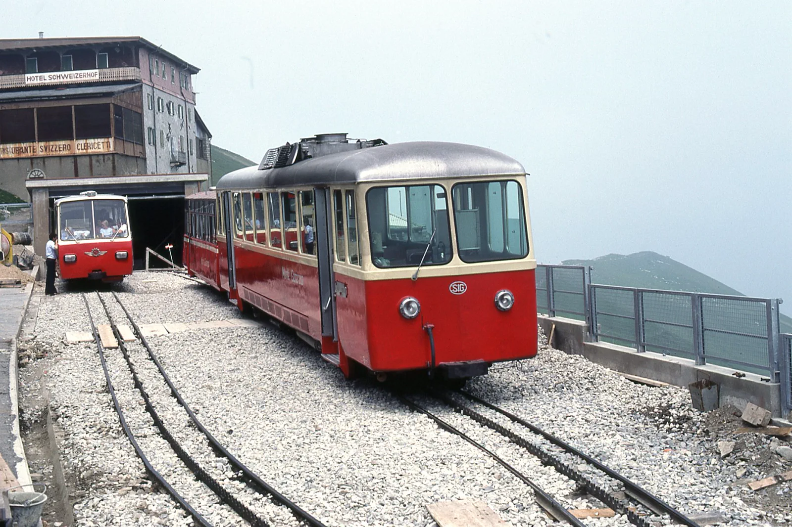
Mendrisiotto & Monte Generoso
Leave Lugano by regional rail for Mendrisiotto and Monte Generoso only when the mountain railway and weather align,…
Open this guide →Monte San Salvatore & Morcote FAQ
How much time should I give Monte San Salvatore & Morcote?
Most of a day for summit plus Morcote with relaxed transfers; half day for either one alone.
What should I combine with Monte San Salvatore & Morcote?
Pair with Lugano evening. Do not add Monte Brè or Generoso to the same day. Pair with a Lugano evening after returning from Morcote; keep Monte Brè or Monte Generoso for another day so the lake transfer remains a real village visit rather than a chain of viewpoints.
What should I verify before leaving?
Check San Salvatore funicular status, local bus/boat schedules and weather. Long ridge hikes require separate official route checks.
Official sources and photo credits
Planning facts and image licensing were reviewed on 12 September 2026. Lift, boat, trail, weather and transport conditions can change quickly; verify the linked operator or authority before travel.
- Lugano Region.
- Ticino Turismo.
- Monte Generoso Railway.
- SBB rail planning.
- Lakefront Lugano 2017-05-29 13.15.22.jpg — Chris j wood, CC BY-SA 4.0. Resized, display-cropped and converted to WebP; no other material edits.
- Monte San Salvatore in Lugano.jpg — Jean Schmitt, CC BY-SA 4.0. Resized, display-cropped and converted to WebP; no other material edits.
- Trains du Monte Généroso (Suisse).jpg — trams aux fils., CC BY 2.0. Resized, display-cropped and converted to WebP; no other material edits.