Zurich & Lake Zurich
Use Zurich as a compact rail base, then decide whether the day belongs to the old city, the lake or the western districts.
Zurich works because the main station, old town, lakefront and dense tram network compress a large-city itinerary into short moves. The mistake is treating every district as one continuous walk: choose one city layer, protect the lake weather window, and leave Uetliberg or the western industrial quarter as a deliberate contrast rather than an afterthought.
Two or three nights suit a first visit. Sleep near Zürich HB for early intercity departures, around the old town for evening walks, or near Enge and Wiedikon if lake access matters more than being beside the main station.
Zürich HB is the national rail anchor; trams and S-Bahn handle almost every city move. Airport rail is frequent, while Uetliberg uses the local S-Bahn. Save the exact stop because similar district names can sit on different tram and rail corridors.
The city is useful year-round. Summer makes lake swimming and boats valuable; winter shortens outdoor time but strengthens museum and café plans. Fog can erase the Uetliberg view even when the city below is dry.
Do not make every rail line, lake and summit compete for the same day.
Each guide below has its own access contract, choice set, four-stage route, fallback and current-source check.
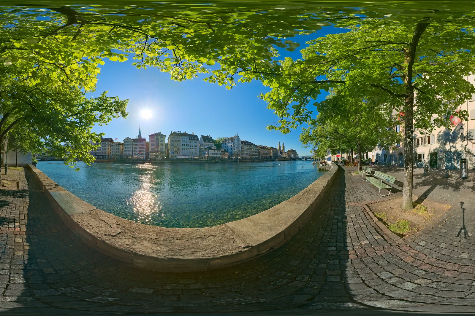
Old Town, Lindenhof & the Limmat
Read central Zurich from the station to both banks of the Limmat, using Lindenhof, Bahnhofstrasse, Niederdorf and the Grossmünster side as one connected but selective first-day route.
Open the field guide →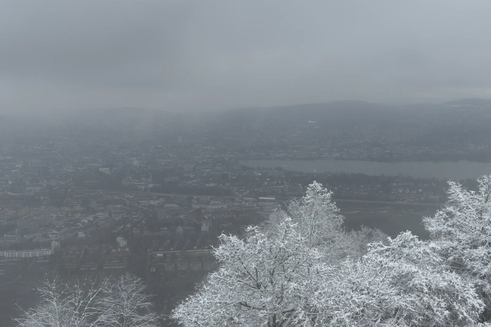
Lake Zurich & Uetliberg
Choose between the lake and Zurich’s local ridge according to visibility, then connect Bellevue, the lakeside parks and Uetliberg without pretending both need a full day.
Open the field guide →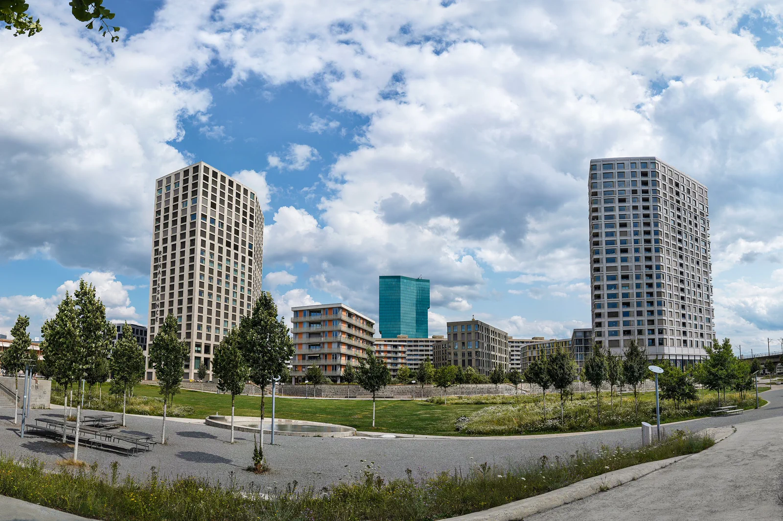
Zurich West & Museum Quarter
Use Zurich West to see the city beyond the postcard core: converted rail arches, design and food spaces, contemporary neighborhoods and a museum choice that earns its own block.
Open the field guide →Three different reasons to leave the hotel.
Old Town, Lindenhof & the Limmat
This route gives architectural context, river views and a strong evening finish without transport complexity. It sacrifices the lake’s outer shore and contemporary west Zurich, so it suits an arrival day or a traveler who wants a compact historical core before wider day trips.
Allow four to six hours for a deliberate first pass; add a museum only if you are willing to drop part of Bahnhofstrasse or Niederdorf rather than stacking everything into one block.02Lake Zurich & Uetliberg
The lake gives low-effort open space and boat options; Uetliberg gives a city-and-Alps overview when visibility cooperates. Combining both creates contrast but reduces time for swimming, a longer boat ride or a proper ridge walk.
A lakefront half day takes three to four hours; Uetliberg adds roughly another half day once rail, walking and viewpoint time are included. Give the ridge priority only when the forecast supports it.03Zurich West & Museum Quarter
This route is stronger for architecture, design and lived-in city texture than for classic landmarks. It rewards repeat visitors or travelers with an extra afternoon; first-time visitors with only one day should keep the old town and lake ahead of it.
Give the district three to five hours depending on whether a museum or long meal is central. The useful unit is one cultural stop plus a neighborhood circuit, not every gallery and market hall.Zurich & Lake Zurich FAQ
How long should I give Zurich & Lake Zurich?
Two or three nights suit a first visit. Sleep near Zürich HB for early intercity departures, around the old town for evening walks, or near Enge and Wiedikon if lake access matters more than being beside the main station.
What transport decision matters most around Zurich & Lake Zurich?
Zürich HB is the national rail anchor; trams and S-Bahn handle almost every city move. Airport rail is frequent, while Uetliberg uses the local S-Bahn. Save the exact stop because similar district names can sit on different tram and rail corridors.
What should I do if mountain, lake or weather conditions change?
If the lake or ridge disappears into rain or low cloud, compress the day around the Kunsthaus, Swiss National Museum, covered old-town lanes and tram-connected neighborhoods instead of chasing a viewpoint.
Official sources and photo credits
Planning facts and image licensing were reviewed on 12 September 2026. Recheck transport, trail, lift, boat, weather and attraction status before travel.
- Zurich Tourism.
- ZVV public transport.
- SBB rail planning.
- City of Zurich — tourism information.
- Zürich Limmat panosphere 20220614.jpg — Daniel Kraft, CC BY-SA 3.0. Resized, display-cropped and converted to WebP; no other material edits.
- Snowy panorama of Zurich from Uetliberg 2026.JPG — Mike is Michi, CC BY-SA 4.0. Resized, display-cropped and converted to WebP; no other material edits.
- Mobimo Tower. Zölly Wohnhochhaus. Zürich West.jpg — Photones, CC BY-SA 4.0. Resized, display-cropped and converted to WebP; no other material edits.