Bangkok follow river, rail & time
The city is not one center and one traffic problem. Sacred old-city thresholds, Chinese trading lanes, elevated retail corridors, business parks and canal communities each need a different arrival, hour and walking rule.
Bangkok planning systems
Think in systems
Every day needs a dominant network and a compact walking field.
Elevated corridors
Strong for Siam, Sukhumvit, Ari and Silom connections. Check the official route and fare tool.
Old city + inner ring
Blue Line access changes Chinatown, Sanam Chai, Silom and Chatuchak planning.
North–south spine
Useful for selected old-city and Sathorn links; service and piers vary by line and time.
Pick the district before the attraction
Each guide answers a different planning question and uses a different visual language so the city does not collapse into repeated attraction cards.
Rattanakosin & Grand Palace
Sequence royal, temple and river thresholds with dress, admission and midday heat in view.
Enter the old city →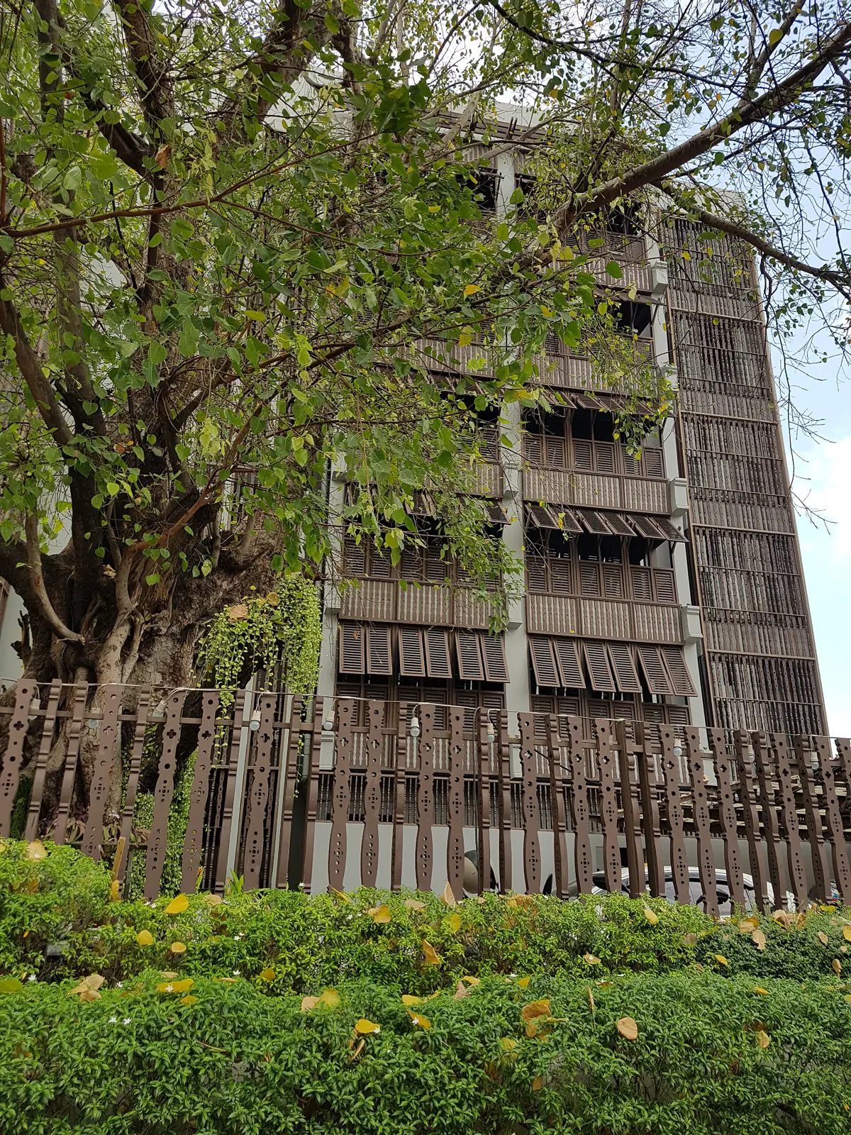
Banglamphu & Phra Athit
Balance fort, river, local streets and the very different volume around Khao San.
Open the walking zine →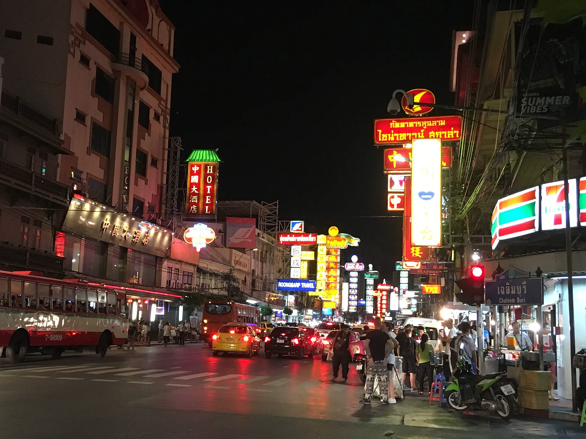
Yaowarat & Talat Noi
Walk heritage lanes in daylight, then reset for a food street that works by appetite and queue.
Read the two-speed district →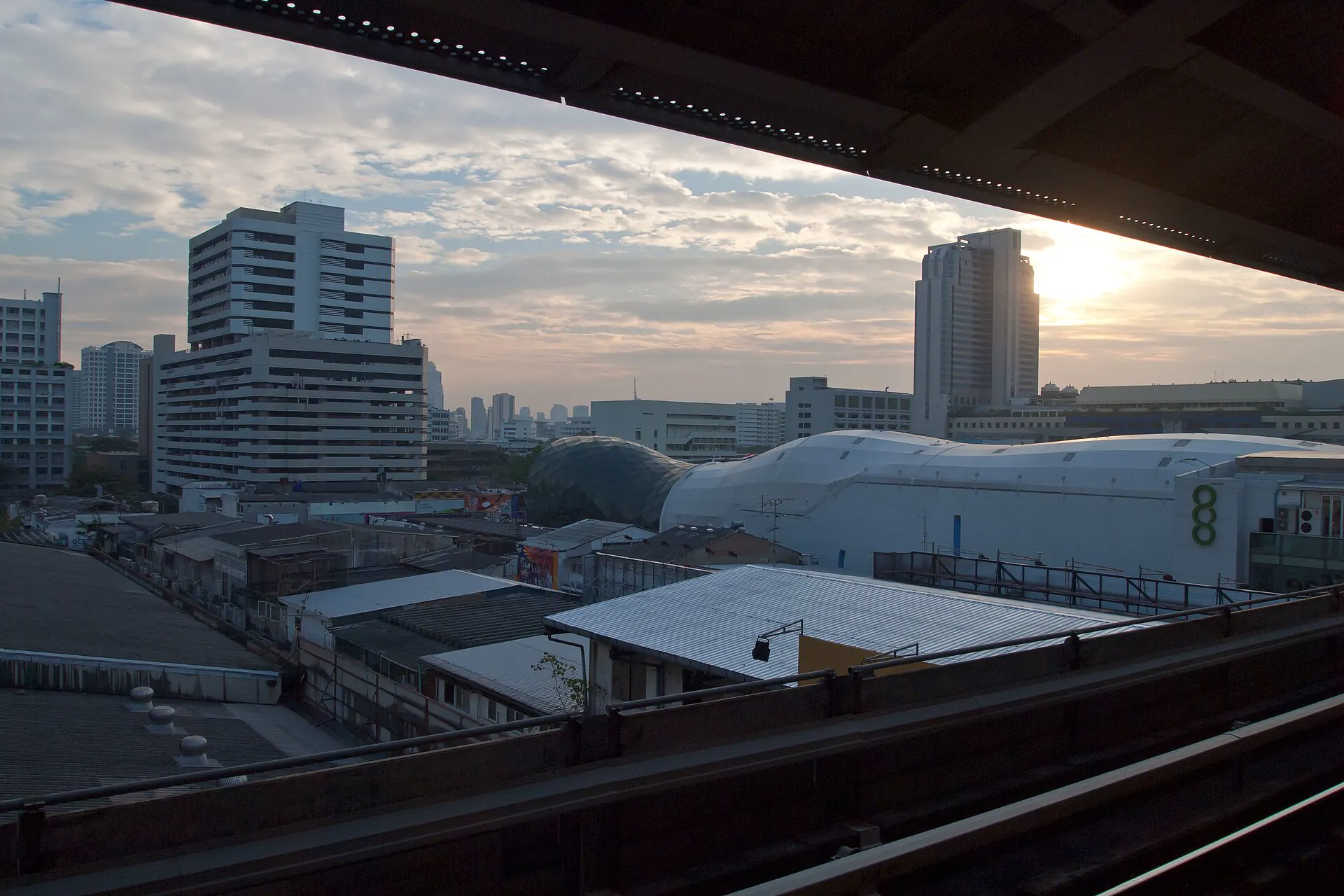
Siam & Ratchaprasong
A rail-and-skywalk district for design, shopping, culture and resilient rainy days.
Open the interchange →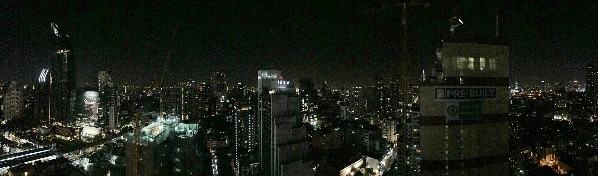
Sukhumvit & Thong Lo
Choose one station corridor, understand late-night distance and price the hotel by the final walk.
Ride the night corridor →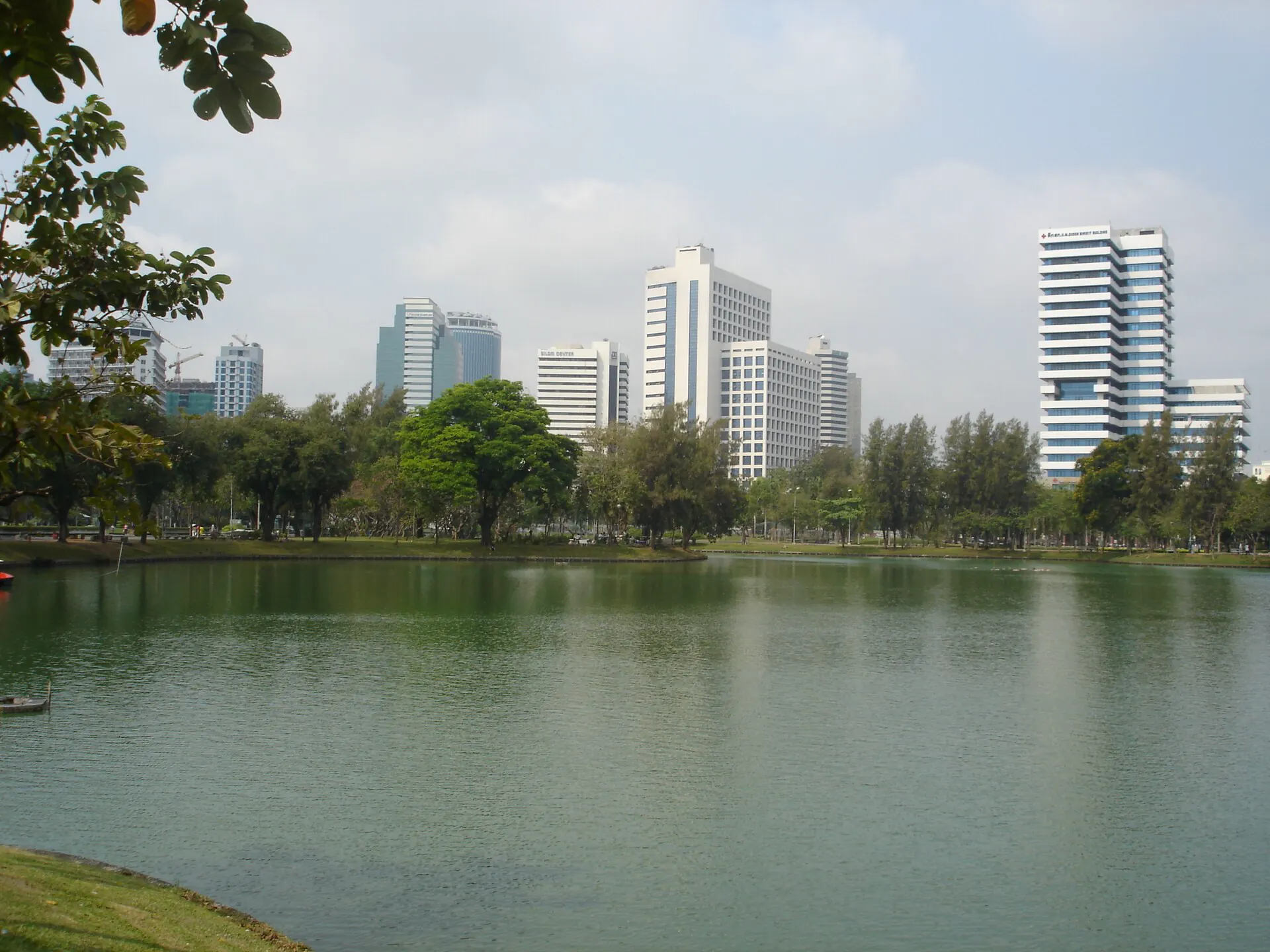
Silom & Sathorn
Park morning, business-day food, layered heritage and a nightlife map that changes after dark.
Compare both shifts →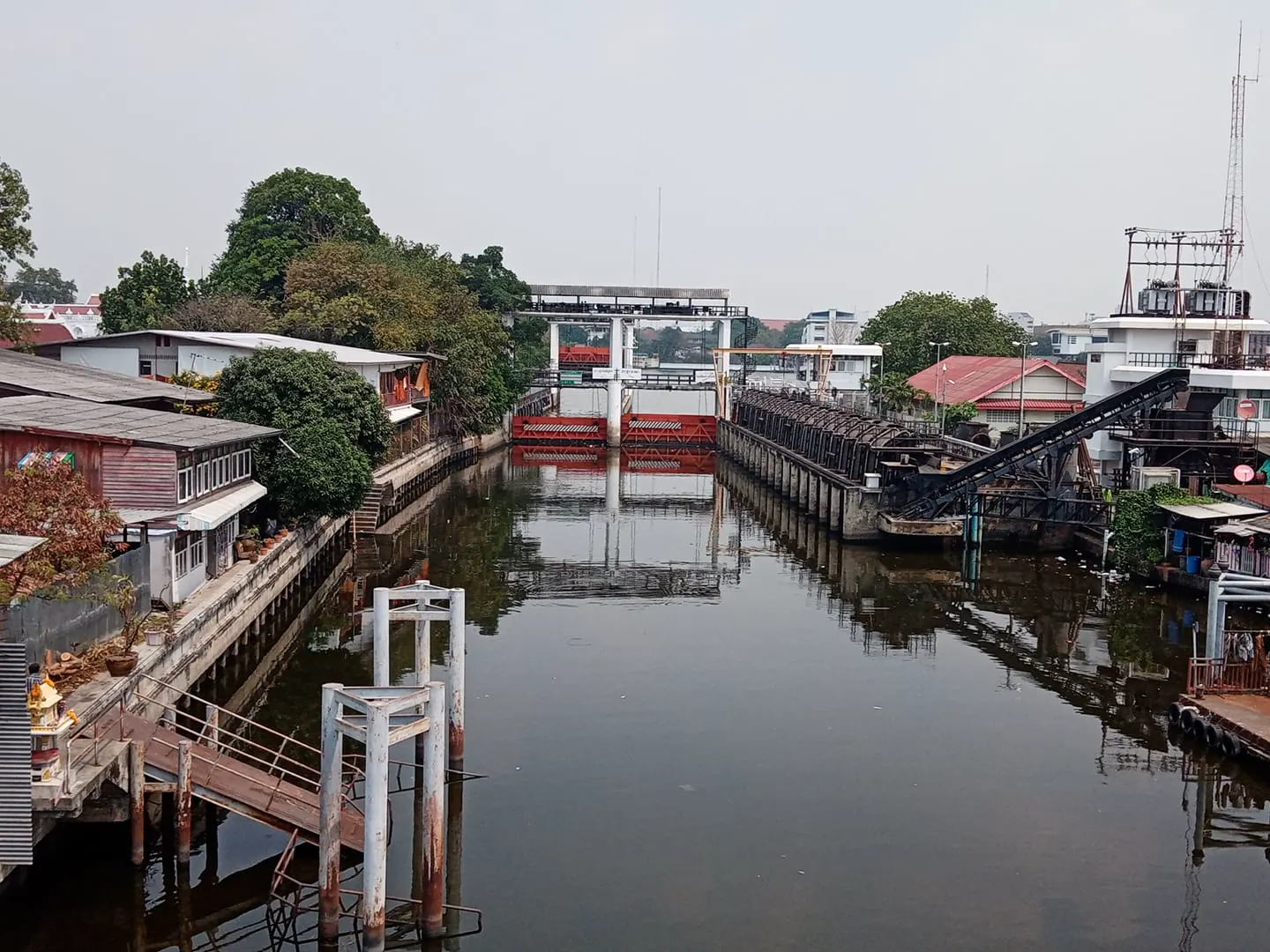
Thonburi & Khlong Bang Luang
Use rail for the anchor, then slow down for canals, communities and a west-bank perspective.
Follow the waterline →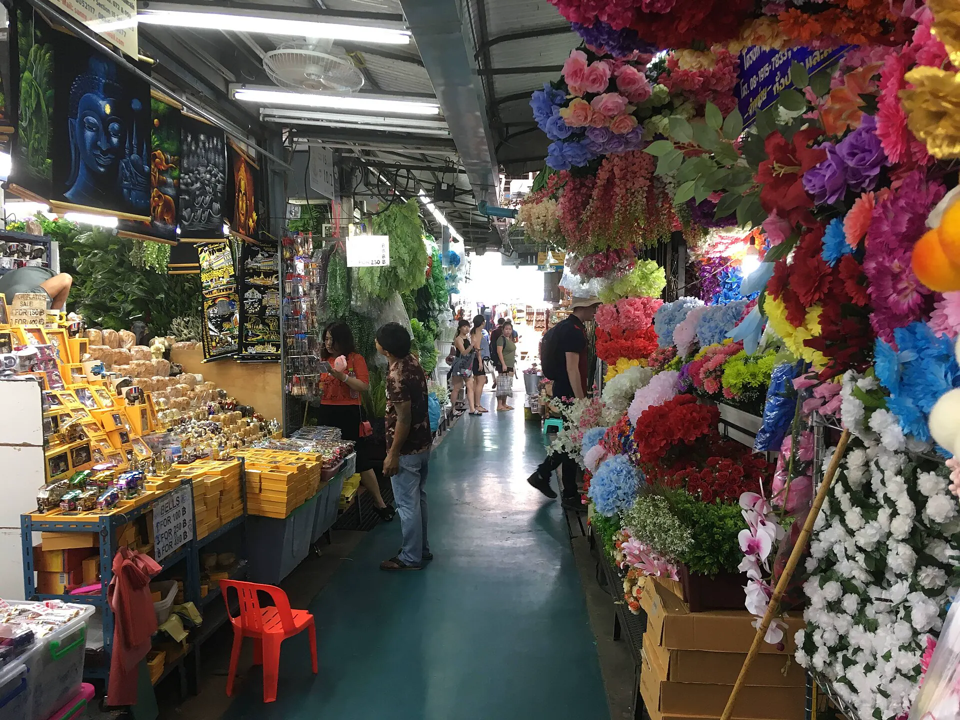
Chatuchak & Ari
Give the market an early, tactical window; use Ari as the shaded neighborhood counterpoint.
Set the weekend clock →The river connects chapters—not every hour
Boat routes and pier calls change. Use the current operator map, know the pier code and keep a land fallback instead of treating every boat as interchangeable.
Phra Athit
A river gate for Banglamphu when the current service fits. The final walk is part of the choice.
Old-city piers
Tha Chang, Tha Tien and nearby stops serve different landmarks. Confirm the active pier and boat flag.
Ratchawong
A useful approach for Yaowarat from the river, but not a substitute for MRT Wat Mangkon in every itinerary.
Sathorn / Central Pier
The strongest river-to-BTS interchange for Silom, Sathorn and onward elevated rail.
Choose the evening return first
A hotel near a famous landmark can still be awkward after dinner. Test the station exit, crossing, sidewalk, late-night route and airport transfer.
Siam / Ratchathewi
Central BTS access and broad indoor options. Prices, crowds and a polished mall-led atmosphere are the trade-offs.
Lower Sukhumvit
BTS plus selected MRT access, wide dining and nightlife. Exact soi distance matters more than the neighborhood label.
Silom / Sathorn
BTS, MRT and Sathorn Pier can work together. Business-week rhythm and nightlife vary block by block.
Old city / Banglamphu
Strong early access and street character, with less seamless elevated-rail coverage and major differences in nighttime noise.
Match the airport code to the base
Suvarnabhumi and Don Mueang are not interchangeable labels. Check the exact terminal, arrival hour and complete city transfer before choosing the cheapest fare.
Suvarnabhumi · BKK
The official airport lists Airport Rail Link access from Level B1, alongside regulated taxi and other transport. Rail can be strong for Phaya Thai or Makkasan connections; luggage, operating hours and the final interchange still decide.
- Keep the hotel name and address offline.
- Use the official taxi queue or clearly identified service.
- Do not plan a tight separate-ticket airport change.
Don Mueang · DMK
Useful for many regional and low-cost services. Its rail and road options differ from BKK, and an airport-to-airport connection crosses the city.
- Confirm which Bangkok airport appears on every segment.
- Allow immigration, bags, traffic and check-in—not only drive time.
- The inter-airport shuttle has eligibility rules; verify them.
Do not cross the city twice for a saved pin
This sequence uses different transport strengths and gives the old city, food streets and modern corridors room to change with the hour.
Old city + river
Start early at one royal or temple anchor, add Wat Pho or a museum, then cross or follow the river only if energy and service align.
Talat Noi → Yaowarat
Use daylight for heritage lanes and small museums; pause before the food street’s evening phase.
Siam + one corridor
Combine culture or design with Siam, then continue east to Sukhumvit or south to Silom—not both.
Canal, park or market
Pick Thonburi for slow water, Lumphini and Sathorn for two shifts, or Chatuchak and Ari when the weekend supports it.
Bangkok planning FAQ
How many days do you need in Bangkok?
Four full days is a useful first stay. Three days works when you prioritize the old city, Chinatown and one modern corridor; a fifth day gives the river, canal, park or weekend market enough space.
Where should a first-time visitor stay?
Siam, lower Sukhumvit and Silom are versatile because they connect to strong rail corridors and useful evenings. Old-city or Banglamphu lodging fits a heritage-led trip, but check noise and the exact rail or pier connection. Always test the final walk on a map.
Can one card pay for every Bangkok train and boat?
Do not assume so. BTS, MRT, Airport Rail Link and boat operators have different products and acceptance rules. Contactless payment is expanding on parts of the network, but use each official operator for current conditions.
Is Bangkok safe to explore on foot?
District walks can be excellent, but use marked crossings, expect uneven or blocked sidewalks, protect against heat and rain, and keep the late-night return plan separate from the daytime route. For licensed taxis, use an official queue or reputable app and confirm the destination.
Zoom out before the next transfer
Official sources and photo credits
Planning facts were reviewed on 26 August 2026. Recheck fares, routes, pier calls, admission, closures and weather with the linked operator. Images were converted to WebP; layout framing may crop the visible display.
- Tourism Authority of Thailand — Bangkok overview.
- Bangkok Metropolitan Administration Tourism Division.
- BTS Skytrain — routes, fares and timetables.
- BEM — MRT routes, fares and service information.
- Chao Phraya Express Boat — current routes and schedule.
- Airports of Thailand — Suvarnabhumi transport.
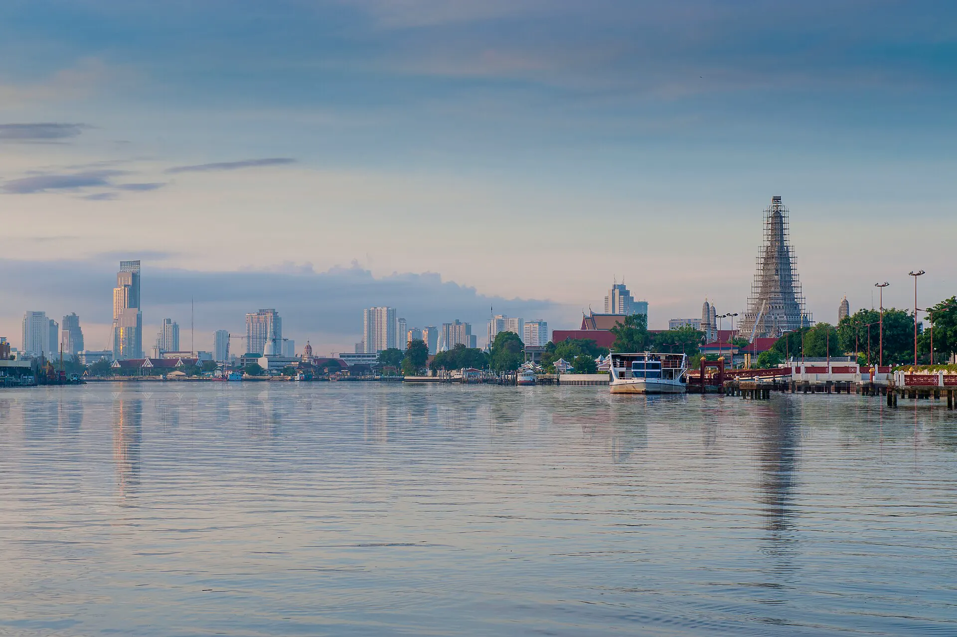
- Wat Arun across the river — Preecha.MJ, CC BY-SA 4.0.
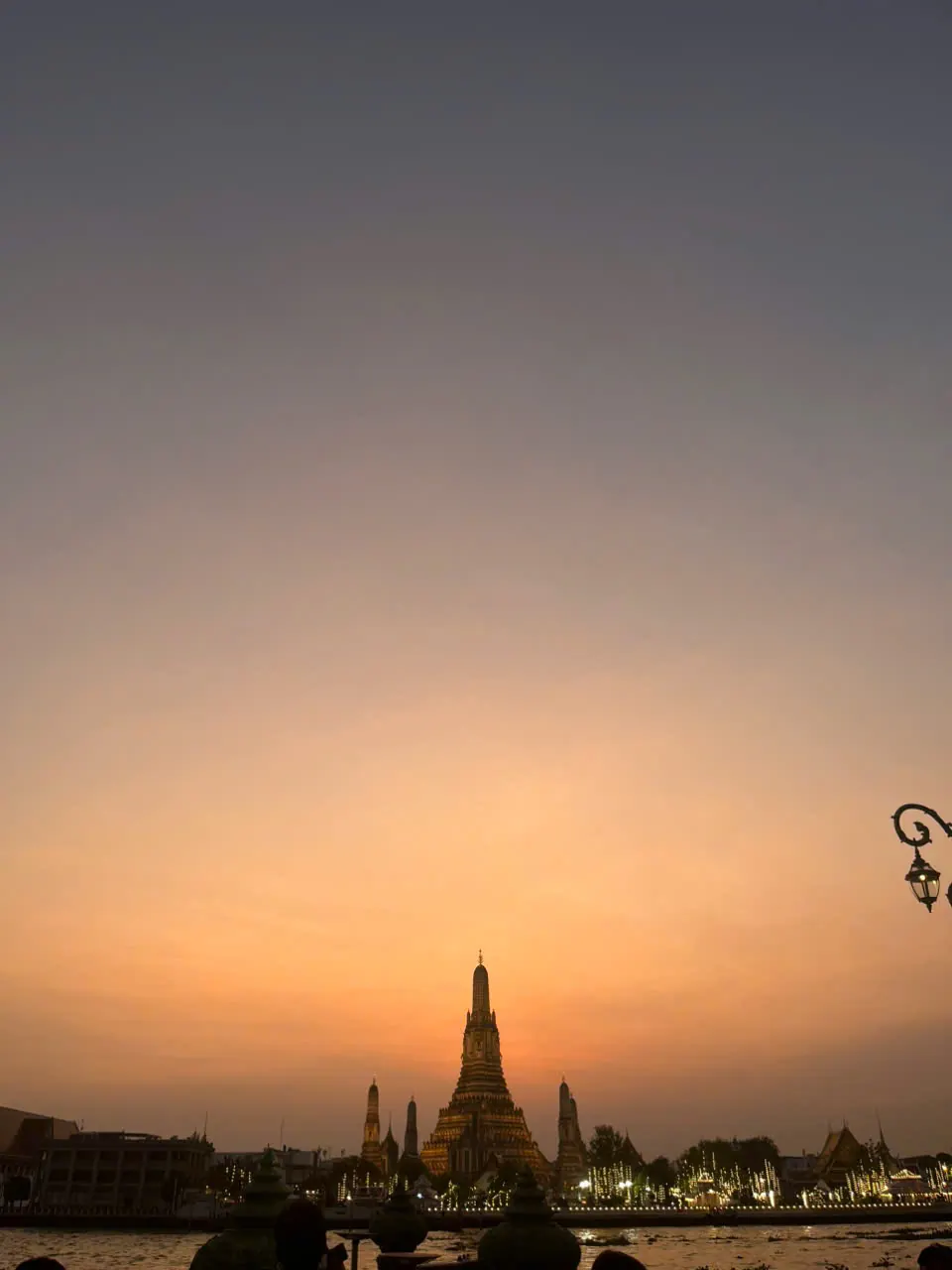
- Wat Arun at sunset — VN.NguyenDucDuy, CC BY-SA 4.0.
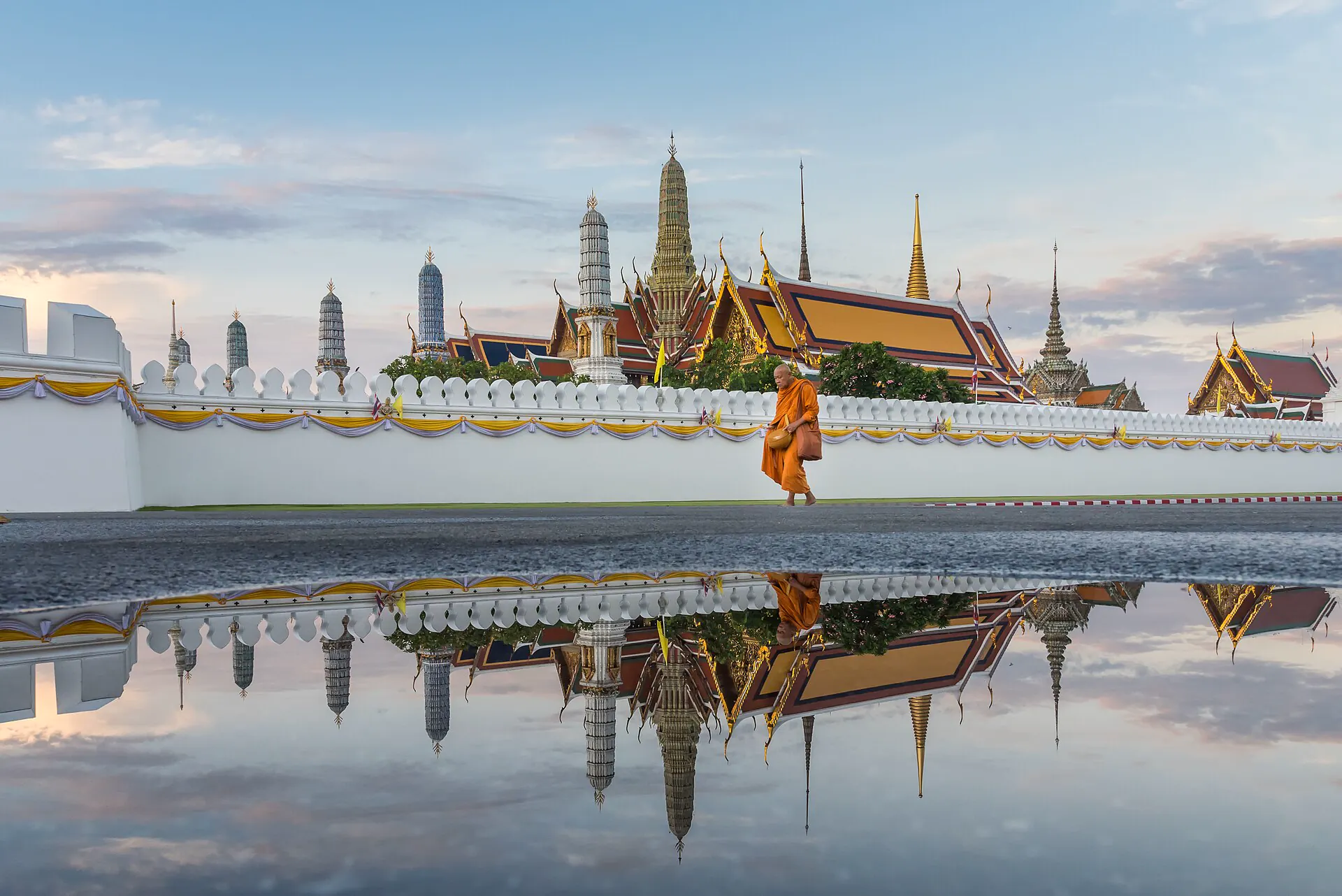
- Temple of the Emerald Buddha complex — Nawit science, CC BY-SA 4.0.
- Phra Athit Road — Iudexvivorum, CC0.
- Yaowarat Road at night — Christophe95, CC BY-SA 4.0.
- Siam skyline at sunset — Vyacheslav Argenberg, CC BY 4.0.
- Sukhumvit night panorama — Slyronit, CC BY-SA 4.0.
- Lumphini Park — Adestro, public domain.
- Khlong Bangkok Yai — Phoebus 28, CC BY-SA 4.0.
- Chatuchak Weekend Market — Christophe95, CC BY-SA 4.0.