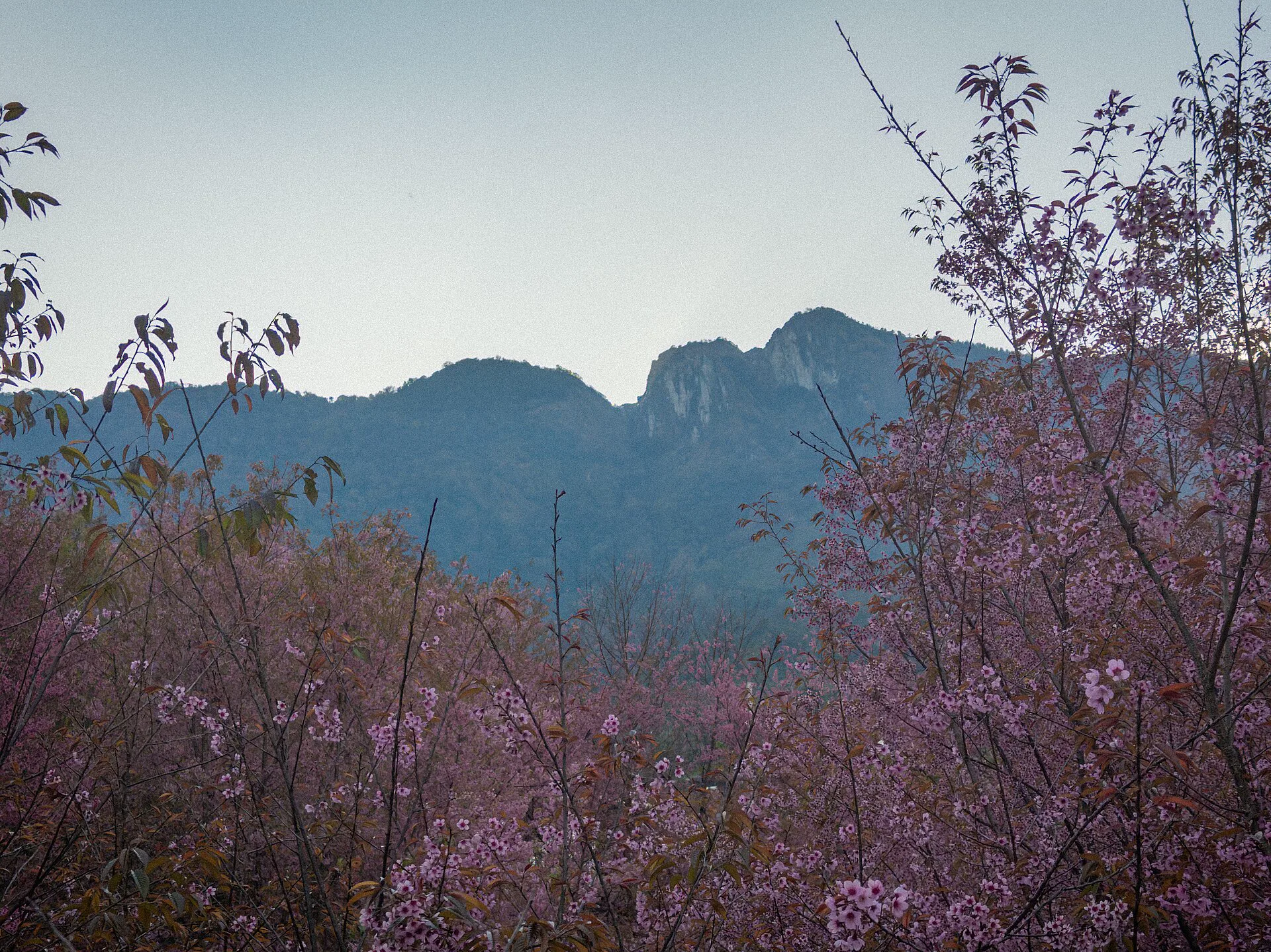
Doi Inthanon operated by conditions
The summit is not the whole park, and the park is not one climate. City heat, lower forest, waterfalls, cloud forest and exposed high points can occupy the same day. Let official access and weather remove stops before the road removes your margin.
Four signals operate the route
Check the Department of National Parks and official weather information close to departure. These signals decide whether the day runs, shrinks or moves.
Park notices
Confirm current entry, roads, trail closures, guide requirements and any seasonal restrictions. A saved map is not permission.
Rain and cloud
Low cloud may erase views; rain changes road grip and trail surface. Shift from ridge to lower forest only when officially accessible.
Smoke and exertion
Check official air data as well as visibility. Do not use altitude as proof that strenuous walking is safe.
Road margin
Count the long approach, internal driving, stops and descent. Remove a stop before sacrificing a safe return.
Pack and pace for the transitions
Lower road and waterfall
Warmer conditions and powerful water can still create slippery surfaces. Use marked access, barriers and current park guidance.
Mid-mountain forest
Temperature and cloud can change quickly. Keep layers accessible rather than buried under luggage in the vehicle.
Summit and high trail
Cooler, wetter or windier conditions require deliberate clothing. Viewpoints and trails can close or become poor value without warning.
Use a vehicle plan, not a pin list
The drive from Chiang Mai and movement inside the park consume much of the day. A suitable vehicle and mountain-capable driver matter more than fitting every named stop.
- Confirm licence, insurance and vehicle suitability.
- Agree on pickup, waiting, stops and return time.
- Carry offline route and emergency information.
Keep the route reversible
Start with the most condition-sensitive element only when official access supports it. A lower-elevation nature day can replace a summit chase, but never improvise onto closed roads or trails.
- Follow ranger and barrier instructions.
- Do not pressure a driver in poor visibility.
- Descend before weather and darkness combine.
Hike only when all are true
- The trail is officially open and requirements are met.
- Weather, air and daylight support the route.
- Footwear, layers, water and ability are appropriate.
- The vehicle and return schedule leave real margin.
Choose a non-hiking day when…
- Rain, cloud, smoke or closure reduces safety.
- A guide requirement cannot be met.
- Anyone lacks the footwear or mobility.
- Road time already consumes the attention budget.
Remove before you rush
The exact order changes with official notices and forecast. This is a decision sequence, not a promise that every component will operate.
Park and forecast
Confirm access, trail rules, vehicle, layers and air quality before leaving Chiang Mai.
Fragile high point
Use the summit or eligible trail first only when visibility, access and road conditions make it worthwhile.
Forest and meal
Descend through one selected nature chapter, keeping wet surfaces and changing weather in view.
One waterfall or return
Add a lower stop only when daylight and energy remain; otherwise begin the long road back.
Doi Inthanon FAQ
Is Doi Inthanon a day trip?
Yes, but it is a long vehicle-based park day. Start early, select a small number of compatible stops and protect the descent. The summit, trails and waterfalls are not one walkable cluster.
Do I need a car or driver?
A suitable rental, hired driver or verified tour is generally required for a practical day. Driver experience, legal documents, vehicle condition, weather policy and waiting terms must fit mountain use.
How cold is the summit?
It can be much cooler, wetter and windier than Chiang Mai city, while lower stops remain warm. Check the official forecast and carry layers plus rain protection instead of relying on averages.
Can I hike?
Only on trails currently open under park rules and any guide requirements. Weather, air, daylight, footwear and ability must all fit; a non-hiking park day is often the correct decision.
Choose sacred ascent, village scale or city recovery
Official sources and photo credit
Reviewed 26 August 2026. Park admission, roads, trails, guide requirements, forecasts and air quality change. Image was resized and converted to WebP; visible framing may crop the display.
- Department of National Parks — Doi Inthanon National Park portal.
- Tourism Authority of Thailand — Doi Inthanon mountain context.
- Thai Meteorological Department — official forecasts and warnings.
- Pollution Control Department — Air4Thai.
- Doi Inthanon ridge and wild Himalayan cherry blossoms — Nnthurber, CC BY-SA 4.0; resized and converted to WebP, display crop.