Chiang Mai valley before checklist
Chiang Mai is a compact old capital inside a much larger province. Temple mornings, contemporary west-side streets, the Ping River and highland routes operate on different clocks. Start with the valley; let altitude, air and return transport decide what belongs together.
chaptersCITY / RIVER / MOUNTAIN
Four decisions shape the whole stay
Chiang Mai becomes easier when city walking, air quality, mountain access and a realistic final ride are settled before individual attractions.
Choose a daily radius
Old City, Nimman and the river edge solve different mornings and nights. Select the base that removes the most repeated road journeys.
Read the actual day
Use official air-quality data close to travel. Flexible indoor chapters are more useful than pretending a seasonal label predicts every hour.
Secure the return
Doi Suthep, Mae Rim, Mae Kampong and Doi Inthanon are not extensions of a casual downtown walk. Match vehicle, daylight and weather.
Pick the map that matches the day
Each guide answers a different problem: sacred-space pacing, hotel-base fit, elevation, market context, river scale, ethical attraction choices, village capacity or summit weather.
Old City & Moat
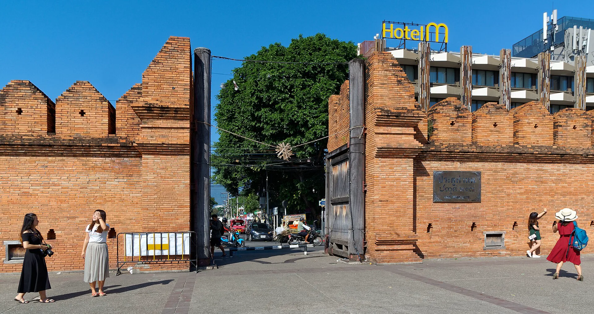
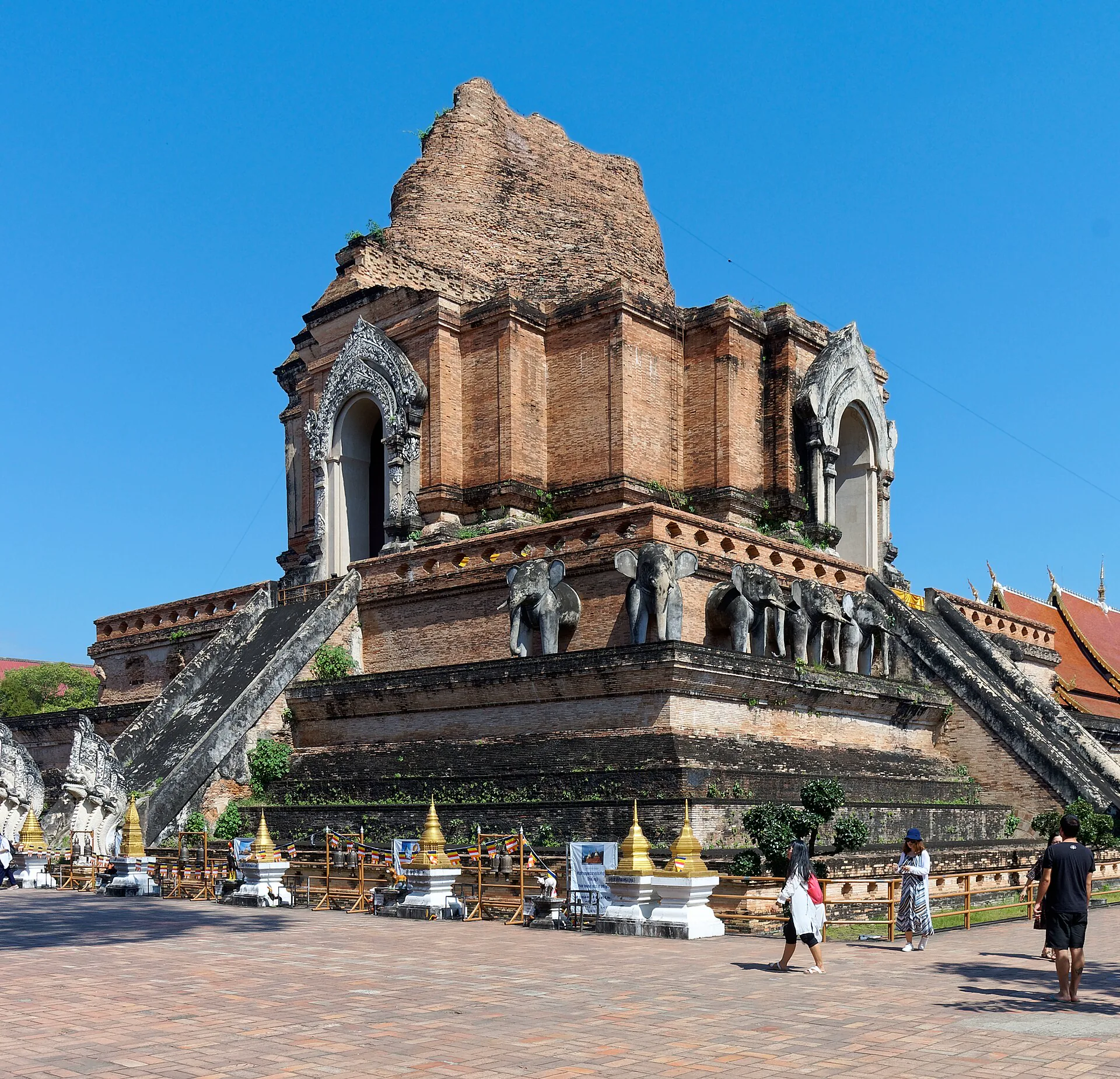
Temple attention, four gates, heat breaks and a walk that does not confuse density with depth.
Open the square →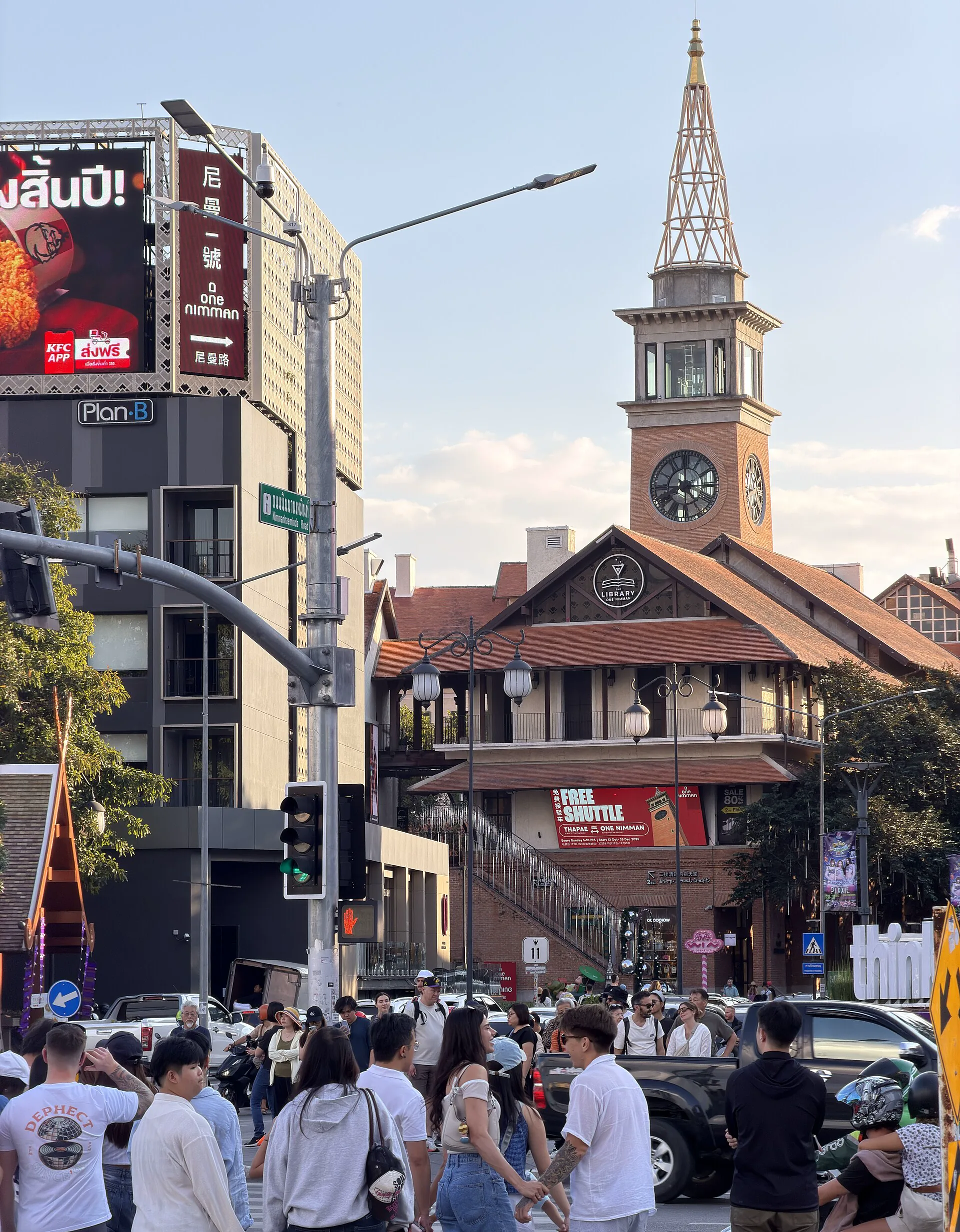
Nimman & University
Airport-near convenience, connected sois, creative businesses and the traffic cost behind the polished base.
Compare the west side →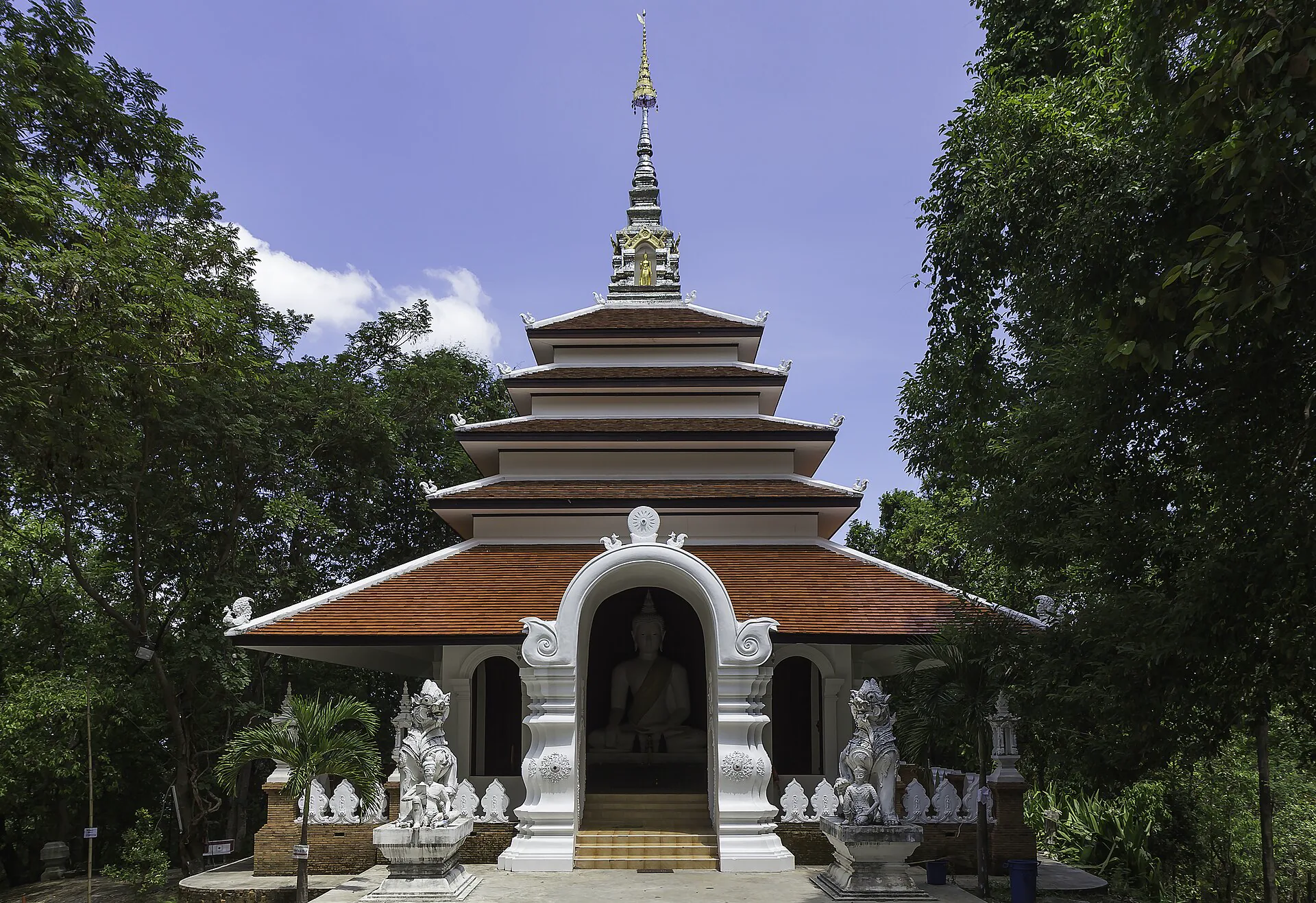
Doi Suthep & Wat Pha Lat
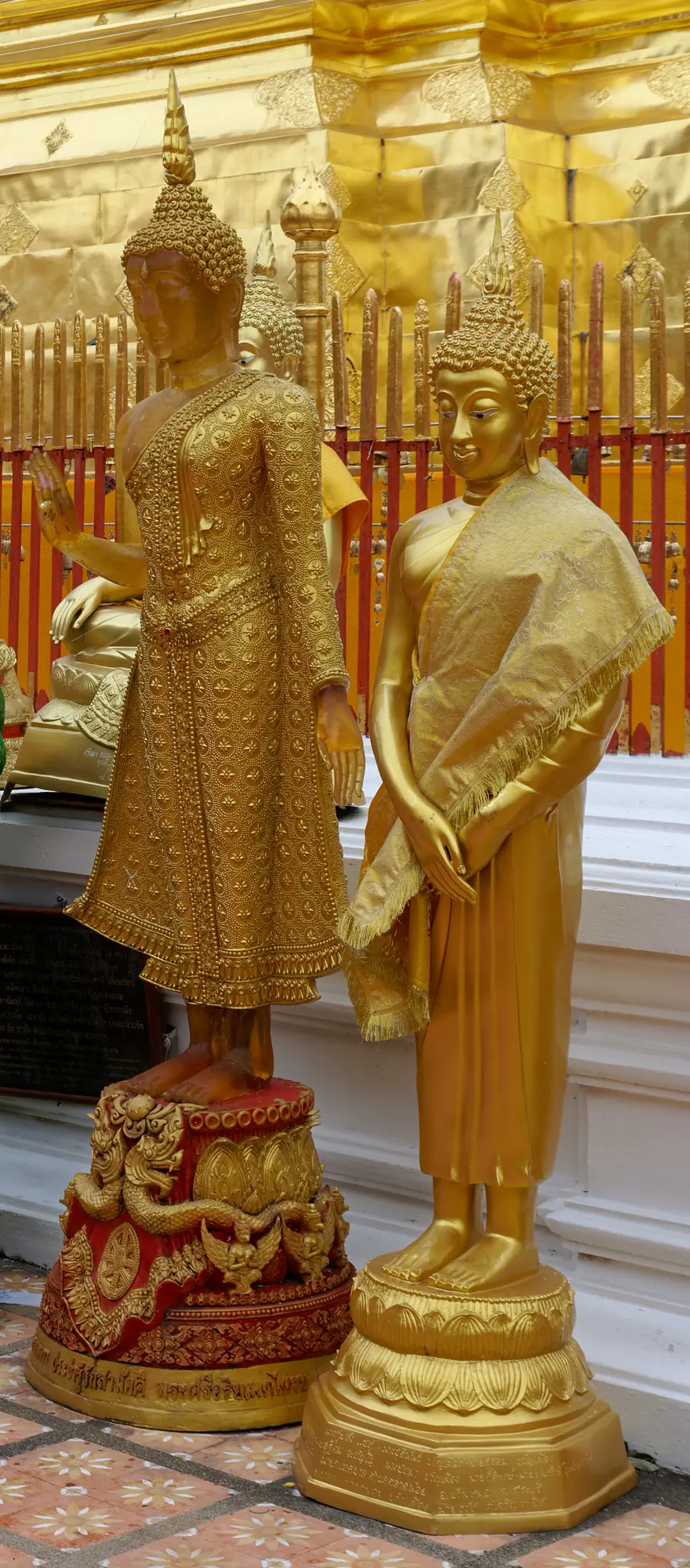
A sacred mountain sequence governed by road safety, weather and temple conduct.
Plan the ascent →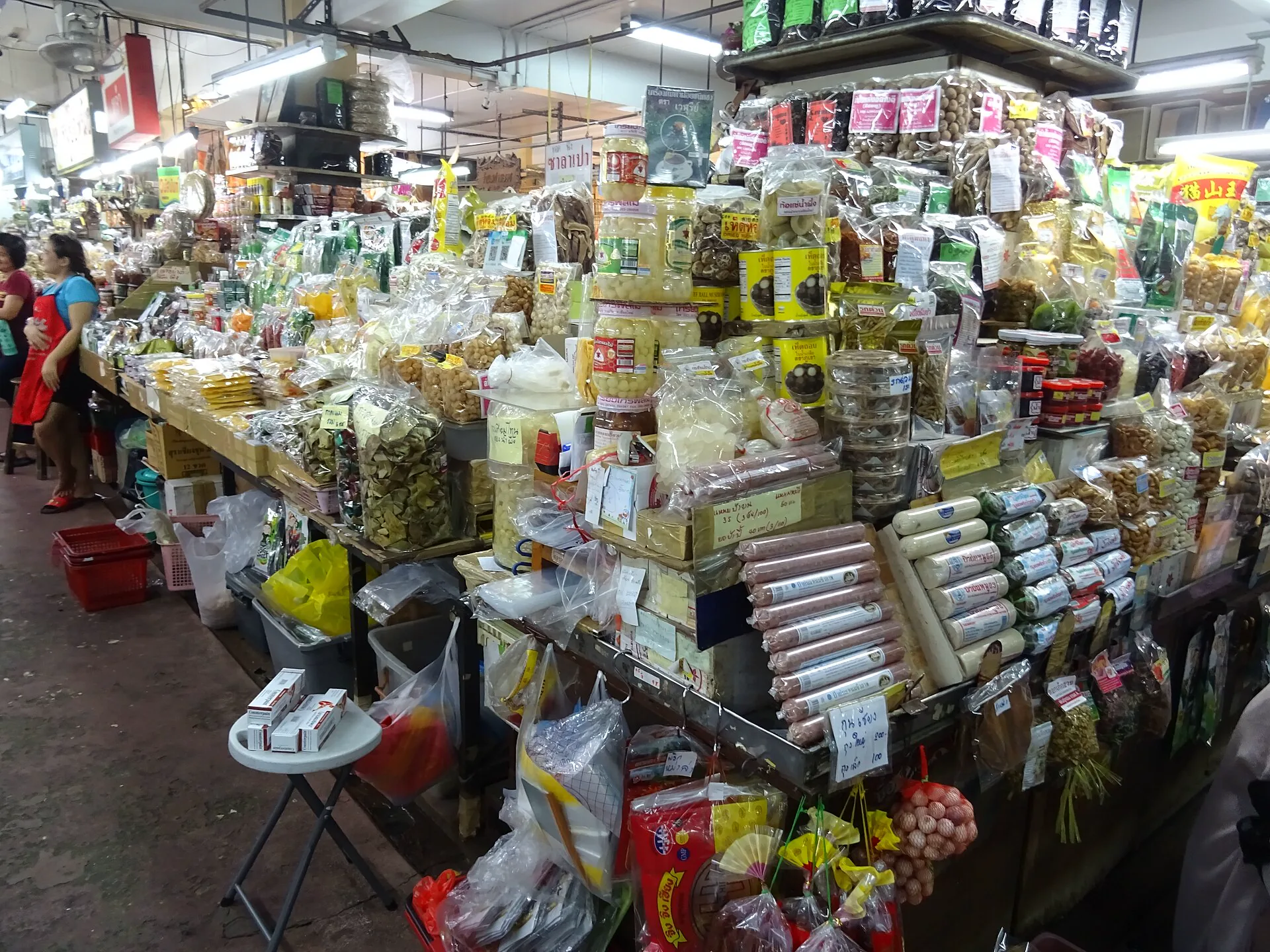
Chang Moi & Warorot
Old trading streets, Kad Luang, food decisions and a useful walking bridge between moat and river.
Read the market →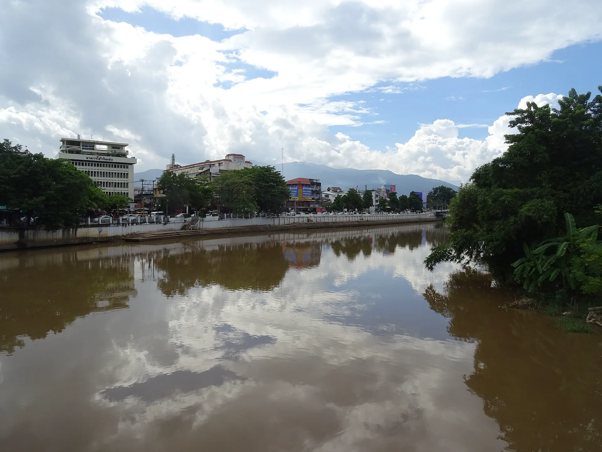
Wat Ket & Ping River
East-bank neighborhood scale, bridges, river light and a slower alternative to the Night Bazaar axis.
Cross the river →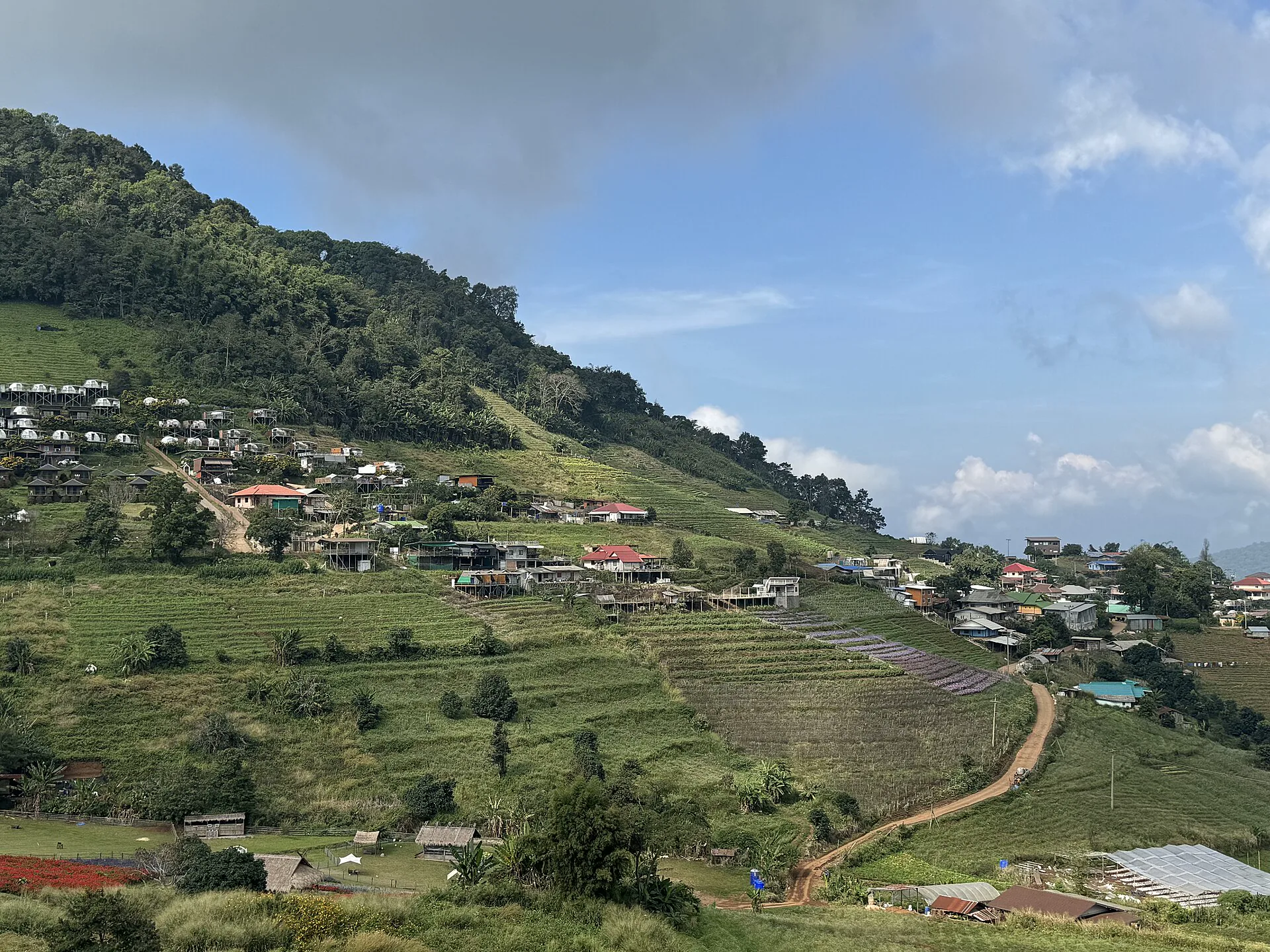
Mae Rim & Mae Sa
Botanical, valley and activity choices filtered by distance, animal welfare and road logic.
Filter the valley →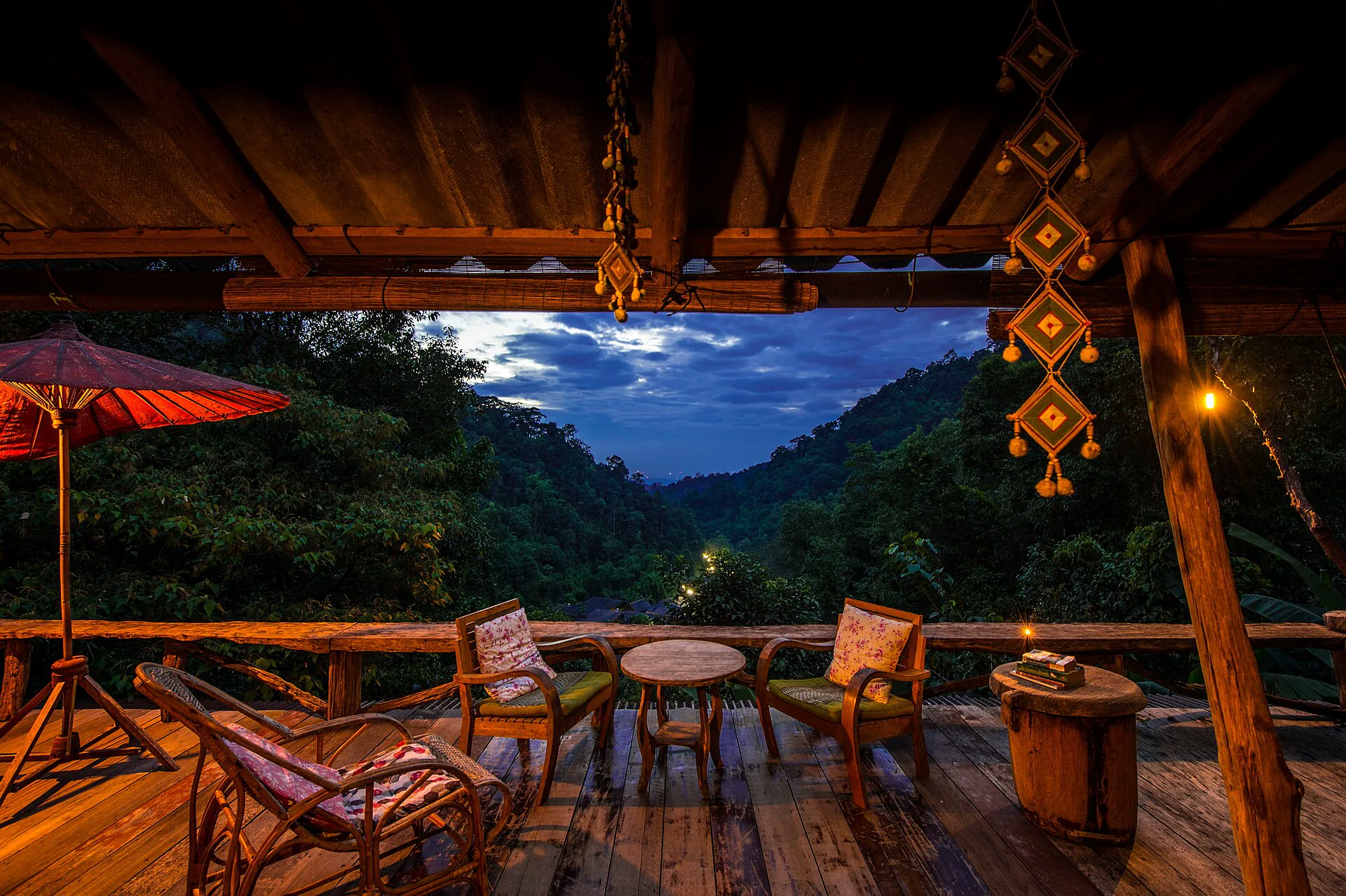
Mae Kampong
A resident-first village day or overnight with real capacity, road and return constraints.
Plan with limits →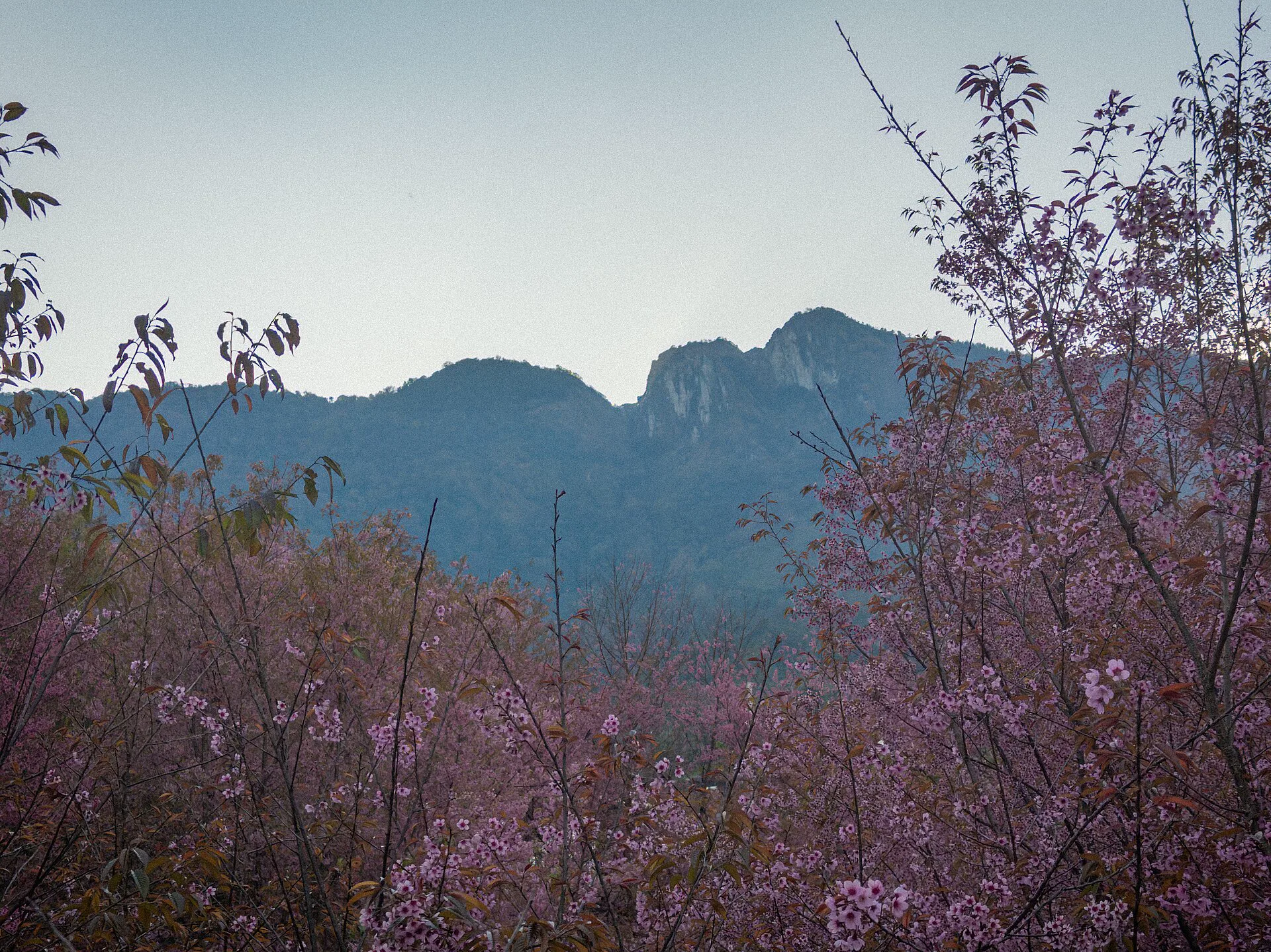
Doi Inthanon
A high-altitude park day where forecast, park notices and vehicle time outrank a rigid stop list.
Check the summit →Air quality can replace the day
Smoke and particulate conditions fluctuate. A calendar gives context, but the official reading and personal health needs decide whether an exposed viewpoint, long walk or mountain road remains sensible.
Build a substitution, not a denial
- Check Air4Thai and current public-health advice before departure and again locally.
- Move strenuous outdoor plans when readings or symptoms make them a poor trade.
- Keep museums, craft spaces, meals and rest as genuine chapters—not consolation prizes.
- Do not assume higher elevation automatically means cleaner air or safer visibility.
Read heat, rain and elevation separately
Official forecasts and park notices beat fixed month-by-month promises. These broad planning frames explain what to verify, not what the weather must do.
Demand rises with comfort
Mornings can feel gentle in town and genuinely cool at elevation. Popular dates require earlier lodging and transport decisions.
Heat and air both matter
Start outdoor city walks early and watch official air data. Do not lock a strenuous mountain day before seeing current conditions.
Green is not frictionless
Short intense rain, slippery paths, low cloud and road disruption can change mountain plans. Protect electronics and preserve a city alternative.
Airport, train and road arrive on different edges
Chiang Mai International Airport is close to the city, but traffic, baggage and the exact hotel lane still matter. Train arrival is slower but creates a different journey; mountain transfers should never be treated as a central-city ride.
Match the counter to the address
Use current AOT transport information, confirm the official pickup point and show the exact hotel address. A short distance can still cross congested corridors.
Schedule by the live timetable
Overnight and daytime services change. Check the State Railway timetable and berth details instead of copying an old train number from a blog.
Book the return first
For Mae Rim, Mae Kampong and Doi Inthanon, agree on vehicle, pickup, waiting, weather policy and return point before leaving the city grid.
Old City or east edge
Choose this side when temple mornings, Tha Phae, Sunday walking access and a compact first orientation dominate. Check the exact lane for vehicle access, evening noise and luggage handling.
- Best for walking-first cultural days.
- Useful when early temple access matters.
- Not automatically the fastest base for every mountain road.
Nimman, river or elsewhere
Nimman suits contemporary businesses and airport proximity; the river edge suits slower evenings and bridge-based walks. Neither removes the need for road transport to most outer-valley routes.
- Choose Nimman for west-side daily life.
- Choose the river for east-bank atmosphere.
- Verify aircraft or nightlife noise block by block.
Alternate attention, altitude and recovery
The mountain day moves with weather and air. Keep it swappable rather than attaching every booking to one fragile sequence.
Old City orientation
Walk one half of the moat, give two temples real attention and learn the gate nearest the hotel before an early evening.
Choose a city contrast
Use Nimman and the university edge for a contemporary chapter, or cross to Wat Ket and the Ping for slower scale.
Doi Suthep sequence
Check air and weather, secure a safe return and combine Wat Pha Lat with Doi Suthep only when the transport plan is clear.
Valley, village or summit
Choose Mae Rim, Mae Kampong or Doi Inthanon. Each is a full transport commitment, not a trio of adjacent pins.
Chiang Mai planning FAQ
How many days do I need in Chiang Mai?
Four full days supports the old city, one contemporary or river district, Doi Suthep and one outer-valley choice. Five or six nights gives weather flexibility and makes an overnight in Mae Kampong or a full Doi Inthanon day easier.
Where should a first-time visitor stay?
Choose the Old City for walking-first heritage days, Nimman for contemporary west-side life and airport proximity, or the river/Night Bazaar edge for evening access. Inspect the exact block for noise and vehicle access.
When should I worry about smoke?
Risk often receives more attention in the hotter late-dry-season period, but conditions vary by day and year. Use official Air4Thai readings and health guidance close to travel, and keep replaceable outdoor plans.
Do I need a rental car?
Not for a central city stay. For outer districts, a vetted driver, suitable rental vehicle or verified tour can work; the essential part is a confirmed return plan and a driver comfortable with mountain roads and conditions.
Start square, mountain or contemporary
Official sources and photo credits
Planning facts were reviewed on 26 August 2026. Air quality, forecasts, park access, transport and opening details can change; follow the linked authority before travel. Local images were resized or converted to WebP; visible framing may crop the display.
- Tourism Authority of Thailand — Chiang Mai destination overview and Chiang Mai’s mountain context.
- Airports of Thailand — Chiang Mai airport transportation.
- State Railway of Thailand — current timetable matrix.
- Pollution Control Department — Air4Thai.
- Department of National Parks — Doi Inthanon National Park.
- Tha Phae Gate — Jakub Hałun, CC BY-SA 4.0; resized and converted to WebP, display crop.
- Wat Chedi Luang — Jakub Hałun, CC BY-SA 4.0; resized and converted to WebP, display crop.
- Nimmanhaeminda Road — Setawut, CC BY 4.0; resized and converted to WebP, display crop.
- Wat Pha Lat — Stefan Fussan, CC BY-SA 3.0; resized and converted to WebP, display crop.
- Warorot Market — Christophe95, CC BY-SA 4.0; resized and converted to WebP, display crop.
- Ping River from Chansom Memorial Bridge — Christophe95, CC BY-SA 4.0; resized and converted to WebP, display crop.
- Mae Sa Valley — VN.NguyenDucDuy, CC BY-SA 4.0; resized and converted to WebP, display crop.
- Mae Kampong village — LannaPhoto, CC BY-SA 3.0; resized and converted to WebP, display crop.
- Doi Inthanon mountain ridge and cherry blossoms — Nnthurber, CC BY-SA 4.0; resized and converted to WebP, display crop.
- Wat Phra That Doi Suthep — Jakub Hałun, CC BY-SA 4.0; resized and converted to WebP, display crop.