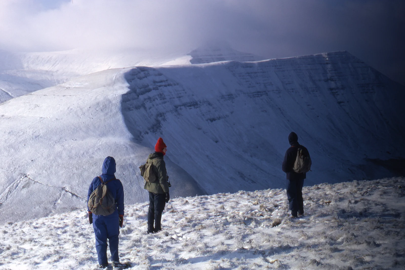
Bannau Brycheiniog Gateways
Travel to Brecon, Abergavenny, Merthyr Tydfil or another named gateway, assess mountain conditions there, complete one signed route and recover the final transport before dark.
Three useful choices, each with a real sacrifice.
Brecon and lower landscape
Use the town, canal or a lower signed route. This provides national-park context with the largest transport and weather margin.
Pen y Fan approach
Use one official trailhead and route matched to conditions. It gives the highest-profile ridge but attracts crowd and parking pressure.
Eastern Black Mountains
Base from Abergavenny or another named gateway for one mapped route. It offers a distinct landscape but is not interchangeable with central Bannau.
Meet the day at its real gateway.
The national park has no single station. Cardiff and other rail cities connect to Merthyr Tydfil, Abergavenny or bus corridors, while trailheads may remain far away. Confirm the exact gateway, stop and final return before leaving the city.
Know what this route leaves out.
A ridge day sacrifices town, canal and museum time but gains elevation. A lower route gives up the summit while protecting safety, public transport and a useful poor-weather day.
Use Cardiff, Bannau Brycheiniog & Gower as an operating system, not a pin collection.
Cardiff’s civic centre, castle and bay form a rail-and-bus city system. Bannau Brycheiniog and the Gower Peninsula require different gateways, road or bus connections and weather decisions. A strong South Wales stay uses the capital as a base but does not imply the national park or coast begins at Cardiff Central.
Three to five nights supports Cardiff plus one mountain and one coast branch with a weather fallback. Swansea can be a better base for Gower, while Abergavenny, Brecon or Merthyr Tydfil suit different Bannau approaches.
Cardiff Central and Queen Street serve different city edges. Transport for Wales reaches regional gateways, but national-park and Gower sites need named buses, tours, bicycles or cars. Check the final rural return and Sunday pattern.
Rain and wind matter on ridges and beaches year-round. Summer raises Gower road pressure; winter shortens Bannau routes. Rugby and stadium events can transform Cardiff streets and rail capacity.
Use Cardiff’s castle, national museum, arcades and bay as the complete poor-weather day. If mountain or coast access fails, do not replace it with another remote outdoor branch.
Arrive, read the window, commit once, then get back.
Check national-park alerts, Met Office mountain weather, the exact train and bus, parking or tour status, daylight and route conditions before departure.
- 01Arrive
Reach one named gateway
Use the verified train, bus, tour or car route and save the final return. Do not navigate to a generic park centre after arrival.
- 02Read the window
Read the mountain weather
Assess wind, cloud, rain, temperature and path conditions at low ground. Activate the lower route before climbing.
- 03Commit
Commit to one mapped line
Follow the official or properly mapped route with a time-based turnaround. Stay off eroded shortcuts and private land.
- 04Return
Return before daylight and service edge
Regain the gateway with margin for wet surfaces and rural delays, then protect the rail connection to Cardiff or the base.
Reopen the sources that control today’s window.
The guide explains the route decision; these official pages control transport, admission, paths, tides, weather and closures.
Keep a complete lower-risk day.
If ridges are unsuitable, use Brecon, the Monmouthshire and Brecon Canal or a lower woodland and reservoir route approved for current conditions. Do not drive to another exposed summit.
Check national-park alerts, Met Office mountain weather, the exact train and bus, parking or tour status, daylight and route conditions before departure.
Change the plan while the return is still strong.
Pen y Fan is not the whole park
Different gateways and landscapes require different transport. Choose the route from the base and conditions.
Parking pressure can close the plan
Do not road-park or block access when official capacity is full. Use public transport or the lower fallback.
Navigation remains necessary
Popular paths can disappear in cloud or snow. Carry the correct map and equipment for the chosen level.
Other ways to use Cardiff, Bannau Brycheiniog & Gower.
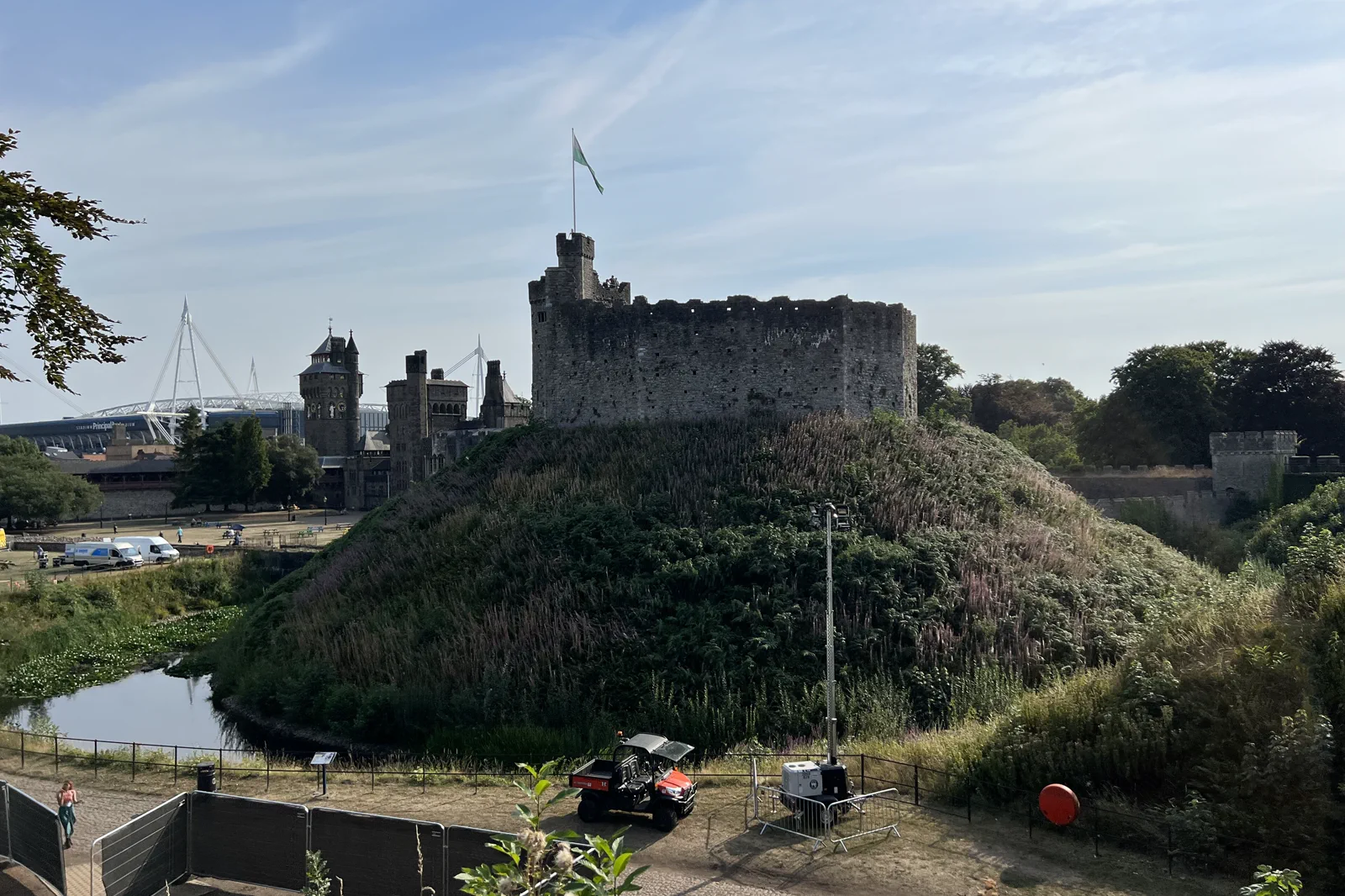
Cardiff Castle, Civic Centre & Bay
Choose Cardiff Castle, the national museum or the bay as the main anchor and use one intentional rail, bus or walking move…
Open this field file →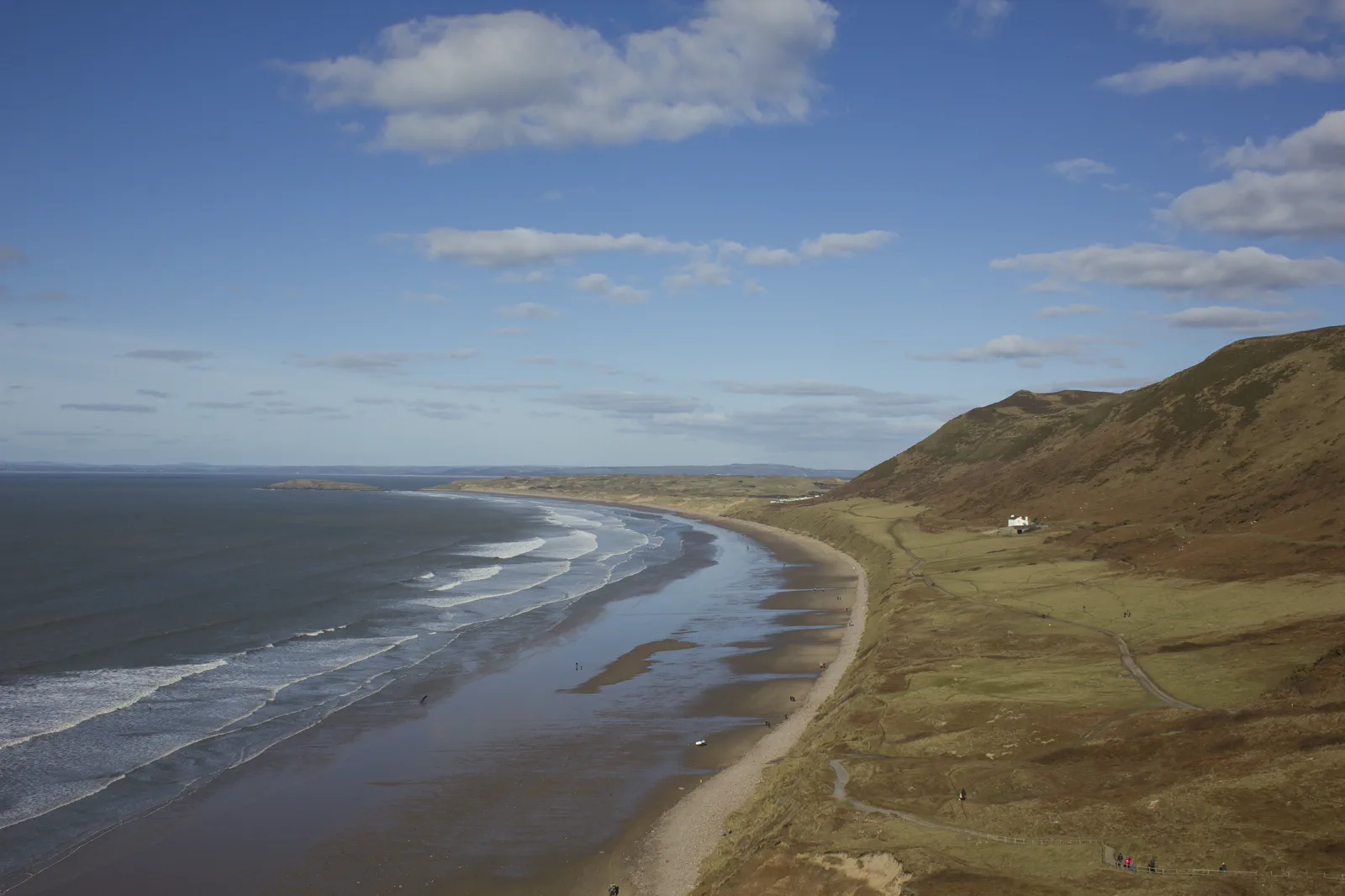
Swansea & the Gower Peninsula
Choose Swansea Bay or one Gower coast branch and match it to the exact bus, tide and cliff conditions rather than…
Open this field file →Bannau Brycheiniog Gateways FAQ
How much time should I give Bannau Brycheiniog Gateways?
Allow a full day for any mountain gateway from Cardiff. A lower Brecon-and-canal plan can fit five to seven hours including transport.
What should I combine with Bannau Brycheiniog Gateways?
Combine Brecon with one lower route or a ridge with its single gateway. Keep Cardiff Bay and Gower for separate days.
What should I verify before leaving?
Check national-park alerts, Met Office mountain weather, the exact train and bus, parking or tour status, daylight and route conditions before departure.
Official sources and photo credits
Planning facts and image licensing were reviewed on 20 September 2026. Admission, transport, roads, paths, tides, weather and local access can change; reopen the linked authority or operator before travel.
- Bannau Brycheiniog National Park — official visitor centre information.
- Transport for Wales — official bus information.
- Visit Cardiff — official destination guide.
- Transport for Wales — rail and bus planning.
- Bannau Brycheiniog National Park — official visitor information.
- Cardiff Castle keep - exterior 01.jpg — Ferdinando Traversa, CC BY-SA 4.0. Resized, display-cropped and converted to WebP; no other material edits.
- Brecon beacons in the snow arp.jpg — Adrian Pingstone ( Arpingstone ), Public domain. Resized, display-cropped and converted to WebP; no other material edits.
- Rhossili Bay, Gower, Wales (25026114886).jpg — Jeremy Segrott from Cardiff, Wales, UK, CC BY 2.0. Resized, display-cropped and converted to WebP; no other material edits.