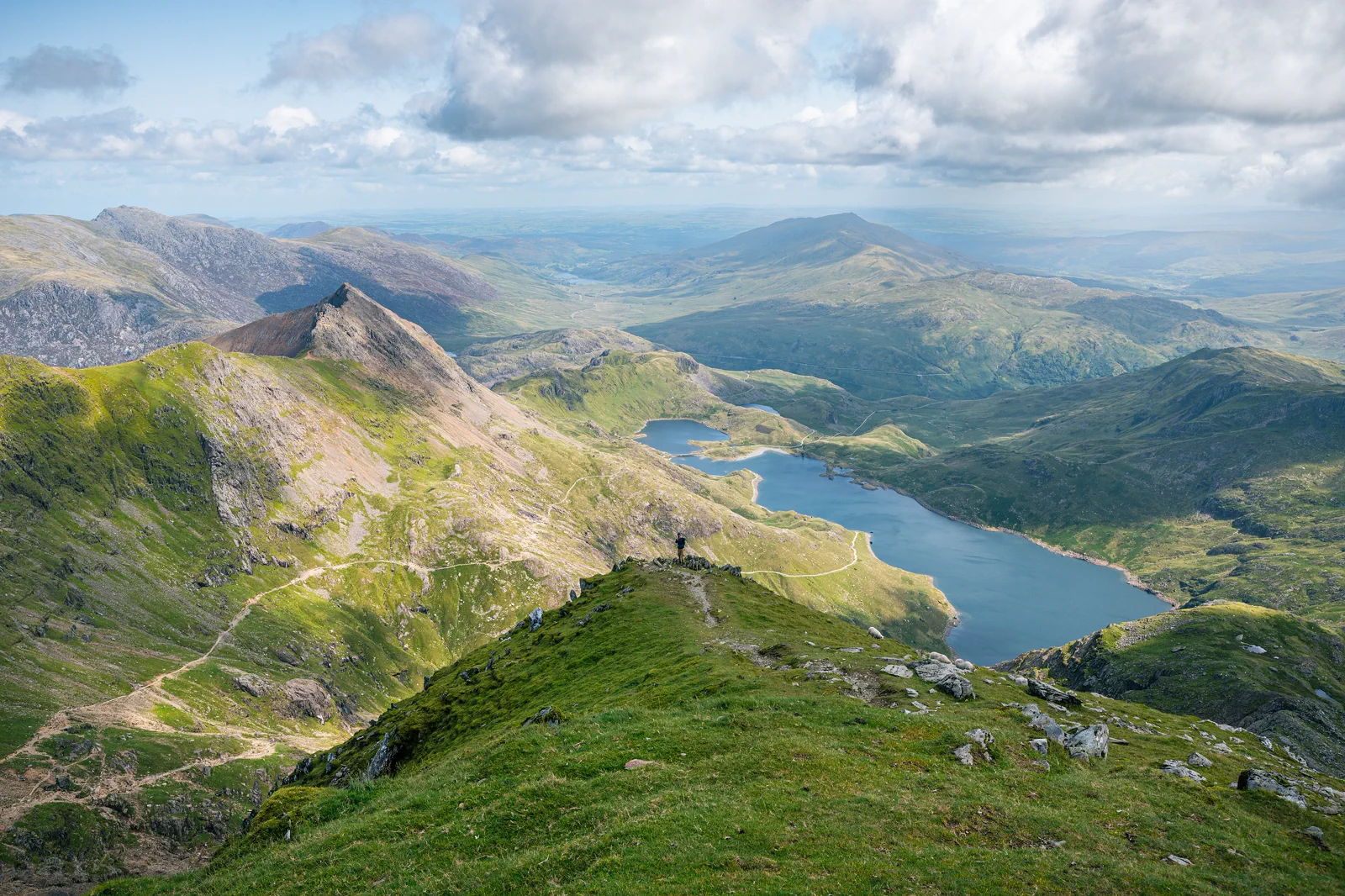
Yr Wyddfa Gateway Choice
Reach Llanberis, Pen-y-Pass or another named start, read mountain conditions, complete the booked railway or mapped route with turnaround rules, and return before the gateway transport closes.
Three useful choices, each with a real sacrifice.
Llanberis and lower mountain
Use the village, lake, museum and a lower route or railway context. This is the strongest fallback and easiest public-transport base.
Mountain railway product
Book the exact destination and departure currently offered. It gives elevation with controlled timing but remains weather-dependent and is not a walking rescue.
Mapped summit walk
Choose one path matched to skill, equipment and conditions. It offers the full mountain day but owns all daylight and return margin.
Meet the day at its real gateway.
Yr Wyddfa has multiple trailheads on different roads. Parking, Sherpa’r Wyddfa buses and Llanberis services vary by date. The mountain railway has its own station, booking and operating limits. Confirm the exact start and final return before travel.
Know what this route leaves out.
A summit walk and mountain railway are separate products, not backup versions of the same day. Choosing the summit sacrifices village and museum time; choosing lower Llanberis gives up the top but preserves safety and transport.
Use North Wales & Eryri as an operating system, not a pin collection.
Conwy and Llandudno, Eryri’s mountain gateways, and Caernarfon with Anglesey form three distinct North Wales systems. Rail follows the coast, while mountain routes and castles add buses, seasonal railways, parking and weather. One named gateway per day is the practical standard.
Four to six nights supports a coast town, one Eryri day and a western castle or island branch. Llandudno Junction is useful for rail; Betws-y-Coed, Llanberis and Caernarfon open different mountain approaches and are not interchangeable bases.
Transport for Wales serves the north coast and Conwy Valley; buses and heritage railways continue to mountain gateways. Yr Wyddfa routes start from different points. Anglesey road and rail access does not automatically reach every coast site.
Mountain wind, cloud, snow and rain matter year-round. Summer creates parking and summit-rail demand; winter requires lower routes and short daylight. Coast and castle days remain useful fallbacks.
Use Conwy, Llandudno, Caernarfon or a rail-valley town when mountain access fails. Do not replace a closed Yr Wyddfa route with another high summit without a new forecast and transport plan.
Arrive, read the window, commit once, then get back.
Check Eryri National Park advice, Met Office mountain weather, Sherpa’r Wyddfa transport, parking and the exact railway status before departure.
- 01Arrive
Reach the exact gateway
Use the booked parking, bus or village arrival and save the final return. Do not navigate to “Snowdon” without a trailhead.
- 02Read the window
Read the mountain gate
Check cloud, wind, rain, temperature, snow or ice and official advice at low level. Activate the lower plan early.
- 03Commit
Commit to railway or route
Board the exact railway product or follow the chosen mapped path with equipment and a time turnaround. Do not switch paths casually.
- 04Return
Recover the gateway before dark
Return to the same or planned exit, allowing descent fatigue and bus gaps. A summit photograph never outranks the final safe connection.
Reopen the sources that control today’s window.
The guide explains the route decision; these official pages control transport, admission, paths, tides, weather and closures.
Keep a complete lower-risk day.
If summit conditions or railway operation fail, use Llanberis, the lake, slate museum when open or a signed lower path. Do not drive to another mountain route without reassessing conditions.
Check Eryri National Park advice, Met Office mountain weather, Sherpa’r Wyddfa transport, parking and the exact railway status before departure.
Change the plan while the return is still strong.
Routes start in different places
Llanberis, Pen-y-Pass and other paths cannot be swapped after parking or bus arrival without a new connection.
Railway destination can vary
Operations may not always reach the summit. Read the exact booked product and do not infer a guaranteed top.
Mountain rescue is not itinerary support
Carry navigation, equipment, food and turnaround discipline appropriate to the route. Change the plan before conditions overwhelm it.
Other ways to use North Wales & Eryri.
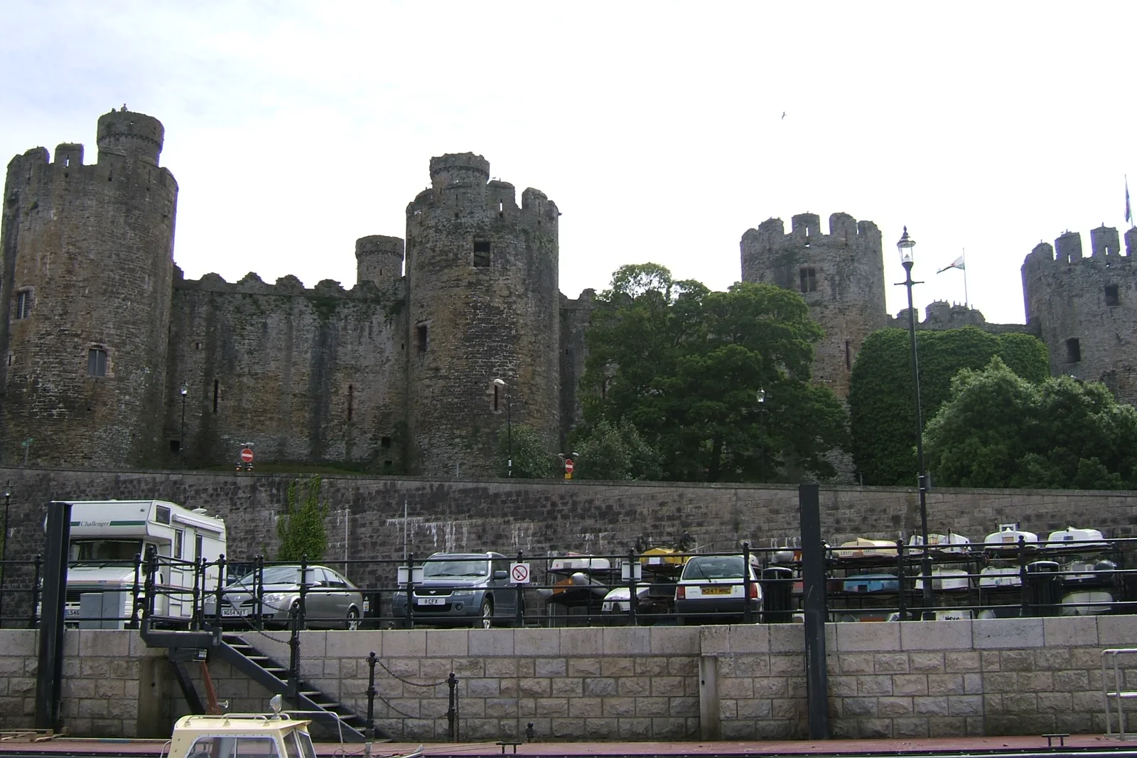
Conwy Castle & Llandudno
Choose Conwy’s castle-and-walls or Llandudno’s bay-and-Great-Orme system as the main day, using the short rail link once…
Open this field file →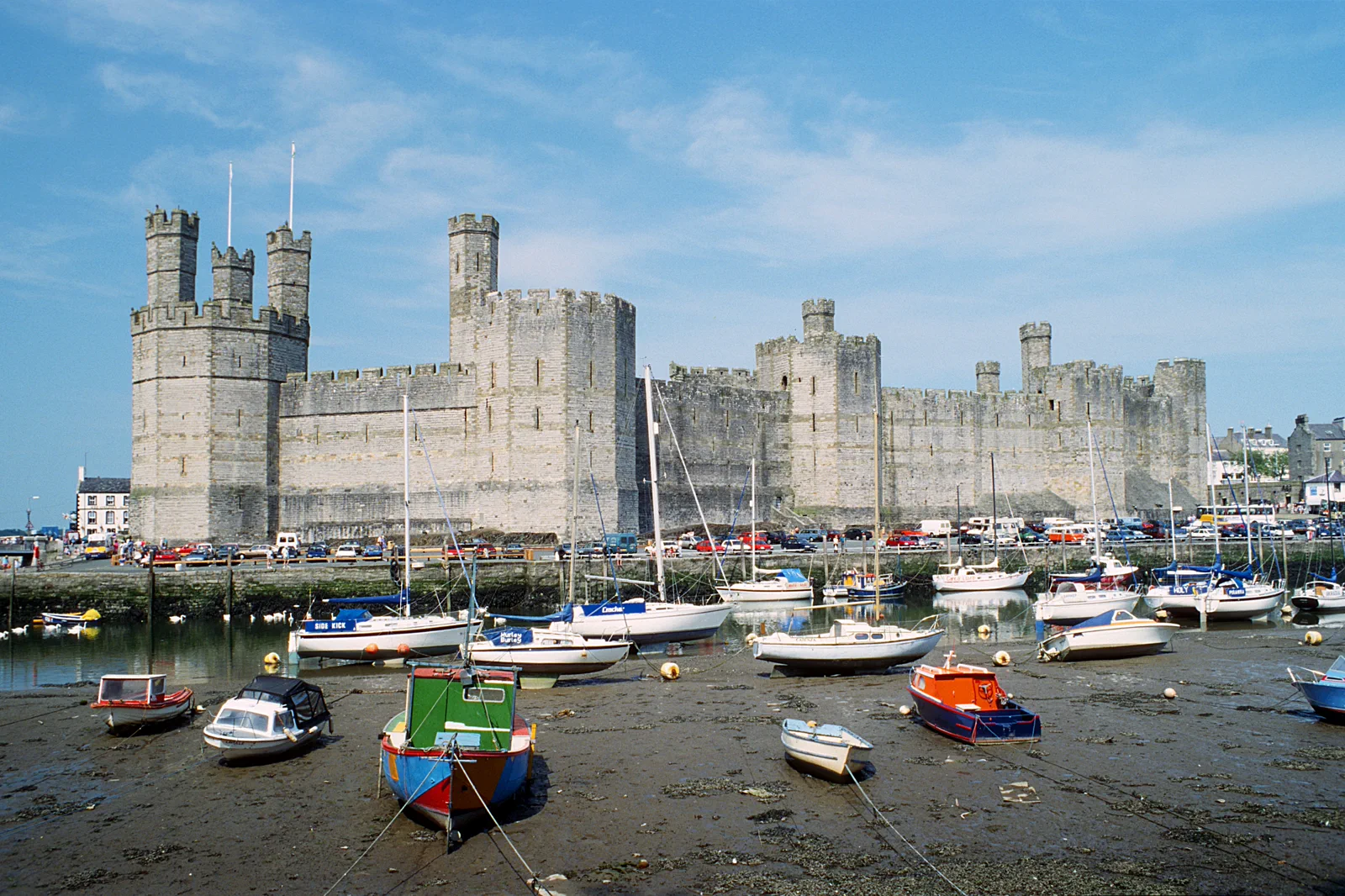
Caernarfon & Anglesey
Choose Caernarfon Castle or one Anglesey coast community as the main destination and make the Menai crossing and onward bus…
Open this field file →Yr Wyddfa Gateway Choice FAQ
How much time should I give Yr Wyddfa Gateway Choice?
Allow the full day for a summit walk or railway-and-Llanberis plan. Lower village and lake routes can fit five to seven hours.
What should I combine with Yr Wyddfa Gateway Choice?
Combine Llanberis with the booked railway or one lower route. Keep Conwy, Caernarfon and Anglesey for separate days.
What should I verify before leaving?
Check Eryri National Park advice, Met Office mountain weather, Sherpa’r Wyddfa transport, parking and the exact railway status before departure.
Official sources and photo credits
Planning facts and image licensing were reviewed on 20 September 2026. Admission, transport, roads, paths, tides, weather and local access can change; reopen the linked authority or operator before travel.
- Eryri National Park — official Yr Wyddfa guidance.
- Snowdon Mountain Railway — official visit planning.
- Visit Wales — official North Wales guide.
- Eryri National Park — official visitor information.
- Transport for Wales — rail and bus planning.
- Conwy Castle viewed from River Conwy - geograph.org.uk - 1925680.jpg — Richard Hoare, CC BY-SA 2.0. Resized, display-cropped and converted to WebP; no other material edits.
- Yr Wyddfa towards Llyn Llydaw Crib Goch 2019 01.jpg — Julian Herzog ( Website ),, CC BY 4.0. Resized, display-cropped and converted to WebP; no other material edits.
- Caernarfon Castle 1994.jpg — Herbert Ortner, CC BY 4.0. Resized, display-cropped and converted to WebP; no other material edits.