Newcastle, Durham & Northumberland
Keep the twin river cities rail-simple; give the tidal coast its own clock.
Newcastle–Gateshead and Durham are compact rail cities with strong river and collection routes, while Bamburgh and Holy Island introduce long road links and a tidal causeway. The region works when city days remain complete and the coast is planned as a separate weather-and-tide operation.
Choose one file from the gateway, weather and return you actually have.
Every file carries its own access decision, sequence, fallback, break points, official sources and licensed image record.
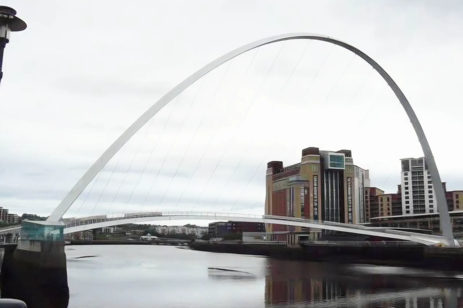
Newcastle & Gateshead Quays
Choose one bank and cultural anchor, then cross the Tyne deliberately so station elevation, bridges and Quayside venues form a route rather than repeated climbs.
Open the complete field file →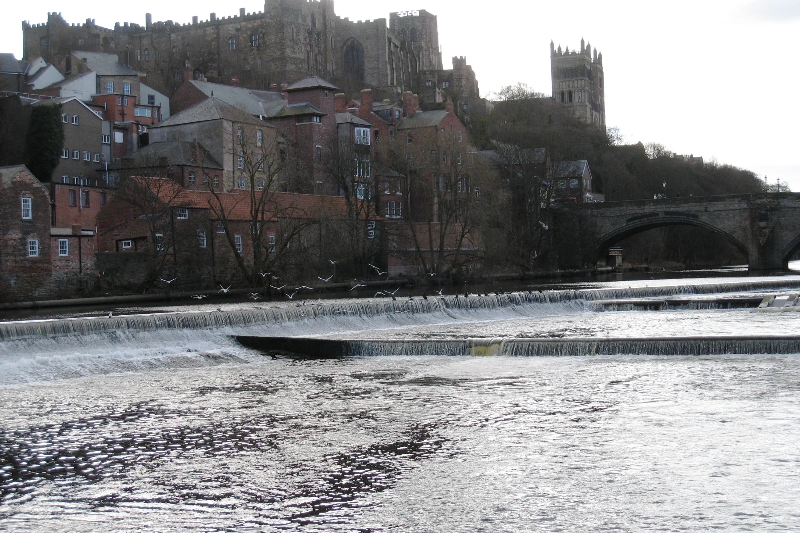
Durham Cathedral & River Peninsula
Use Durham’s peninsula as one vertical route, choosing cathedral, castle or river loop depth and allowing for the steep station-to-core connection.
Open the complete field file →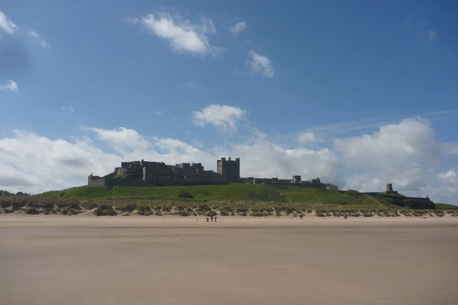
Bamburgh Castle & Holy Island
Choose Bamburgh or Holy Island as the main coast destination and make the published causeway window, road distance and final bus or pickup the governing facts.
Open the complete field file →Each route buys something by leaving something else out.
Newcastle & Gateshead Quays
Gateway: Newcastle Central is above the Quayside. Gateshead venues may be closer to Gateshead Metro than to a return climb across the river. Choose the first downhill street, one bridge crossing and the final station before adding Ouseburn.
Sacrifice: The historic core, Gateshead culture and Ouseburn point in three directions. Choosing one secondary district sacrifices another but avoids repeated steep climbs and bridge crossings.
Time: Allow six to eight hours for one cultural anchor and two-bank route. A historic core plus short Quayside circuit can fit four to five hours.
Durham Cathedral & River Peninsula
Gateway: Durham station sits high west of the centre, while the cathedral peninsula rises again above the Wear. Buses and taxis can reduce the first climb. Castle access is often by specific tour, and riverside paths may include stairs or mud.
Sacrifice: A full cathedral visit, castle tour and complete river loop compete for the same half-day. Choosing the river sacrifices interior depth; choosing both controlled buildings makes the landscape a short viewpoint only.
Time: Allow five to seven hours for one major interior and a river route. A cathedral-and-city stop can fit three to four hours between trains.
Bamburgh Castle & Holy Island
Gateway: Neither Bamburgh nor Holy Island has a railway station. Buses, tours and road transfers begin from named towns or stations, and services can be sparse. Holy Island’s causeway becomes unsafe outside published crossing periods; ordinary map travel times are irrelevant then.
Sacrifice: Bamburgh Castle and a meaningful Holy Island visit do not always fit the same tide window. Choosing the island sacrifices a relaxed castle day; choosing Bamburgh gives up the tidal crossing but protects flexibility.
Time: Allow a full day for either Bamburgh or Holy Island from Newcastle. Combining them is appropriate only when a booked route and safe tide window leave real dwell time.
These sources control the moving parts.
Use the route book for structure, then reopen current transport, destination and weather information for the exact date.
Newcastle, Durham & Northumberland FAQ
How long should I give Newcastle, Durham & Northumberland?
Three to five nights in Newcastle supports the Tyne, Durham and one Northumberland branch. Durham also works as a quiet base but offers fewer coast connections. A Holy Island day should never be tied to a hotel-change deadline.
What transport decision matters most around Newcastle, Durham & Northumberland?
Newcastle Central, Gateshead Metro stops and Durham station sit at different elevations. Northumberland coast buses and roads cover long distances; Holy Island access is governed by published safe crossing times rather than ordinary opening hours.
What should I do if weather, access or transport changes?
If tide, wind or coast transport fails, use Newcastle or Durham as a complete city day. Do not substitute another remote beach or castle without rechecking the return.
Official sources and photo credits
Planning facts and image licensing were reviewed on 20 September 2026. Verify current tickets, services, roads, paths, tides and site access before travel.
- NewcastleGateshead — official destination guide.
- Visit County Durham — official destination guide.
- Visit Northumberland — official destination guide.
- Gateshead Millennium Bridge viewed from the Gateshead bank, Tyne and Wear, England.jpg — Salwa Farwaneh Dameh, CC0. Resized, display-cropped and converted to WebP; no other material edits.
- River Wear, Durham Castle and Cathedral - geograph.org.uk - 1737829.jpg — Philip Barker, CC BY-SA 2.0. Resized, display-cropped and converted to WebP; no other material edits.
- Coastal Northumberland , Bamburgh Castle - geograph.org.uk - 3986420.jpg — Richard West, CC BY-SA 2.0. Resized, display-cropped and converted to WebP; no other material edits.