Cotswold Towns Without a Car
Select a rail gateway and one or two connected towns, keep the route inside the published bus pattern, and treat footpaths or a tour as separate products rather than invisible links.
Three useful choices, each with a real sacrifice.
Moreton-in-Marsh corridor
Use the rail station as the firm gateway and connect only villages served by a verified bus or booked tour. This is the strongest car-free structure but not the broadest circuit.
Bourton and Stow focus
Base the day on two popular towns with a known connection. It gives classic streets and services but can be crowded and timetable-dependent.
Guided or private circuit
Use a licensed tour or car when several villages and rural stops matter. This buys geographic reach but gives up independent timing and increases cost.
Meet the day at its real gateway.
There is no single Cotswolds station. Moreton-in-Marsh, Cheltenham, Oxford and other gateways serve different edges. Build the day from the actual rail arrival, bus route and final return, and distinguish a roadside stop from a town centre.
Know what this route leaves out.
Public transport protects independence and cost but restricts the number and order of villages. A tour increases reach but reduces dwell-time control. The route refuses to promise multiple famous villages without naming the connection between them.
Use Oxford, Blenheim & the Cotswolds as an operating system, not a pin collection.
Oxford is a rail-connected walking city, while Blenheim Palace and the Cotswold towns depend on buses, tours, bicycles or a car. A strong base plan distinguishes college opening windows from rural timetables and never treats “the Cotswolds” as one station or one attraction.
Two nights supports a complete Oxford day plus one palace or rural excursion. Three nights allows a weather-safe museum alternative and a second landscape day without carrying luggage onto local buses.
Oxford railway station, Gloucester Green coach station and suburban park-and-ride stops solve different arrivals. For Blenheim or villages, verify the exact stop, Sunday pattern and return before boarding; a place name on a regional map is not a walkable connection.
College access changes with terms, ceremonies and private events. Rural buses thin on some days, winter light shortens village walks, and peak weekends increase road pressure around Woodstock and popular Cotswold towns.
When a college, palace interior or rural connection fails, keep a complete Oxford museum-and-river day. Do not improvise a taxi chain through multiple villages without a confirmed return.
Arrive, read the window, commit once, then get back.
Check the official destination transport advice, the named bus operator’s dated timetable, rail disruptions, daylight and any walking-route condition before departure.
- 01Arrive
Arrive at one gateway
Use the rail or coach arrival that connects to the chosen bus corridor. Do not change gateways mid-day simply because two villages look close on a map.
- 02Read the window
Read the first town fully
Walk a bounded town circuit, include a meal or interior and locate the onward stop before leaving the centre.
- 03Commit
Commit to one connection
Take the verified bus, booked tour or signed path to the second place. If it is late or full, activate the same-town fallback rather than improvising a third village.
- 04Return
Protect the rail return
Reach the gateway with one service in reserve where possible. Keep taxi numbers as contingency, not as the primary unbooked plan.
Reopen the sources that control today’s window.
The guide explains the route decision; these official pages control transport, admission, paths, tides, weather and closures.
Keep a complete lower-risk day.
If the connecting bus fails, stay in the gateway or first town and use its church, market streets, local walk and meal options. If weather affects paths, remove the rural walk before removing the protected return.
Check the official destination transport advice, the named bus operator’s dated timetable, rail disruptions, daylight and any walking-route condition before departure.
Change the plan while the return is still strong.
Sunday is a different network
Routes and frequencies can change sharply on Sundays and holidays. Check the exact travel date, not a weekday screenshot.
Village names do not imply proximity
Narrow roads and sparse cross-links make map distance misleading. Never assume a short taxi wait or safe roadside walk.
Footpaths need their own evidence
A public right of way can be muddy, unsigned at junctions or far from a bus stop. Carry a proper route and turn-back point.
Other ways to use Oxford, Blenheim & the Cotswolds.
Oxford Colleges, Libraries & Museums
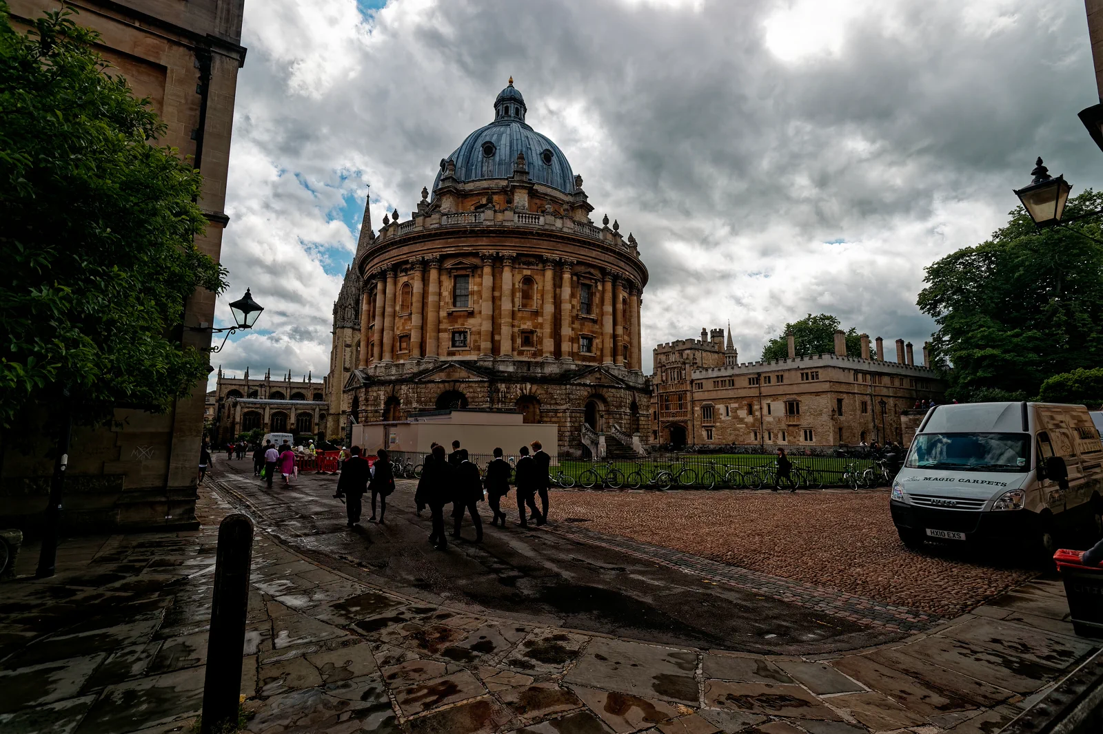
Choose one college or library interior and build a coherent university-city walk around its actual public opening window,…
Open this field file →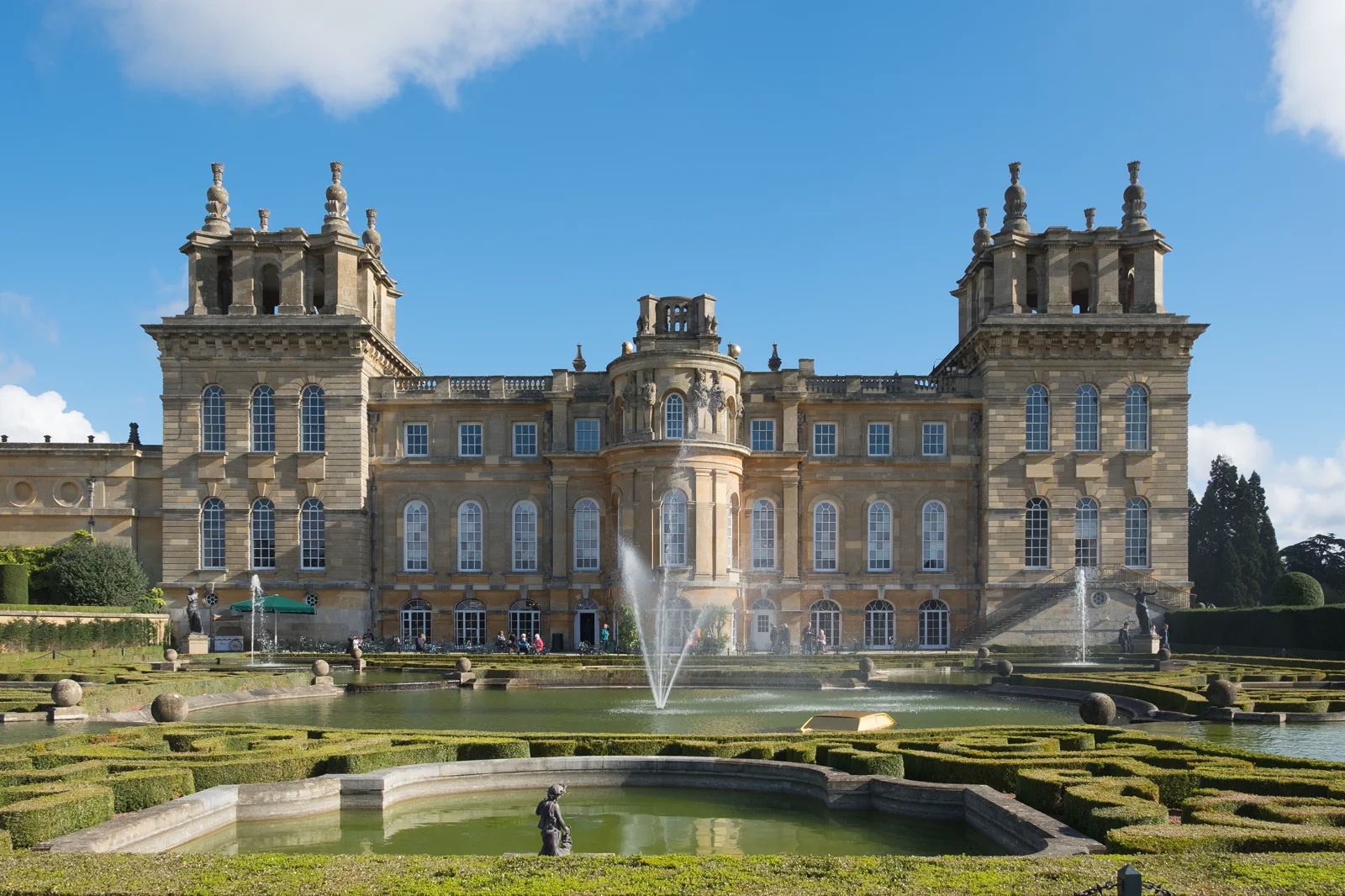
Blenheim Palace & Woodstock
Plan the bus, palace gate, ticketed interior and landscaped grounds as one estate day, while deciding whether Woodstock is…
Open this field file →Cotswold Towns Without a Car FAQ
How much time should I give Cotswold Towns Without a Car?
Allow a full day for one gateway and one or two connected towns. More than two independent stops usually requires a booked tour, car or an overnight stay.
What should I combine with Cotswold Towns Without a Car?
Combine villages that share the same published corridor. Keep Oxford, Blenheim or Bath as separate base days rather than using them as last-minute add-ons.
What should I verify before leaving?
Check the official destination transport advice, the named bus operator’s dated timetable, rail disruptions, daylight and any walking-route condition before departure.
Official sources and photo credits
Planning facts and image licensing were reviewed on 20 September 2026. Admission, transport, roads, paths, tides, weather and local access can change; reopen the linked authority or operator before travel.
- Cotswolds tourism — official access guidance.
- Great Western Railway — rail planning and service updates.
- Experience Oxfordshire — official destination guide.
- Oxford Bus Company — local and regional bus information.
- Oxford - Catte Street - View SSW on the Radcliffe Camera 1737-48 by James Gibbs - University Church of St Mary the Virgin & Brasenose College in the back.jpg — Txllxt TxllxT, CC BY-SA 4.0. Resized, display-cropped and converted to WebP; no other material edits.
- Blenheim Palace from the Water Terraces October 2016.jpg — DeFacto, CC BY-SA 4.0. Resized, display-cropped and converted to WebP; no other material edits.
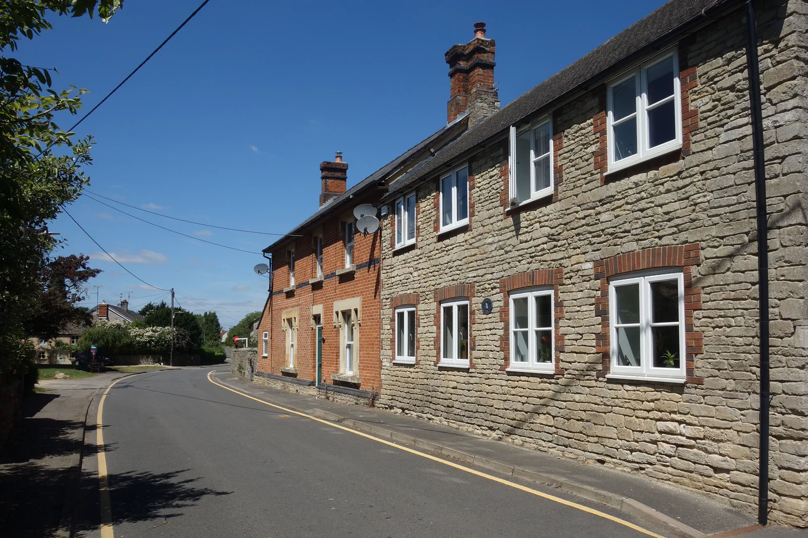
- Brick and Stone Houses - geograph.org.uk - 7209240.jpg — Des Blenkinsopp, CC BY-SA 2.0. Resized, display-cropped and converted to WebP; no other material edits.